Newtown
Settlement in Staffordshire South Staffordshire
England
Newtown

Newtown is a small village located in the county of Staffordshire, England. It is situated approximately 4 miles east of the town of Newcastle-under-Lyme and is part of the Staffordshire Moorlands district. The village is surrounded by picturesque countryside and is known for its rural charm.
The history of Newtown dates back to medieval times, and the village still retains some of its historic character with a few traditional buildings and cottages. The local church, St. Luke's, is a notable landmark that dates back to the 13th century and is worth a visit for its architectural beauty.
Despite its small size, Newtown offers a range of amenities and services to its residents. These include a primary school, a few local shops, a village hall, and a pub. The village also benefits from good transport links, with regular bus services connecting it to nearby towns and villages.
The surrounding countryside provides ample opportunities for outdoor activities such as walking, hiking, and cycling. Newtown is located close to the popular Peak District National Park, which offers stunning landscapes and attracts many visitors throughout the year.
Overall, Newtown, Staffordshire is a peaceful and idyllic village that offers a close-knit community atmosphere and a tranquil setting for those looking to escape the hustle and bustle of city life.
If you have any feedback on the listing, please let us know in the comments section below.
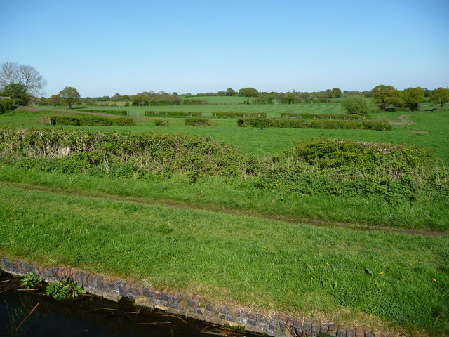
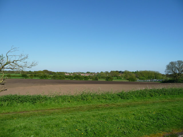
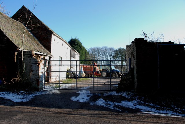
Newtown Images
Images are sourced within 2km of 52.638049/-2.010031 or Grid Reference SJ9904. Thanks to Geograph Open Source API. All images are credited.

![Teeces [or Teece's] Bridge, from the south Carrying Stoney Lane [Bloxwich] over the Wyrley & Essington Canal.](https://s3.geograph.org.uk/geophotos/05/79/08/5790887_d33dc2d5.jpg)


Newtown is located at Grid Ref: SJ9904 (Lat: 52.638049, Lng: -2.010031)
Administrative County: Staffordshire
District: South Staffordshire
Police Authority: Staffordshire
What 3 Words
///farm.design.event. Near Bloxwich, West Midlands
Nearby Locations
Related Wikis

Newtown, Staffordshire
Newtown is a small village in Essington parish, South Staffordshire, England. Newtown lies between the Landywood area of Great Wyrley (to the north) and...
Wednesbury Town F.C.
Wednesbury Town F.C. was the name used for three football clubs based in Wednesbury, West Midlands, England. == Original club == The Wednesbury Football...
Turnberry Estate
Turnberry Estate is a suburb of Bloxwich in the Metropolitan Borough of Walsall in the West Midlands, England. The estate is served by the X51 National...
Lower Farm Estate
Lower Farm Estate is a suburb of Bloxwich, in the Metropolitan Borough of Walsall, West Midlands, England. There are two multi-storey blocks of council...
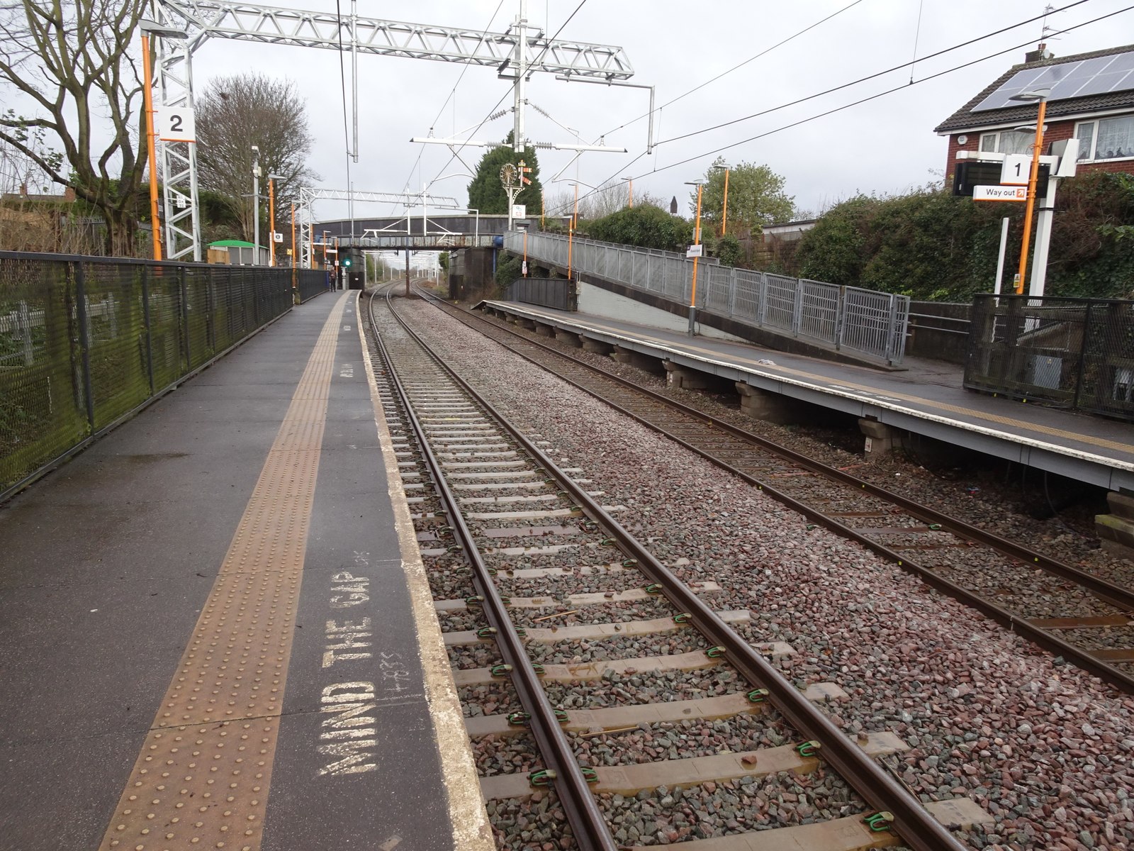
Bloxwich North railway station
Bloxwich North railway station serves the town of Bloxwich in the Metropolitan Borough of Walsall, West Midlands, England. The station, and all trains...
Little Bloxwich
Little Bloxwich is a residential area of Bloxwich, West Midlands, England. It is situated in the extreme north of the Metropolitan Borough of Walsall on...

Landywood
Landywood is a village in the South Staffordshire district of Staffordshire, England. Landywood is part of the South Staffordshire ward named "Great Wyrley...
Walsall Academy
Walsall Academy is a secondary school based in Bloxwich, Walsall, West Midlands, England. == School == It opened in January 2003 with 470 students on the...
Nearby Amenities
Located within 500m of 52.638049,-2.010031Have you been to Newtown?
Leave your review of Newtown below (or comments, questions and feedback).