An Fhadail Dubh

Settlement in Argyllshire

Scotland

An Fhadail Dubh

Track, Kentra
Track, Kentra Credit: Richard Webb

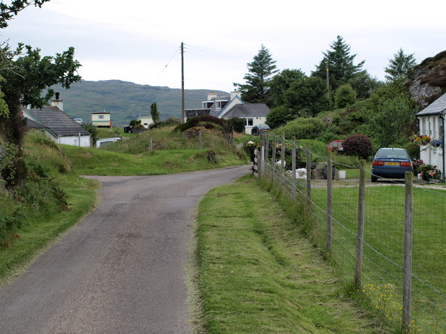
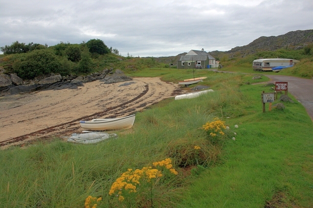
An Fhadail Dubh is a small village located in the region of Argyllshire, in western Scotland. Situated on the rugged west coast, the village is nestled between the rolling hills and the vast expanse of the Atlantic Ocean. With its breathtaking natural beauty and tranquil surroundings, it has become a popular destination for tourists seeking a peaceful retreat.

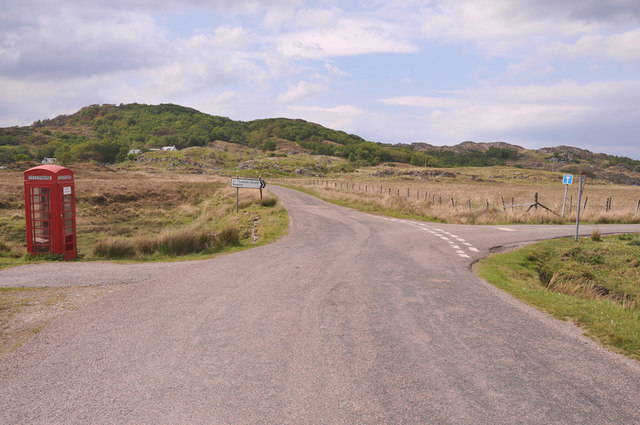
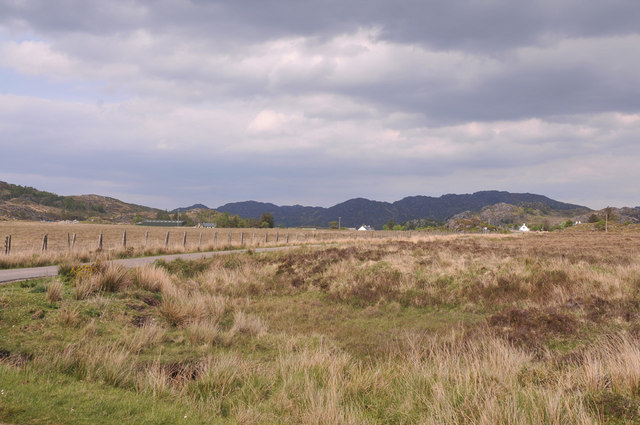
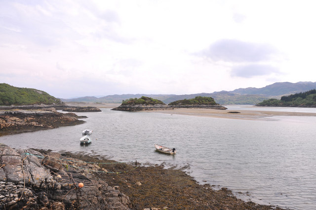
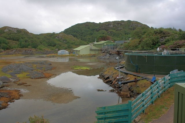
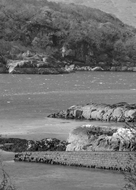
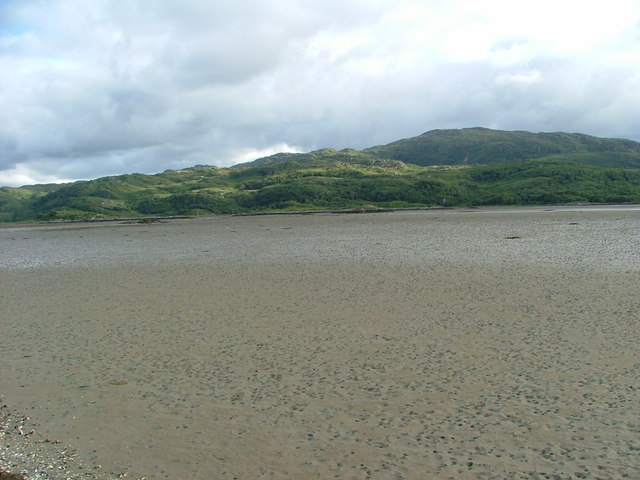
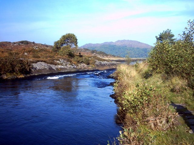
The village is known for its picturesque landscapes, characterized by lush green fields, towering cliffs, and pristine beaches. The coastline offers stunning views of the sea, with its sparkling waters and jagged rock formations. The village is also home to a variety of wildlife, including seals, dolphins, and various species of seabirds, making it a haven for nature enthusiasts.

An Fhadail Dubh is steeped in history, with evidence of human settlement dating back thousands of years. The ruins of ancient castles and standing stones dot the countryside, providing a glimpse into the area's rich past. Visitors can explore the local heritage through walking trails that lead to archaeological sites and historical landmarks.

Although small in size, the village boasts a warm and welcoming community. There are a few local pubs and restaurants where visitors can sample traditional Scottish cuisine and enjoy lively conversations with the friendly locals. Accommodation options in the area range from cozy bed and breakfasts to self-catering cottages, providing visitors with a comfortable stay.

For those seeking outdoor activities, An Fhadail Dubh offers opportunities for hiking, fishing, and boating. The nearby mountains and lochs provide a playground for adventure enthusiasts, with various trails and waterways to explore.

In summary, An Fhadail Dubh is a charming village in Argyllshire that offers a peaceful escape amidst stunning natural landscapes, rich history, and a warm community. It truly is a hidden gem on Scotland's west coast.

If you have any feedback on the listing, please let us know in the comments section below.

An Fhadail Dubh Images

Images are sourced within 2km of 56.762486/-5.8527222 or Grid Reference NM6470. Thanks to Geograph Open Source API. All images are credited.

Track, Kentra
Track, Kentra
Fictitious campsite, Kentra Not allowing tents in campsites was very much a trend at the time. Even when they are allowed, the cost is usually prohibitive, one site at the time was charging £50 a night.
Fictitious campsite, Kentra
Not allowing tents in campsites was very much a trend at the time. Even when they are allowed, the cost is usually prohibitive, one site at the time was charging £50 a night.
Ardtoe Ardtoe Village, Moidart
Ardtoe
Ardtoe Village, Moidart
Minor road at Shielfoot
Road junction near Newton of Ardtoe
Across Kentra Moss to Newton of Ardtoe
Kentra Bay
Kentra Bay
Jetty on Kentra Bay
Jetty on Kentra Bay
Fish Pond Originally used to conduct research into fish farming.
Fish Pond
Originally used to conduct research into fish farming.
Forested edge to the left and scattered trees at the right The scene is along the single track road in the Torr Mor area.
Forested edge to the left and scattered trees at the right
The scene is along the single track road in the Torr Mor area.
The River Shiel near Shielfoot
Jetty at Kentra Bay
Jetty at Kentra Bay
Rocky hills above Ardtoe
Torr Luinngeanach Small, rugged hill above Ardtoe.
Torr Luinngeanach
Small, rugged hill above Ardtoe.
Campsite, Ardtoe
Campsite, Ardtoe
Woodland Toor Luinngeanach Very steep ground.
Woodland Toor Luinngeanach
Very steep ground.
River Shiel
River Shiel
Show me another place!

An Fhadail Dubh is located at Grid Ref: NM6470 (Lat: 56.762486, Lng: -5.8527222)

Unitary Authority: Highland

Police Authority: Highlands and Islands

Also known as: Newton of Ardtoe

What 3 Words

///quite.canoe.kiosk. Near Arisaig, Highland

Related Wikis

Newton of Ardtoe

Newton of Ardtoe is a scattered crofting hamlet near Acharacle in Lochaber, Scottish Highlands and is in the council area of Highland.

Kentra Bay

Kentra Bay, also known as the Singing Sands, is a remote tidal, 306° orientated, coastal embayment located on the northern shore of the Ardnamurchan peninsula...

Ardtoe

Ardtoe (Scottish Gaelic: Àird Tobha) is a place on the coast of Ardnamurchan, Lochaber, in the Highland council area of Scotland. It has sandy beaches...

River Shiel

The River Shiel (Scottish Gaelic: Abhainn Seile) is a four kilometre long river in Acharacle, Highland. It flows out of the Loch Shiel into the sea at...

Nearby Amenities

Located within 500m of 56.762486,-5.8527222
Created By: dmgroom_coastlines
Source: PGS
Lat/Long: 56.75931/-5.857888
Created By: dmgroom_coastlines
Source: PGS
Lat/Long: 56.759443/-5.857665
Created By: dmgroom_coastlines
Source: PGS
Lat/Long: 56.759577/-5.857442
Created By: dmgroom_coastlines
Source: PGS
Lat/Long: 56.760099/-5.857016
Created By: dmgroom_coastlines
Source: PGS
Lat/Long: 56.760877/-5.856608
Created By: dmgroom_coastlines
Source: PGS
Lat/Long: 56.76101/-5.856384
Source: PGS
Lat/Long: 56.7612125/-5.8551918
Source: PGS
Lat/Long: 56.7611702/-5.8535642
Source: PGS
Lat/Long: 56.7605878/-5.853261
Source: PGS
Lat/Long: 56.7601406/-5.8531499
Source: PGS
Lat/Long: 56.7599097/-5.8528188
Source: PGS
Lat/Long: 56.7597006/-5.8522291
Source: PGS
Lat/Long: 56.7595397/-5.8523486
Source: PGS
Lat/Long: 56.7589365/-5.851091
Source: PGS
Lat/Long: 56.7582361/-5.850993
Source: PGS
Lat/Long: 56.7582707/-5.8514573
Source: PGS
Lat/Long: 56.7580764/-5.8513311
Passing Place
Lat/Long: 56.762648/-5.8551182
Passing Place
Lat/Long: 56.7614332/-5.8500716
Passing Place
Lat/Long: 56.7607122/-5.8494515
Passing Place
Lat/Long: 56.7624869/-5.8562074
Gobshealach
Place: isolated_dwelling
Lat/Long: 56.7623194/-5.8577679
Power: pole
Lat/Long: 56.7651115/-5.8515823
Power: pole
Lat/Long: 56.7645279/-5.850893
Power: pole
Lat/Long: 56.7638473/-5.8500963
Power: pole
Lat/Long: 56.7632666/-5.8494338
Power: pole
Lat/Long: 56.7625727/-5.8486265
Power: pole
Lat/Long: 56.7620067/-5.8479291
Power: pole
Lat/Long: 56.7613054/-5.8471325
Power: pole
Lat/Long: 56.7606453/-5.8465746
Power: pole
Lat/Long: 56.7626903/-5.8587974
Power: pole
Lat/Long: 56.763071/-5.8580571
Power: pole
Lat/Long: 56.7638575/-5.8563674
Power: pole
Lat/Long: 56.7642251/-5.8555734
Power: pole
Lat/Long: 56.7652321/-5.8535028
Power: pole
Lat/Long: 56.7657598/-5.8523655
Power: pole
Lat/Long: 56.7664448/-5.8524245
Power: pole
Lat/Long: 56.7624065/-5.8600661
Passing Place
Lat/Long: 56.7632786/-5.8524782
Passing Place
Lat/Long: 56.7649687/-5.852093
Telephone
Booth: K6
Covered: booth
Man Made: telephone_box
Lat/Long: 56.7623825/-5.8526637
The data included in this document is from www.openstreetmap.org. The data is made available under ODbL.

Have you been to An Fhadail Dubh?

Leave your review of An Fhadail Dubh below (or comments, questions and feedback).