Besford

Settlement in Worcestershire Wychavon

England

Besford

Path to woodland near Porter's Ashbed Looking north-west to an isolated wood near the Defford airfield. The landowner kindly allows access to this wood and several other private paths nearby. The public footpath ends at the corner of the wood, but a sign there reads "Visitors are permitted to enjoy this space, so long as dogs are kept under control and no wildlife, timber or flora are disturbed. No horse riding or motor vehicles please". I found the area most relaxing and at this time of year there are bluebells flowering in the wood.
Path to woodland near Porter's Ashbed Credit: Trevor Rickard

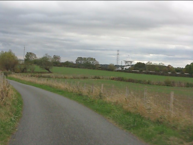
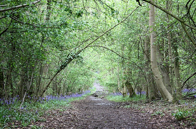
Besford is a small village located in the county of Worcestershire, England. Situated approximately 5 miles east of the town of Pershore, Besford is nestled in the picturesque countryside of the county. The village is part of the Wychavon district and falls within the parish of Eckington.

With a population of around 200 residents, Besford is a tight-knit community known for its peaceful and idyllic setting. The village is characterized by its charming cottages, many of which date back to the 17th and 18th centuries, adding to the village's historical charm.

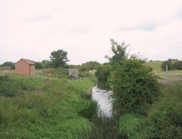
Besford is primarily an agricultural area, with fields and farmland surrounding the village. The fertile soil and favorable climate make it an ideal location for farming, and agriculture plays a significant role in the local economy.

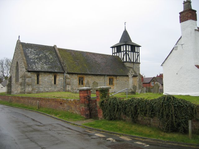
The village is home to the St. Peter's Church, a Grade II listed building that dates back to the 12th century. The church is a focal point for community gatherings and religious events.

Although small in size, Besford benefits from its proximity to larger towns and cities. The nearby town of Pershore offers a range of amenities and services, including shops, pubs, and schools. The city of Worcester, located approximately 10 miles northwest of Besford, provides further access to a wider range of facilities, including shopping centers, hospitals, and cultural attractions.

Overall, Besford is a charming rural village with a strong sense of community and a tranquil countryside setting.

If you have any feedback on the listing, please let us know in the comments section below.
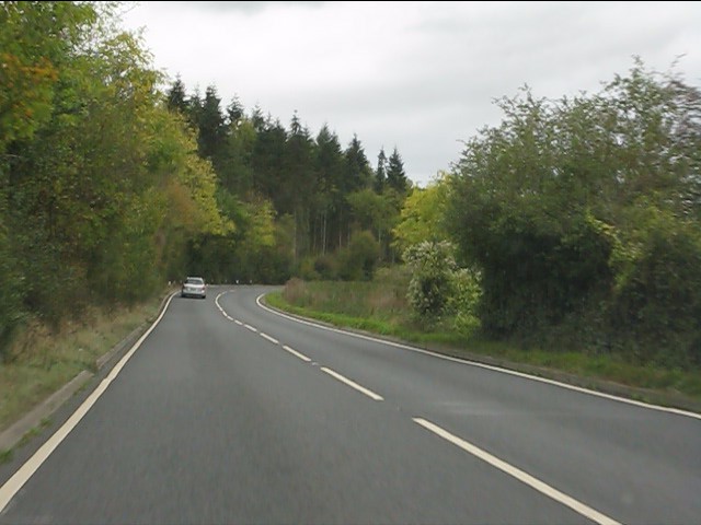
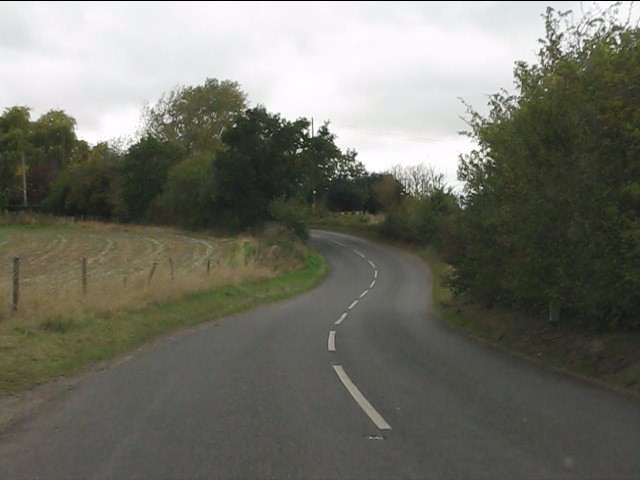
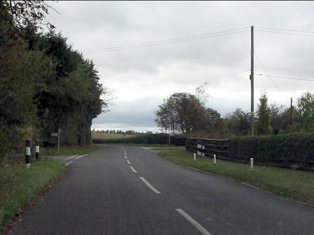
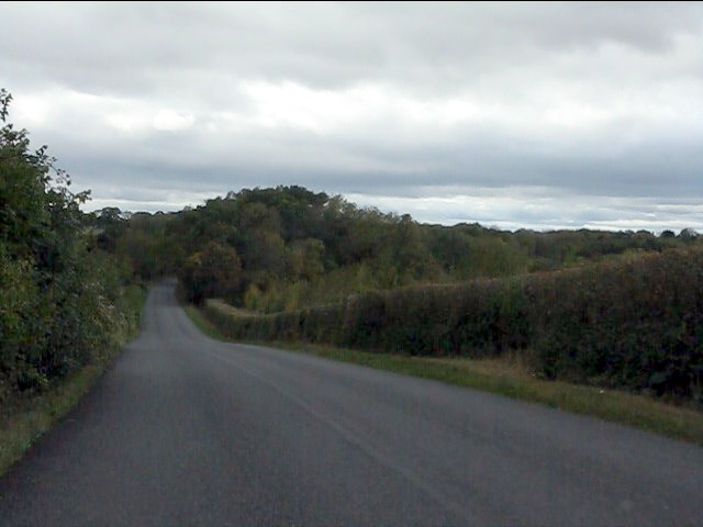
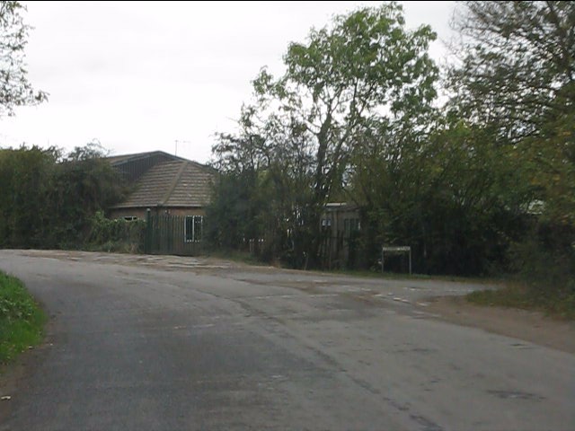
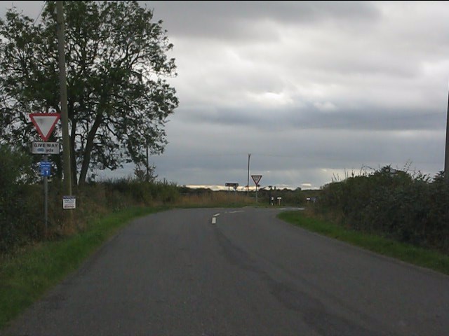
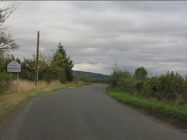
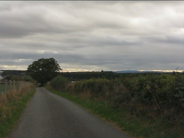
Besford Images

Images are sourced within 2km of 52.105116/-2.1279554 or Grid Reference SO9145. Thanks to Geograph Open Source API. All images are credited.

Path to woodland near Porter's Ashbed Looking north-west to an isolated wood near the Defford airfield. The landowner kindly allows access to this wood and several other private paths nearby. The public footpath ends at the corner of the wood, but a sign there reads "Visitors are permitted to enjoy this space, so long as dogs are kept under control and no wildlife, timber or flora are disturbed. No horse riding or motor vehicles please". I found the area most relaxing and at this time of year there are bluebells flowering in the wood.
Path to woodland near Porter's Ashbed
Looking north-west to an isolated wood near the Defford airfield. The landowner kindly allows access to this wood and several other private paths nearby. The public footpath ends at the corner of the wood, but a sign there reads "Visitors are permitted to enjoy this space, so long as dogs are kept under control and no wildlife, timber or flora are disturbed. No horse riding or motor vehicles please". I found the area most relaxing and at this time of year there are bluebells flowering in the wood.
A4104 leaving Defford
A4104 near Lower Farm The car ahead is hiding the farm entrance.
A4104 near Lower Farm
The car ahead is hiding the farm entrance.
A4104 alongside the River Avon
Winding lane west of Besford Bridge
Ramsden crossroads
Ramsden crossroads
View from the summit west of Ramsden
Crabbe Lane junction
Approaching the crossroads
Ladywood Road enters Besford parish
Harewell Lane, Besford
Radio dish at Besford
Footpath options leave Harewell lane
Houses on Harewell Lane, Besford
Public telephone box, Besford
St. Peter's Lane, Besford
St. Peter's Lane meets Ladywood Road
Ladywood Road approaching Salters Lane junction
Show me another place!

Besford is located at Grid Ref: SO9145 (Lat: 52.105116, Lng: -2.1279554)

Administrative County: Worcestershire

District: Wychavon

Police Authority: West Mercia

What 3 Words

///twists.consoles.blink. Near Pershore, Worcestershire

Nearby Locations

Besford Besford

Related Wikis

Besford

Besford is a village and civil parish in the Wychavon district of Worcestershire, England. According to the 2001 census it had a population of 147. The...

Besford railway station

Besford railway station served the village of Besford, Worcestershire, England, from 1841 to 1846 on the Birmingham and Gloucester Railway. == History... ==

Besford Bridge

Besford Bridge is a village in Worcestershire, England.

RAF Defford

Royal Air Force Defford, or more simply RAF Defford, is a former Royal Air Force station located 1.1 miles (1.8 km) northwest of Defford, Worcestershire...

Ramsden, Worcestershire

Ramsden is a hamlet in the English county of Worcestershire. Ramsden is located due west of the town of Pershore. It lies on the Regional Cycle Route 46...

Tiddesley Wood – the Harry Green Reserve

Tiddesley Wood – the Harry Green Reserve is a nature reserve of the Worcestershire Wildlife Trust. It is situated about 1 mile west of Pershore and 7 miles...

Defford

Defford is a small village in the county of Worcestershire, England, located between the towns of Pershore and Upton-upon-Severn. It was once part of...

Defford railway station

Defford railway station was a station in Defford, Worcestershire, England. The station was opened in 1840 and closed in 1965. == References == == Further... ==

Nearby Amenities

Located within 500m of 52.105116,-2.1279554
Besford
Place: hamlet
Wikidata: Q1981410
Lat/Long: 52.1018855/-2.1312942
Bus Stop
Besford Turn
Bus: yes
Naptan AtcoCode: 2000G064200
Naptan Bearing: NW
Naptan CommonName: Besford Turn
Naptan Crossing: St Peter's Lane
Naptan Indicator: adj
Naptan NaptanCode: wocdjpdj
Naptan Street: Ladywood Road
Public Transport: platform
Source: naptan_import
Lat/Long: 52.1023626/-2.1259505
Bus Stop
Besford Court
Bus: yes
Naptan AtcoCode: 2000G323163
Naptan Bearing: SE
Naptan CommonName: Besford Court
Naptan Indicator: adj
Naptan Landmark: Besford Court
Naptan NaptanCode: wocdawtm
Naptan Street: Ladywood Road
Naptan Verified: no
Public Transport: platform
Source: naptan_import
Lat/Long: 52.1050546/-2.1279223
Bus Stop
Besford Turn
Bus: yes
Naptan AtcoCode: 2000G323164
Naptan Bearing: SE
Naptan CommonName: Besford Turn
Naptan Crossing: St Peter's Lane
Naptan Indicator: opp
Naptan NaptanCode: wocdawtp
Naptan Street: Ladywood Road
Public Transport: platform
Shelter: yes
Source: naptan_import;survey
Lat/Long: 52.1022746/-2.1256113
Bus Stop
Church Farm
Bus: yes
Naptan AtcoCode: 2000G676004
Naptan Bearing: NW
Naptan CommonName: Church Farm
Naptan Indicator: Adj
Naptan Landmark: Chruch Farm
Naptan NaptanCode: wocgadtp
Naptan Street: St Peters Lane
Naptan Verified: no
Public Transport: platform
Source: naptan_import
Lat/Long: 52.101211/-2.1311615
Bus Stop
Besford Court
Bus: yes
Naptan AtcoCode: 2000G676005
Naptan Bearing: NW
Naptan CommonName: Besford Court
Naptan Indicator: Opp
Naptan Landmark: Besford Court
Naptan NaptanCode: wocgadtw
Naptan Street: Ladywood Road
Naptan Verified: no
Public Transport: platform
Source: naptan_import
Lat/Long: 52.1050438/-2.1279904
Turning Circle
Lat/Long: 52.1070357/-2.1295146
Post Box
Collection Times: Mo-Fr 09:00; Sa 07:00
Post Box Mounting: pier
Post Box Type: lamp
Ref: WR8 550D
Royal Cypher: EIIR
Royal Cypher Wikidata: Q33102113
Source: GPS Survey
Lat/Long: 52.1051601/-2.1279186
Barrier: stile
Foot: yes
Lat/Long: 52.1012324/-2.1308984
Barrier: stile
Foot: yes
Lat/Long: 52.1011039/-2.1291167
Post Box
Collection Times: Mo-Fr 14:15; Sa 07:00
Post Box Mounting: wall
Post Box Type: wall
Ref: WR8 131
Royal Cypher: EIIR
Royal Cypher Wikidata: Q33102113
Lat/Long: 52.1013532/-2.1312097
Addr Housename: Harewell
Addr Housenumber: 5
Addr Street: St Peter's Lane
Lat/Long: 52.1028307/-2.1335848
Bycroft House Besford
Power: pole
Transformer: distribution
Voltage Primary: 11000
Lat/Long: 52.1029079/-2.1266484
Besford Court
Power: transformer
Transformer: distribution
Voltage Primary: 11000
Lat/Long: 52.1064574/-2.1263319
Spring Cottage Flowers
Shop: florist
Lat/Long: 52.102844/-2.132148
The data included in this document is from www.openstreetmap.org. The data is made available under ODbL.

Have you been to Besford?

Leave your review of Besford below (or comments, questions and feedback).