Berwick Hill

Settlement in Northumberland

England

Berwick Hill

Country road
Country road Credit: Alex McGregor

Berwick Hill is a small village located in the county of Northumberland, England. Situated approximately 8 miles south of Berwick-upon-Tweed, this rural community is nestled amidst picturesque countryside and offers a peaceful and idyllic setting.

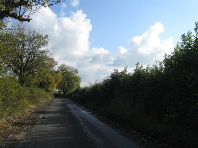
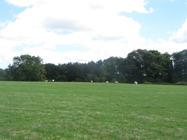
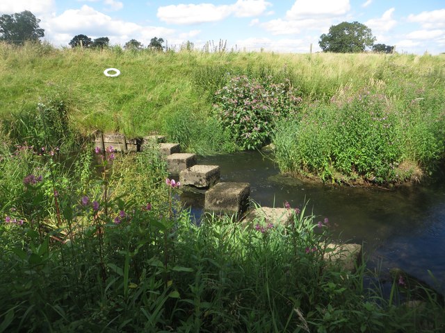
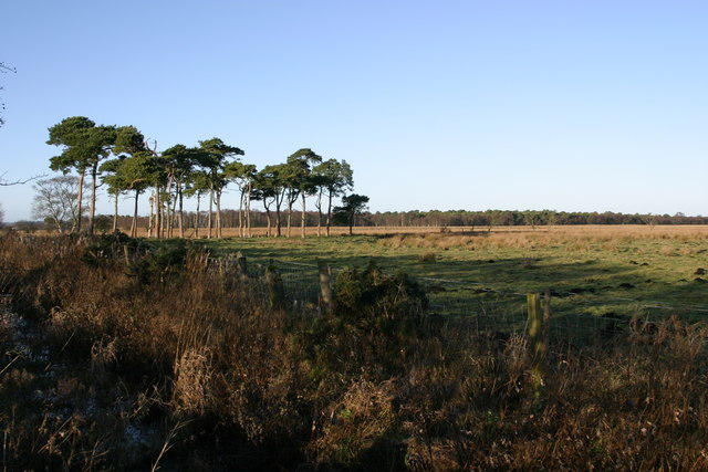
The village is known for its stunning views and natural beauty. Surrounded by rolling hills and lush green fields, it provides a haven for nature lovers and outdoor enthusiasts. The area is rich in wildlife, with an abundance of birds, mammals, and plant species. It is not uncommon to spot deer, hares, and a variety of birdlife while exploring the local trails and pathways.

Despite its small size, Berwick Hill has a close-knit community that takes pride in its heritage. The village is home to a number of historic buildings, including a 17th-century church that adds to its charm. The church, dedicated to St. Andrew, is a prominent feature of the village and serves as a focal point for community events and gatherings.

While Berwick Hill provides a tranquil setting, it also benefits from its proximity to larger towns and cities. Berwick-upon-Tweed, with its rich history and amenities, is just a short drive away, offering residents easy access to a wider range of services, including shops, schools, and healthcare facilities.

Overall, Berwick Hill offers a rural retreat for those seeking a peaceful and picturesque place to call home. Its natural beauty, strong sense of community, and convenient location make it an attractive destination for both residents and visitors alike.

If you have any feedback on the listing, please let us know in the comments section below.
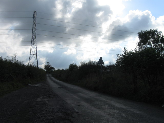
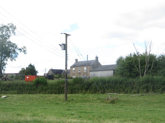
Berwick Hill Images

Images are sourced within 2km of 55.073416/-1.730593 or Grid Reference NZ1775. Thanks to Geograph Open Source API. All images are credited.

Country road
Country road
Country road
Country road
Elland Hall - Prestwick Mill path A path across wetland used by the National Cycle Network.
Elland Hall - Prestwick Mill path
A path across wetland used by the National Cycle Network.
Grassland at South Carter Moor A grass field adjacent to the steading at South Carter Moor. A flock of ewes and lambs were occupying the field.
Grassland at South Carter Moor
A grass field adjacent to the steading at South Carter Moor. A flock of ewes and lambs were occupying the field.
South Carter Moor Looking across a grass paddock towards the buildings at South Carter Moor.
South Carter Moor
Looking across a grass paddock towards the buildings at South Carter Moor.
Looking downstream along the River Pont Looking downstream along the River Pont at Berwick Hill Low House.
Looking downstream along the River Pont
Looking downstream along the River Pont at Berwick Hill Low House.
Stepping stones across the River Pont A line of large blocks of concrete set into the river bed provide a way across the river for pedestrians.
Stepping stones across the River Pont
A line of large blocks of concrete set into the river bed provide a way across the river for pedestrians.
Arable field at Berwick Hill Low House A crop of barley is nearing being ready for harvest on arable land adjacent to Berwick Hill Low House. A public footpath follows the field boundary on the left of the photo.
Arable field at Berwick Hill Low House
A crop of barley is nearing being ready for harvest on arable land adjacent to Berwick Hill Low House. A public footpath follows the field boundary on the left of the photo.
Cultivated arable field at Berwick Hill Low House A cultivated arable field at Berwick Hill Low House. A public footpath follows the edge of field.
Cultivated arable field at Berwick Hill Low House
A cultivated arable field at Berwick Hill Low House. A public footpath follows the edge of field.
Arable land and pylons A line of pylons march across a cultivated arable field close to Berwick Hill Low House.
Arable land and pylons
A line of pylons march across a cultivated arable field close to Berwick Hill Low House.
Public bridleway A public bridleway following the edge of a cultivated arable field.
Public bridleway
A public bridleway following the edge of a cultivated arable field.
Farm track east of Berwick Hill A farm track along the edge of an arable field to the east of Berwick Hill.
Farm track east of Berwick Hill
A farm track along the edge of an arable field to the east of Berwick Hill.
Track towards Prestwick Carr Looking along the farm track which leads to Prestwick Carr. The track is also a restricted byway.
Track towards Prestwick Carr
Looking along the farm track which leads to Prestwick Carr. The track is also a restricted byway.
Arable field east of Berwick Hill An arable field to the east of Berwick Hill.
Arable field east of Berwick Hill
An arable field to the east of Berwick Hill.
Sentry post beside the track At the edge of the shooting range at Ponteland a shelter is provided for a sentry who keeps watch while shooters are active. A sign informs walkers that the sentry will call the range and call a temporary truce in proceedings allowing pedestrians to pass without the risk of being shot. An identical shelter stands at the southern boundary of the range.
Sentry post beside the track
At the edge of the shooting range at Ponteland a shelter is provided for a sentry who keeps watch while shooters are active. A sign informs walkers that the sentry will call the range and call a temporary truce in proceedings allowing pedestrians to pass without the risk of being shot. An identical shelter stands at the southern boundary of the range.
Grassland at Prestwick Carr Flat grassland to the east of Ponteland.
Grassland at Prestwick Carr
Flat grassland to the east of Ponteland.
Farm track on Prestwick Carrs A farm track heading north - south across Prestwick Carrs.
Farm track on Prestwick Carrs
A farm track heading north - south across Prestwick Carrs.
Restricted byway to Eland Hall Farm The restricted byway between Prestwick Carrs and Eland Hall Farm.
Restricted byway to Eland Hall Farm
The restricted byway between Prestwick Carrs and Eland Hall Farm.
Show me another place!

Berwick Hill is located at Grid Ref: NZ1775 (Lat: 55.073416, Lng: -1.730593)

Unitary Authority: Northumberland

Police Authority: Northumbria

What 3 Words

///levels.focus.rotations. Near Ponteland, Northumberland

Related Wikis

Berwick Hill

Berwick Hill is a village and former civil parish, now in the parish of Ponteland, in the county of Northumberland, England. It is situated to the north...

Ponteland Castle

Ponteland Castle is a 13th-century stone tower house just off the A696 road in Ponteland, 8 miles north-west of Newcastle upon Tyne, in Northumberland...

Ponteland railway station

Ponteland was a railway station on the Ponteland Railway, which ran between South Gosforth and Ponteland, with a sub-branch line to Darras Hall. It served...

Kirkley Hall

Kirkley Hall is a 17th-century historic country mansion and Grade II listed building in Northumberland, England. The estate is over 190 acres (0.77 km2...

Castle Ward Rural District

Castle Ward was a rural district of the administrative county of Northumberland, England from 1894 to 1974, covering an area north-west of the city of...

Prestwick Carr

Prestwick Carr is a large area of low-lying wetland on the northern boundary of the city of Newcastle upon Tyne in northeastern England between Dinnington...

Ponteland United F.C.

Ponteland United Football Club is a football club based in Ponteland, Northumberland, England, UK. They are currently members of the Northern Alliance...

Ponteland

Ponteland ( pon-TEE-lənd) is a town and civil parish in Northumberland, England. It is 15 miles (24 km) north of Newcastle upon Tyne. The name means "island...

Nearby Amenities

Located within 500m of 55.073416,-1.730593
Post Box
Post Box Mounting: stone_pillar
Post Box Type: wall
Postal Code: NE20 0JZ
Ref: NE20 154
Royal Cypher: VR
Royal Cypher Wikidata: Q33102356
Lat/Long: 55.0739015/-1.7310948
West End Farm Cottages
Place: hamlet
Lat/Long: 55.0740698/-1.731214
Berwick Hill
Place: hamlet
Wikidata: Q4896001
Lat/Long: 55.0743645/-1.7284558
Berwick Hill
Ele: 88
Natural: peak
Lat/Long: 55.0735617/-1.7292002
The data included in this document is from www.openstreetmap.org. The data is made available under ODbL.

Have you been to Berwick Hill?

Leave your review of Berwick Hill below (or comments, questions and feedback).