Newchurch
Settlement in Herefordshire
England
Newchurch
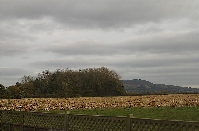
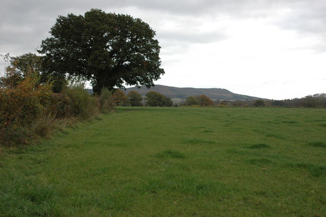
Newchurch is a small village located in the county of Herefordshire, England. Situated in the western part of the county, it lies approximately 5 miles north of the market town of Ross-on-Wye. Known for its picturesque countryside and tranquil atmosphere, Newchurch is a popular destination for those seeking a peaceful retreat.
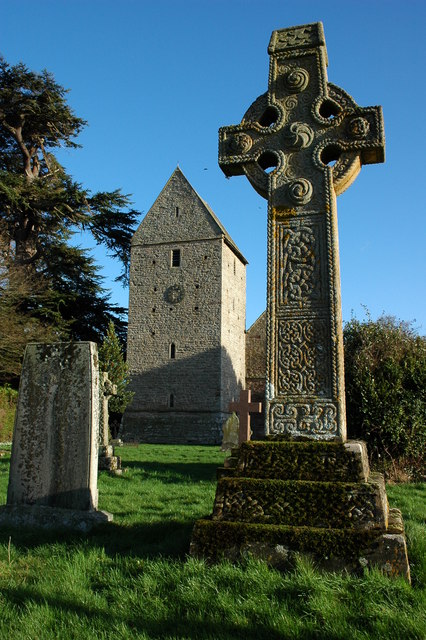
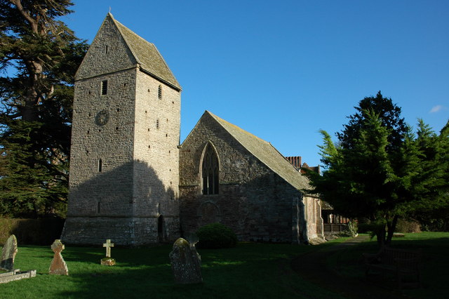
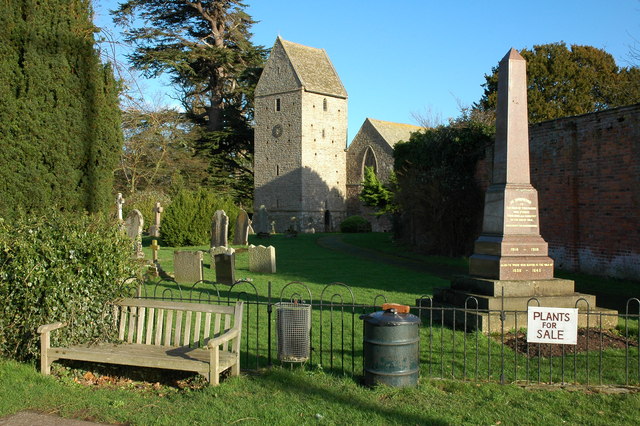
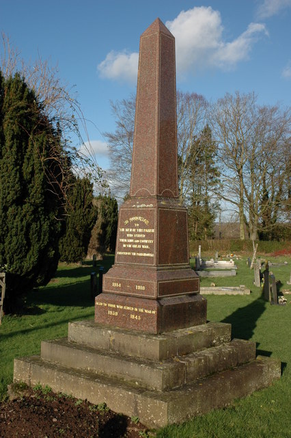
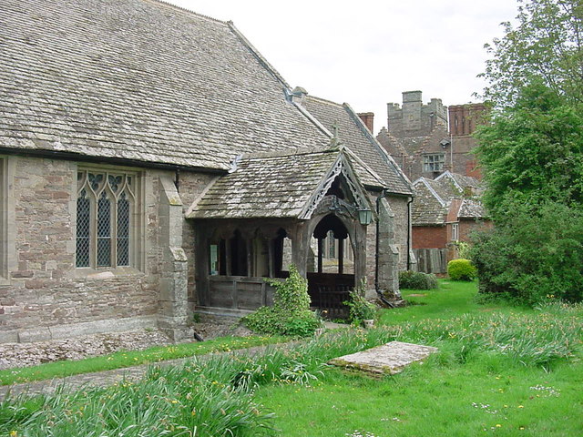
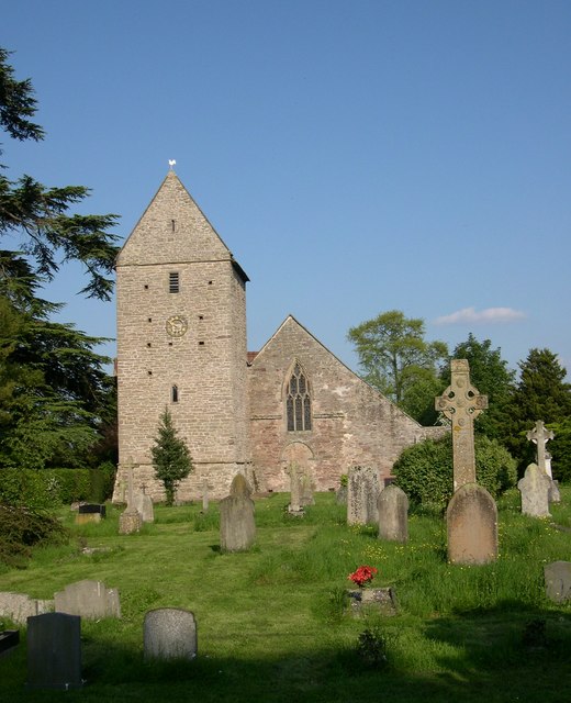
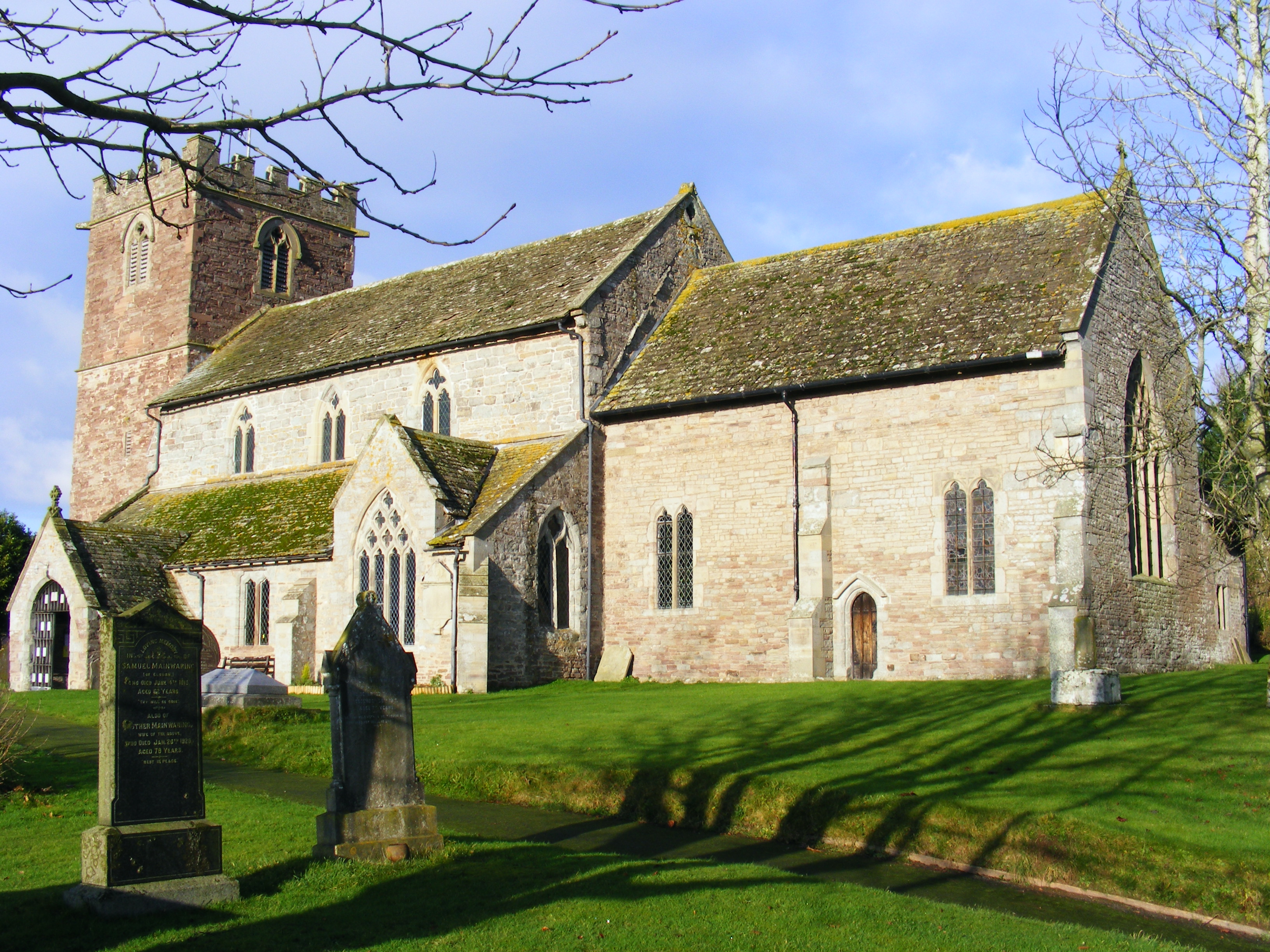
The village is characterized by its traditional architecture, with charming cottages and historic buildings lining its narrow streets. A notable feature is the 12th-century St. Peter's Church, a beautiful example of Norman architecture that has stood as a centerpiece in the village for centuries. The church's tower offers stunning views of the surrounding countryside.
Nature enthusiasts will find plenty to explore in Newchurch and its surrounding area. The village is surrounded by rolling hills and lush green fields, making it an ideal destination for hikers and walkers. Additionally, the nearby River Wye offers opportunities for fishing and boating.
Although a small village, Newchurch is not lacking in amenities. It boasts a village hall, where locals gather for community events and activities, and a small shop that caters to the daily needs of residents and visitors alike. The village also has a welcoming pub, providing a place to relax and enjoy a meal or a drink.
Overall, Newchurch offers a peaceful and idyllic countryside experience, perfect for those looking to escape the hustle and bustle of city life and enjoy the beauty of rural England.
If you have any feedback on the listing, please let us know in the comments section below.
Newchurch Images
Images are sourced within 2km of 52.144448/-2.9512833 or Grid Reference SO3550. Thanks to Geograph Open Source API. All images are credited.


Newchurch is located at Grid Ref: SO3550 (Lat: 52.144448, Lng: -2.9512833)
Unitary Authority: County of Herefordshire
Police Authority: West Mercia
What 3 Words
///slid.huddling.guarded. Near Kinnersley, Herefordshire
Nearby Locations
Related Wikis

Kinnersley Castle
Kinnersley Castle in Herefordshire, England, is one of the many marches castles along the Welsh Borders. The Castle of Kinnersley, on the A4112 3 km (1...

Church of St James, Kinnersley
The Church of St James is a Church of England parish church at Kinnersley in the English county of Herefordshire. It is a Grade I listed building. ��2...
Kinnersley
Kinnersley is a village and civil parish in Herefordshire, England. The village is about 5 miles (8 km) east of the Wales-England border and 10 miles...

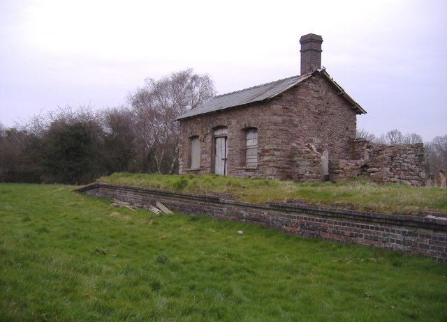
Kinnersley railway station
Kinnersley railway station was a station in Kinnersley, Herefordshire, England. The station was opened in 1863 and closed in 1962. The station was located...
Almeley
Almeley (pronounced ) is a village and civil parish in Herefordshire, England. The civil parish includes the hamlets of Almeley Wooton and Upcott. The...

Sarnesfield
Sarnesfield (National Grid ref. SO374508) is a civil parish and village in Herefordshire, eleven miles north-west of Hereford. == Descent of the manor... ==

Woonton
Woonton is a hamlet which forms part of the parish of Almeley in Herefordshire, England. It is on the A480 road and is near the town of Kington.
Almeley railway station
Almeley railway station was a railway station on the line from Kington to Eardisley in the English county of Herefordshire. == History == Opened on the...
Nearby Amenities
Located within 500m of 52.144448,-2.9512833Have you been to Newchurch?
Leave your review of Newchurch below (or comments, questions and feedback).