Bersham

Settlement in Denbighshire

Wales

Bersham

A525 bridge over A483 west of Wrexham
A525 bridge over A483 west of Wrexham Credit: David Smith

Bersham is a small village located in the county of Denbighshire, Wales. Situated approximately 2 miles south of Wrexham, it lies within the beautiful borderlands between Wales and England. The village is nestled in a picturesque valley, surrounded by rolling hills and lush green countryside.

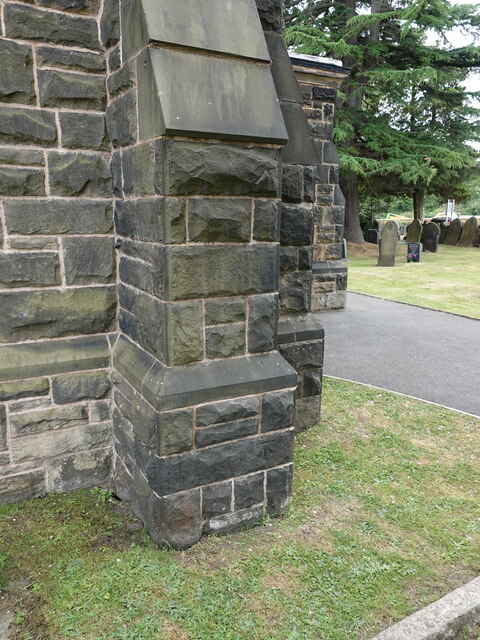
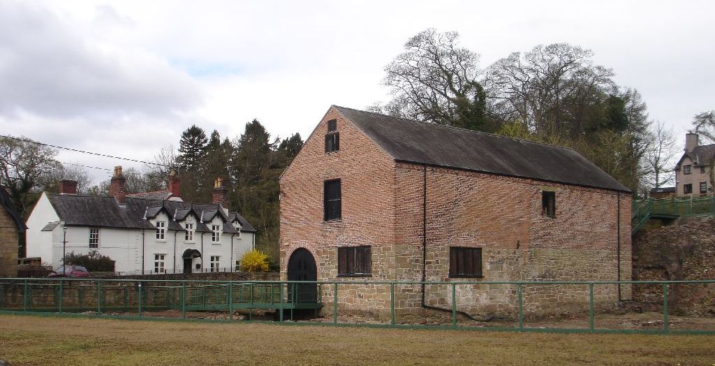
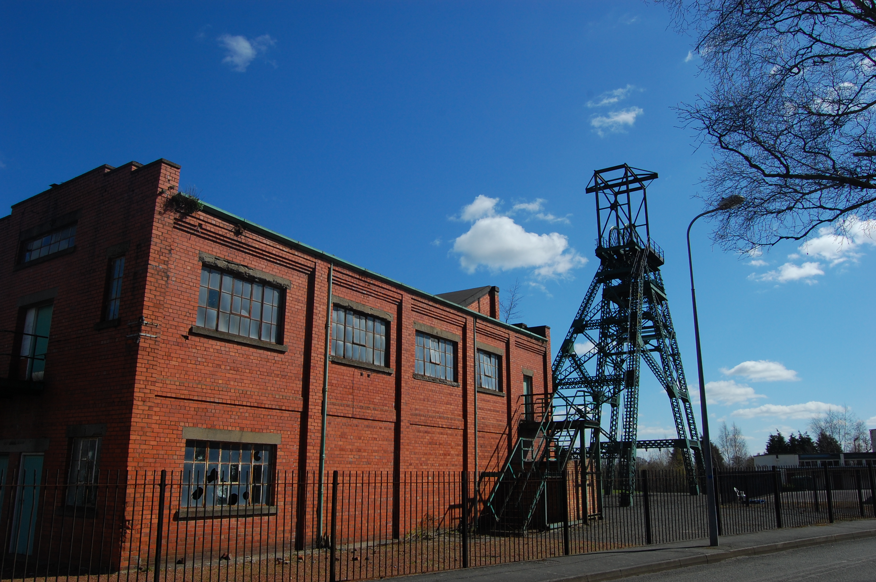
Bersham boasts a rich history, dating back to the medieval period. It was originally a mining community, with coal mining being the primary industry in the area. The Bersham Colliery, once a thriving coal mine, operated from the late 19th century until its closure in 1986. Today, remnants of the mining heritage can still be seen, including the preserved engine house and winding gear, which have been converted into a museum and visitor center.

The village is home to a tight-knit community, with a population of around 2,000 residents. It offers a range of amenities, including a primary school, a village hall, and a pub. The surrounding countryside provides ample opportunities for outdoor activities such as hiking, cycling, and fishing.

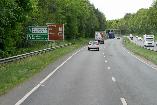
Bersham is well-connected to the nearby town of Wrexham, with regular bus services and good road links. It also benefits from its proximity to the Wrexham Industrial Estate, one of the largest industrial estates in Europe, providing employment opportunities for the local residents.

Overall, Bersham is a charming village that combines a rich industrial history with stunning natural surroundings. It offers a peaceful and idyllic lifestyle, making it an attractive place to live for those seeking a close-knit community and a rural setting.

If you have any feedback on the listing, please let us know in the comments section below.
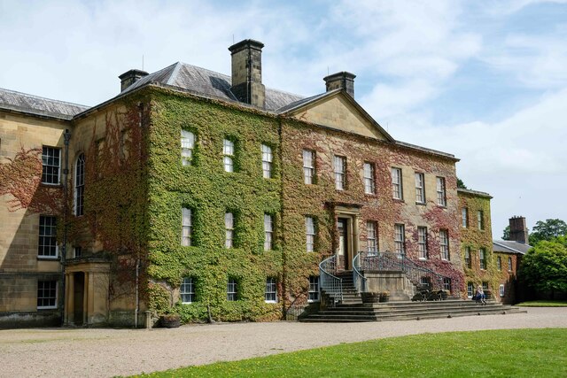
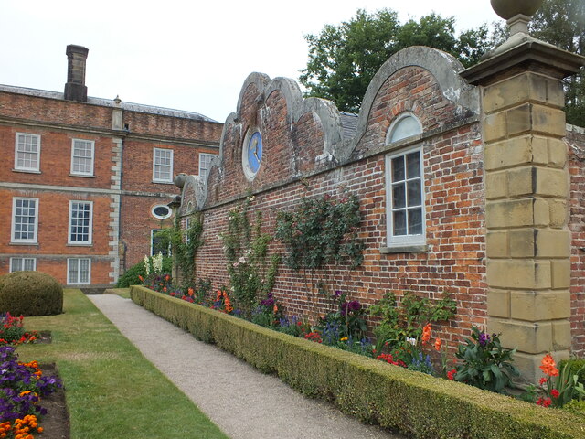
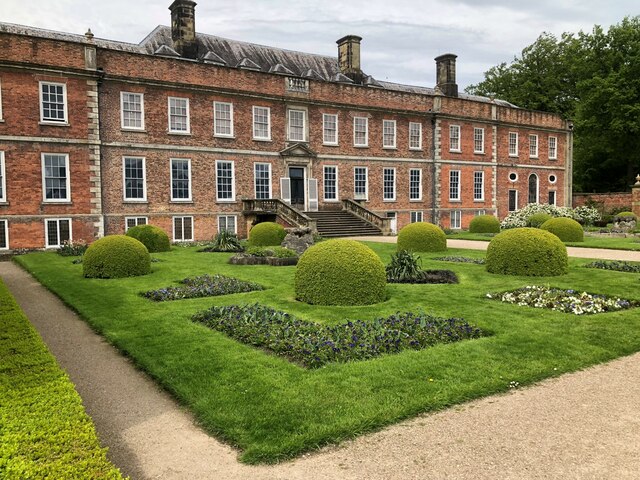
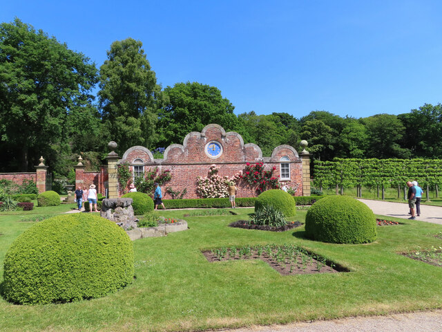
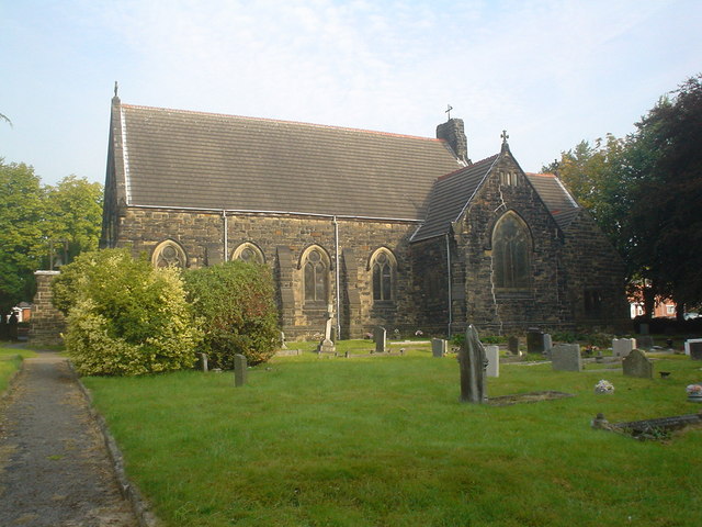
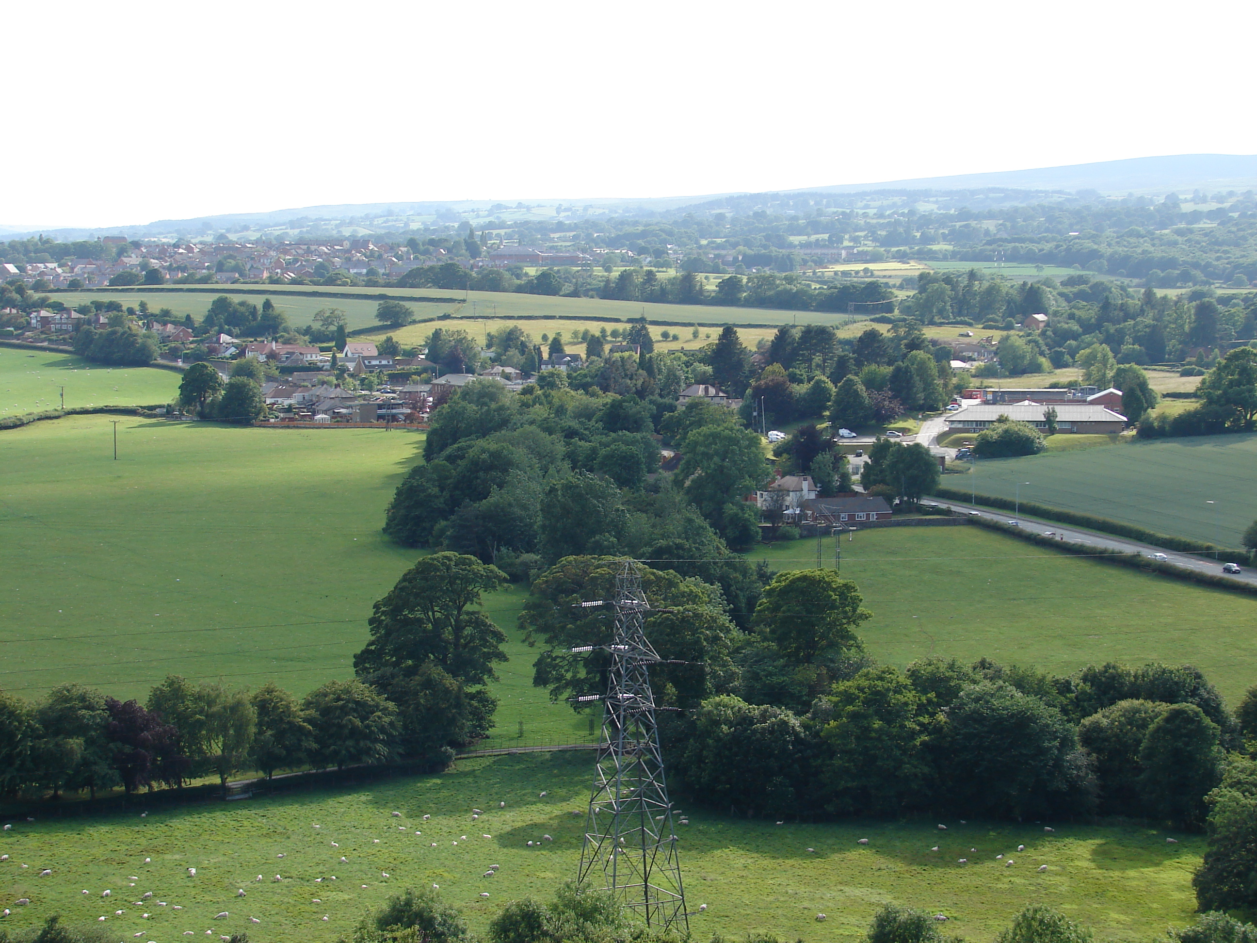
Bersham Images

Images are sourced within 2km of 53.034308/-3.03342 or Grid Reference SJ3049. Thanks to Geograph Open Source API. All images are credited.

A525 bridge over A483 west of Wrexham
Erddig Hall Erddig Hall was designed in 1683 by Thomas Webb and was handed over to the National Trust in 1973. In 2003 it was voted by readers of the Radio Times and viewers of the Channel 5 television series "Britain's Finest Stately Homes" as "Britain's second finest".

Wikipedia <span class="nowrap"><a title="https://en.wikipedia.org/wiki/Erddig" rel="nofollow ugc noopener" href="https://en.wikipedia.org/wiki/Erddig">Link</a><img style="margin-left:2px;" alt="External link" title="External link - shift click to open in new window" src="https://s1.geograph.org.uk/img/external.png" width="10" height="10"/></span>
Erddig Hall
Erddig Hall was designed in 1683 by Thomas Webb and was handed over to the National Trust in 1973. In 2003 it was voted by readers of the Radio Times and viewers of the Channel 5 television series "Britain's Finest Stately Homes" as "Britain's second finest". Wikipedia LinkExternal link
B5097 near Bersham
B5097 near Bersham
Erddig Hall, Wrexham Gable wall and flower beds
Erddig Hall, Wrexham
Gable wall and flower beds
Lay-by on the A483 near Wrexham
St Mary's Church, Bersham
Weir on the River Clywedog
Erddig Hall Grade I listed country house in the care of the National Trust.

Wikipedia info: <span class="nowrap"><a title="https://en.wikipedia.org/wiki/Erddig" rel="nofollow ugc noopener" href="https://en.wikipedia.org/wiki/Erddig">Link</a><img style="margin-left:2px;" alt="External link" title="External link - shift click to open in new window" src="https://s1.geograph.org.uk/img/external.png" width="10" height="10"/></span>
Erddig Hall
Grade I listed country house in the care of the National Trust. Wikipedia info: LinkExternal link
Erddig, decorative garden wall and clock This is the garden immediately in front of the huge house at Erddig, a National Trust property.
Erddig, decorative garden wall and clock
This is the garden immediately in front of the huge house at Erddig, a National Trust property.
A483 near Rhostyllen The A483 is a major north-south trunk road in Wales, running for 149 miles between Chester and Junction 42 of the M4 motorway just east of Swansea.
<span class="nowrap"><a title="http://www.sabre-roads.org.uk/wiki/index.php?title=A483" rel="nofollow ugc noopener" href="http://www.sabre-roads.org.uk/wiki/index.php?title=A483">Link</a><img style="margin-left:2px;" alt="External link" title="External link - shift click to open in new window" src="https://s1.geograph.org.uk/img/external.png" width="10" height="10"/></span>  SABRE
<span class="nowrap"><a title="https://en.wikipedia.org/wiki/A483_road" rel="nofollow ugc noopener" href="https://en.wikipedia.org/wiki/A483_road">Link</a><img style="margin-left:2px;" alt="External link" title="External link - shift click to open in new window" src="https://s1.geograph.org.uk/img/external.png" width="10" height="10"/></span>  Wikipedia
A483 near Rhostyllen
The A483 is a major north-south trunk road in Wales, running for 149 miles between Chester and Junction 42 of the M4 motorway just east of Swansea. LinkExternal link SABRE LinkExternal link Wikipedia
A483 near Bersham The A483 is a major north-south trunk road in Wales, running for 149 miles between Chester and Junction 42 of the M4 motorway just east of Swansea.
<span class="nowrap"><a title="http://www.sabre-roads.org.uk/wiki/index.php?title=A483" rel="nofollow ugc noopener" href="http://www.sabre-roads.org.uk/wiki/index.php?title=A483">Link</a><img style="margin-left:2px;" alt="External link" title="External link - shift click to open in new window" src="https://s1.geograph.org.uk/img/external.png" width="10" height="10"/></span>  SABRE
<span class="nowrap"><a title="https://en.wikipedia.org/wiki/A483_road" rel="nofollow ugc noopener" href="https://en.wikipedia.org/wiki/A483_road">Link</a><img style="margin-left:2px;" alt="External link" title="External link - shift click to open in new window" src="https://s1.geograph.org.uk/img/external.png" width="10" height="10"/></span>  Wikipedia
A483 near Bersham
The A483 is a major north-south trunk road in Wales, running for 149 miles between Chester and Junction 42 of the M4 motorway just east of Swansea. LinkExternal link SABRE LinkExternal link Wikipedia
Bridge over the A483 near Rhostyllen The A483 is a major north-south trunk road in Wales, running for 149 miles between Chester and Junction 42 of the M4 motorway just east of Swansea.
<span class="nowrap"><a title="http://www.sabre-roads.org.uk/wiki/index.php?title=A483" rel="nofollow ugc noopener" href="http://www.sabre-roads.org.uk/wiki/index.php?title=A483">Link</a><img style="margin-left:2px;" alt="External link" title="External link - shift click to open in new window" src="https://s1.geograph.org.uk/img/external.png" width="10" height="10"/></span>  SABRE
<span class="nowrap"><a title="https://en.wikipedia.org/wiki/A483_road" rel="nofollow ugc noopener" href="https://en.wikipedia.org/wiki/A483_road">Link</a><img style="margin-left:2px;" alt="External link" title="External link - shift click to open in new window" src="https://s1.geograph.org.uk/img/external.png" width="10" height="10"/></span>  Wikipedia
Bridge over the A483 near Rhostyllen
The A483 is a major north-south trunk road in Wales, running for 149 miles between Chester and Junction 42 of the M4 motorway just east of Swansea. LinkExternal link SABRE LinkExternal link Wikipedia
Northbound A483 near Rhostyllen The A483 is a major north-south trunk road in Wales, running for 149 miles between Chester and Junction 42 of the M4 motorway just east of Swansea.
<span class="nowrap"><a title="http://www.sabre-roads.org.uk/wiki/index.php?title=A483" rel="nofollow ugc noopener" href="http://www.sabre-roads.org.uk/wiki/index.php?title=A483">Link</a><img style="margin-left:2px;" alt="External link" title="External link - shift click to open in new window" src="https://s1.geograph.org.uk/img/external.png" width="10" height="10"/></span>  SABRE
<span class="nowrap"><a title="https://en.wikipedia.org/wiki/A483_road" rel="nofollow ugc noopener" href="https://en.wikipedia.org/wiki/A483_road">Link</a><img style="margin-left:2px;" alt="External link" title="External link - shift click to open in new window" src="https://s1.geograph.org.uk/img/external.png" width="10" height="10"/></span>  Wikipedia
Northbound A483 near Rhostyllen
The A483 is a major north-south trunk road in Wales, running for 149 miles between Chester and Junction 42 of the M4 motorway just east of Swansea. LinkExternal link SABRE LinkExternal link Wikipedia
Benchmark on Holy Trinity church, Rhostyllen Ordnance Survey benchmark on the north west corner buttress of Holy Trinity church alongside Wrexham Road, Rhostyllen. Levelled at 100.279m above Newlyn Datum, verified 1960. For a wider view see <a href="https://www.geograph.org.uk/photo/7524279">SJ3148 : North west corner of Holy Trinity church, Rhostyllen</a>              
Benchmark database <span class="nowrap"><a title="https://www.bench-marks.org.uk/bm195750" rel="nofollow ugc noopener" href="https://www.bench-marks.org.uk/bm195750">Link</a><img style="margin-left:2px;" alt="External link" title="External link - shift click to open in new window" src="https://s1.geograph.org.uk/img/external.png" width="10" height="10"/></span>
Benchmark on Holy Trinity church, Rhostyllen
Ordnance Survey benchmark on the north west corner buttress of Holy Trinity church alongside Wrexham Road, Rhostyllen. Levelled at 100.279m above Newlyn Datum, verified 1960. For a wider view see SJ3148 : North west corner of Holy Trinity church, Rhostyllen Benchmark database LinkExternal link
North west corner of Holy Trinity church, Rhostyllen The buttress at the north west corner of Holy Trinity church has an Ordnance Survey benchmark <a href="https://www.geograph.org.uk/photo/7524274">SJ3148 : Benchmark on Holy Trinity church, Rhostyllen</a>
North west corner of Holy Trinity church, Rhostyllen
The buttress at the north west corner of Holy Trinity church has an Ordnance Survey benchmark SJ3148 : Benchmark on Holy Trinity church, Rhostyllen
Holy Trinity church, Wrexham Road, Rhostyllen The foundation stone of the Holy Trinity church was laid on the 24th October 1876, and it was consecrated on the 12th September 1877.
Holy Trinity church, Wrexham Road, Rhostyllen
The foundation stone of the Holy Trinity church was laid on the 24th October 1876, and it was consecrated on the 12th September 1877.
Rivet benchmark on Wrexham Road railway bridge, Rhostyllen Ordnance Survey rivet benchmark on Wrexham Road railway bridge, Rhostyllen. The bridge is actually a short tunnel, which is at an oblique angle to the road, and is not immediately obvious when driving over it. The benchmark was levelled at 96.774m above Newlyn Datum, verified 1960. For a wider view see <a href="https://www.geograph.org.uk/photo/7524638">SJ3249 : Railway line between Wrexham and Ruabon</a> and <a href="https://www.geograph.org.uk/photo/7524656">SJ3249 : Bridge/tunnel portal at Rhostyllen</a>

Benchmark database: <span class="nowrap"><a title="https://www.bench-marks.org.uk/bm195754" rel="nofollow ugc noopener" href="https://www.bench-marks.org.uk/bm195754">Link</a><img style="margin-left:2px;" alt="External link" title="External link - shift click to open in new window" src="https://s1.geograph.org.uk/img/external.png" width="10" height="10"/></span>
Rivet benchmark on Wrexham Road railway bridge, Rhostyllen
Ordnance Survey rivet benchmark on Wrexham Road railway bridge, Rhostyllen. The bridge is actually a short tunnel, which is at an oblique angle to the road, and is not immediately obvious when driving over it. The benchmark was levelled at 96.774m above Newlyn Datum, verified 1960. For a wider view see SJ3249 : Railway line between Wrexham and Ruabon and SJ3249 : Bridge/tunnel portal at Rhostyllen Benchmark database: LinkExternal link
Railway line between Wrexham and Ruabon The railway line between Wrexham and Ruabon passes under Wrexham Road at Rhostyllen. As the railway runs in a cutting the very low parapet of the bridge/tunnel is protected by modern railings, as seen in the photo. There is an Ordnance Survey rivet benchmark on top of the stone parapet <a href="https://www.geograph.org.uk/photo/7524594">SJ3249 : Rivet benchmark on Wrexham Road railway bridge, Rhostyllen</a>
Railway line between Wrexham and Ruabon
The railway line between Wrexham and Ruabon passes under Wrexham Road at Rhostyllen. As the railway runs in a cutting the very low parapet of the bridge/tunnel is protected by modern railings, as seen in the photo. There is an Ordnance Survey rivet benchmark on top of the stone parapet SJ3249 : Rivet benchmark on Wrexham Road railway bridge, Rhostyllen
Show me another place!

Bersham is located at Grid Ref: SJ3049 (Lat: 53.034308, Lng: -3.03342)

Unitary Authority: Wrexham

Police Authority: North Wales

Also known as: Bers, Y Bers

What 3 Words

///appealed.radiated.expiring. Near Coedpoeth, Wrexham

Related Wikis

Bersham

Bersham (Welsh: Y Bers; standardised: Bers) is a village in Wrexham County Borough, Wales, that lies next to the River Clywedog, and is in the community...

Rhostyllen F.C.

Rhostyllen Football Club is a Welsh football club from Rhostyllen in Wrexham County Borough. The club was founded in 2015 and they currently play in the...

Bersham Ironworks

Bersham Ironworks were large ironworks at Bersham, near Wrexham, Wales. They are most famous for being the original working site of John Wilkinson. They...

Rhostyllen railway station

Rhostyllen (pronounced [r̥ɔsˈtəɬən], Ross-tuth-l'n) was a minor railway station of the Great Western Railway, located on the Rhos Branch just off the Shrewsbury...

Clywedog Trail

The Clywedog Trail is a 9-mile (14 km) footpath close to Wrexham in Wales. Starting at the Minera Lead Mines (53.0512°N 3.0811°W / 53.0512; -3.0811...

Bersham Colliery

Bersham Colliery was a large coal mine located near Rhostyllen in Wrexham County Borough, Wales. The mine accessed seams found in the Denbighshire Coalfield...

Rhostyllen

Rhostyllen () is a village in Wrexham County Borough, Wales, south-west of the city of Wrexham. At the time of the 2001 census, area Wrexham 014A, which...

Pentre Bychan

Pentre Bychan (lit. 'little village') is a semi-rural hamlet in Wrexham County Borough, Wales. Variously spelled as either one word or two (Pentre Bychan...

Nearby Amenities

Located within 500m of 53.034308,-3.03342
BERSHAM2
Disused: yes
Man Made: petroleum_well
Ref GB Decc: L110/30-3
Source: DECC
Lat/Long: 53.0330414/-3.0376328
BERSHAM1
Disused: yes
Man Made: petroleum_well
Ref GB Decc: L110/30-2
Source: DECC
Lat/Long: 53.0329964/-3.0376317
Bersham
Alt Name Cy: Y Bers
Name Cy: Bers
Name En: Bersham
Place: village
Wikidata: Q4894927
Wikipedia: en:Bersham
Lat/Long: 53.0350953/-3.033239
Pub
The Black Lion Inn
Lat/Long: 53.0355991/-3.0264384
Post Box
Collection Times: Mo-Fr 09:00, Sa 07:00
Ref: LL14 103D
Lat/Long: 53.0357555/-3.0265403
Barrier: bollard
Bicycle: yes
Foot: yes
Lat/Long: 53.0342081/-3.0260873
Noexit: yes
Lat/Long: 53.0336052/-3.0303819
Post Box
Collection Times: Mo-Sa 16:15
Ref: LL14 131
Lat/Long: 53.0327474/-3.0311508
Place Of Worship
Tabernacle Chapel
Denomination: presbyterian
Religion: christian
Lat/Long: 53.0321932/-3.0274317
Grit Bin
Lat/Long: 53.035588/-3.035274
Barrier: bollard
Lat/Long: 53.0325093/-3.0267338
Rhostyllen
Abandoned Railway: station
Railway: site
Wikidata: Q7321504
Wikipedia: en:Rhostyllen railway station
Lat/Long: 53.0337257/-3.0263454
Power: pole
Lat/Long: 53.0339439/-3.0402074
Power: pole
Lat/Long: 53.0339992/-3.0384732
Power: pole
Lat/Long: 53.034029/-3.0373265
Power: pole
Lat/Long: 53.034078/-3.0357657
Power: pole
Lat/Long: 53.034012/-3.034573
Power: pole
Lat/Long: 53.0339205/-3.0328812
Power: pole
Lat/Long: 53.0338596/-3.0319319
Material: wood
Power: pole
Lat/Long: 53.0338104/-3.0312591
Power: pole
Lat/Long: 53.0312969/-3.0382079
Power: pole
Lat/Long: 53.0308711/-3.0369849
Power: pole
Lat/Long: 53.0302597/-3.0351422
Direction: SSE
Generator Method: photovoltaic
Generator Output Electricity: yes
Generator Solar Modules: 16
Generator Source: solar
Generator Type: solar_photovoltaic_panel
Location: roof
Power: generator
Lat/Long: 53.0330047/-3.0279672
Direction: 95
Generator Method: photovoltaic
Generator Output Electricity: yes
Generator Solar Modules: 18
Generator Source: solar
Generator Type: solar_photovoltaic_panel
Location: roof
Power: generator
Lat/Long: 53.0332234/-3.0293361
Direction: SSE
Generator Method: photovoltaic
Generator Output Electricity: yes
Generator Solar Modules: 16
Generator Source: solar
Generator Type: solar_photovoltaic_panel
Location: roof
Power: generator
Lat/Long: 53.0308981/-3.0291319
Barrier: yes
Lat/Long: 53.030956/-3.029676
Direction: SE
Generator Method: photovoltaic
Generator Output Electricity: yes
Generator Solar Modules: 11
Generator Source: solar
Generator Type: solar_photovoltaic_panel
Location: roof
Power: generator
Lat/Long: 53.0322595/-3.0267656
The data included in this document is from www.openstreetmap.org. The data is made available under ODbL.

Have you been to Bersham?

Leave your review of Bersham below (or comments, questions and feedback).