New Zealand

Settlement in Wiltshire

England

New Zealand

2011 : At the top of the hill, Catcombe Looking south west to Spirthill Farm.
The more distant view is toward Chippenham.
2011 : At the top of the hill, Catcombe Credit: Maurice Pullin

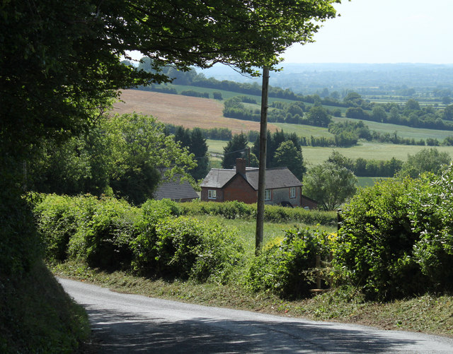
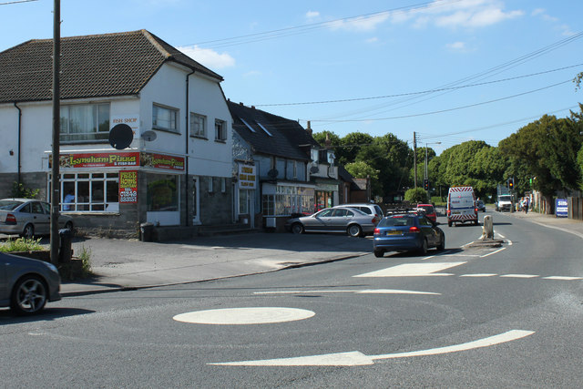
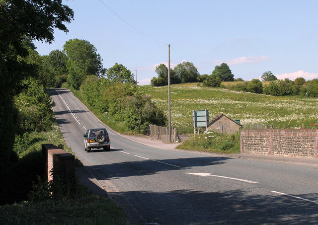
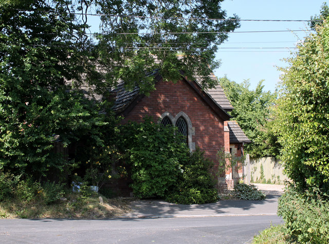
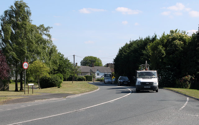
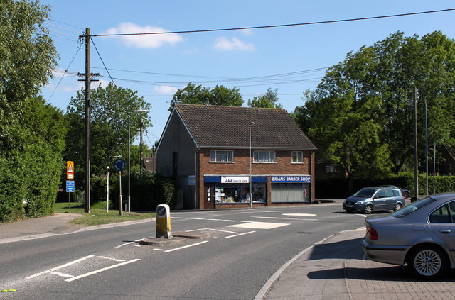
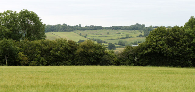
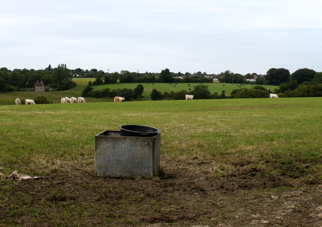
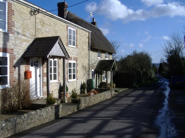
New Zealand is a small village located in the county of Wiltshire, England. It is situated near the town of Swindon and is surrounded by picturesque countryside. The village is known for its charming cottages, traditional pubs, and friendly community atmosphere.

New Zealand is a popular destination for visitors looking to experience the quintessential English village lifestyle. The village is home to a number of historic buildings, including the St. Mary's Church which dates back to the 13th century. Visitors can also explore the nearby countryside, which offers plenty of opportunities for hiking, cycling, and wildlife spotting.

In addition to its natural beauty, New Zealand is also known for its thriving local economy. The village is home to a number of small businesses, including shops, cafes, and artisanal producers. Residents and visitors alike can enjoy a range of amenities, including a village hall, sports clubs, and a primary school.

Overall, New Zealand, Wiltshire is a charming village that offers a peaceful and idyllic setting for those looking to escape the hustle and bustle of city life.

If you have any feedback on the listing, please let us know in the comments section below.
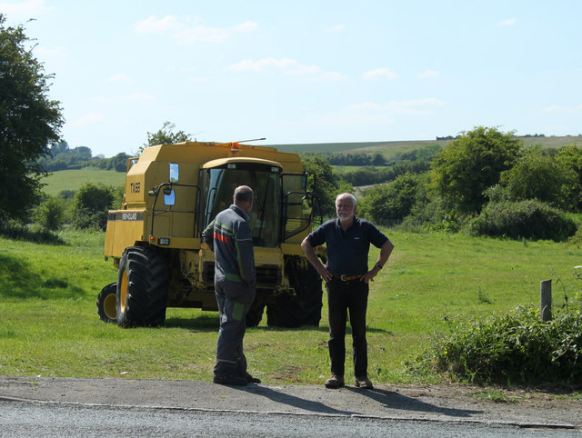
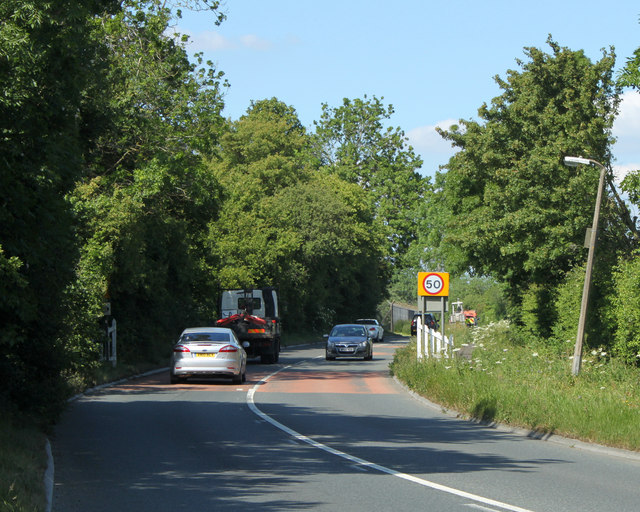
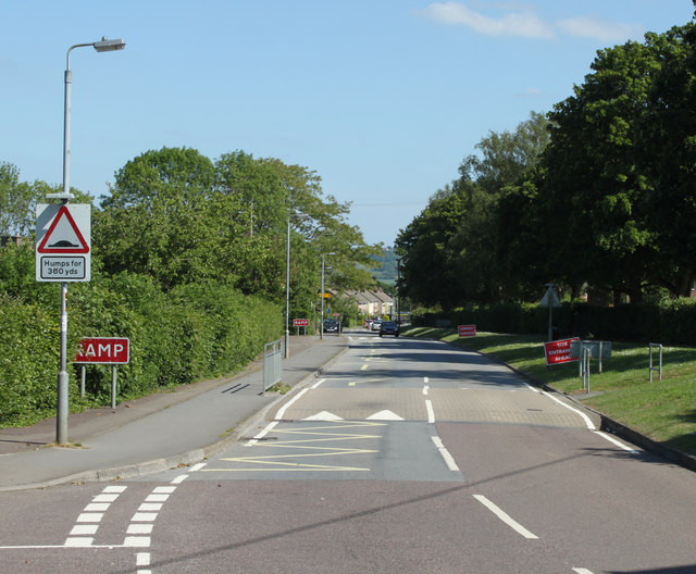
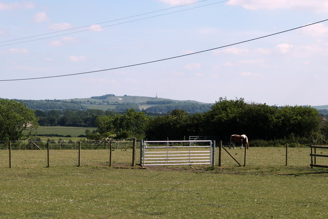
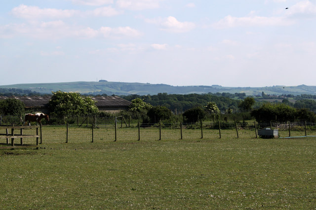
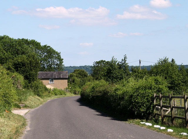
New Zealand Images

Images are sourced within 2km of 51.49702/-1.986283 or Grid Reference SU0177. Thanks to Geograph Open Source API. All images are credited.

2011 : At the top of the hill, Catcombe Looking south west to Spirthill Farm.
The more distant view is toward Chippenham.
2011 : At the top of the hill, Catcombe
Looking south west to Spirthill Farm. The more distant view is toward Chippenham.
2011 : Road surfacing machine parked in a field With crew.
One of three such machines parked in the vicinity waiting for orders.
This is a New Holland, the smallest of the three.
2011 : Road surfacing machine parked in a field
With crew. One of three such machines parked in the vicinity waiting for orders. This is a New Holland, the smallest of the three.
2011 : A3102 leaving Goatacre Heading north for Lyneham, about one mile away.
2011 : A3102 leaving Goatacre
Heading north for Lyneham, about one mile away.
2011 : Preston Lane, Lyneham The road to Preston, Bushton and Clyffe Pypard.
2011 : Preston Lane, Lyneham
The road to Preston, Bushton and Clyffe Pypard.
2011 : A3102 Calne Road, Lyneham Mini roundabout at the junction with Preston Road and shops.
<a href="https://www.geograph.org.uk/photo/301305">SU0278 : Takeaway options at Lyneham</a> shows the same scene in December 2006.
2011 : A3102 Calne Road, Lyneham
Mini roundabout at the junction with Preston Road and shops. SU0278 : Takeaway options at Lyneham shows the same scene in December 2006.
2011 : On Beacon Hill, near Catcomb Farm The Cherhill White Horse can be seen in <a href="https://www.geograph.org.uk/gridref/SU0469">SU0469</a> along with the Cherhill Monument.
2011 : On Beacon Hill, near Catcomb Farm
The Cherhill White Horse can be seen in SU0469 along with the Cherhill Monument.
2011 : South east on Beacon Hill From the same spot as <a href="https://www.geograph.org.uk/photo/2452234">SU0176 : 2011 : On Beacon Hill, near Catcomb Farm</a> looking a little to the left in the direction of Beacon Hill Farm.
2011 : South east on Beacon Hill
From the same spot as SU0176 : 2011 : On Beacon Hill, near Catcomb Farm looking a little to the left in the direction of Beacon Hill Farm.
2011 : Lane on Beacon Hill Near Catcombe heading toward Beacon Hill Farm.
2011 : Lane on Beacon Hill
Near Catcombe heading toward Beacon Hill Farm.
2011 : A3102 between Hilmarton and Goatacre Heading north toward Lyneham and Wootton Bassett.
2011 : A3102 between Hilmarton and Goatacre
Heading north toward Lyneham and Wootton Bassett.
2011 : Chapel in the trees on the road to New Zealand Seen from Quakers Walk, Goatacre.
The A3102 passes a few yards to the right.
2011 : Chapel in the trees on the road to New Zealand
Seen from Quakers Walk, Goatacre. The A3102 passes a few yards to the right.
2011 : A3102 at Goatacre Heading south to Hilmarton and Calne.
2011 : A3102 at Goatacre
Heading south to Hilmarton and Calne.
2011 : A3102 Calne Road, Lyneham Mini roundabout at Church End, Preston Lane leaves the roundabout to the left.
The Ark Charity Shop and Brians Barber Shop are on the far corner.
2011 : A3102 Calne Road, Lyneham
Mini roundabout at Church End, Preston Lane leaves the roundabout to the left. The Ark Charity Shop and Brians Barber Shop are on the far corner.
2011 : North near Spillman's Farm Over a field of mowing grass about ready for cutting.
2011 : North near Spillman's Farm
Over a field of mowing grass about ready for cutting.
2011 : Cattle pasture near Spillman's Farm Looking north toward Goatacre.
2011 : Cattle pasture near Spillman's Farm
Looking north toward Goatacre.
Lyneham, Wiltshire Sign on the B4069. As can be seen by the other sign, the C-130 Hercules aircraft flew over the road near here on approach to RAF Lyneham before they moved to RAF Brize Norton
Lyneham, Wiltshire
Sign on the B4069. As can be seen by the other sign, the C-130 Hercules aircraft flew over the road near here on approach to RAF Lyneham before they moved to RAF Brize Norton
The Mallard
The Mallard
A3102 to the east of Lynham Airfield Evidence of the RAF Transport Command airfield is the presence of security fencing.
A3102 to the east of Lynham Airfield
Evidence of the RAF Transport Command airfield is the presence of security fencing.
A3102 enters Goatacre
Show me another place!

New Zealand is located at Grid Ref: SU0177 (Lat: 51.49702, Lng: -1.986283)

Unitary Authority: Wiltshire

Police Authority: Wiltshire

What 3 Words

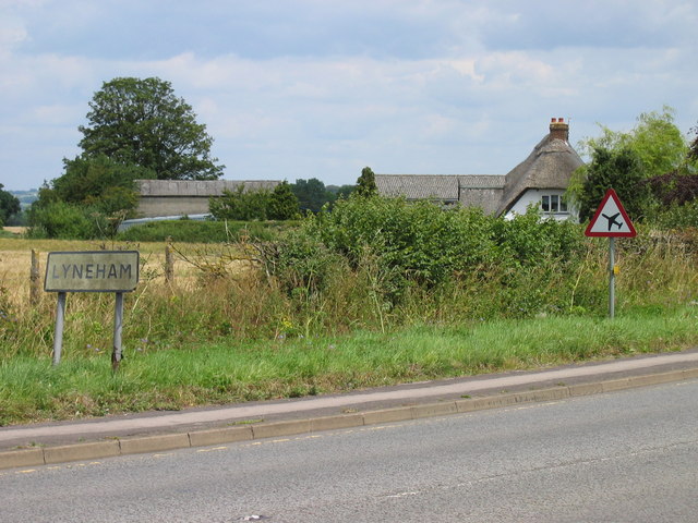
///unrealistic.going.converter. Near Lyneham, Wiltshire

Nearby Locations

New Zealand Zealand, New

Related Wikis

New Zealand, Wiltshire

New Zealand is a hamlet in the civil parish of Hilmarton in Wiltshire, England. Nearby villages are Goatacre, Hilmarton and Lyneham; the nearest town is...

RAF Lyneham

Royal Air Force Lyneham otherwise known as RAF Lyneham (IATA: LYE, ICAO: EGDL) was a Royal Air Force station located 6.3 miles (10.1 km) northeast of Chippenham...

MOD Lyneham

Ministry of Defence Lyneham or MOD Lyneham is a Ministry of Defence site in Wiltshire, England, about 7 miles (11 km) north-east of Chippenham and 10 miles...

Goatacre

Goatacre is a village in the English county of Wiltshire, about 4 miles (6 km) north of Calne and 1 mile (1.6 km) south of Lyneham on the A3102 road. It...

Nearby Amenities

Located within 500m of 51.49702,-1.986283
Post Box
Collection Times: Mo-Fr 09:00; Sa 07:00
Operator: Royal Mail
Operator Wikidata: Q638098
Post Box Type: lamp
Ref: SN11 120D
Royal Cypher: EIIR
Lat/Long: 51.497507/-1.9850679
New Zealand
Created By: Potlatch 0.10f
Place: hamlet
Wikidata: Q7015177
Lat/Long: 51.497232/-1.9838755
The data included in this document is from www.openstreetmap.org. The data is made available under ODbL.

Have you been to New Zealand?

Leave your review of New Zealand below (or comments, questions and feedback).