Berry Hill

Settlement in Worcestershire Wychavon

England

Berry Hill

Narrow boat on the Droitwich Junction Canal The grating on the towpath is where water is taken from the canal and transferred via pipes under the towpath to where the canal begins again. This is because the re-builders of the canal did not want to pollute the River Salwarpe.
Narrow boat on the Droitwich Junction Canal Credit: Jeff Gogarty

Berry Hill is a small village located in the county of Worcestershire, England. Situated near the city of Redditch, it lies within the district of Bromsgrove. With a population of approximately 1,000 residents, the village has a close-knit community feel.

The village is characterized by its picturesque surroundings, nestled in the beautiful Worcestershire countryside. Berry Hill offers stunning views of rolling hills, open fields, and wooded areas, making it a popular choice for nature enthusiasts and those seeking a tranquil lifestyle.

Despite its rural setting, Berry Hill benefits from excellent transport links. The nearby A448 road provides easy access to the neighboring towns and cities, including Redditch, Bromsgrove, and Worcester. Additionally, the village is served by regular bus services, facilitating convenient travel to surrounding areas.

In terms of amenities, Berry Hill boasts a well-equipped village hall, which serves as a hub for various community activities and events. The village also has a local pub, providing a cozy spot for residents to socialize. For those seeking recreation, there are several scenic walking and cycling routes in the vicinity, allowing residents to explore the natural beauty of the area.

Education in Berry Hill is catered for by a primary school located within the village, offering a high standard of education for local children. Secondary schools are available in nearby towns, easily accessible by bus or car.

Overall, Berry Hill offers a peaceful and idyllic countryside lifestyle, while still providing easy access to nearby amenities and transport links.

If you have any feedback on the listing, please let us know in the comments section below.
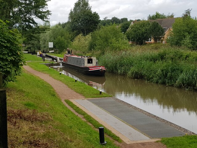
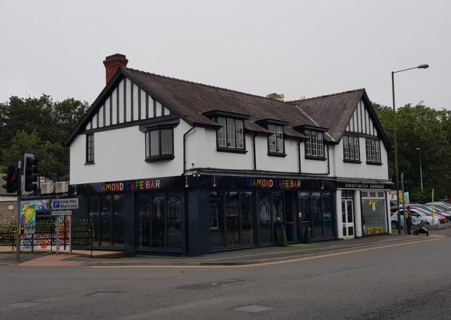
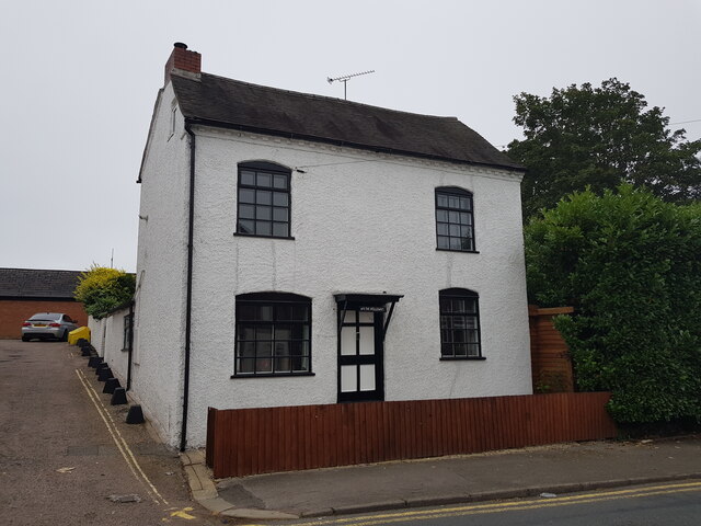
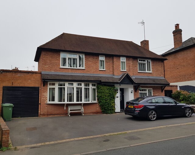
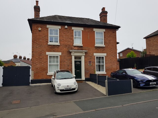
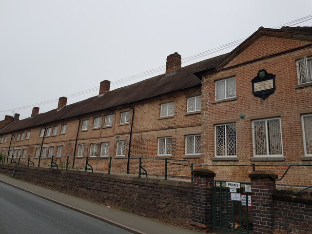
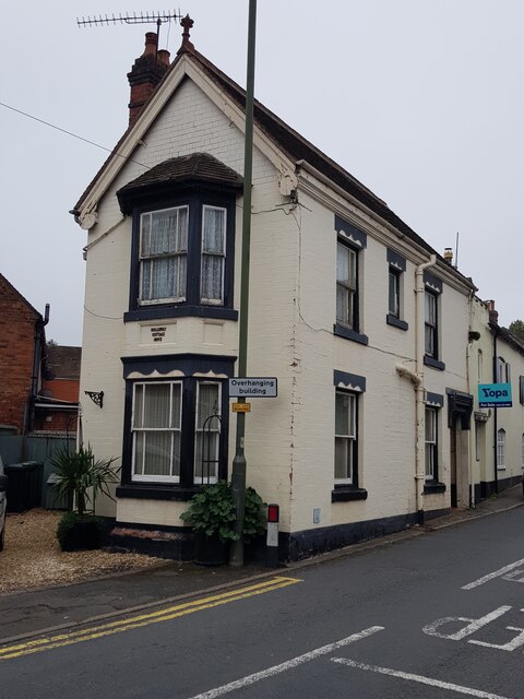
Berry Hill Images

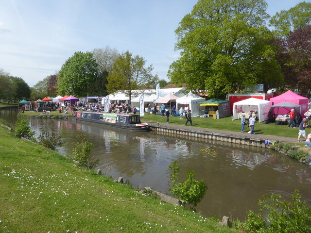
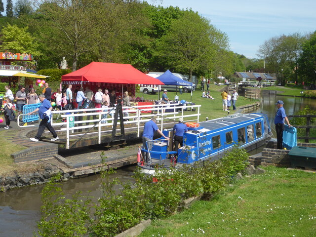
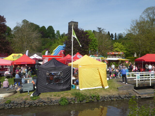
Images are sourced within 2km of 52.277484/-2.161826 or Grid Reference SO8964. Thanks to Geograph Open Source API. All images are credited.

Narrow boat on the Droitwich Junction Canal The grating on the towpath is where water is taken from the canal and transferred via pipes under the towpath to where the canal begins again. This is because the re-builders of the canal did not want to pollute the River Salwarpe.
Narrow boat on the Droitwich Junction Canal
The grating on the towpath is where water is taken from the canal and transferred via pipes under the towpath to where the canal begins again. This is because the re-builders of the canal did not want to pollute the River Salwarpe.
Diamond Coffee Bar, at the crossroads Droitwich Many businesses have tried to flourish at this location which is subject to flooding.
Diamond Coffee Bar, at the crossroads Droitwich
Many businesses have tried to flourish at this location which is subject to flooding.
2, The Holloway, Droitwich Spa
5 The Holloway, Droitwich Spa This used to be a general store at least up to 2001 when the owner complained of too many roadworks in the road.
5 The Holloway, Droitwich Spa
This used to be a general store at least up to 2001 when the owner complained of too many roadworks in the road.
7 The Holloway, Droitwich Spa Presently a semi-detached house this was formally the Ring O'Bells <a href="https://www.geograph.org.uk/photo/5196358">SO9063 : Ring O' Bells, Droitwich</a> which is still marked in the glass above the door.
7 The Holloway, Droitwich Spa
Presently a semi-detached house this was formally the Ring O'Bells SO9063 : Ring O' Bells, Droitwich which is still marked in the glass above the door.
Coventry Almshouses, The Holloway, Droitwich Spa This is one of the original wings which has recently been repointed with lime mortar. Said to have been founded as a result of a horse race between Henry Coventry and Sir John Pakington of Westwood <a href="https://www.geograph.org.uk/photo/4583125">SO8763 : Westwood House from the drive</a>. The loser was to pay for the building of the property named after the winner. Henry Coventry horse won but John Pakington had no cash spare so promised the income of two farms for the upkeep and Henry Coventry left money the building of the houses in his will.
Coventry Almshouses, The Holloway, Droitwich Spa
This is one of the original wings which has recently been repointed with lime mortar. Said to have been founded as a result of a horse race between Henry Coventry and Sir John Pakington of Westwood SO8763 : Westwood House from the drive. The loser was to pay for the building of the property named after the winner. Henry Coventry horse won but John Pakington had no cash spare so promised the income of two farms for the upkeep and Henry Coventry left money the building of the houses in his will.
1, The Holloway, Droitwich Spa
Largely buried lintel by the Droitwich Junction Canal I believe this is the remains of the bridge that crossed the remnant of the original lock linking the Droitwich Junction Canal to the River Salwarpe. The newly restored canal joins the river further upstream. An earlier view is seen here - <a href="https://www.geograph.org.uk/photo/761976">SO9063 : Droitwich Junction Canal - beginning or end</a>.
Largely buried lintel by the Droitwich Junction Canal
I believe this is the remains of the bridge that crossed the remnant of the original lock linking the Droitwich Junction Canal to the River Salwarpe. The newly restored canal joins the river further upstream. An earlier view is seen here - SO9063 : Droitwich Junction Canal - beginning or end.
The canalised River Salwarpe in Droitwich Approaching bridge No. 8 and the barge lock at the entrance to Vines Park.
The canalised River Salwarpe in Droitwich
Approaching bridge No. 8 and the barge lock at the entrance to Vines Park.
Droitwich Junction Canal - warning sign This is the navigation warning system for craft contemplating joining the canalised River Salwarpe at lock No. 7. There is an indicator on the wing wall at the tail of the lock with colours matching those on the sign. Red means do not join the river, yellow is proceed with caution and green is for normal conditions. There is an electronic version with light signals by lock No. 1.
Droitwich Junction Canal - warning sign
This is the navigation warning system for craft contemplating joining the canalised River Salwarpe at lock No. 7. There is an indicator on the wing wall at the tail of the lock with colours matching those on the sign. Red means do not join the river, yellow is proceed with caution and green is for normal conditions. There is an electronic version with light signals by lock No. 1.
Droitwich Junction Canal - navigation information system This is on the wing wall at the tail of lock No. 7 where it joins the River Salwarpe. The marker shows the level of the river. If it is in the red you should not proceed down the lock. Yellow means proceed with caution and green indicates normal, safe conditions.
Droitwich Junction Canal - navigation information system
This is on the wing wall at the tail of lock No. 7 where it joins the River Salwarpe. The marker shows the level of the river. If it is in the red you should not proceed down the lock. Yellow means proceed with caution and green indicates normal, safe conditions.
The barge lock, Vines Park, Droitwich Now renamed the Max Sinclair Memorial Lock and numbered in the same sequence as the Droitwich Junction Canal. This lock marks the junction of the Droitwich Barge Canal with the canalised River Salwarpe at the end of the Junction Canal. Although the Junction Canal is a narrow canal, the barge lock was designed to take the larger sailing trows so they could access a works upstream of here on the river.
The barge lock, Vines Park, Droitwich
Now renamed the Max Sinclair Memorial Lock and numbered in the same sequence as the Droitwich Junction Canal. This lock marks the junction of the Droitwich Barge Canal with the canalised River Salwarpe at the end of the Junction Canal. Although the Junction Canal is a narrow canal, the barge lock was designed to take the larger sailing trows so they could access a works upstream of here on the river.
Old Bridge Marker on the A38 Bridge Marker inscribed in the southeast parapet of Leather Bridge, River Salwarpe, on the A38 Roman Way. On the boundary of Droitwich Spa and Dodderhill parishes. See also <a title="https://www.geograph.org.uk/photo/215119" href="https://www.geograph.org.uk/photo/215119">Link</a>.

Milestone Society National ID: WO_DRODOD01br
Old Bridge Marker on the A38
Bridge Marker inscribed in the southeast parapet of Leather Bridge, River Salwarpe, on the A38 Roman Way. On the boundary of Droitwich Spa and Dodderhill parishes. See also Link. Milestone Society National ID: WO_DRODOD01br
Autumn tree, Lido car park, Droitwich
Winter trees and basketball court, Lido Park, Droitwich
St Richards Canal Festival, Droitwich To raise money for the hospice.
St Richards Canal Festival, Droitwich
To raise money for the hospice.
St Richards Canal Festival, Droitwich A trip boat passing through one of the swing bridges in Vines Park. The festival is to raise money for the hospice.
St Richards Canal Festival, Droitwich
A trip boat passing through one of the swing bridges in Vines Park. The festival is to raise money for the hospice.
St Richards Canal Festival, Droitwich St Augustine's church is on the hill in the background. The festival was to raise money for the hospice in Worcester and was getting quite crowded.
St Richards Canal Festival, Droitwich
St Augustine's church is on the hill in the background. The festival was to raise money for the hospice in Worcester and was getting quite crowded.
Show me another place!

Berry Hill is located at Grid Ref: SO8964 (Lat: 52.277484, Lng: -2.161826)

Administrative County: Worcestershire

District: Wychavon

Police Authority: West Mercia

What 3 Words

///power.ruby.flash. Near Droitwich, Worcestershire

Nearby Locations

Berry Hill

Related Wikis

Nearby Amenities

Located within 500m of 52.277484,-2.161826
Motorway Junction
Lat/Long: 52.2750477/-2.1593623
Bus Stop
Westlands Island
Bus: yes
Naptan AtcoCode: 2000G003901
Naptan Bearing: N
Naptan CommonName: Westlands Island
Naptan Indicator: Adj
Naptan NaptanCode: wocdptwa
Naptan PlusbusZoneRef: DRTWCHS
Naptan Street: Kidderminster Road
Naptan Verified: no
Public Transport: platform
Source: naptan_import
Lat/Long: 52.2741638/-2.160764
Berry Hill Industrial Estate
Naptan AtcoCode: 2000G005000
Naptan Bearing: SW
Naptan BusStopType: CUS
Naptan CommonName: Berry Hill Industrial Estate
Naptan Indicator: Adj
Naptan Landmark: Ten Acres
Naptan NaptanCode: wocdtgmw
Naptan PlusbusZoneRef: DRTWCHS
Naptan Street: West Bank
Naptan Verified: no
Source: naptan_import
Lat/Long: 52.2788431/-2.1576882
Bus Stop
Saab Garage
Bus: yes
Naptan AtcoCode: 2000G156702
Naptan Bearing: SE
Naptan CommonName: Saab Garage
Naptan Indicator: Adj
Naptan Landmark: Saab Garage
Naptan NaptanCode: wocdwjmj
Naptan PlusbusZoneRef: DRTWCHS
Naptan Street: Kidderminster Road
Naptan Verified: no
Public Transport: platform
Source: naptan_import
Lat/Long: 52.2736675/-2.1588655
Bus Stop
Droitwich- Kidderminster Road
Bus: yes
Naptan AtcoCode: 2000G500955
Naptan Bearing: SE
Naptan CommonName: Droitwich- Kidderminster Road
Naptan Indicator: Adj
Naptan Landmark: Berryhill Industrial Estate
Naptan NaptanCode: wocdwgtd
Naptan PlusbusZoneRef: DRTWCHS
Naptan Street: Kidderminster Road
Naptan Verified: no
Public Transport: platform
Source: naptan_import
Lat/Long: 52.2782533/-2.161673
Bus Stop
Droitwich- Kidderminster Road
Bus: yes
Naptan AtcoCode: 2000G500956
Naptan Bearing: NW
Naptan CommonName: Droitwich- Kidderminster Road
Naptan Indicator: Adj
Naptan Landmark: Berryhill Industrial Estate
Naptan NaptanCode: wocdwgtg
Naptan PlusbusZoneRef: DRTWCHS
Naptan Street: Kidderminster Road
Naptan Verified: no
Public Transport: platform
Source: naptan_import
Lat/Long: 52.2779205/-2.161789
Bus Stop
Paddock Way
Bus: yes
Naptan AtcoCode: 2000G502735
Naptan Bearing: N
Naptan CommonName: Paddock Way
Naptan Crossing: Paddock Way
Naptan Indicator: Adj
Naptan NaptanCode: wocdgdwg
Naptan PlusbusZoneRef: DRTWCHS
Naptan Street: Westwood Road
Naptan Verified: no
Public Transport: platform
Source: naptan_import
Lat/Long: 52.2766989/-2.1682552
Bus Stop
Crofters Way
Bus: yes
Naptan AtcoCode: 2000G52736A
Naptan Bearing: E
Naptan CommonName: Crofters Way
Naptan Crossing: Crofters Way
Naptan Indicator: adj
Naptan NaptanCode: wocdtgdg
Naptan PlusbusZoneRef: DRTWCHS
Naptan Street: Westwood Road
Naptan Verified: no
Public Transport: platform
Source: naptan_import
Lat/Long: 52.2793098/-2.1648283
Bus Stop
Drovers Way
Bus: yes
Naptan AtcoCode: 2000G52737A
Naptan Bearing: N
Naptan CommonName: Drovers Way
Naptan Crossing: Drovers Way
Naptan Indicator: opp
Naptan NaptanCode: wocdtgdj
Naptan PlusbusZoneRef: DRTWCHS
Naptan Street: Westwood Road
Naptan Verified: no
Public Transport: platform
Source: naptan_import
Lat/Long: 52.2778662/-2.1620526
Bus Stop
Meadow Road
Bus: yes
Naptan AtcoCode: 2000G52738A
Naptan Bearing: N
Naptan CommonName: Meadow Road
Naptan Crossing: Meadow Road
Naptan Indicator: opp
Naptan NaptanCode: wocdtgdm
Naptan PlusbusZoneRef: DRTWCHS
Naptan Street: Westwood Road
Naptan Verified: no
Public Transport: platform
Source: naptan_import
Lat/Long: 52.2752421/-2.161193
Turning Circle
Source: bing
Lat/Long: 52.2738997/-2.1650621
Westlands
Is In: Droitwich Spa, Worcestershire, UK
Place: suburb
Lat/Long: 52.2758869/-2.1661391
Post Box
Collection Plate: (uncoded)
Collection Times: Mo-Fr 18:30; Sa off
Historic Operator: (none)
Note: This meter box is very dirty, rusty, and unkempt. It still seems to be in use, though
Opening Hours: Mo-Fr 08:00-18:30
Operator: Royal Mail
Operator Wikidata: Q638098
Post Box Type: meter
Ref: WR9 519
Royal Cypher: no
Lat/Long: 52.278679/-2.1585446
Post Box
Note: ref is by conjecture
Post Box Type: lamp
Ref: WR9 360
Lat/Long: 52.2776983/-2.1677898
Post Box
Note: ref is conjectural; need to visit again
Post Box Type: pillar
Ref: WR9 499
Lat/Long: 52.2753664/-2.164559
Listers Jaguar Droitwich
Addr City: Droitwich
Addr Postcode: WR9 9AY
Addr Street: Kidderminster Road
Brand: Jaguar
Brand Wikidata: Q21170490
Brand Wikipedia: en:Jaguar (marque)
Opening Hours: Mo-Fr 08:30-18:30; Sa 09:00-18:00; Su 10:00-16:00
Operator: Listers Group
Phone: +44 1905 346 800
Shop: car
Website: https://listers.co.uk/Jaguar/Droitwich
Lat/Long: 52.2737736/-2.1584053
Post Office
Westlands Post Office
Addr City: Droitwich
Addr Housenumber: 1
Addr Postcode: WR9 9EQ
Addr Street: Farmers Way
Brand: Post Office
Brand Wikidata: Q1783168
Fixme: verify by survey
Opening Hours: Mo-Sa 06:00-22:00; Su 07:00-21:00
Ref Pol Id: 6556
Source: pol_branch_list_2018-02
Website: https://www.postoffice.co.uk/branch-finder/1962477/westlands
Lat/Long: 52.2752234/-2.1652471
Barrier: bollard
Lat/Long: 52.2770881/-2.1636315
Generator Method: photovoltaic
Generator Output Electricity: yes
Generator Source: solar
Generator Type: solar_photovoltaic_panel
Location: roof
Power: generator
Lat/Long: 52.2765328/-2.1669111
Generator Method: photovoltaic
Generator Output Electricity: yes
Generator Source: solar
Generator Type: solar_photovoltaic_panel
Location: roof
Power: generator
Lat/Long: 52.2764885/-2.1669164
Generator Method: photovoltaic
Generator Output Electricity: yes
Generator Source: solar
Generator Type: solar_photovoltaic_panel
Location: roof
Power: generator
Lat/Long: 52.277547/-2.1674314
Generator Method: photovoltaic
Generator Output Electricity: yes
Generator Source: solar
Generator Type: solar_photovoltaic_panel
Location: roof
Power: generator
Lat/Long: 52.277693/-2.1672973
Generator Method: photovoltaic
Generator Output Electricity: yes
Generator Source: solar
Generator Type: solar_photovoltaic_panel
Location: roof
Power: generator
Lat/Long: 52.2775962/-2.1652776
Generator Method: photovoltaic
Generator Output Electricity: yes
Generator Source: solar
Generator Type: solar_photovoltaic_panel
Location: roof
Power: generator
Lat/Long: 52.2775765/-2.1651837
Generator Method: photovoltaic
Generator Output Electricity: yes
Generator Source: solar
Generator Type: solar_photovoltaic_panel
Location: roof
Power: generator
Lat/Long: 52.2771876/-2.1637353
Generator Method: photovoltaic
Generator Output Electricity: yes
Generator Source: solar
Generator Type: solar_photovoltaic_panel
Location: roof
Power: generator
Lat/Long: 52.2772171/-2.1636575
Generator Method: photovoltaic
Generator Output Electricity: yes
Generator Source: solar
Generator Type: solar_photovoltaic_panel
Location: roof
Power: generator
Lat/Long: 52.277245/-2.1635824
Generator Method: photovoltaic
Generator Output Electricity: yes
Generator Source: solar
Generator Type: solar_photovoltaic_panel
Location: roof
Power: generator
Lat/Long: 52.2772844/-2.163502
Generator Method: photovoltaic
Generator Output Electricity: yes
Generator Source: solar
Generator Type: solar_photovoltaic_panel
Location: roof
Power: generator
Lat/Long: 52.277309/-2.1634296
Generator Method: photovoltaic
Generator Output Electricity: yes
Generator Source: solar
Generator Type: solar_photovoltaic_panel
Location: roof
Power: generator
Lat/Long: 52.2773385/-2.1633545
Generator Method: photovoltaic
Generator Output Electricity: yes
Generator Source: solar
Generator Type: solar_photovoltaic_panel
Location: roof
Power: generator
Lat/Long: 52.277199/-2.1623781
Barrier: height_restrictor
Lat/Long: 52.2778945/-2.1556135
Barrier: height_restrictor
Lat/Long: 52.2774349/-2.1552941
Generator Method: photovoltaic
Generator Output Electricity: yes
Generator Source: solar
Generator Type: solar_photovoltaic_panel
Location: roof
Power: generator
Lat/Long: 52.2734851/-2.1645749
The data included in this document is from www.openstreetmap.org. The data is made available under ODbL.

Have you been to Berry Hill?

Leave your review of Berry Hill below (or comments, questions and feedback).