Town, New

Settlement in Dorset

England

Town, New

Minor road outside Farnham
Minor road outside Farnham Credit: Helen Steed

Town, New Dorset, is a charming coastal village located in the southern region of England. Situated on the scenic Dorset coastline, this picturesque town offers both residents and visitors a delightful blend of natural beauty and historical charm. With a population of approximately 5,000, Town is a close-knit community that prides itself on its friendly atmosphere and strong sense of community.

The town is known for its stunning sandy beaches, which attract tourists from far and wide during the summer months. These pristine stretches of coastline offer breathtaking views of the English Channel and provide a perfect spot for sunbathing, swimming, and even water sports such as surfing and sailing.

In addition to its natural attractions, Town is steeped in history. The town center boasts a range of historic buildings, including a 13th-century church and a Tudor-era castle, both of which are popular tourist destinations. The narrow, winding streets and quaint cottages add to the town's old-world charm.

Despite its relatively small size, Town offers a variety of amenities and services to its residents. The town center is home to a range of independent shops, charming cafes, and traditional pubs, providing a vibrant and lively atmosphere. There are also several schools, medical facilities, and recreational spaces, ensuring that residents have access to all the necessary amenities.

Overall, Town, New Dorset, is a hidden gem on the Dorset coastline, offering a unique blend of natural beauty, rich history, and a strong community spirit. Whether you are seeking a peaceful seaside getaway or a place to call home, Town is sure to captivate you with its charm and warmth.

If you have any feedback on the listing, please let us know in the comments section below.
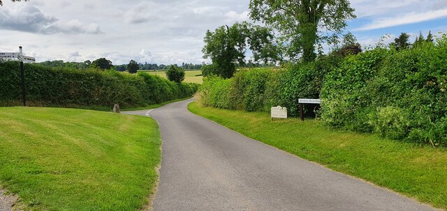
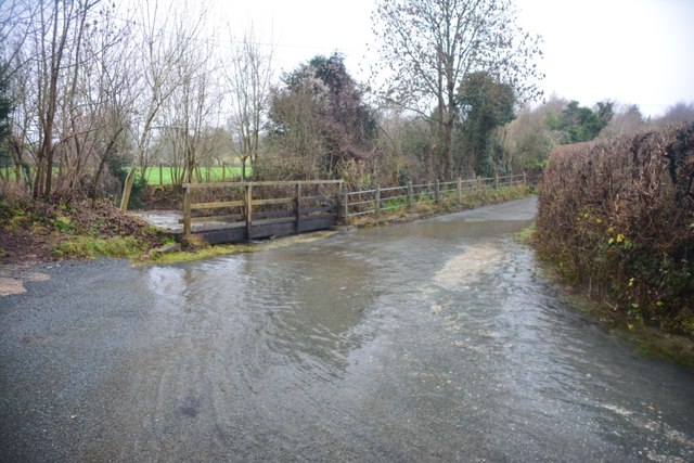
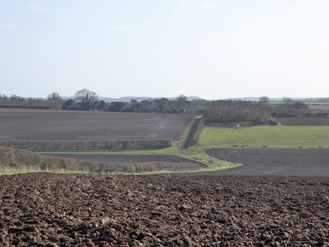
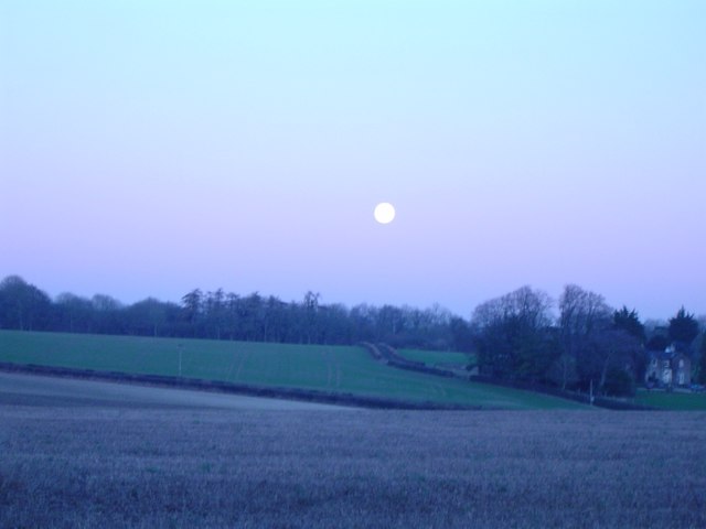
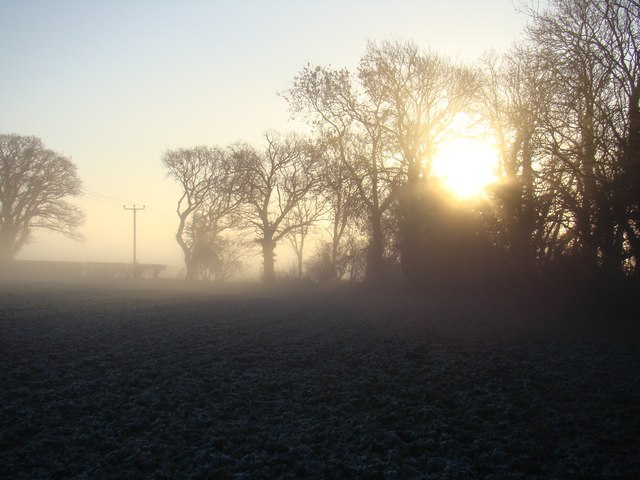
Town, New Images

Images are sourced within 2km of 50.940539/-2.0730474 or Grid Reference ST9415. Thanks to Geograph Open Source API. All images are credited.

Minor road outside Farnham
Children's play area, Farnham
Ford at Minchington This ford at Minchington was in flood on the day of our visit.
Ford at Minchington
This ford at Minchington was in flood on the day of our visit.
Ford, Minchington The level here can by higher - see <a href="https://www.geograph.org.uk/photo/4806891">ST9614 : Ford at Minchington</a> - or doubtless lower, as is the way with fords.
Ford, Minchington
The level here can by higher - see ST9614 : Ford at Minchington - or doubtless lower, as is the way with fords.
Cottages, Farnham At the village centre.
Cottages, Farnham
At the village centre.
Farmland east of Oakley Lane
Parkland east of Oakley Lane Part of Rushmore Park.
Parkland east of Oakley Lane
Part of Rushmore Park.
Rushmore Park, avenue The remains of a once fine avenue of beech trees, at the southern entrance to the estate.
Rushmore Park, avenue
The remains of a once fine avenue of beech trees, at the southern entrance to the estate.
Rushmore Park, timber Beech trunks, awaiting collection by the roadside.
Rushmore Park, timber
Beech trunks, awaiting collection by the roadside.
Rushmore Park, footpath Skirting woodland, towards Shermel Gate.
Rushmore Park, footpath
Skirting woodland, towards Shermel Gate.
Rushmore Park, avenue A once fine avenue of beech trees leading from South Lodge. Several have disappeared or are in poor condition.
Rushmore Park, avenue
A once fine avenue of beech trees leading from South Lodge. Several have disappeared or are in poor condition.
Rushmore Park, platform Possibly used for watching equestrian events.
Rushmore Park, platform
Possibly used for watching equestrian events.
Rushmore Park, gate Entering Pollards Wood, on the path to Shermel Gate.
Rushmore Park, gate
Entering Pollards Wood, on the path to Shermel Gate.
Rushmore Park, footpath Through Pollards Wood, on the way to Shermel Gate; part of Hardy Way.
Rushmore Park, footpath
Through Pollards Wood, on the way to Shermel Gate; part of Hardy Way.
Rushmore Park, bluebells Wild bluebells under, unusually, a screen of conifers in Uddens Coppice.
Rushmore Park, bluebells
Wild bluebells under, unusually, a screen of conifers in Uddens Coppice.
Rushmore Park, dewpond Used by the local sheep.
Rushmore Park, dewpond
Used by the local sheep.
Bleak midwinter Full moon, short day, midwinter sky
Bleak midwinter
Full moon, short day, midwinter sky
Field's edge
Field's edge
Show me another place!

Town, New is located at Grid Ref: ST9415 (Lat: 50.940539, Lng: -2.0730474)

Unitary Authority: Dorset

Police Authority: Dorset

What 3 Words

///simulator.shoebox.patting. Near Pimperne, Dorset

Related Wikis

Farnham, Dorset

Farnham is a village and civil parish in North Dorset, in the south of England, on Cranborne Chase, seven miles (eleven kilometres) northeast of Blandford...

Larmer Tree Festival

Larmer Tree Festival was a three-day music, comedy and arts festival held annually from 1990 until 2019 at the Larmer Tree Gardens, near Tollard Royal...

Larmer Tree Gardens

The Larmer Tree Gardens near Tollard Royal in south Wiltshire, England, were created by landowner Augustus Pitt Rivers in 1880 as pleasure grounds for...

South Lodge Camp

South Lodge Camp is an archaeological site of the Bronze Age, about 0.6 miles (1.0 km) south-east of the village of Tollard Royal, in Wiltshire, England...

King John's House, Tollard Royal

King John's House is a former manor house in the south Wiltshire village of Tollard Royal, England. Just south of the church, the building has at its core...

Tollard Royal

Tollard Royal is a village and civil parish on Cranborne Chase, Wiltshire, England. The parish is on Wiltshire's southern boundary with Dorset and the...

Chettle

Chettle is a small village and civil parish in the county of Dorset in southern England. It lies 6 miles (10 kilometres) northeast of Blandford Forum....

Woodcutts

Woodcutts is a hamlet within the parish of Sixpenny Handley and is located in the north of Dorset, near to the Wiltshire border. Originally named "Woodcotes...

Nearby Amenities

Located within 500m of 50.940539,-2.0730474
New Town
Place: hamlet
Lat/Long: 50.9386686/-2.0719549
Tollard Farnham
Place: hamlet
Wikidata: Q104655213
Lat/Long: 50.9426709/-2.0763752
Material: wood
Poles: bipole
Power: pole
Source: bing
Lat/Long: 50.939315/-2.0694668
Material: wood
Power: pole
Source: bing
Lat/Long: 50.9394096/-2.0706362
Material: wood
Power: pole
Source: bing
Lat/Long: 50.9394096/-2.0718084
Material: wood
Power: pole
Source: bing
Lat/Long: 50.9394147/-2.06922
Material: wood
Power: pole
Source: bing
Transformer: distribution
Lat/Long: 50.9394282/-2.0729403
Material: wood
Power: pole
Source: bing
Lat/Long: 50.9396699/-2.0684395
Material: wood
Power: pole
Source: bing
Lat/Long: 50.9399792/-2.0674927
Material: wood
Power: pole
Source: bing
Lat/Long: 50.9400688/-2.0710225
Material: wood
Power: pole
Source: bing
Lat/Long: 50.9403071/-2.0664976
Material: wood
Power: pole
Source: bing
Lat/Long: 50.9408175/-2.0724977
Material: wood
Power: pole
Source: bing
Lat/Long: 50.9422186/-2.0753596
Material: wood
Power: pole
Source: bing
Lat/Long: 50.9429926/-2.076926
Material: wood
Power: pole
Source: bing
Lat/Long: 50.9383194/-2.0680077
Material: wood
Power: pole
Source: bing
Lat/Long: 50.9423513/-2.0706067
Material: wood
Power: pole
Source: bing
Lat/Long: 50.94238/-2.0674149
Material: wood
Power: pole
Source: bing
Lat/Long: 50.9426301/-2.070604
Material: wood
Power: pole
Source: bing
Lat/Long: 50.9429225/-2.0682088
Material: wood
Power: pole
Source: bing
Lat/Long: 50.9429817/-2.0705745
Material: wood
Power: pole
Source: bing
Lat/Long: 50.9433349/-2.0705343
Material: wood
Power: pole
Source: bing
Lat/Long: 50.9434295/-2.0687882
Material: wood
Power: pole
Source: bing
Lat/Long: 50.9436932/-2.0705021
Material: wood
Power: pole
Source: bing
Lat/Long: 50.9439213/-2.0693675
Material: wood
Power: pole
Source: bing
Lat/Long: 50.9440261/-2.0704726
Material: wood
Power: pole
Source: bing
Lat/Long: 50.9443725/-2.0704431
Material: wood
Power: pole
Source: bing
Transformer: distribution
Lat/Long: 50.9445415/-2.0700595
Post Box
Operator: Royal Mail
Post Box Type: lamp
Ref: DT11 78
Ref GB Uprn: 10024720031
Royal Cypher: EIIR
Royal Cypher Wikidata: Q33102113
Lat/Long: 50.9409686/-2.0723082
The data included in this document is from www.openstreetmap.org. The data is made available under ODbL.

Have you been to Town, New?

Leave your review of Town, New below (or comments, questions and feedback).