Berrick Salome
Settlement in Oxfordshire South Oxfordshire
England
Berrick Salome

Berrick Salome is a picturesque village located in the county of Oxfordshire, England. Situated within the South Oxfordshire district, it encompasses an area of approximately 1.7 square miles. The village is nestled amidst the scenic countryside, boasting a tranquil and idyllic setting.
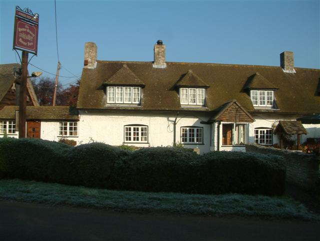
Berrick Salome is home to a small population, with just over 300 residents. The village exudes a charming and quintessentially English character, with its traditional thatched cottages, well-maintained gardens, and winding country lanes. The peaceful atmosphere and stunning rural vistas make it an ideal retreat for those seeking a serene escape from the hustle and bustle of city life.
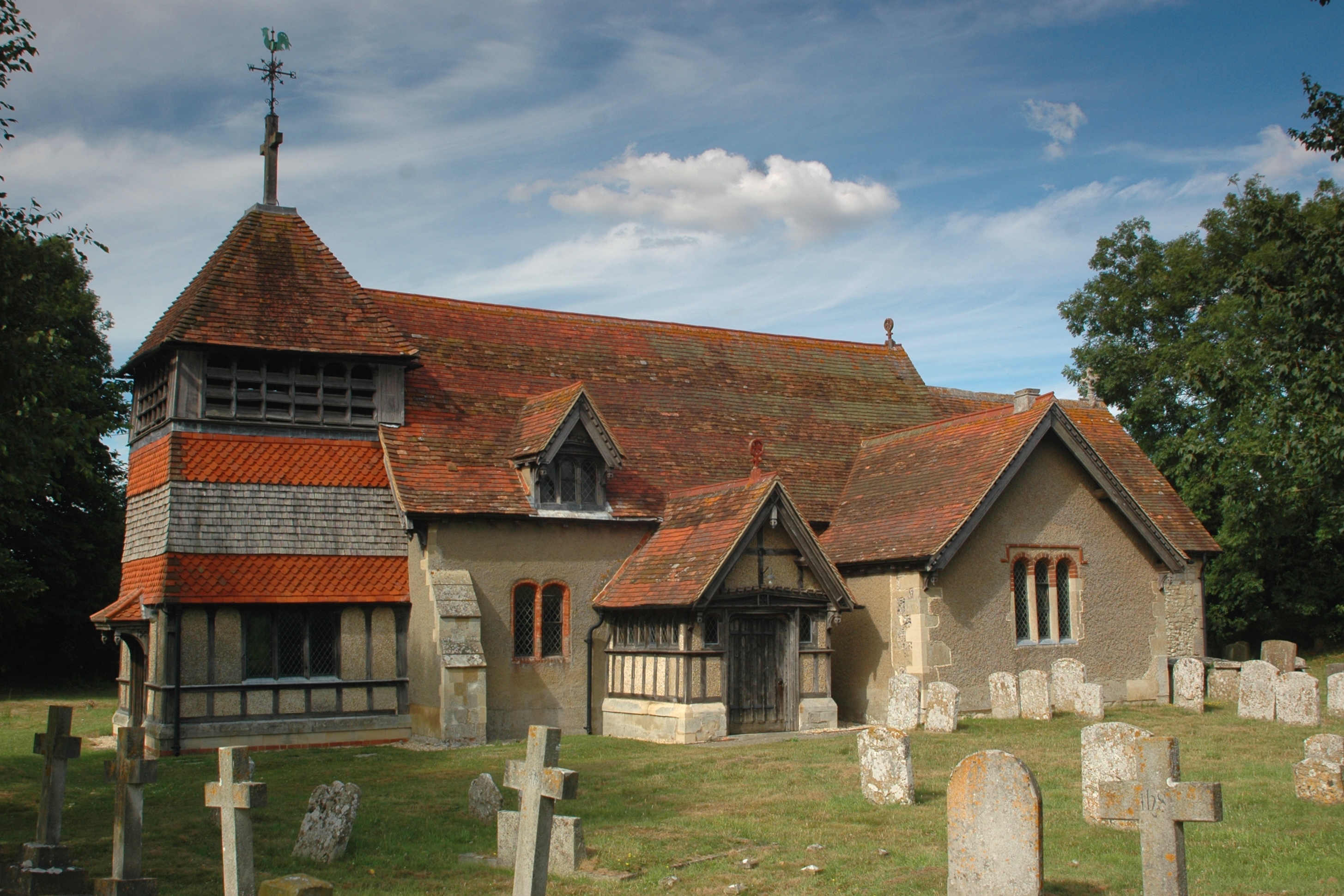
The heart of Berrick Salome is its historic parish church, St. Helen's Church, which dates back to the 12th century. This beautiful church, with its striking architecture and stained glass windows, serves as a focal point for both religious and community activities.
Despite its modest size, Berrick Salome boasts strong community spirit, organizing various events and activities throughout the year. These include summer fetes, village hall gatherings, and local sports tournaments, fostering a sense of togetherness and camaraderie among residents.
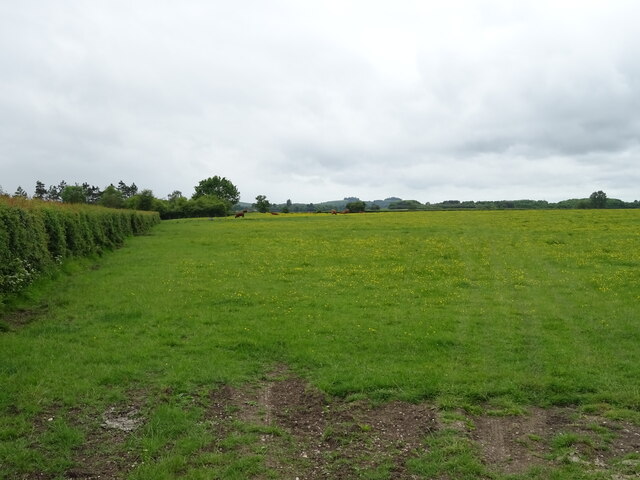
Surrounded by lush green fields and meandering footpaths, Berrick Salome offers ample opportunities for outdoor pursuits. Locals and visitors alike can enjoy leisurely walks, cycling, or horse riding in the surrounding countryside, taking in the breathtaking views and immersing themselves in nature.
In summary, Berrick Salome is a charming and peaceful village in Oxfordshire, England, offering a serene escape with its scenic beauty, community spirit, and rich history.
If you have any feedback on the listing, please let us know in the comments section below.
Berrick Salome Images
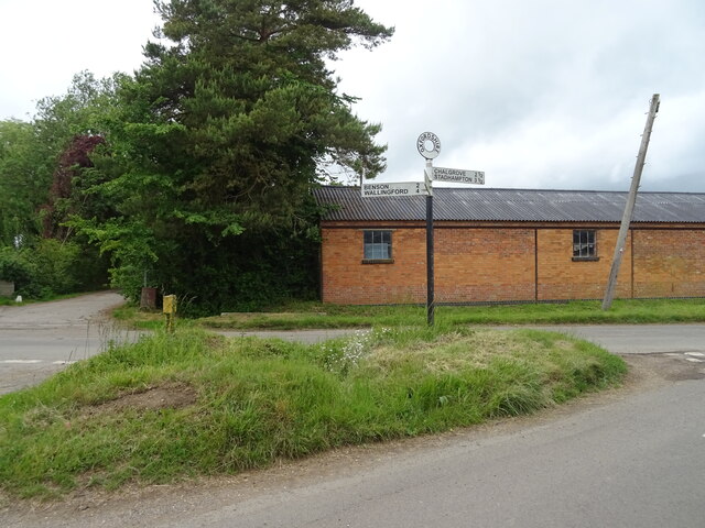
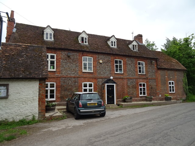
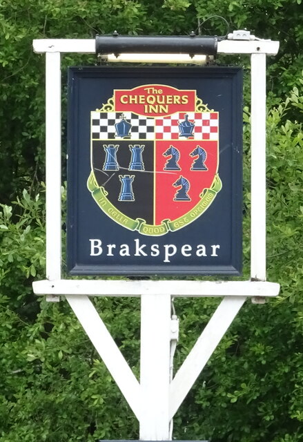
Images are sourced within 2km of 51.64463/-1.103545 or Grid Reference SU6294. Thanks to Geograph Open Source API. All images are credited.


Berrick Salome is located at Grid Ref: SU6294 (Lat: 51.64463, Lng: -1.103545)
Administrative County: Oxfordshire
District: South Oxfordshire
Police Authority: Thames Valley
What 3 Words
///utter.dabble.shot. Near Benson, Oxfordshire
Nearby Locations
Related Wikis
Berrick Salome
Berrick Salome is a village and civil parish in South Oxfordshire, England, about 3 miles (5 km) north of Wallingford. Since the 1992 boundary changes...
Roke
Roke is a hamlet in South Oxfordshire, about 3 miles (4.8 km) north of Wallingford. It has a sixteenth-century public house, the Home Sweet Home. It is...

Warborough
Warborough is a village and civil parish in South Oxfordshire, about 2.5 miles (4 km) north of Wallingford and about 9 miles (14 km) south of Oxford. The...

Benson Veteran Cycle Museum
Benson Veteran Cycle Museum is a private museum of veteran cycles in the village of Benson near Wallingford in Oxfordshire, England.The museum has over...
Nearby Amenities
Located within 500m of 51.64463,-1.103545Have you been to Berrick Salome?
Leave your review of Berrick Salome below (or comments, questions and feedback).