Mills, New

Settlement in Berwickshire

Scotland

Mills, New

Mast at Blackchester Overlooking Lauderdale.
Mast at Blackchester Credit: M J Richardson

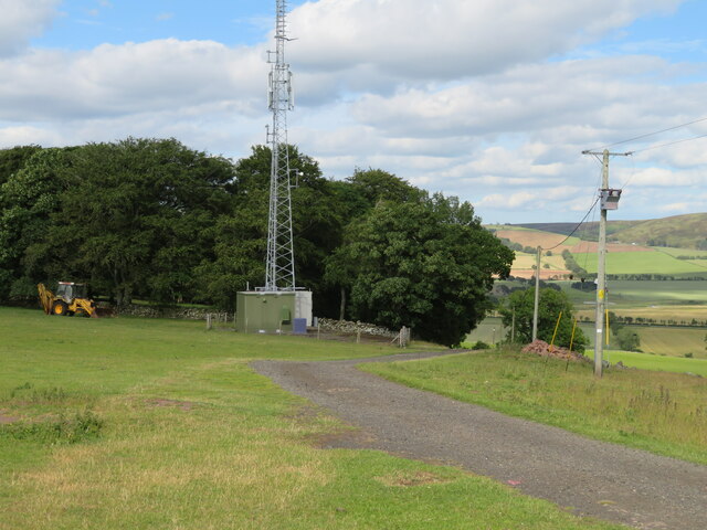
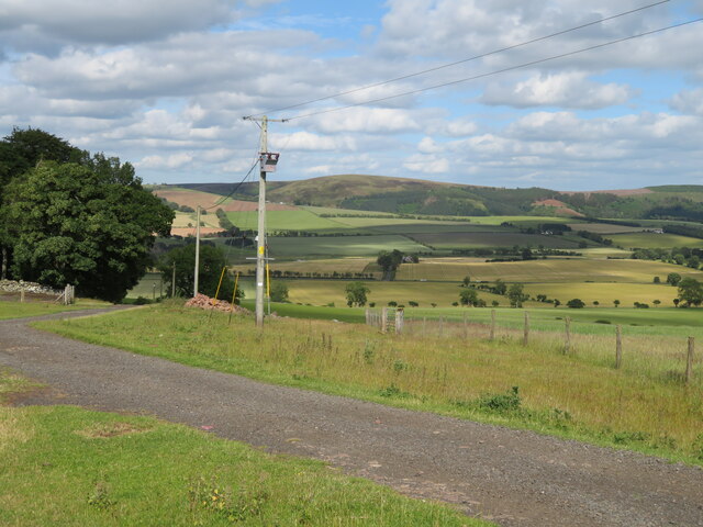
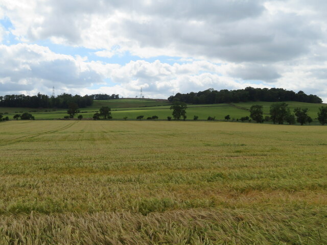
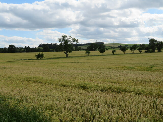
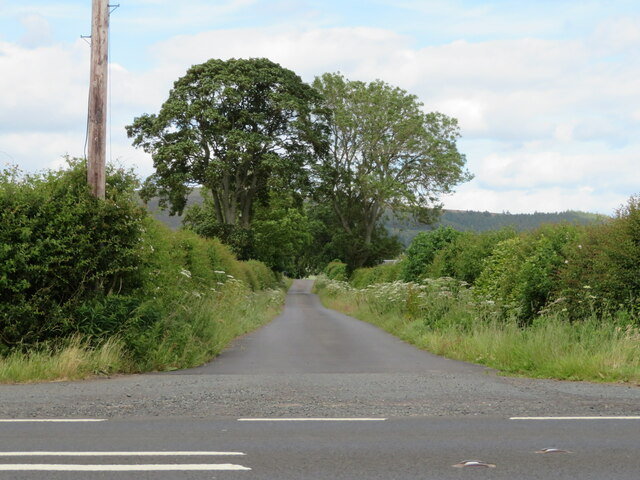
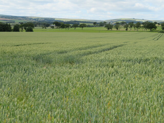
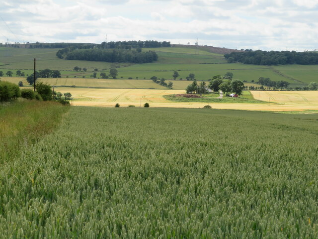
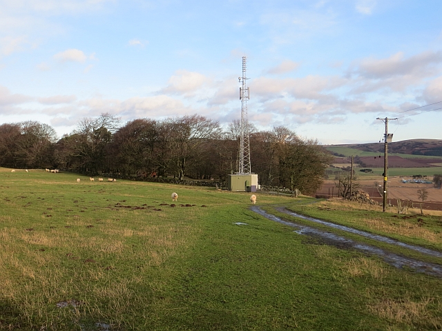
Mills is a small village located in the county of Berwickshire, in the southeastern part of Scotland. It is situated near the border with England, making it an important hub for trade and transportation between the two countries. The village is nestled in a picturesque setting, surrounded by rolling hills and lush green countryside.

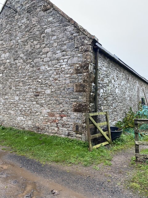
Mills is known for its rich history, with evidence of human settlement dating back to ancient times. The area was once a thriving center for the textile industry, hence the name of the village. The old mills, which were instrumental in the production of textiles during the Industrial Revolution, still stand as a testament to the village's industrial past.

Despite its small size, Mills offers a range of amenities to its residents and visitors. There is a local primary school, a community center, and a small selection of shops and businesses that cater to the everyday needs of the population. The village also boasts a charming pub, where locals and tourists alike can relax and enjoy traditional Scottish cuisine.

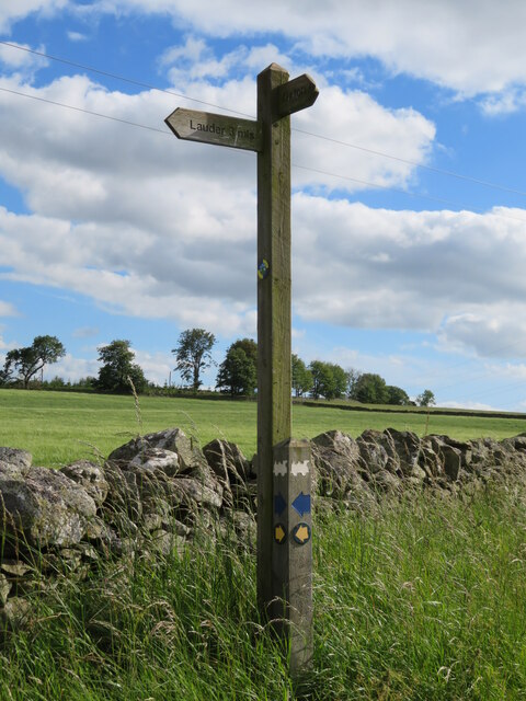
The surrounding countryside provides ample opportunities for outdoor activities such as hiking, cycling, and fishing. The nearby River Tweed is renowned for its excellent salmon fishing, attracting anglers from far and wide.

Mills is a peaceful and welcoming village, offering a tranquil escape from the hustle and bustle of city life. Its rich history, natural beauty, and friendly community make it an attractive destination for those seeking a taste of rural Scotland.

If you have any feedback on the listing, please let us know in the comments section below.
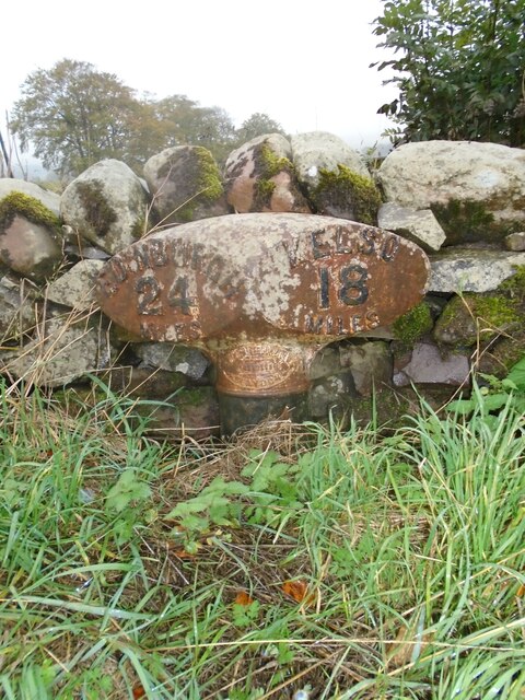
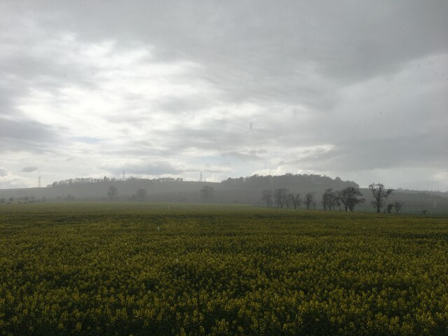
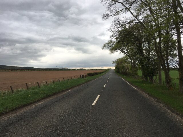
Mills, New Images

Images are sourced within 2km of 55.732009/-2.765899 or Grid Reference NT5249. Thanks to Geograph Open Source API. All images are credited.

Mast at Blackchester Overlooking Lauderdale.
Mast at Blackchester
Overlooking Lauderdale.
Looking over Lauderdale from Blackchester The road to the farm, and a low tension electricity supply line and transformer.
Looking over Lauderdale from Blackchester
The road to the farm, and a low tension electricity supply line and transformer.
Footpath sign at Blackchester Part of the Lauder paths network. The locomotive logo relates to the Lauder Light Railway, which ran nearby.
Footpath sign at Blackchester
Part of the Lauder paths network. The locomotive logo relates to the Lauder Light Railway, which ran nearby.
Barley field in Lauderdale Looking west from the A68 towards Blackchester.
Barley field in Lauderdale
Looking west from the A68 towards Blackchester.
Barley field in Lauderdale Looking southwest from the A68 towards hedgerow trees.
Barley field in Lauderdale
Looking southwest from the A68 towards hedgerow trees.
Drive to Lauderhaugh A Lauderdale farm, off the A68.
Drive to Lauderhaugh
A Lauderdale farm, off the A68.
Wheat at Newbigging Walls Looking northwestwards in Lauderdale
Wheat at Newbigging Walls
Looking northwestwards in Lauderdale
Looking across Lauderdale From a wheat field at Newbigging Walls. Leaderhaugh is across the river.
Looking across Lauderdale
From a wheat field at Newbigging Walls. Leaderhaugh is across the river.
Cut-leaved Cranesbill in a field gateway Geranium dissectum, one of about 20 UK species of Geranium, but few have leaves dissected to this extent. Flowering has finished, but there are plenty of fruits  - five reddish, pointed sepals, a ring of five dark seeds, with a dark beak protruding from the centre of the ring [the 'cranesbill']; several are visible in the image, and see <a title="https://www.geograph.org.uk/photo/5460151" href="https://www.geograph.org.uk/photo/5460151">Link</a> and <a title="https://www.geograph.org.uk/photo/4034928" href="https://www.geograph.org.uk/photo/4034928">Link</a>. Not the 'Geranium' of florists and gardeners - they are Pelargoniums <span class="nowrap"><a title="https://en.wikipedia.org/wiki/Geranium" rel="nofollow ugc noopener" href="https://en.wikipedia.org/wiki/Geranium">Link</a><img style="margin-left:2px;" alt="External link" title="External link - shift click to open in new window" src="https://s1.geograph.org.uk/img/external.png" width="10" height="10"/></span>.
Cut-leaved Cranesbill in a field gateway
Geranium dissectum, one of about 20 UK species of Geranium, but few have leaves dissected to this extent. Flowering has finished, but there are plenty of fruits - five reddish, pointed sepals, a ring of five dark seeds, with a dark beak protruding from the centre of the ring [the 'cranesbill']; several are visible in the image, and see Link and Link. Not the 'Geranium' of florists and gardeners - they are Pelargoniums LinkExternal link.
Old milepost The most northerly Smith Patterson post on the Kelso to Edinburgh route at Newbigging Walls.   It is on the west-side verge of the A697 opposite one of the farm buildings.   A prime subject for digging out and repainting as it gets rustier and rustier as the years pass  <a href="https://www.geograph.org.uk/photo/6102356">NT5350 : Old Milepost by the A697, Newbiggins Walls</a>   There is another MP marked on the 2007 OS 50000 a mile further north but it cannot now be found.  It was photographed in the 1980s, well painted although quite sunken.  White top, black stem as this one.
Old milepost
The most northerly Smith Patterson post on the Kelso to Edinburgh route at Newbigging Walls. It is on the west-side verge of the A697 opposite one of the farm buildings. A prime subject for digging out and repainting as it gets rustier and rustier as the years pass NT5350 : Old Milepost by the A697, Newbiggins Walls There is another MP marked on the 2007 OS 50000 a mile further north but it cannot now be found. It was photographed in the 1980s, well painted although quite sunken. White top, black stem as this one.
Field of oilseed rape near Lauderhaugh
A697 near Newbigging Walls
OS Flush Bracket 10430: Blackburn <span class="nowrap"><a title="https://www.bench-marks.org.uk/bm20556" rel="nofollow ugc noopener" href="https://www.bench-marks.org.uk/bm20556">Link</a><img style="margin-left:2px;" alt="External link" title="External link - shift click to open in new window" src="https://s1.geograph.org.uk/img/external.png" width="10" height="10"/></span>
OS Flush Bracket 10430: Blackburn
Location of OS Flush Bracket 10430: Blackburn
Cottage at Blackburn Blackburn is a farm on the west side of the A68 near to Lauder; the cottage lies to the north of the farmhouse.
Cottage at Blackburn
Blackburn is a farm on the west side of the A68 near to Lauder; the cottage lies to the north of the farmhouse.
Upturned troughs Awaiting the return of sheep to this field.
Upturned troughs
Awaiting the return of sheep to this field.
Mobile mast, Blackchester Good line of sight down Lauderdale.
Mobile mast, Blackchester
Good line of sight down Lauderdale.
Show me another place!

Mills, New is located at Grid Ref: NT5249 (Lat: 55.732009, Lng: -2.765899)

Unitary Authority: The Scottish Borders

Police Authority: The Lothians and Scottish Borders

What 3 Words

///bunny.headrest.ribcage. Near Lauder, Scottish Borders

Related Wikis

Lauder railway station

Lauder railway station served the town of Lauder, Berwickshire, Scotland, from 1901 to 1958. It was situated on the Lauder Light Railway. == History... ==

Lauderdale

Lauderdale is the valley of the Leader Water (a tributary of the Tweed) in the Scottish Borders. It contains the town of Lauder, as well as Earlston. The...

Thirlestane Castle

Thirlestane Castle is a castle set in extensive parklands near Lauder in the Borders of Scotland. The site is aptly named Castle Hill, as it stands upon...

Lauder

The former Royal Burgh of Lauder (, Scottish Gaelic: Labhdar) is a town in the Scottish Borders in the historic county of Berwickshire. On the Southern...

Nearby Amenities

Located within 500m of 55.732009,-2.765899
Give Way
Direction: forward
Lat/Long: 55.7350833/-2.7657853
Power: pole
Lat/Long: 55.7351485/-2.7708924
Power: pole
Lat/Long: 55.7343604/-2.7704648
Power: pole
Lat/Long: 55.7335894/-2.7700347
Power: pole
Lat/Long: 55.7321277/-2.7692076
Power: pole
Lat/Long: 55.7305757/-2.7683371
Power: pole
Lat/Long: 55.729842/-2.7679376
Power: pole
Lat/Long: 55.7295009/-2.769401
Power: pole
Lat/Long: 55.7291756/-2.770839
Power: pole
Lat/Long: 55.7289835/-2.7716508
Power: pole
Lat/Long: 55.7290165/-2.7615061
Power: pole
Lat/Long: 55.7293705/-2.7624758
Power: pole
Lat/Long: 55.7295883/-2.7630612
Power: pole
Lat/Long: 55.7296843/-2.7633717
Power: pole
Lat/Long: 55.7300541/-2.7644406
Power: pole
Lat/Long: 55.7304095/-2.7655274
Power: pole
Lat/Long: 55.73012/-2.7667414
Bench
Lat/Long: 55.7288008/-2.7678184
The data included in this document is from www.openstreetmap.org. The data is made available under ODbL.

Have you been to Mills, New?

Leave your review of Mills, New below (or comments, questions and feedback).