Mill, New
Settlement in Hertfordshire Dacorum
England
Mill, New
Mill, New, Hertfordshire, is a quaint and picturesque village located in the county of Hertfordshire, England. Nestled in the heart of the countryside, this tranquil settlement is known for its idyllic landscapes, rich history, and close-knit community.
With a population of approximately 1,000 residents, Mill, New, Hertfordshire, offers a peaceful and friendly atmosphere. The village is characterized by its charming cottages, well-maintained gardens, and traditional architecture, giving it a timeless appeal. It is a popular destination for those seeking a quiet and serene lifestyle away from the hustle and bustle of the city.
The village boasts a range of amenities to cater to the needs of its residents. These include a local convenience store, a post office, a primary school, and a village hall that serves as a hub for community events and activities. The village also has several pubs and eateries that offer a selection of delicious food and beverages.
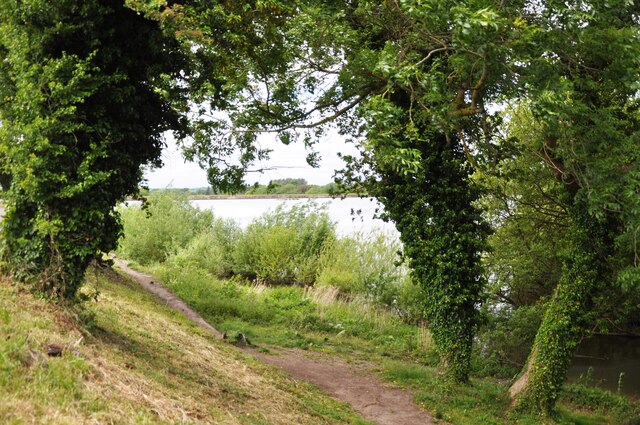
Mill, New, Hertfordshire, is surrounded by breathtaking natural beauty. The rolling hills, meandering rivers, and lush green fields provide ample opportunities for outdoor activities such as hiking, cycling, and fishing. The village is also within close proximity to several nature reserves and parks, allowing residents to explore and appreciate the local flora and fauna.
In addition to its natural beauty, Mill, New, Hertfordshire, has a rich history dating back centuries. The village is home to several historic landmarks, including a medieval church and a restored water mill, which offer a glimpse into the area's past.
Overall, Mill, New, Hertfordshire, is a charming and tranquil village that offers a peaceful lifestyle, stunning landscapes, and a strong sense of community.
If you have any feedback on the listing, please let us know in the comments section below.
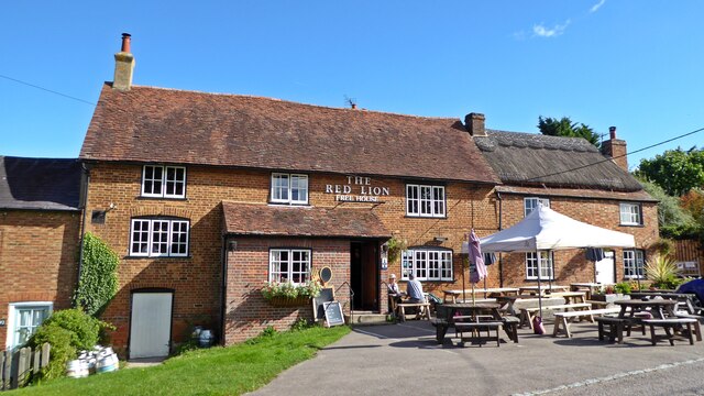
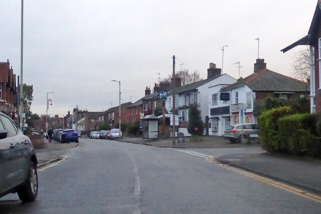
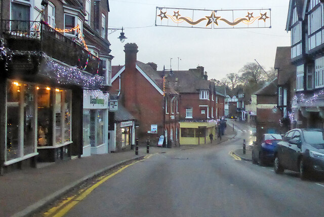
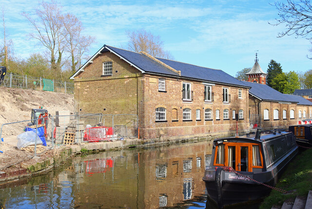
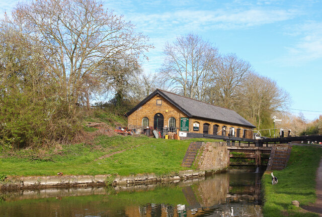
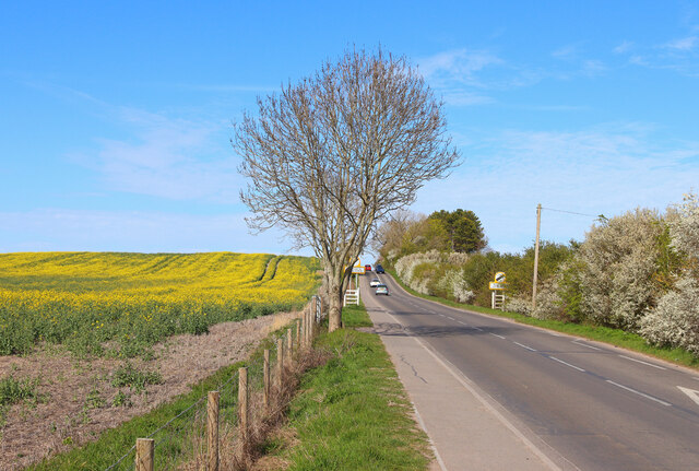
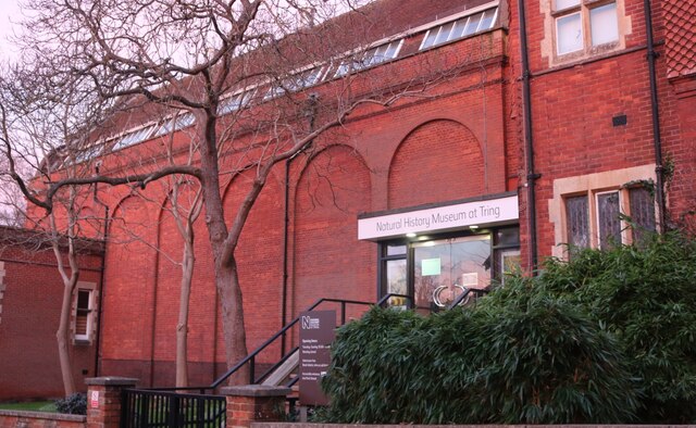
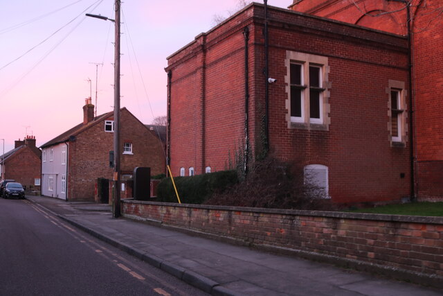
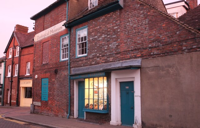
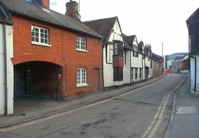
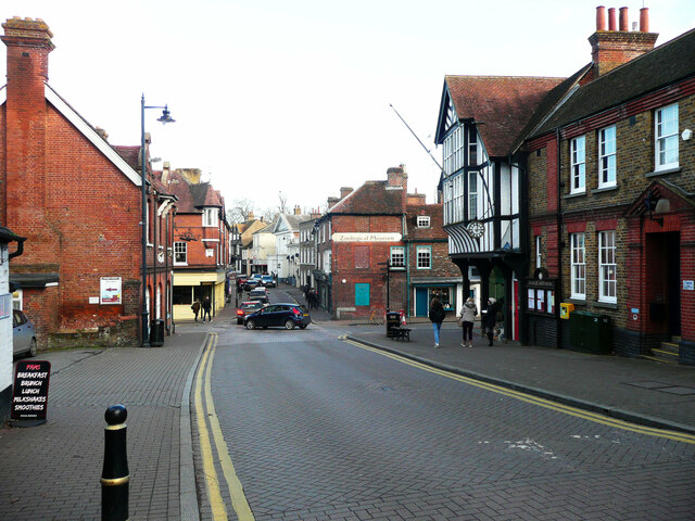
Mill, New Images
Images are sourced within 2km of 51.807025/-0.657583 or Grid Reference SP9212. Thanks to Geograph Open Source API. All images are credited.


Mill, New is located at Grid Ref: SP9212 (Lat: 51.807025, Lng: -0.657583)
Administrative County: Hertfordshire
District: Dacorum
Police Authority: Hertfordshire
What 3 Words
///dates.provider.vibrating. Near Tring, Hertfordshire
Nearby Locations
Related Wikis
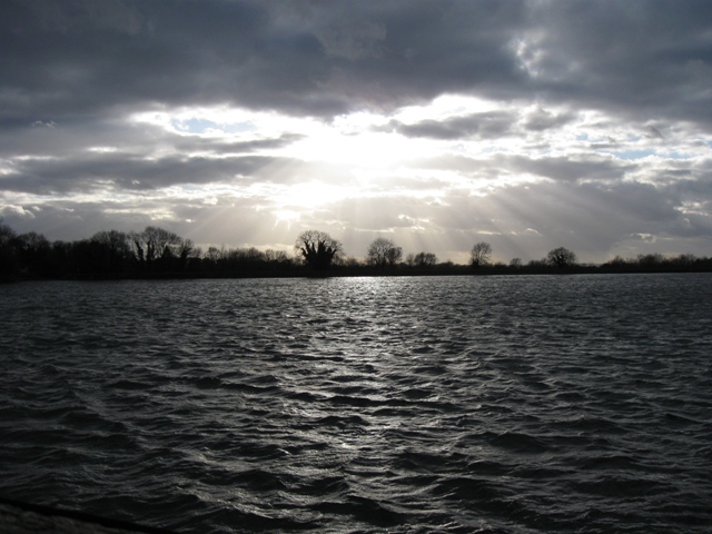
Tring Reservoirs
Tring Reservoirs is a group of four reservoirs close to Tring on the border of Hertfordshire and Buckinghamshire, England. Their purpose is to feed the...

Tring School
Tring School is a secondary school with academy status, with approximately 1,500 students aged between 11 and 18. It is located on Mortimer Hill on the...
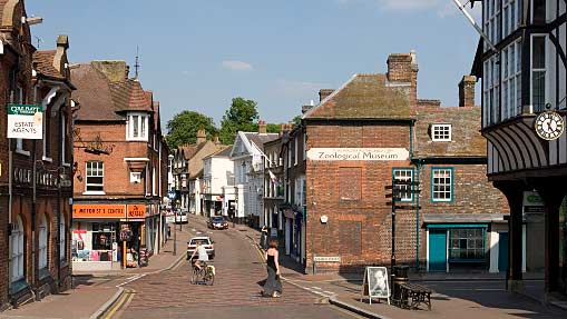
Tring
Tring is a market town and civil parish in the Borough of Dacorum, Hertfordshire, England. It is situated in a gap passing through the Chiltern Hills...
Tring Park Cricket Club Ground
Tring Park Cricket Club Ground currently known as London Road is a cricket ground in Tring, Hertfordshire. Tring Park Cricket Club have played on the...

Church of St Peter and St Paul, Tring
The Church of St Peter and St Paul is an Anglican church in Tring, Hertfordshire, England, and in the Diocese of St Albans. The building is Grade I listed...
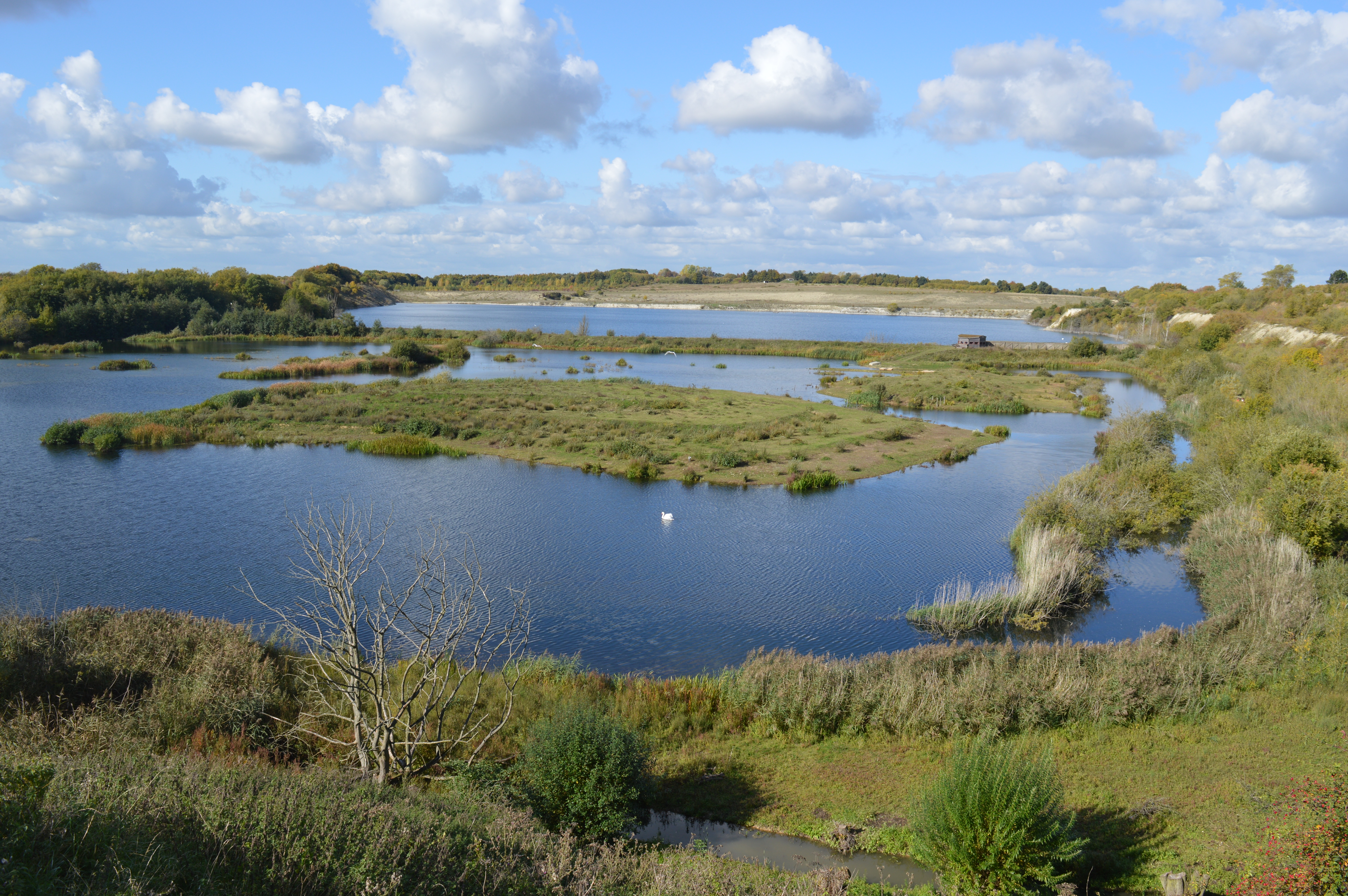
College Lake nature reserve
College Lake is a 65 hectare nature reserve in a former chalk quarry in Pitstone in the Aylesbury Vale district of Buckinghamshire. It is one of the flagship...
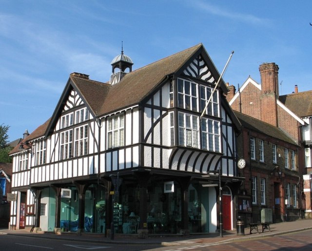
Tring Market House
Tring Market House is a municipal building in the High Street, Tring, Hertfordshire, England. The structure, which is the meeting place of Tring Town Council...
Tring Park School for the Performing Arts
Tring Park School or Tring Park School for the Performing Arts is an independent co-educational day and boarding school in Tring, Hertfordshire, England...
Nearby Amenities
Located within 500m of 51.807025,-0.657583Have you been to Mill, New?
Leave your review of Mill, New below (or comments, questions and feedback).