New Fletton
Settlement in Huntingdonshire
England
New Fletton

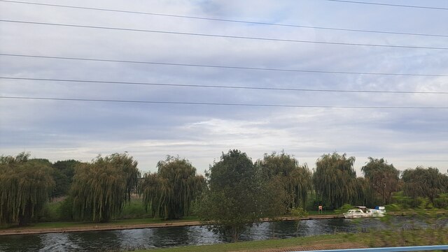
New Fletton is a residential area located in the district of Huntingdonshire in Cambridgeshire, England. It is situated to the south of the city of Peterborough and is part of the larger town of Fletton. The area is primarily residential, with a mix of housing types including terraced houses, semi-detached homes, and apartment buildings.
New Fletton is well-connected to surrounding areas by road and public transportation, with easy access to the A1(M) motorway and regular bus services running through the area. The nearby train station in Peterborough provides further transport options for residents.
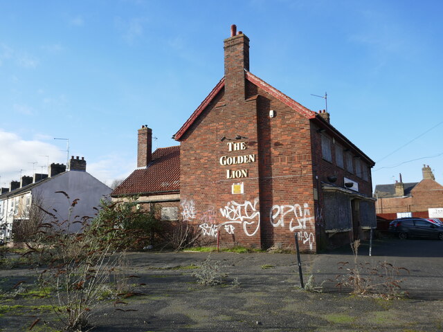
Local amenities in New Fletton include a number of shops, restaurants, and pubs, as well as schools and parks for recreation. The area is also home to several industrial estates, providing employment opportunities for residents.
Overall, New Fletton offers a convenient and pleasant living environment for its residents, with easy access to amenities, transportation options, and recreational facilities.
If you have any feedback on the listing, please let us know in the comments section below.
New Fletton Images
Images are sourced within 2km of 52.564083/-0.245081 or Grid Reference TL1997. Thanks to Geograph Open Source API. All images are credited.


New Fletton is located at Grid Ref: TL1997 (Lat: 52.564083, Lng: -0.245081)
Unitary Authority: Peterborough
Police Authority: Cambridgeshire
What 3 Words
///relay.belts.ruby. Near Peterborough, Cambridgeshire
Nearby Locations
Related Wikis

London Road Stadium
London Road, currently known as the Weston Homes Stadium for sponsorship reasons, is a multi-purpose stadium in Peterborough, England. The stadium is in...
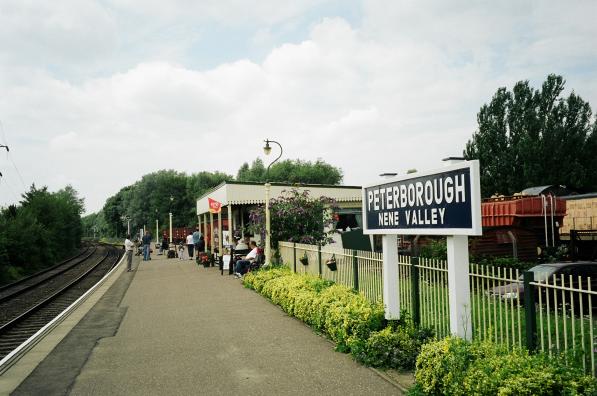
Peterborough Nene Valley railway station
Peterborough Nene Valley is a station on the Nene Valley Railway and is the current eastern terminus of the line. Situated adjacent to Railworld, the station...
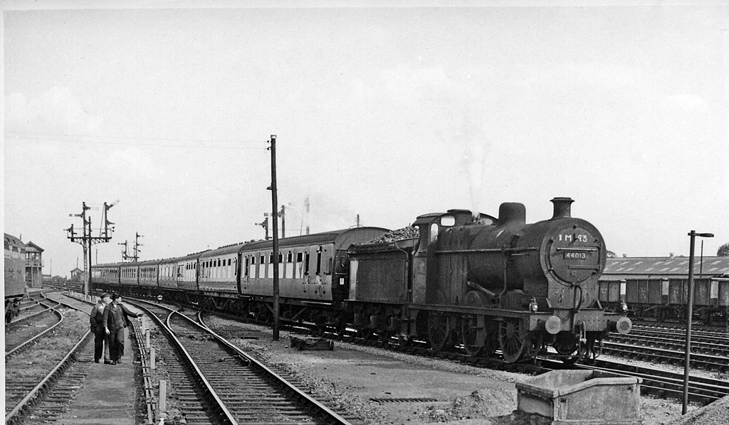
Peterborough East railway station
Peterborough East was a railway station in Peterborough, England. It was opened on 2 June 1845 and closed to passenger traffic on 6 June 1966. Located...
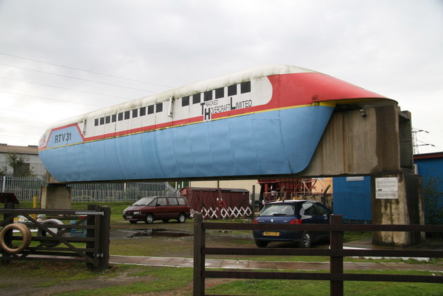
Railworld Wildlife Haven
Railworld Wildlife Haven is a charity in Peterborough which has a nature haven, a model railway and other exhibits. It is located on a landscaped former...
Nearby Amenities
Located within 500m of 52.564083,-0.245081Have you been to New Fletton?
Leave your review of New Fletton below (or comments, questions and feedback).