New England
Settlement in Somerset South Somerset
England
New England
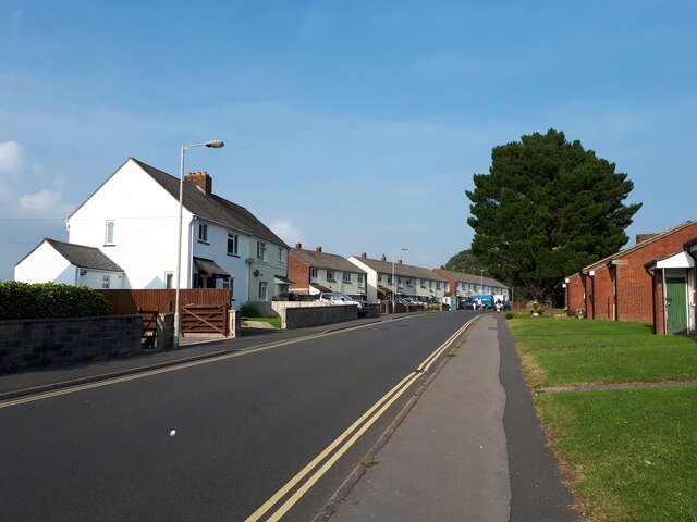
New England is a small village located in the county of Somerset, England. Situated in the southwest part of the country, it is nestled in a picturesque rural landscape. The village is known for its charm and tranquility, offering residents and visitors a peaceful retreat from the hustle and bustle of larger nearby towns.
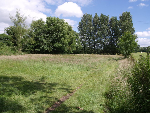
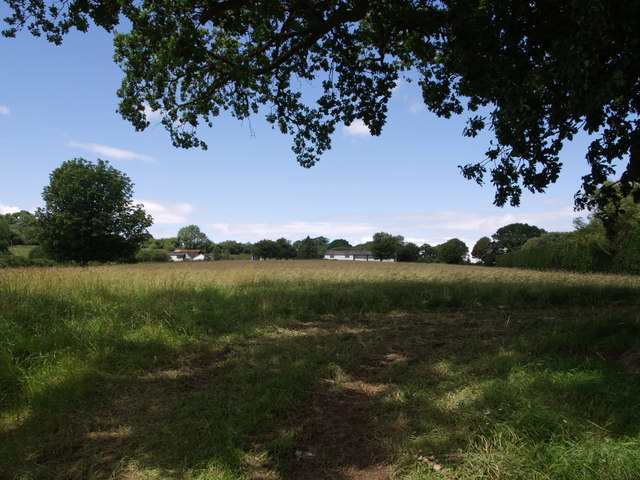
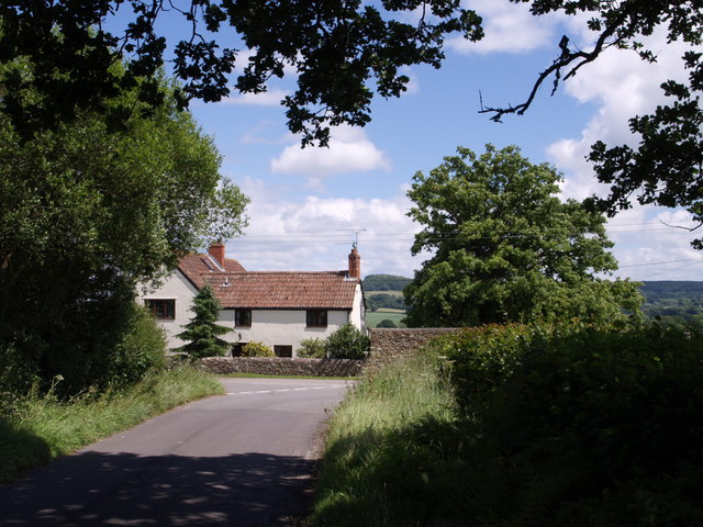
New England boasts a quaint and traditional English atmosphere, with its well-preserved historic buildings and narrow streets. The village is surrounded by rolling hills and green fields, creating an idyllic setting for countryside walks and outdoor activities. The local community takes pride in maintaining the village's character and preserving its heritage.
Despite its small size, New England offers a range of amenities to cater to the needs of its residents. These include a local pub, a village hall, and a small convenience store. The village is also home to a primary school, ensuring that families have access to educational facilities. Additionally, New England benefits from good transport links, with a local bus service connecting it to neighboring towns.
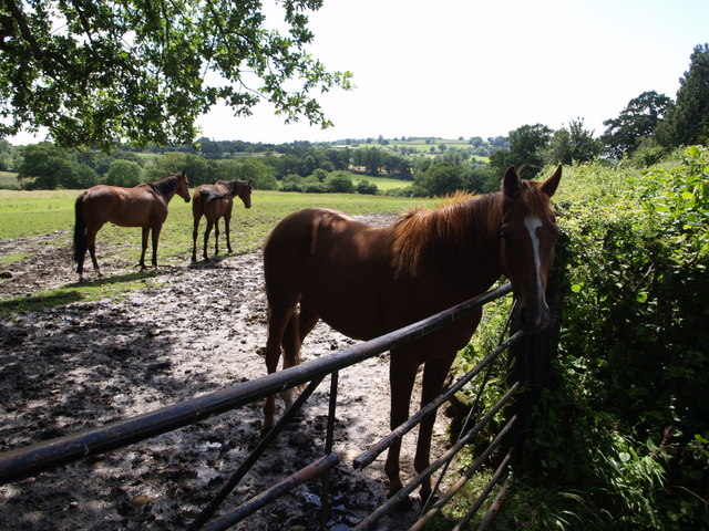
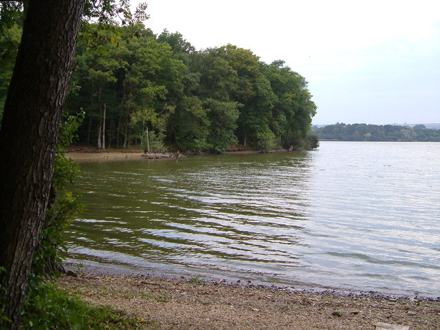
The surrounding area offers plenty of opportunities for exploration and leisure activities. Nature enthusiasts can enjoy walks along the nearby River Parrett or visit the nearby Somerset Levels, a stunning wetland area rich in wildlife. The village is also within easy reach of the Mendip Hills, a designated Area of Outstanding Natural Beauty, providing opportunities for hiking, cycling, and other outdoor pursuits.
In summary, New England, Somerset, provides a peaceful and charming village experience, surrounded by beautiful countryside and offering a close-knit community and a range of amenities for residents and visitors to enjoy.
If you have any feedback on the listing, please let us know in the comments section below.
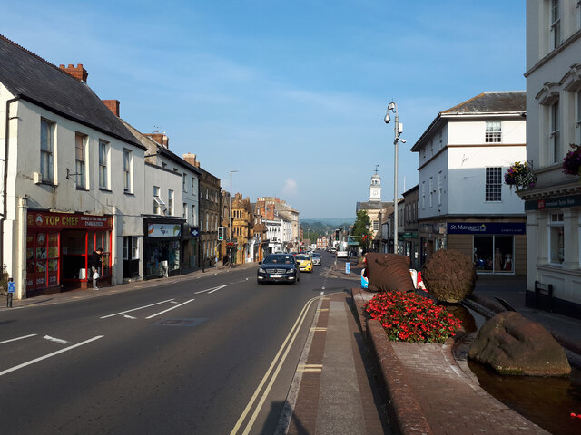
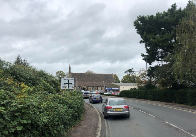
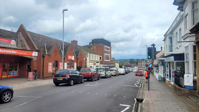
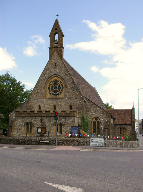
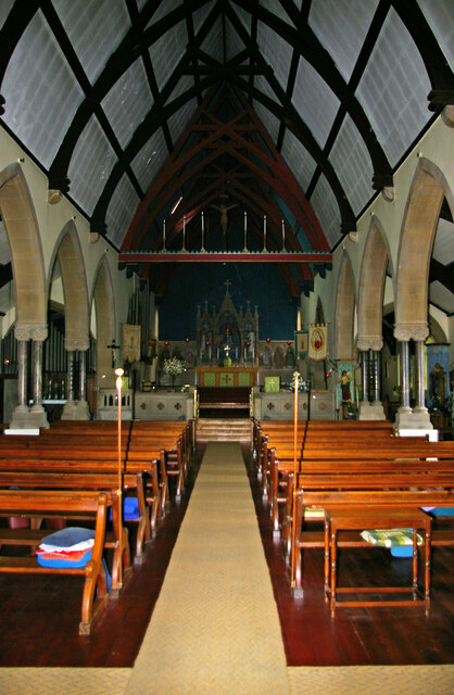
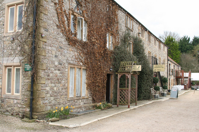
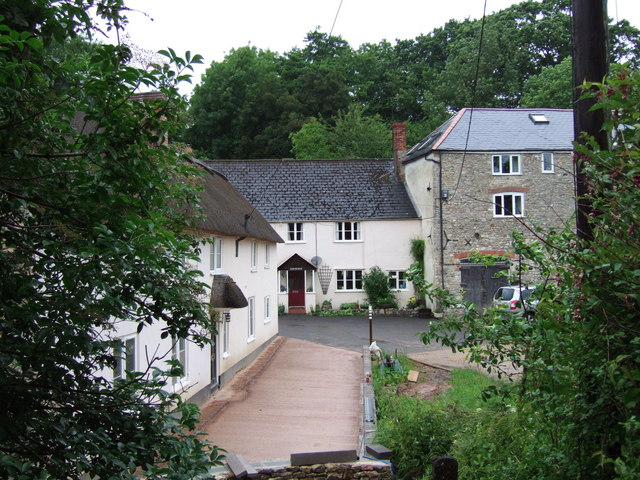
New England Images
Images are sourced within 2km of 50.889813/-2.9549217 or Grid Reference ST3210. Thanks to Geograph Open Source API. All images are credited.


New England is located at Grid Ref: ST3210 (Lat: 50.889813, Lng: -2.9549217)
Administrative County: Somerset
District: South Somerset
Police Authority: Avon and Somerset
What 3 Words
///wisdom.mirroring.prefect. Near Chard, Somerset
Nearby Locations
Related Wikis
Chard Reservoir
Chard Reservoir is a 36.97-hectare (91.4-acre) reservoir north east of Chard Somerset, England. It is owned and managed by South Somerset District Council...
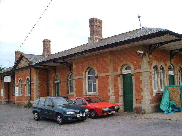
Chard Central railway station
Chard Central railway station was the principal railway station in Chard, Somerset, England. It was opened in 1866 and closed in 1962, during which time...

Woolhayes Farm
Woolhayes Farm (grid reference ST315109) is a 13.2 hectare (32.5 acre) biological Site of Special Scientific Interest east of Combe St Nicholas in Somerset...
Holyrood Academy
Welcome to Holyrood Academy Wiki page. Holyrood Academy, previously known as Holyrood Community School before September 2010, is a secondary school with...
Chard Town F.C.
Chard Town Football Club is a football club based in Chard, Somerset, England. Affiliated to the Somerset County FA, they are currently members of the...

Knowle St Giles
Knowle St Giles is a village and civil parish in the South Somerset district of Somerset, England, situated on the River Isle 2 miles (3 km) south of Ilminster...
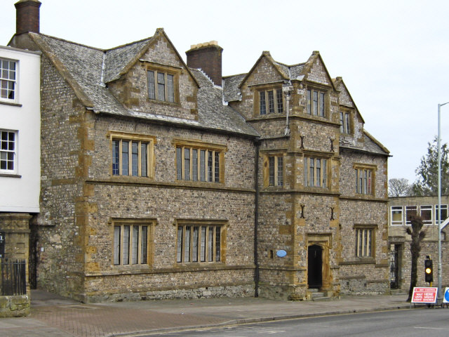
Chard School
Chard School is a coeducational private school for children ages 4 to 11 located in the town of Chard in the English county of Somerset. The school is...
Chard Rural District
Chard was a rural district in Somerset, England, from 1894 to 1974. It was created in 1894 under the Local Government Act 1894. In 1974 it was abolished...
Nearby Amenities
Located within 500m of 50.889813,-2.9549217Have you been to New England?
Leave your review of New England below (or comments, questions and feedback).