New Cross Gate
Settlement in Surrey
England
New Cross Gate
The requested URL returned error: 429 Too Many Requests
If you have any feedback on the listing, please let us know in the comments section below.
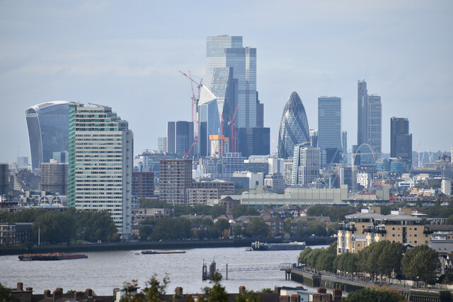
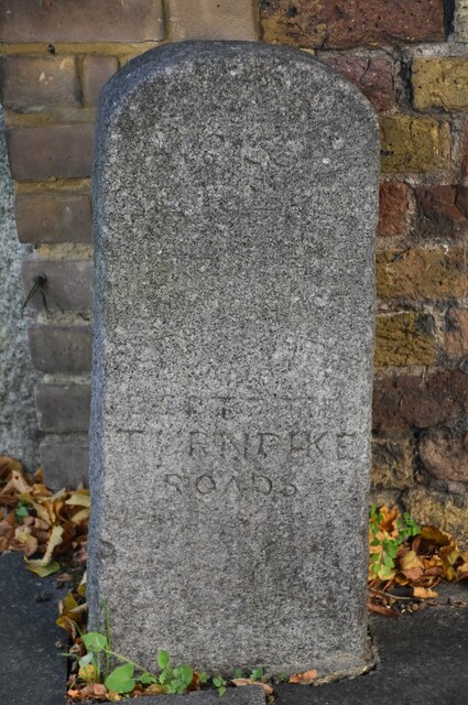
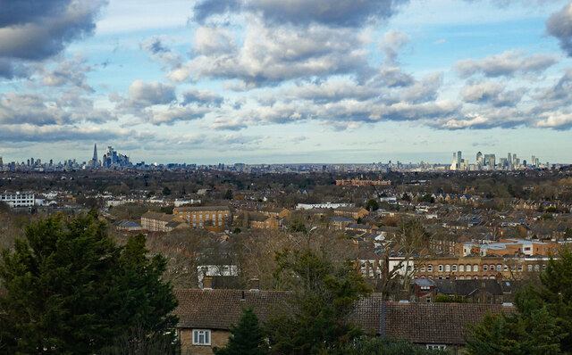
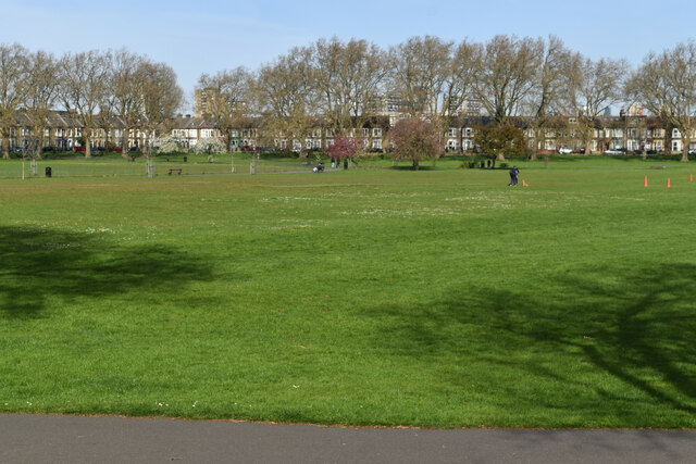
New Cross Gate Images
Images are sourced within 2km of 51.475142/-0.044551 or Grid Reference TQ3576. Thanks to Geograph Open Source API. All images are credited.


New Cross Gate is located at Grid Ref: TQ3576 (Lat: 51.475142, Lng: -0.044551)
Unitary Authority: Lewisham
Police Authority: Metropolitan
What 3 Words
///candy.rams.pram. Near Peckham, London
Nearby Locations
Related Wikis

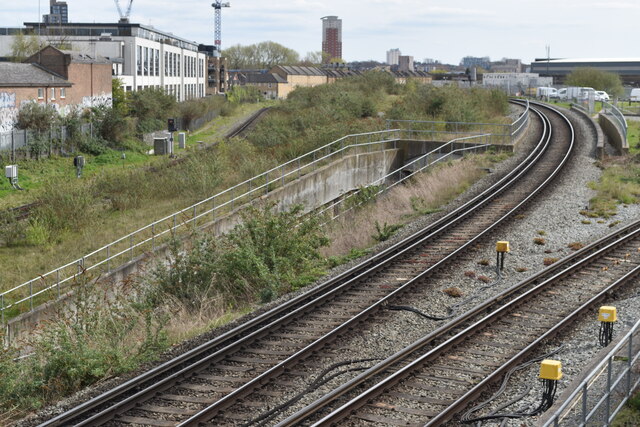
New Cross Gate railway station
New Cross Gate is a railway station in New Cross, London, on the Brighton Main Line and the London Overground. It is 2 miles 70 chains (2.88 miles, 4.63...
Hatcham
Hatcham was a manor and later a chapelry in what is now London, England. It largely corresponds to the area around New Cross in the London Borough of Lewisham...
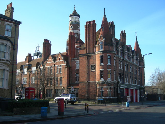
New Cross Fire Station
New Cross Fire Station is a Grade II listed building at 266 Queens Road, New Cross, London.It was built in 1893–94 and the architect was Robert Pearsall...

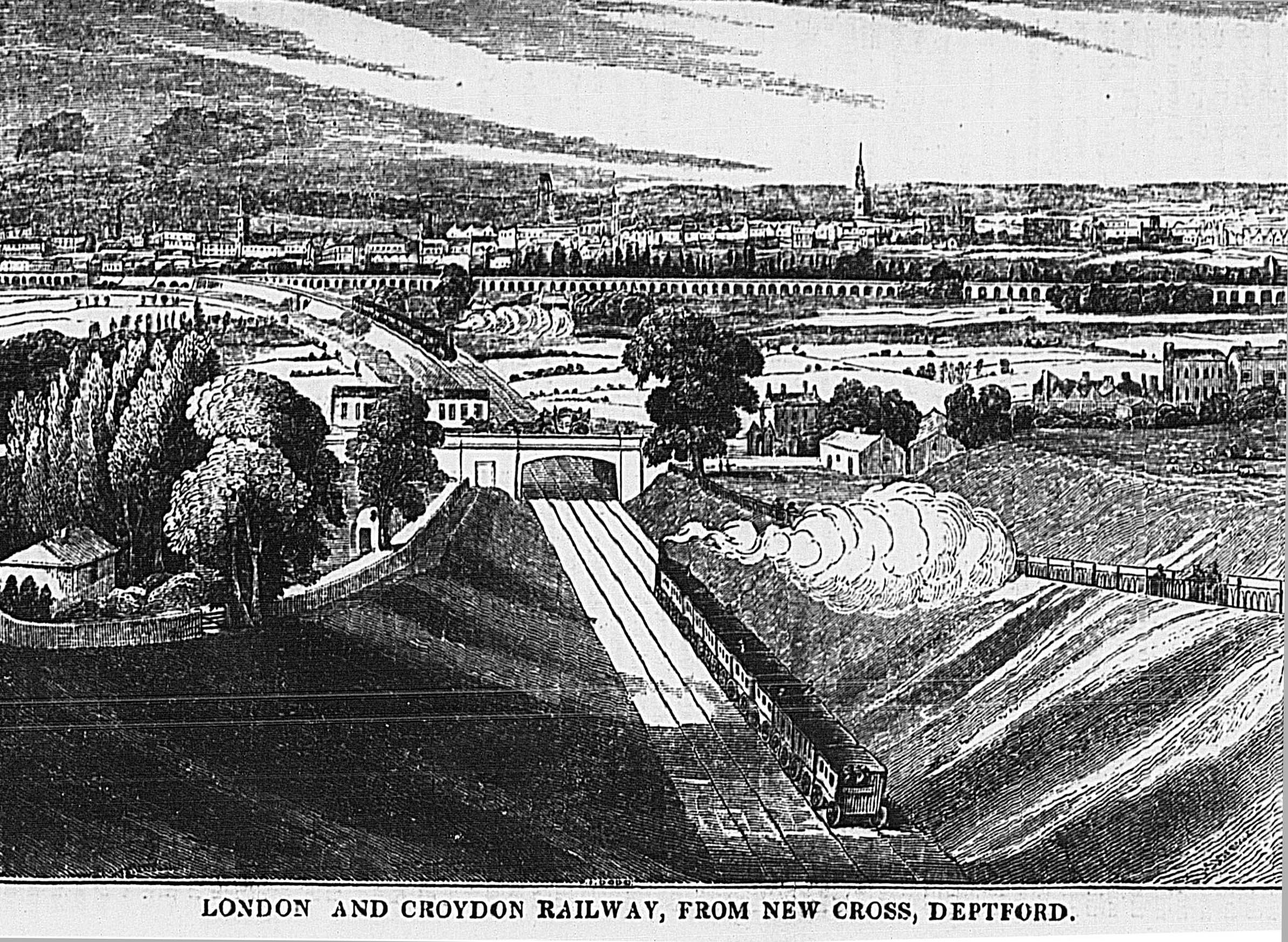
Metropolitan Borough of Deptford
The Metropolitan Borough of Deptford was a metropolitan borough in the County of London between 1900 and 1965, when it became part of the London Borough...
Nearby Amenities
Located within 500m of 51.475142,-0.044551Have you been to New Cross Gate?
Leave your review of New Cross Gate below (or comments, questions and feedback).