Cross, New

Settlement in Oxfordshire South Oxfordshire

England

Cross, New

Church of St. Peter and St. Paul's, Shiplake The church dates back to the 13th Century and is a Grade II* Listed Building.
Church of St. Peter and St. Paul's, Shiplake Credit: Simon Mortimer

Cross, New, Oxfordshire is a picturesque village located in the heart of Oxfordshire, England. Situated just a few miles south of the historic city of Oxford, this charming village offers a peaceful and idyllic setting for residents and visitors alike.

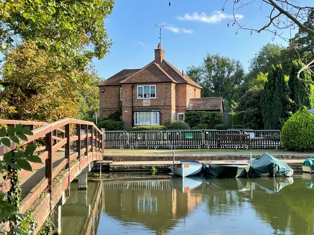
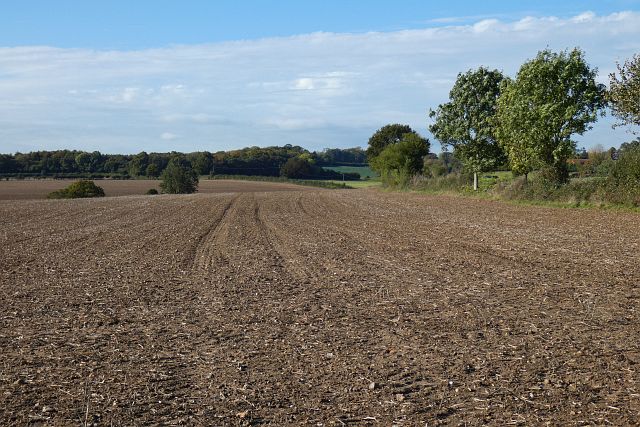
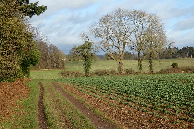
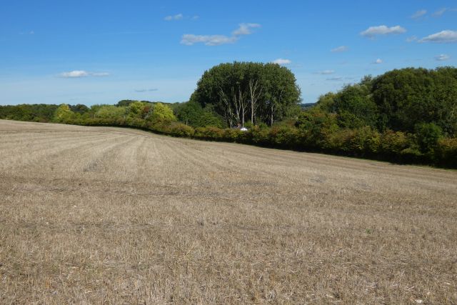
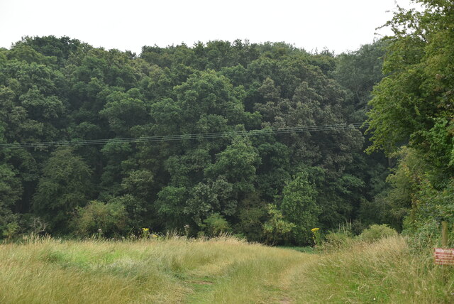
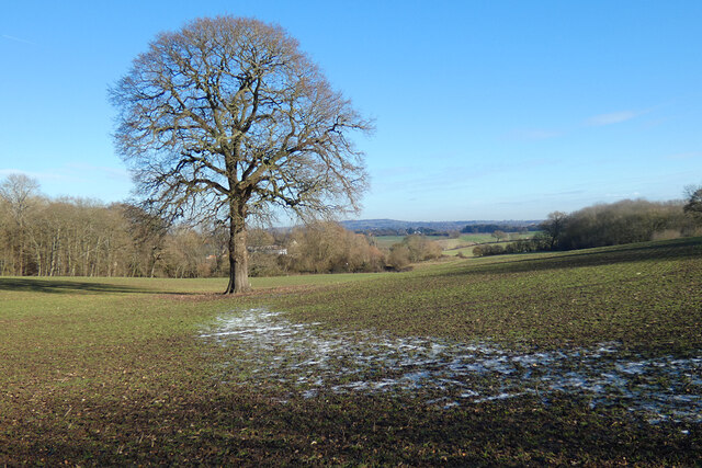
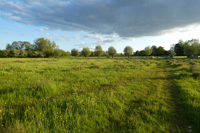
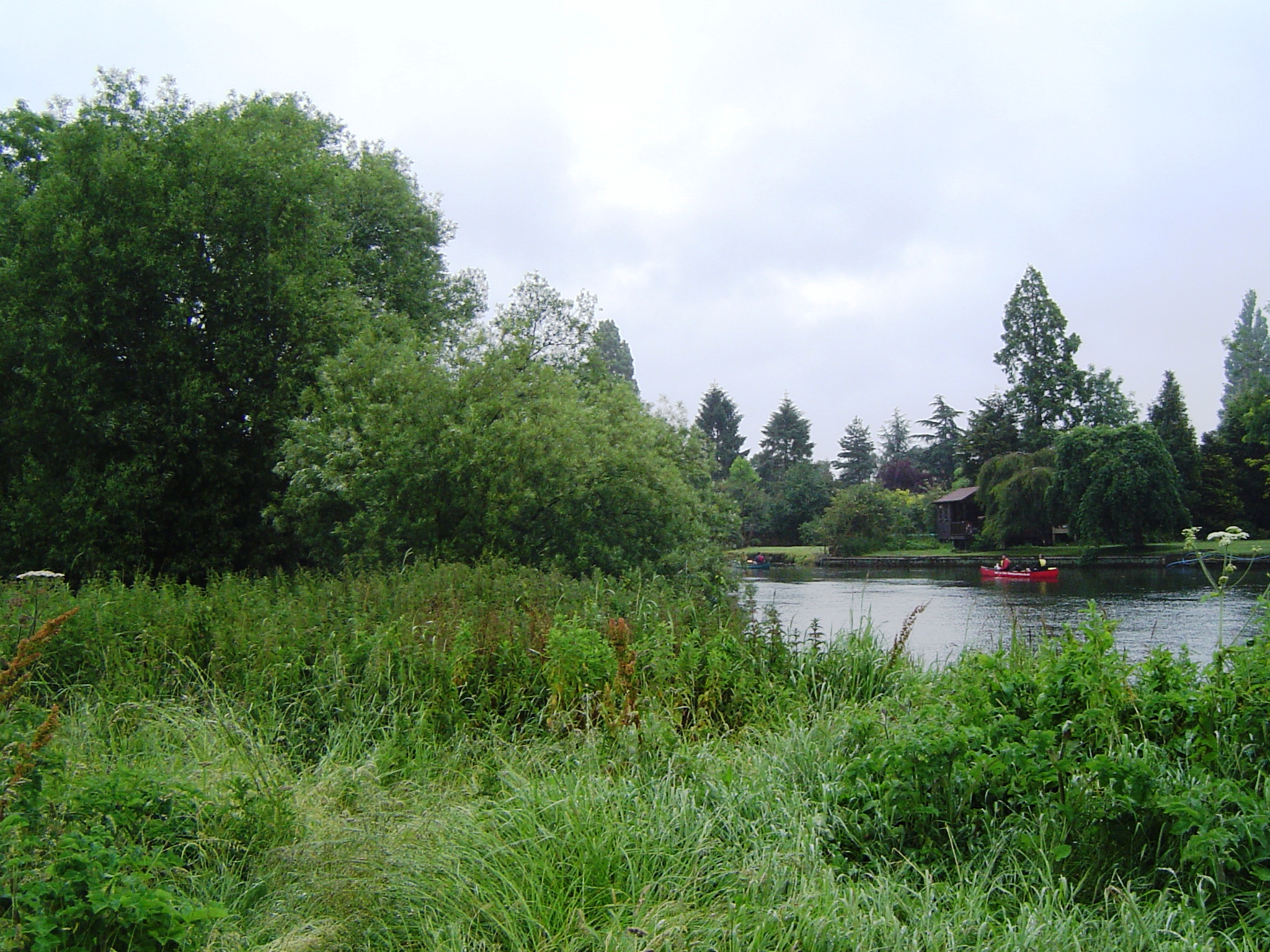
With a population of approximately 1,500 people, Cross, New is known for its tight-knit community and friendly atmosphere. The village is surrounded by lush green fields and rolling countryside, providing a beautiful backdrop for outdoor activities and leisurely walks.

Cross, New boasts a range of amenities for its residents, including a village hall, a primary school, and a local pub. The village hall serves as a community hub, hosting various events and activities throughout the year. The primary school provides excellent education opportunities for local children, while the pub offers a warm and inviting space for socializing and enjoying traditional British cuisine.

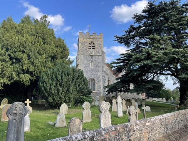
For those seeking cultural and historical experiences, Cross, New is conveniently located near several notable landmarks. The world-renowned University of Oxford is just a short drive away, offering access to museums, libraries, and stunning architectural wonders. Additionally, the nearby Blenheim Palace, a UNESCO World Heritage Site, is a must-visit destination for its grandeur and historical significance.

Overall, Cross, New, Oxfordshire is a charming village that combines the tranquility of rural living with easy access to nearby urban amenities. Its scenic beauty, strong community spirit, and close proximity to cultural attractions make it a highly desirable place to live or visit.

If you have any feedback on the listing, please let us know in the comments section below.
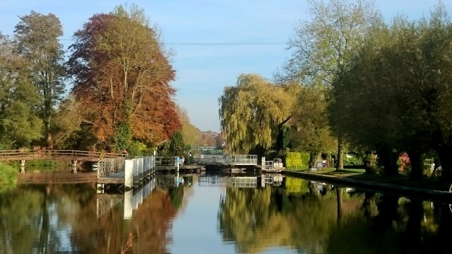
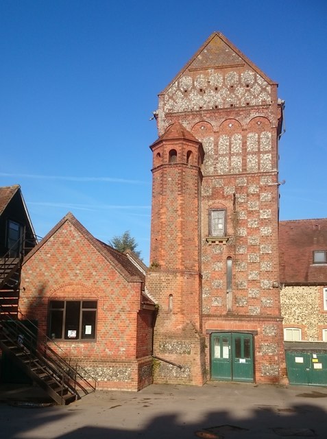
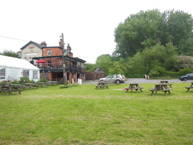
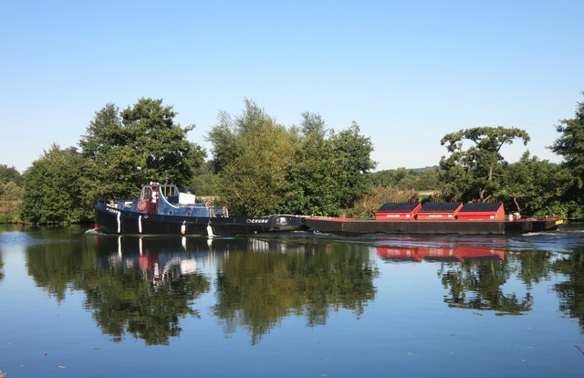
Cross, New Images

Images are sourced within 2km of 51.495843/-0.9066089 or Grid Reference SU7678. Thanks to Geograph Open Source API. All images are credited.

Church of St. Peter and St. Paul's, Shiplake The church dates back to the 13th Century and is a Grade II* Listed Building.
Church of St. Peter and St. Paul's, Shiplake
The church dates back to the 13th Century and is a Grade II* Listed Building.
Lock-keeper's house, Shiplake Lock The lock was first constructed in 1773 after the Thames Navigation Act of 1770.  The lock-keeper's house on the island was reconstructed in 1932.  This view is looking south from the path from Mill Lane.
Lock-keeper's house, Shiplake Lock
The lock was first constructed in 1773 after the Thames Navigation Act of 1770. The lock-keeper's house on the island was reconstructed in 1932. This view is looking south from the path from Mill Lane.
Farmland, Shiplake Arable land beside the Henley Road with Ash Copse seen beyond Hampstead Bottom.
Farmland, Shiplake
Arable land beside the Henley Road with Ash Copse seen beyond Hampstead Bottom.
Farmland, Shiplake The track here, at the edge of Lower Hailey Wood, is a permitted footpath.  A crop of oil-seed rape is to the right.
Farmland, Shiplake
The track here, at the edge of Lower Hailey Wood, is a permitted footpath. A crop of oil-seed rape is to the right.
Farmland, Dunsden
Farmland, Dunsden
Fir Grove
Fir Grove
Harpsden Rd
Harpsden Rd
Farmland, Dunsden An oak in arable land beside the footpath descending from Bints Farm to the A4155. Wet weather followed by cold is now in evidence.
Farmland, Dunsden
An oak in arable land beside the footpath descending from Bints Farm to the A4155. Wet weather followed by cold is now in evidence.
Farmland, Binfield Heath A cereal crop beside the footpath to the west of Shiplake Copse.
Farmland, Binfield Heath
A cereal crop beside the footpath to the west of Shiplake Copse.
Farmland, Shiplake A footpath through oil-seed rape on the approach to Shiplake Row. As always, Shiplake Farm have clearly reinstated the right of way.
Farmland, Shiplake
A footpath through oil-seed rape on the approach to Shiplake Row. As always, Shiplake Farm have clearly reinstated the right of way.
Pasture, Charvil The footpath from Loddon Drive approaches Thames Drive across damp fields grazed by cattle.
Pasture, Charvil
The footpath from Loddon Drive approaches Thames Drive across damp fields grazed by cattle.
Shiplake Lock
Shiplake Lock
Shiplake College water tower The water tower was built in 1899.  The architect was Ernest George, creator of the Golders Green Crematorium.  It is a Grade II listed building.

The tower once provided water to the nearby tithe barn, which is now the college's theatre. The tower has since been used by the college as a music studio.
Shiplake College water tower
The water tower was built in 1899. The architect was Ernest George, creator of the Golders Green Crematorium. It is a Grade II listed building. The tower once provided water to the nearby tithe barn, which is now the college's theatre. The tower has since been used by the college as a music studio.
The Flowing Spring This pub, which offers vegan and gluten-free items on its menu, is believed to be the only one with this name in England. The eponymous spring runs along the far side of the car park, which can be reached from Spring Lane. "Here the chalk of the Chiltern Hills slips below the gravel and silt of the Thames flood plain and the water is forced up through the spring. Prior to mains water, the pub used the spring for its water supply and, in previous centuries, the spring was hailed as a cure for eyesight problems. ... some say there is a tiny shrimp resident in the stream, not found anywhere else in the world." The oldest part of the pub dates from the late 17th century and it has been a pub since at least the 1840s. 
 <span class="nowrap"><a title="http://theflowingspringpub.co.uk/history.html" rel="nofollow ugc noopener" href="http://theflowingspringpub.co.uk/history.html">Link</a><img style="margin-left:2px;" alt="External link" title="External link - shift click to open in new window" src="https://s1.geograph.org.uk/img/external.png" width="10" height="10"/></span>
The Flowing Spring
This pub, which offers vegan and gluten-free items on its menu, is believed to be the only one with this name in England. The eponymous spring runs along the far side of the car park, which can be reached from Spring Lane. "Here the chalk of the Chiltern Hills slips below the gravel and silt of the Thames flood plain and the water is forced up through the spring. Prior to mains water, the pub used the spring for its water supply and, in previous centuries, the spring was hailed as a cure for eyesight problems. ... some say there is a tiny shrimp resident in the stream, not found anywhere else in the world." The oldest part of the pub dates from the late 17th century and it has been a pub since at least the 1840s. LinkExternal link
"Churn" at Shiplake The Environment Agency's tug "Churn" taking a barge down river past Shiplake.
Agency vessels are all named after Thames tributaries. The Churn is a Cotswold river which flows through Cirencester.
"Churn" at Shiplake
The Environment Agency's tug "Churn" taking a barge down river past Shiplake. Agency vessels are all named after Thames tributaries. The Churn is a Cotswold river which flows through Cirencester.
Goal Posts at Shiplake Clearly marked just in case you thought you were at Twickenham.
The pitch is on the riverside flood plain which narrows to nothing just beyond here on the left bank as the Chiltern Hills come right down to the river..
Buildings in Shiplake village can be seen through the trees.
Goal Posts at Shiplake
Clearly marked just in case you thought you were at Twickenham. The pitch is on the riverside flood plain which narrows to nothing just beyond here on the left bank as the Chiltern Hills come right down to the river.. Buildings in Shiplake village can be seen through the trees.
Riverside Meadow near Shiplake The Thames flood plain north of the river is not very wide just here. The higher ground of the Chiltern Hills is never far away, marked here by the trees in the background.
Riverside Meadow near Shiplake
The Thames flood plain north of the river is not very wide just here. The higher ground of the Chiltern Hills is never far away, marked here by the trees in the background.
Hops in the Hedge Gone literally to seed at this time of year, a spray of wild hops straggles up a dead stalk beside the Thames path.
Beyond is the flat meadow which is all along here between the river and the lower slopes of the Chiltern Hills visible in the background.
Hops in the Hedge
Gone literally to seed at this time of year, a spray of wild hops straggles up a dead stalk beside the Thames path. Beyond is the flat meadow which is all along here between the river and the lower slopes of the Chiltern Hills visible in the background.
Show me another place!

Cross, New is located at Grid Ref: SU7678 (Lat: 51.495843, Lng: -0.9066089)

Administrative County: Oxfordshire

District: South Oxfordshire

Police Authority: Thames Valley

What 3 Words

///cardinal.safest.variation. Near Sonning, Berkshire

Related Wikis

Shiplake Vikings Rowing Club

Shiplake Vikings Rowing Club is a rowing club based on the River Thames at Shiplake College Boathouse, Henley-on-Thames, Oxfordshire. == History == The...

Shiplake College Boat Club

Shiplake College Boat Club is a rowing club based on the River Thames at Shiplake College Boathouse, Henley-on-Thames, Oxfordshire. == History == Shiplake...

The Lynch

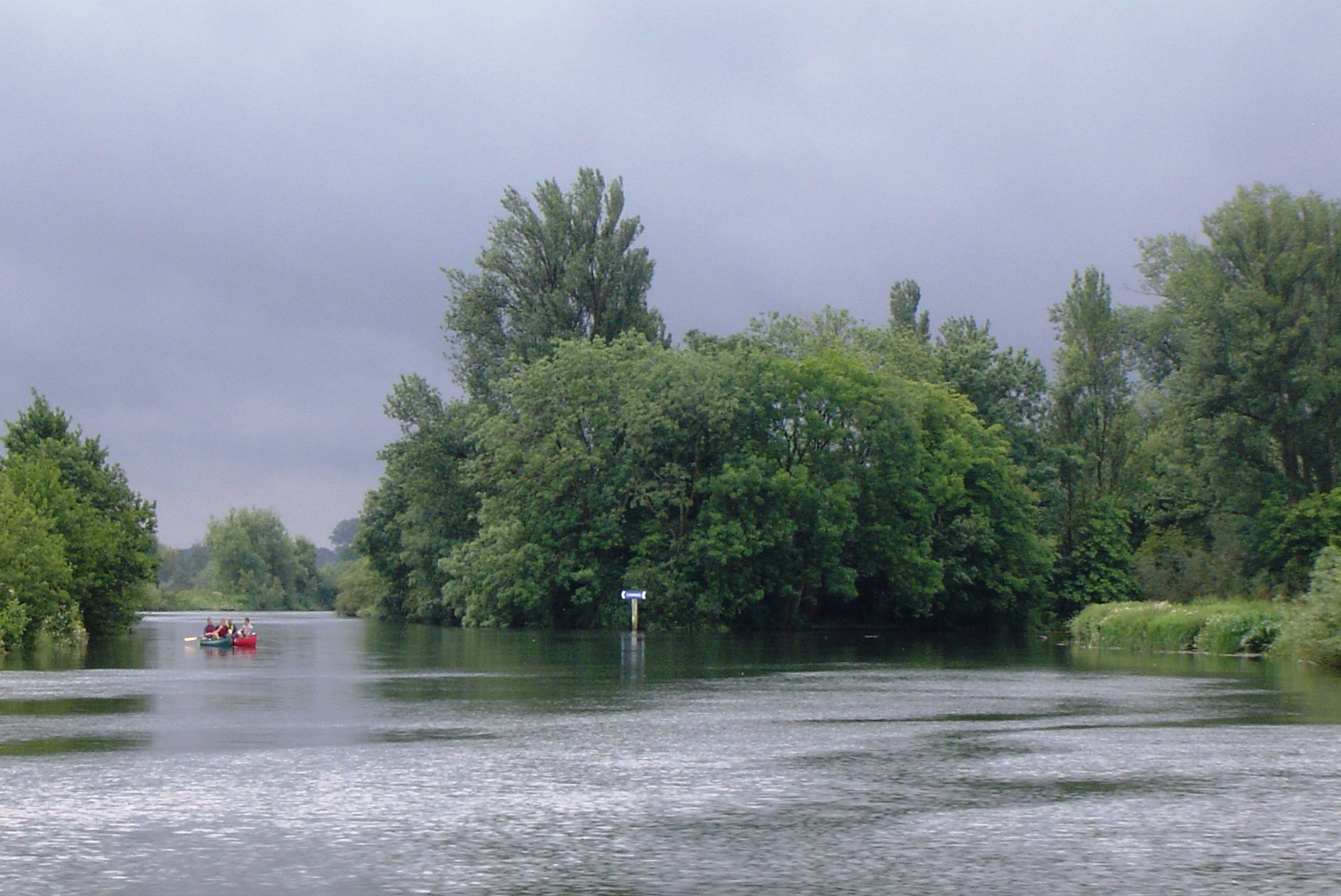
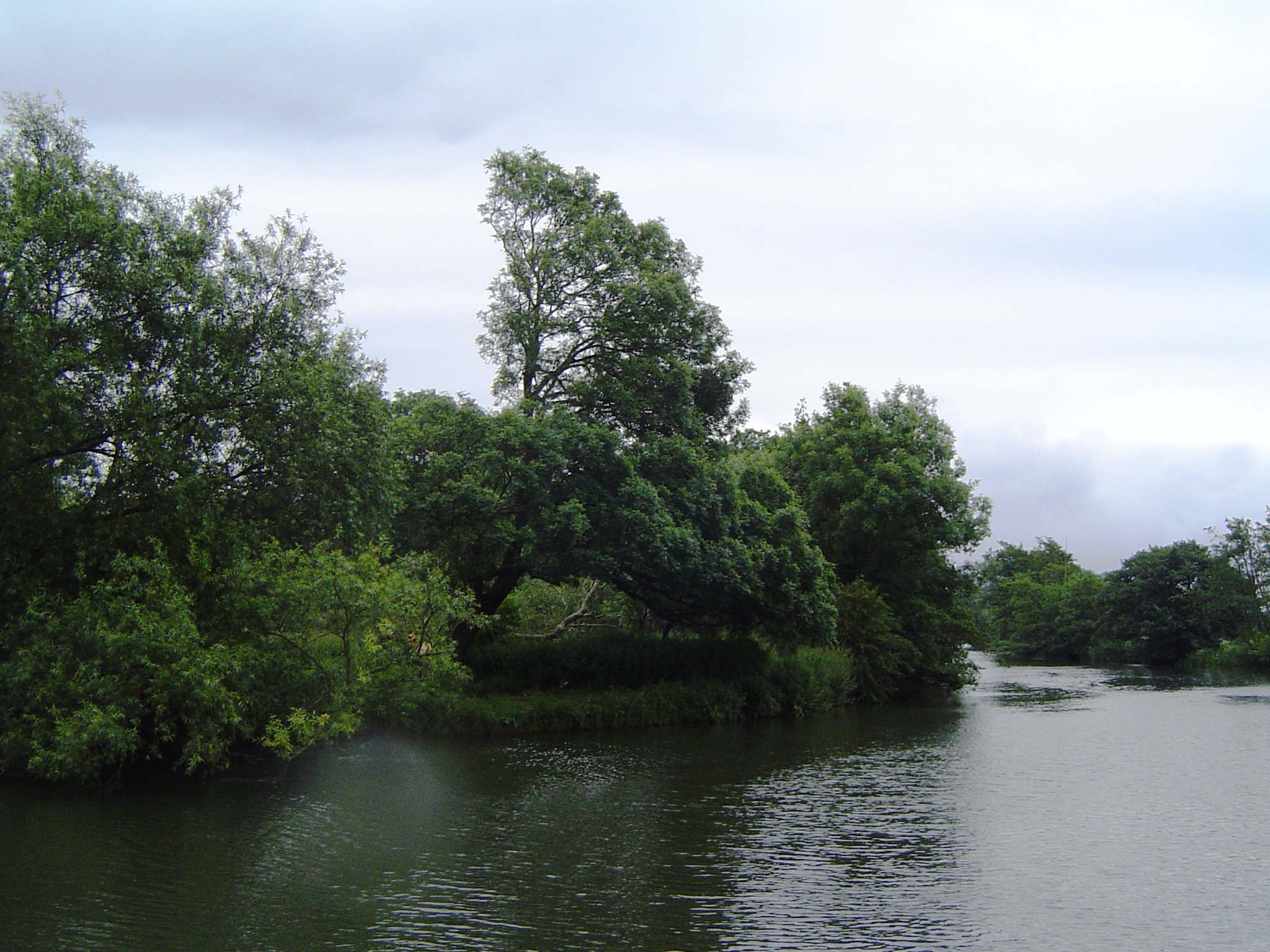
The Lynch is an island in the River Thames in Berkshire, England. It is on the reach above Shiplake Lock near Lower Shiplake.The island is large and triangular...

Shiplake College

Shiplake College is a private boarding and day school in Shiplake, by the River Thames, just outside Henley-on-Thames, England. The school, with 520 pupils...

Shiplake Court

Shiplake Court was a historic manor house near Henley-on-Thames in Oxfordshire, England. In the sixteenth century, it was the residence of Edmund Plowden...

Hallsmead Ait

Hallsmead Ait is an island in the River Thames in Berkshire, England. It is on the reach above Shiplake Lock near Lower Shiplake.The island is large and...
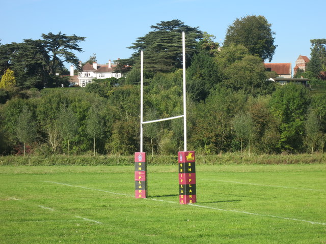
Shiplake

Shiplake consists of three settlements: Shiplake, Shiplake Cross and Lower Shiplake. Together these villages form a civil parish situated beside the River...

Buck Ait

Buck Ait is an island in the River Thames in Oxfordshire, England. It is on the reach above Shiplake Lock near Sonning.The island is uninhabited and tree...

Nearby Amenities

Located within 500m of 51.495843,-0.9066089
Maxspeed: 30 mph
Source: gps
Traffic Sign: maxspeed
Lat/Long: 51.497225/-0.902933
Barrier: stile
Bicycle: no
Foot: yes
Material: wood
Stile: stepover
Lat/Long: 51.4981681/-0.9112927
Warren Hill
Natural: peak
Lat/Long: 51.4960384/-0.9010003
The data included in this document is from www.openstreetmap.org. The data is made available under ODbL.

Have you been to Cross, New?

Leave your review of Cross, New below (or comments, questions and feedback).