New Buckenham
Settlement in Norfolk Breckland
England
New Buckenham
New Buckenham is a charming village situated in the county of Norfolk, England. It lies approximately 15 miles southwest of the city of Norwich and is nestled amongst the rolling countryside of the Breckland region. With a population of around 700 residents, it exudes a close-knit and tranquil atmosphere.
The village is renowned for its rich historical heritage, particularly its medieval past. The dominant feature is the well-preserved New Buckenham Castle, a motte-and-bailey fortress dating back to the 12th century. The castle's imposing ruins offer visitors a glimpse into the region's turbulent history, and it serves as a popular tourist attraction.
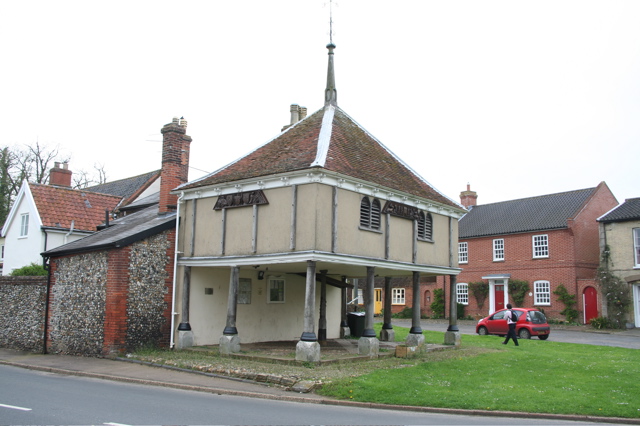
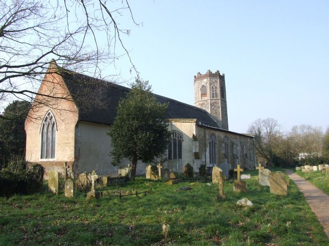
New Buckenham also boasts a picturesque market square, flanked by traditional thatched cottages and historic buildings. The village is home to the beautiful All Saints Church, a Grade I listed building with a striking Norman tower. The church's architecture and interior features, including its stained glass windows and medieval stone carvings, are of immense historical and cultural significance.
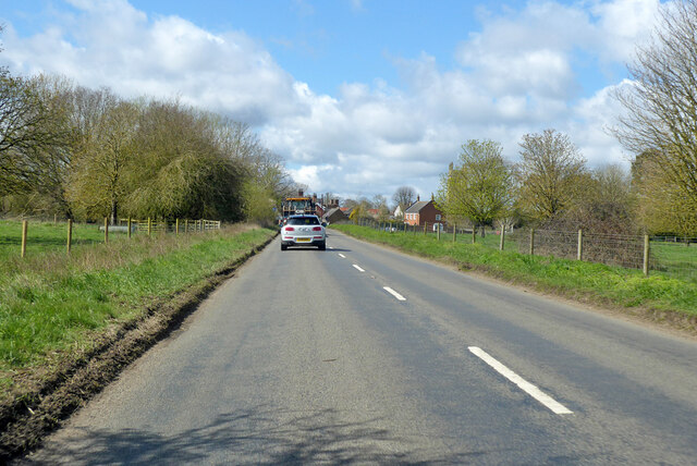
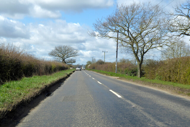
The village is well-served by local amenities, including a village hall, primary school, and a couple of cozy pubs offering a warm welcome to locals and visitors alike. The surrounding countryside provides ample opportunities for scenic walks and outdoor pursuits, making it a haven for nature enthusiasts.
New Buckenham’s idyllic setting, rich history, and friendly community make it a desirable place to live or visit for those seeking a peaceful and quintessentially English experience.
If you have any feedback on the listing, please let us know in the comments section below.
New Buckenham Images
Images are sourced within 2km of 52.471723/1.073215 or Grid Reference TM0890. Thanks to Geograph Open Source API. All images are credited.


New Buckenham is located at Grid Ref: TM0890 (Lat: 52.471723, Lng: 1.073215)
Administrative County: Norfolk
District: Breckland
Police Authority: Norfolk
What 3 Words
///meanwhile.securing.widgets. Near Banham, Norfolk
Nearby Locations
Related Wikis
New Buckenham
New Buckenham is a village and civil parish in the English county of Norfolk. The parish covers an area of 1.73 km2 (0.67 sq mi) and had a population of...

Buckenham Castle
Old Buckenham Castle and Buckenham Castle are two castles adjacent respectively to the villages of Old Buckenham and New Buckenham, Norfolk, England....

New Buckenham Common
New Buckenham Common is a common of which 20.9 hectares (52 acres) is a biological Site of Special Scientific Interest, located in New Buckenham, Norfolk...
Old Buckenham
Old Buckenham is a village and civil parish in the English county of Norfolk, approximately 29 km (18 mi) south-west of Norwich. It covers an area of 20...

Old Buckenham High School
Old Buckenham High School is a co-educational secondary school located in Old Buckenham in the English county of Norfolk. == History == The school was...
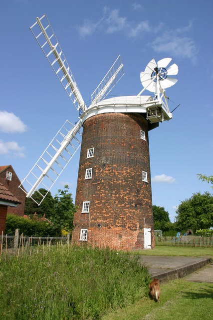
Old Buckenham Windmill
Old Buckenham Windmill is a tower flour mill which stands in the village of Old Buckenham, Norfolk, England. It is a Grade II* listed building, notable...

Old Buckenham Priory
Old Buckenham Priory was an Augustinian priory built on the site of Old Buckenham Castle at Old Buckenham in Norfolk, England. The priory was founded circa...
Old Buckenham Hall Cricket Ground
Old Buckenham Hall is a cricket ground in Old Buckenham, near Attleborough, Norfolk. == History == The estate at Old Buckenham Hall was purchased by the...
Nearby Amenities
Located within 500m of 52.471723,1.073215Have you been to New Buckenham?
Leave your review of New Buckenham below (or comments, questions and feedback).