Brimington, New
Settlement in Derbyshire Chesterfield
England
Brimington, New

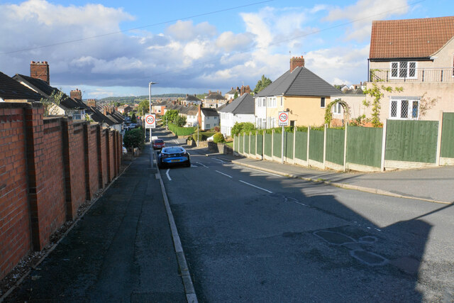
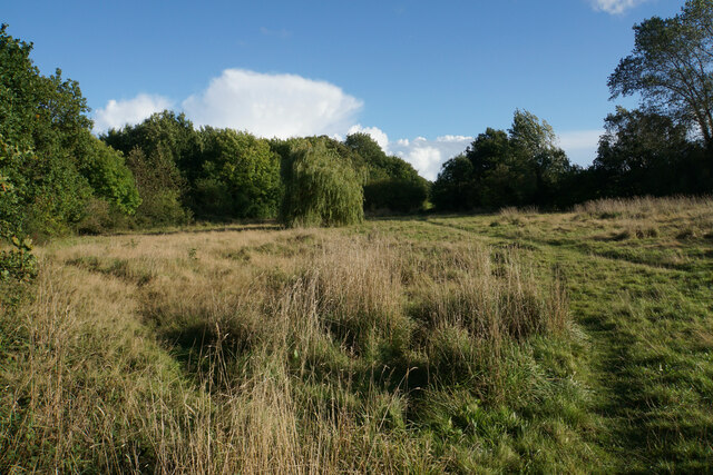
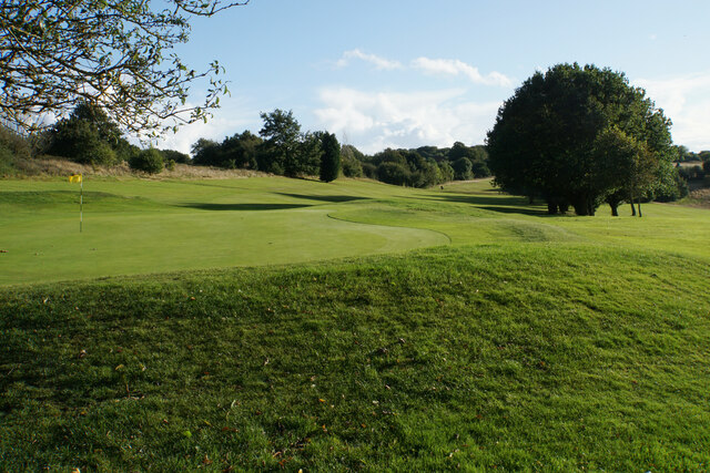
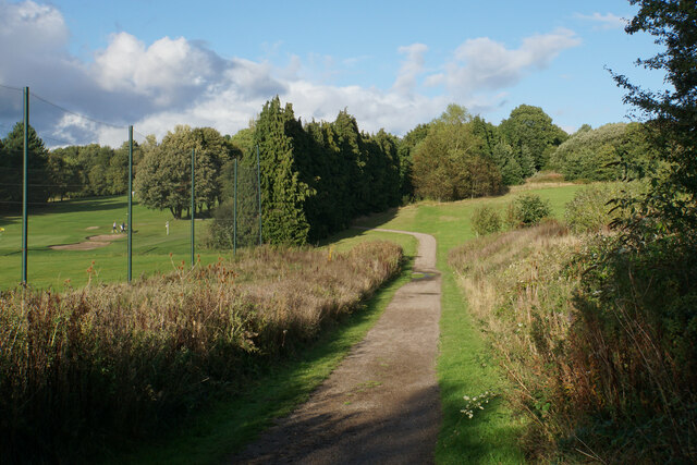
Brimington is a small village located in the county of Derbyshire, England. Situated just three miles east of Chesterfield, it forms part of the Bolsover district. The village is nestled in the picturesque Derbyshire countryside, surrounded by rolling hills and green fields.
Historically, Brimington was a mining community, with coal mining being the dominant industry in the area during the 19th and 20th centuries. However, with the decline of the coal industry, Brimington has transformed into a residential area, offering a peaceful and tranquil environment for its residents.
The village features a range of amenities to cater to the needs of its population. It is home to several shops, including a convenience store, a post office, and a few local businesses. Additionally, there are a couple of pubs and restaurants where locals and visitors can enjoy a meal or a drink.
Brimington is well-connected to nearby towns and cities, making it an ideal location for commuters. The village benefits from excellent transport links, with regular bus services to Chesterfield and other neighboring areas. The M1 motorway is also easily accessible, providing convenient access to major cities such as Sheffield, Nottingham, and Derby.
In terms of education, Brimington has a primary school that serves the local community. For secondary education, students typically attend schools in nearby Chesterfield.
Overall, Brimington offers a peaceful and scenic place to live, with a close-knit community and convenient access to amenities and transport links.
If you have any feedback on the listing, please let us know in the comments section below.
Brimington, New Images
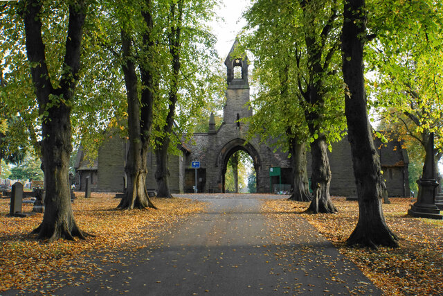
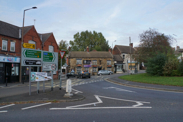
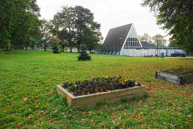
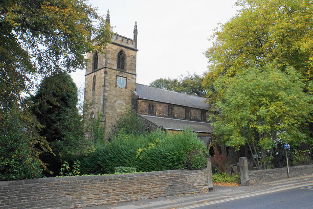
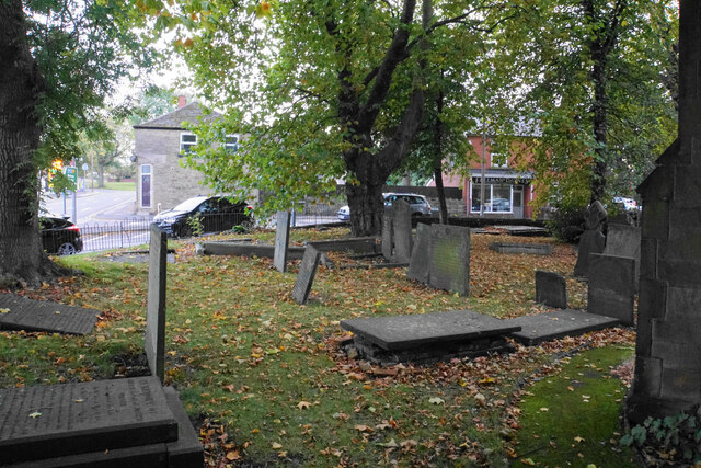
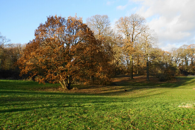
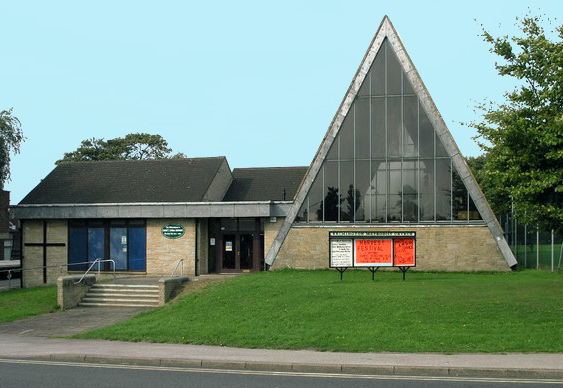
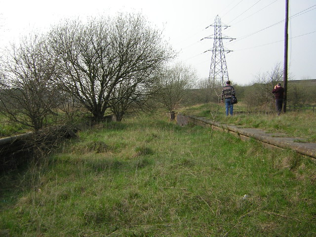
Images are sourced within 2km of 53.256129/-1.391388 or Grid Reference SK4073. Thanks to Geograph Open Source API. All images are credited.


Brimington, New is located at Grid Ref: SK4073 (Lat: 53.256129, Lng: -1.391388)
Administrative County: Derbyshire
District: Chesterfield
Police Authority: Derbyshire
What 3 Words
///manage.tracks.home. Near Chesterfield, Derbyshire
Nearby Locations
Related Wikis
Brimington
Brimington is a large village and civil parish in the Borough of Chesterfield in Derbyshire, England. The population of the parish taken at the 2011 census...

Hollingwood
Hollingwood is a small village approximately four miles north east of Chesterfield, Derbyshire, England. == Description == Hollingwood and Barrow Hill...

Chesterfield (UK Parliament constituency)
Chesterfield is a constituency represented in the House of Commons of the UK Parliament since 2010 by Toby Perkins of the Labour Party. == Constituency... ==

Inkersall
Inkersall and Inkersall Green (informally referred to by local residents as Inky) are areas of settlement in Derbyshire, England. They are located south...
Staveley Works railway station
Staveley Works railway station was on the outskirts of the town of Staveley, Derbyshire. The station was on the Great Central Chesterfield Loop which ran...

Sheepbridge and Brimington railway station
Sheepbridge and Brimington railway station was on the outskirts of the town of Chesterfield, Derbyshire. The station was on the Great Central Chesterfield...
Tapton, Derbyshire
Tapton is a suburb of Chesterfield, in the county of Derbyshire, England. It is located along the Brimington Road B6543, between Chesterfield town centre...

Whittington railway station
Whittington railway station is a former railway station on the southern edge of New Whittington, Derbyshire, England. == History == The original Whittington...
Related Videos

Chesterfield Canal Walk, English Countryside 4K
https://www.buymeacoffee.com/Daveswalks All support is hugely appreciated and it helps me keep the channel going! No talking ...

360° Virtual Reality walking tour around the Rail Ale beer Festival, Barrow Hill, Chesterfield
This is a short Virtual reality walking tour around the Rail Ale beer Festival, Barrow Hill, Chesterfield Gives you an idea of the ...

POOLSBROOK CAMC site and a walk to the Chesterfield Canal
So welcome to our first vlog!!!! Its taken some bravery on both our parts to pluck some courage to do this, but we really enjoyed the ...

Nearby Amenities
Located within 500m of 53.256129,-1.391388Have you been to Brimington, New?
Leave your review of Brimington, New below (or comments, questions and feedback).