Brighton, New
Settlement in Hampshire Havant
England
Brighton, New

Brighton, New Hampshire is a small town located in Rockingham County, in the southern part of the state. With a population of around 2,500 residents, it is known for its picturesque landscapes, friendly community, and rich history.
The town is situated in a rural setting, surrounded by rolling hills, dense forests, and beautiful lakes. This natural environment offers residents and visitors ample opportunities for outdoor activities such as hiking, fishing, and boating. The town's location also provides stunning views during all seasons, with vibrant foliage in the fall and snow-covered landscapes in the winter.
Despite its small size, Brighton has a strong sense of community. The town hosts various events throughout the year, including festivals, parades, and farmers' markets, which bring people together and foster a lively atmosphere. Residents take pride in their town and are actively involved in local organizations and volunteer groups.
Brighton has a rich history that is showcased in its architecture and landmarks. The town has several well-preserved historic buildings, including the Brighton Town Hall, which dates back to the 19th century. Visitors can also explore historical sites such as the Brighton Historical Museum, which offers a glimpse into the town's past.
While Brighton may be small, it offers a peaceful and close-knit community, stunning natural beauty, and a deep connection to its history. It is a charming destination for those seeking a quiet and picturesque getaway in the heart of New Hampshire.
If you have any feedback on the listing, please let us know in the comments section below.
Brighton, New Images
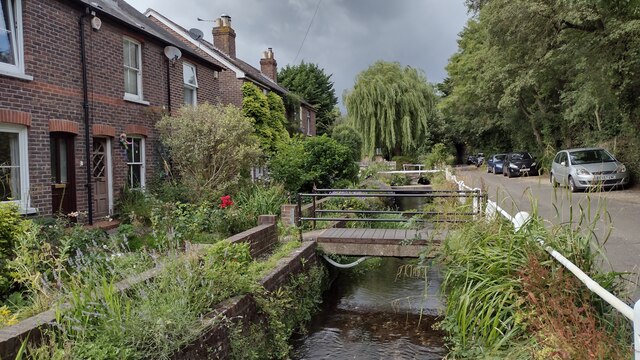
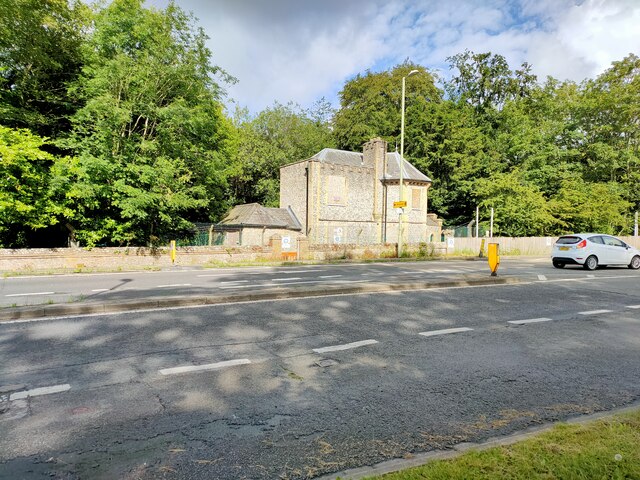
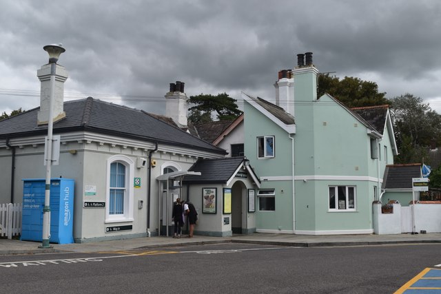
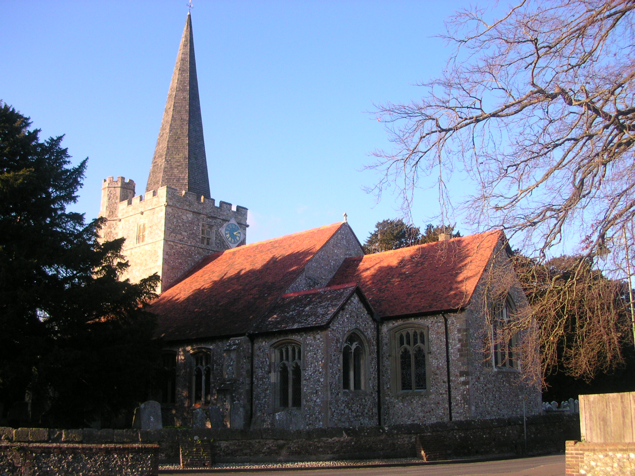
Images are sourced within 2km of 50.858204/-0.933661 or Grid Reference SU7507. Thanks to Geograph Open Source API. All images are credited.


Brighton, New is located at Grid Ref: SU7507 (Lat: 50.858204, Lng: -0.933661)
Administrative County: Hampshire
District: Havant
Police Authority: Hampshire
What 3 Words
///laying.stir.barks. Near Emsworth, Hampshire
Nearby Locations
Related Wikis
Westbourne, West Sussex
Westbourne is a village, civil parish and electoral ward in the Chichester District of West Sussex, England. It is located 0.5 miles (0.80 km) north east...
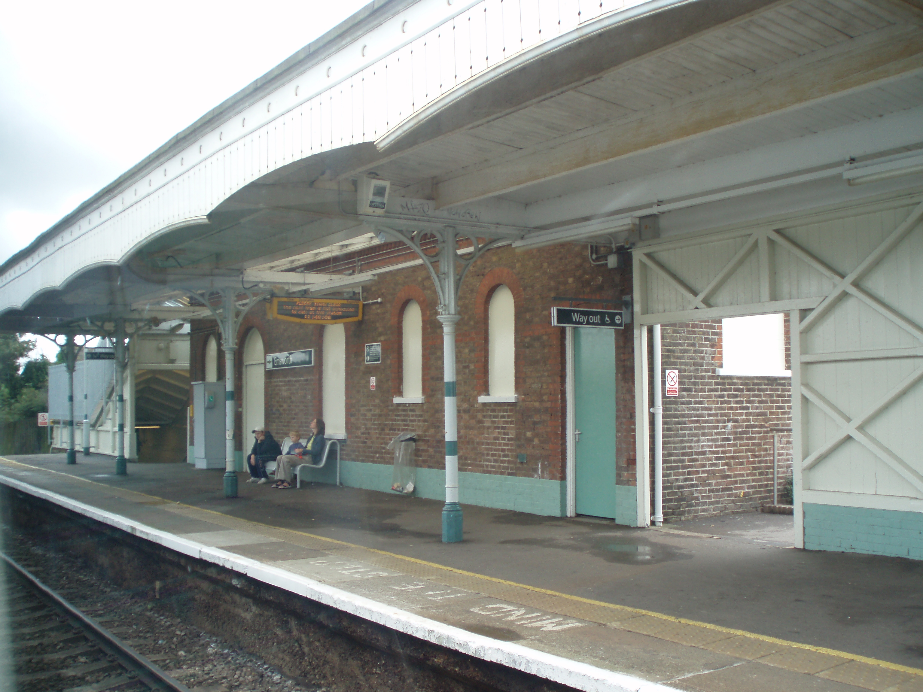
Emsworth railway station
Emsworth railway station serves the small town of Emsworth, on the Hampshire side of the border between Hampshire and West Sussex, in southern England...
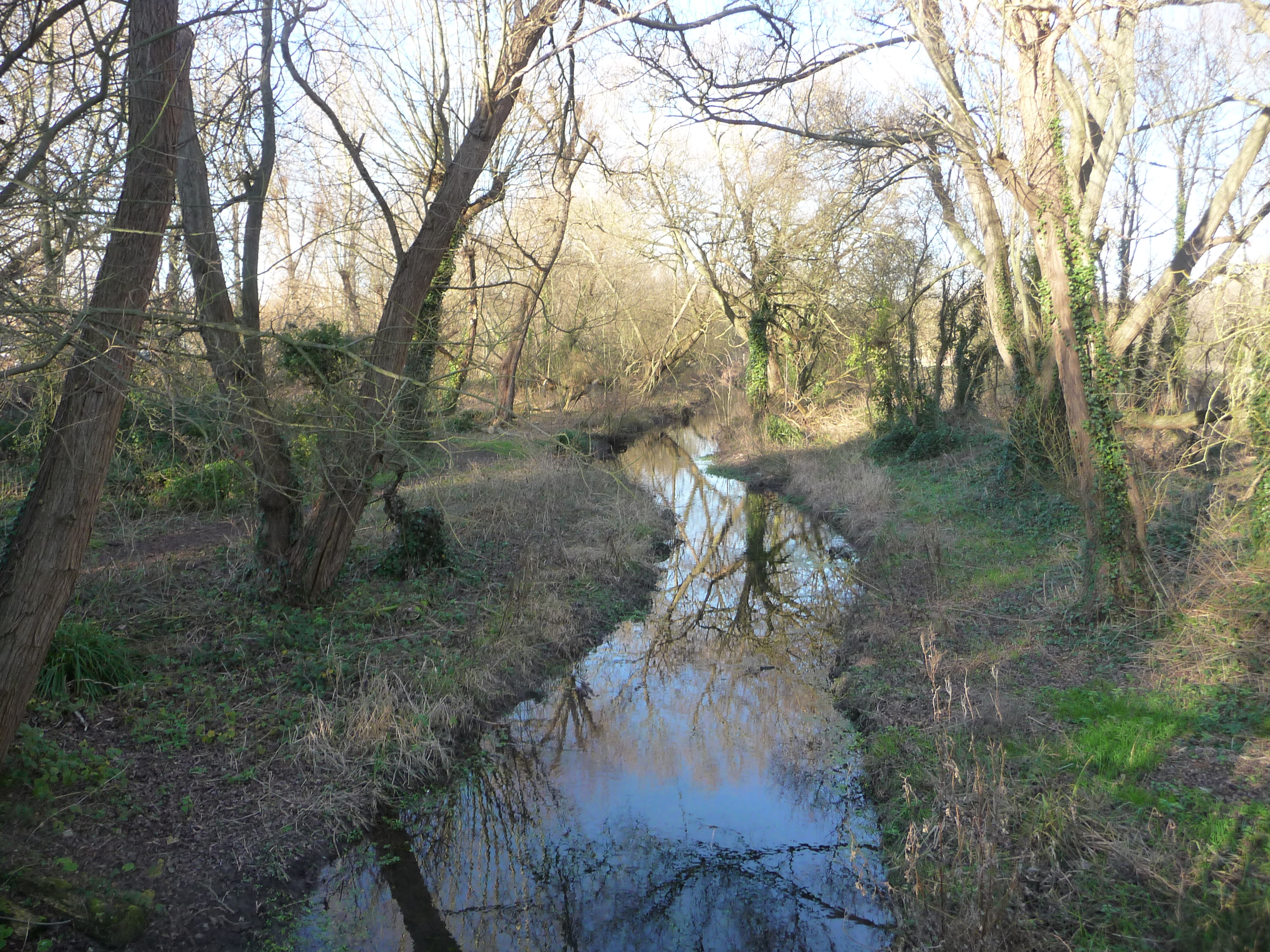
Brook Meadow (Emsworth)
Brook Meadow (Emsworth) is a 3.9-hectare (9.6-acre) Local Nature Reserve in Emsworth in Hampshire. It is owned by Havant Borough Council and managed by...
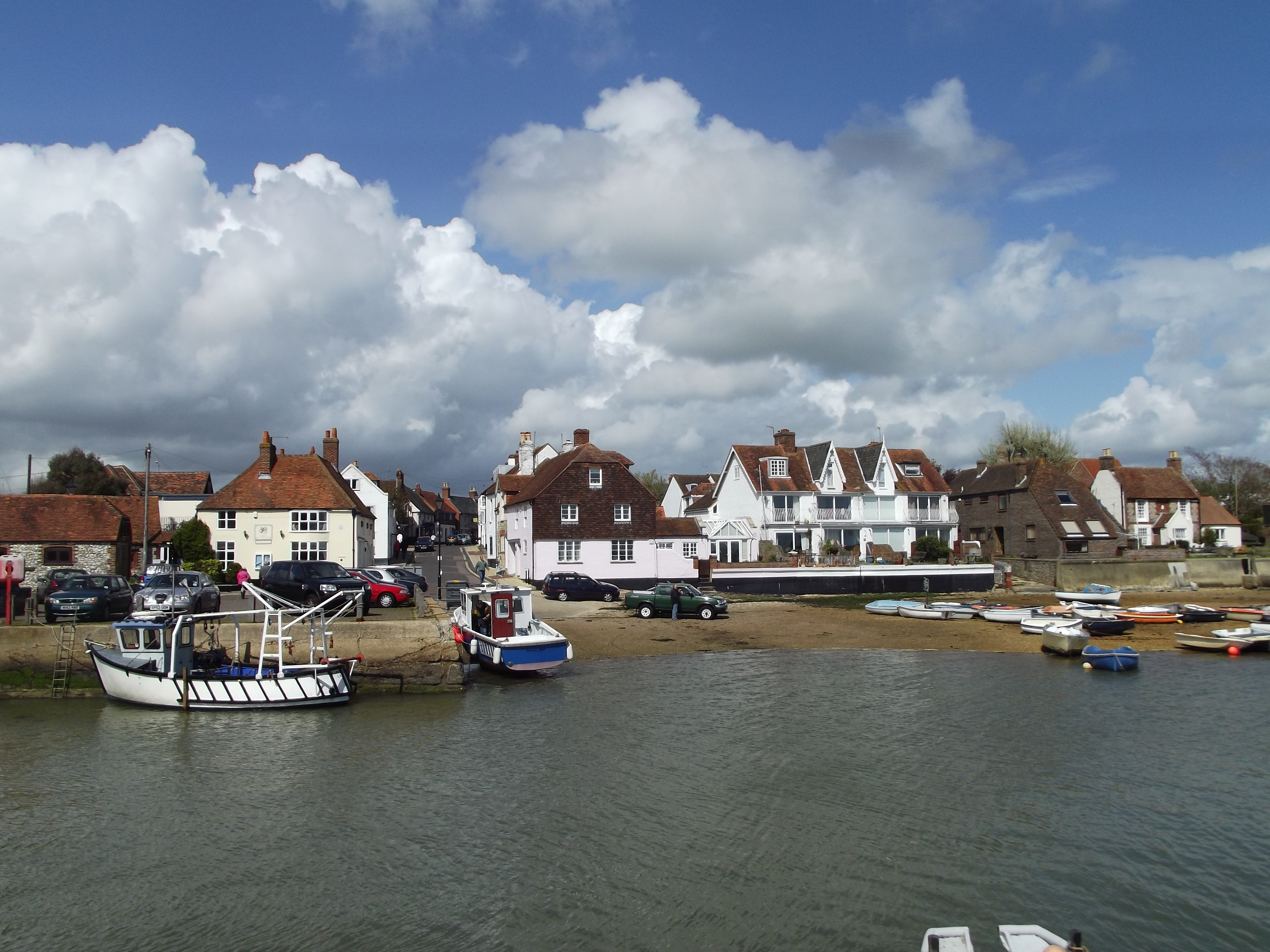
Emsworth
Emsworth is a town in the Borough of Havant in the county of Hampshire, on the south coast of England near the border with West Sussex. It lies at the...

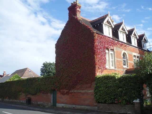
Hollybank House, Emsworth
Hollybank House near Emsworth in Hampshire, England, is a building of historical significance and is Grade II listed on the English Heritage Register....

Southbourne railway station
Southbourne railway station serves the village of Southbourne, West Sussex, England. It is on the West Coastway Line between Brighton and Southampton,...

Bourne (electoral division)
Bourne is an electoral division of West Sussex in the United Kingdom, and returns one member to sit on West Sussex County Council. The former County Councillor...
Denvilles
Denvilles is a locality within Havant to the north of Warblington railway station. In 1877 it consisted of a solitary farm but by 1897 there were several...
Nearby Amenities
Located within 500m of 50.858204,-0.933661Have you been to Brighton, New?
Leave your review of Brighton, New below (or comments, questions and feedback).