Brighton, New
Settlement in Flintshire
Wales
Brighton, New
The requested URL returned error: 429 Too Many Requests
If you have any feedback on the listing, please let us know in the comments section below.
Brighton, New Images
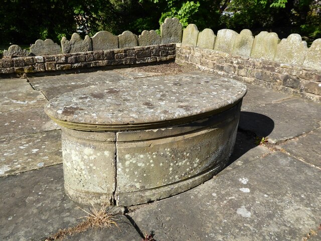
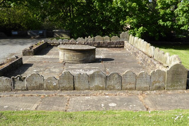
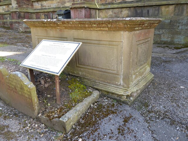
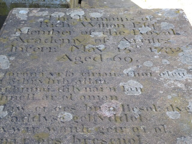
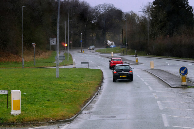
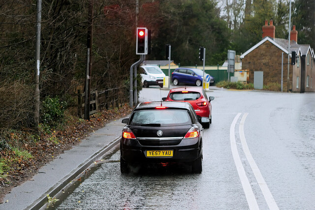
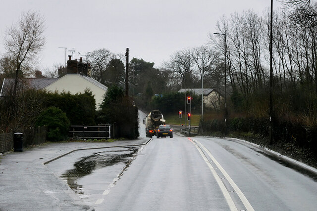
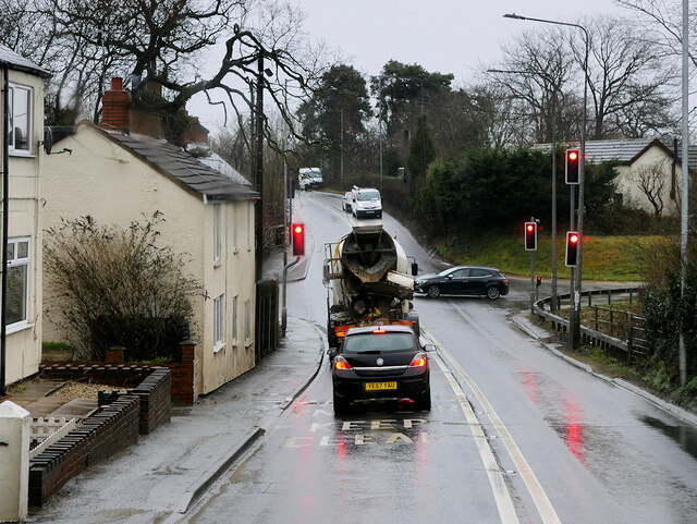
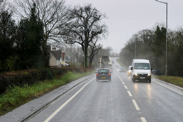
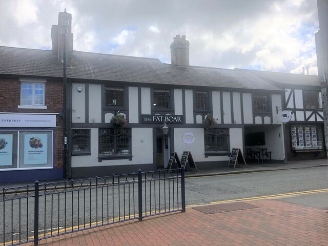
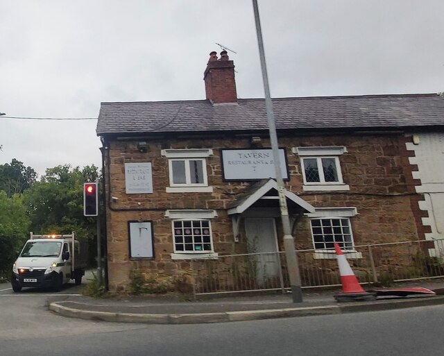
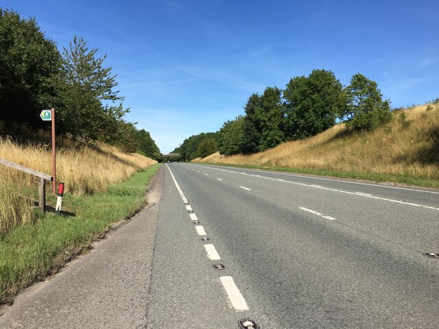
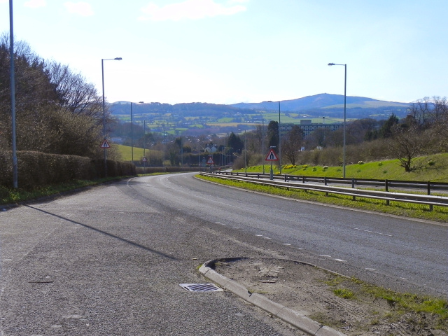
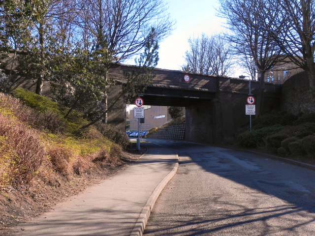
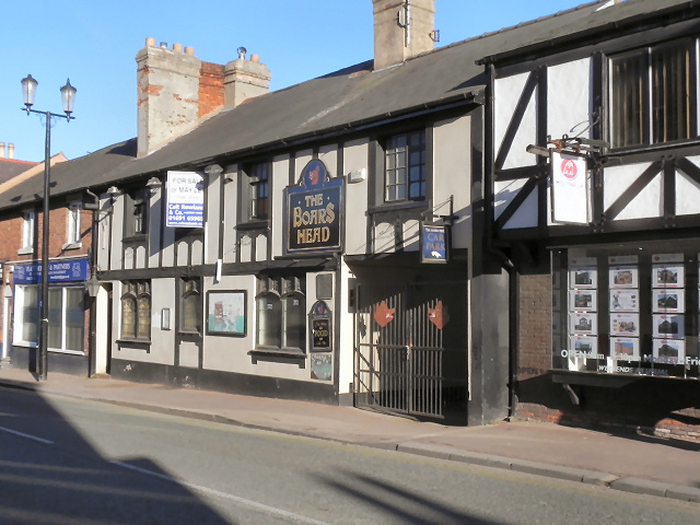
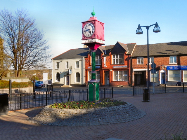
Images are sourced within 2km of 53.179973/-3.119219 or Grid Reference SJ2565. Thanks to Geograph Open Source API. All images are credited.


Brighton, New is located at Grid Ref: SJ2565 (Lat: 53.179973, Lng: -3.119219)
Unitary Authority: Flintshire
Police Authority: North Wales
What 3 Words
///growth.recent.photos. Near Mold, Flintshire
Nearby Locations
Related Wikis

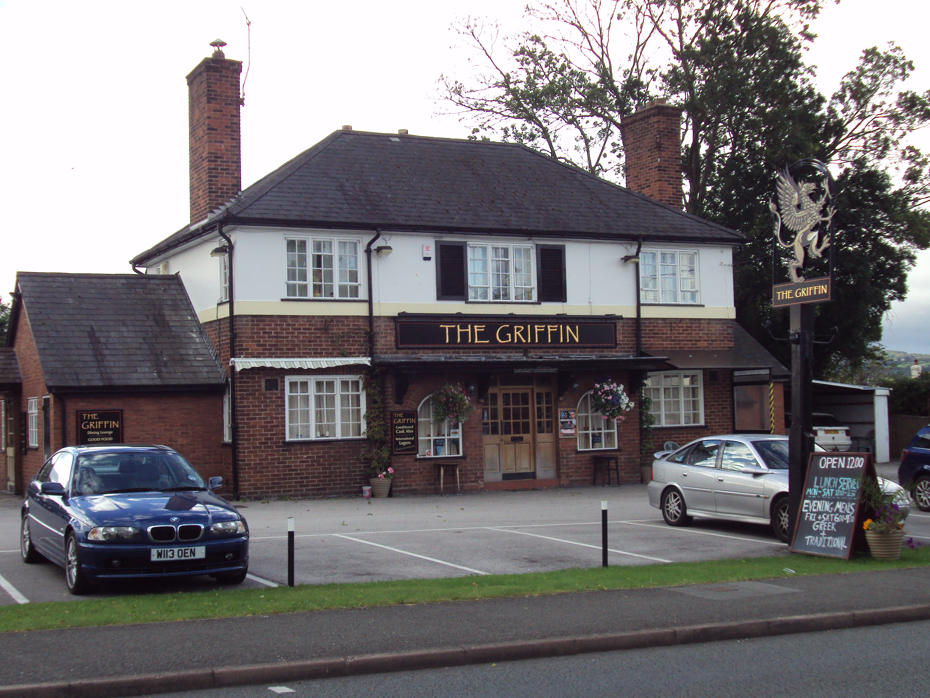
New Brighton, Flintshire
New Brighton (Welsh: New Brighton; sometimes unofficially Pentre Cythraul, 'devil's village') is a small village in Flintshire, in north-east Wales. It...
Mynydd Isa
Mynydd Isa ([ˌmənɨ̞ð ˈɪsa]; Welsh: Mynyddisa) is a village in Flintshire, in north-east Wales. It lies between the county town of Mold, and Buckley (which...
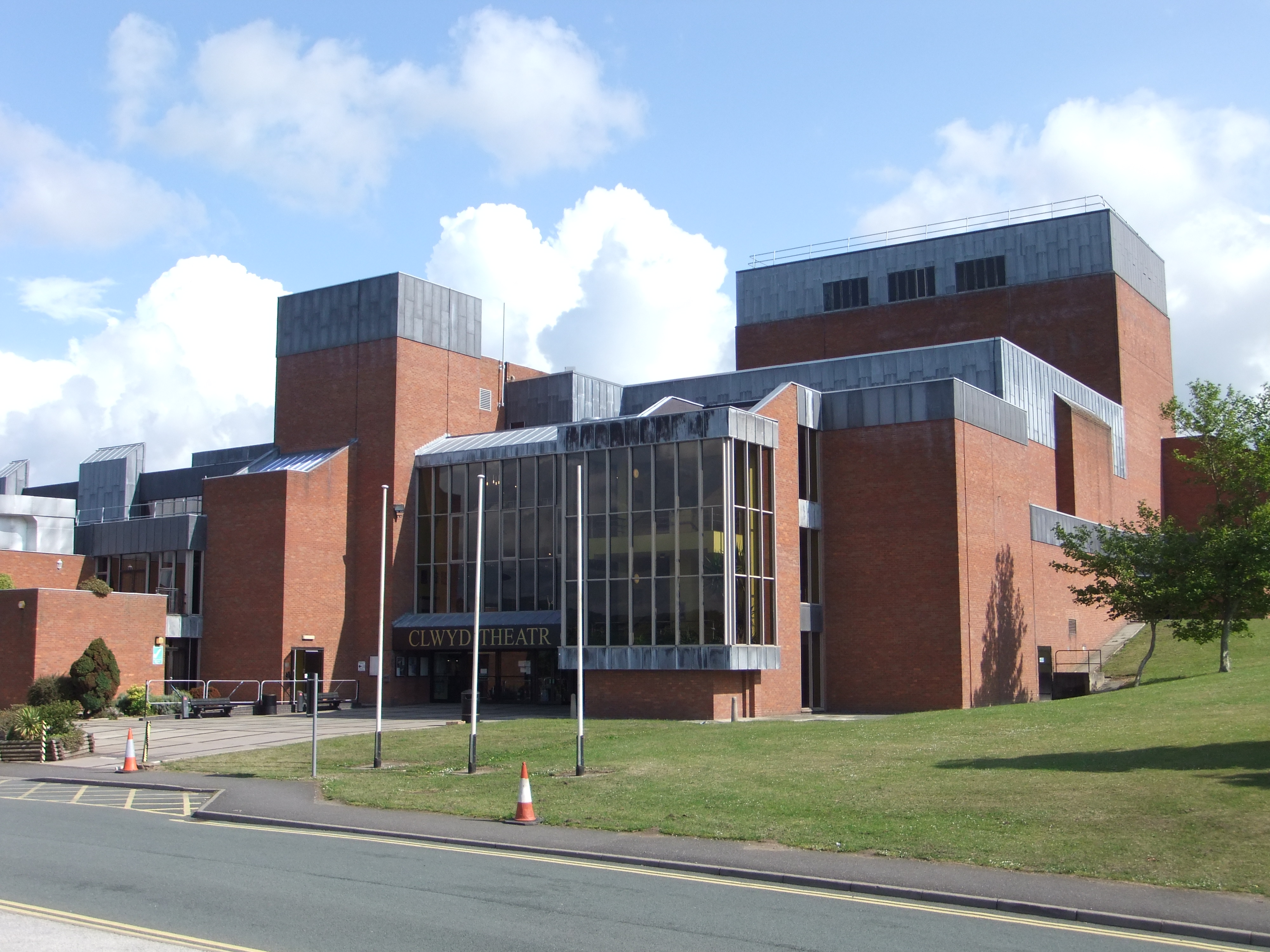
Theatr Clwyd
Theatr Clwyd (Welsh pronunciation: [ˈθeːatr ˈklʊɨd]) is a regional arts centre and producing theatre 1 mile (1.6 km) from Mold, Flintshire, in North East...
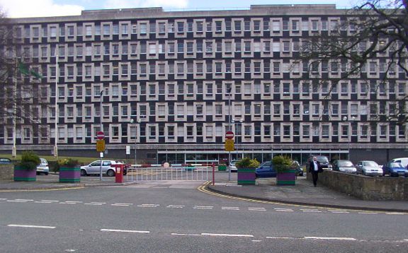
County Hall, Mold
County Hall (Welsh: Neuadd y Sir Yr Wyddgrug) is a municipal facility at Raikes Lane in Mold, Flintshire. It was the headquarters of the old Flintshire...
Nearby Amenities
Located within 500m of 53.179973,-3.119219Have you been to Brighton, New?
Leave your review of Brighton, New below (or comments, questions and feedback).