Bere Regis

Settlement in Dorset

England

Bere Regis

Bere Regis : The A31 From the layby looking along the A31.
Bere Regis : The A31 Credit: Lewis Clarke

Bere Regis is a small village situated in the county of Dorset, England. Nestled in the heart of the Purbeck district, it is located approximately 15 miles north-west of the coastal town of Poole. With a population of around 1,800 residents, it maintains a close-knit and friendly community.

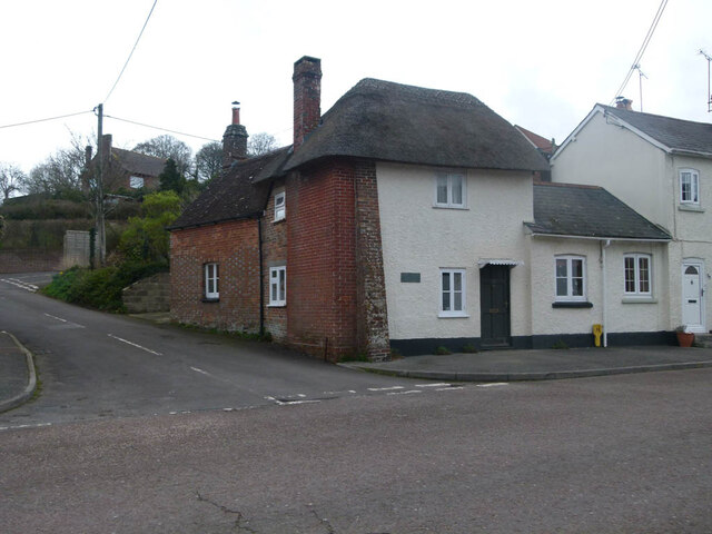
The village is steeped in history, dating back to Roman times, and is known for its picturesque countryside and charming traditional cottages. It is surrounded by rolling hills, lush green fields, and ancient woodland, making it a perfect destination for nature enthusiasts and walkers. The River Piddle also runs through the village, adding to its scenic beauty.

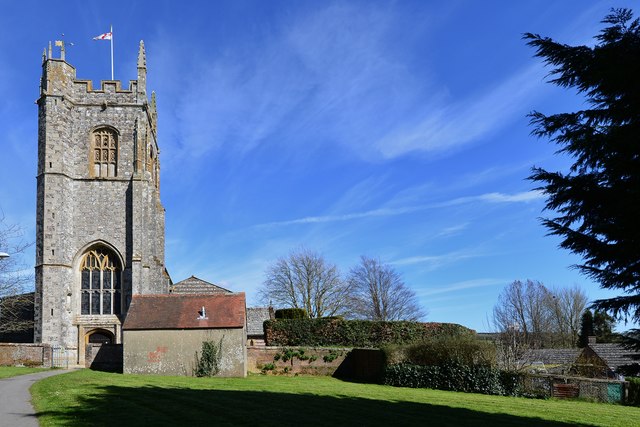
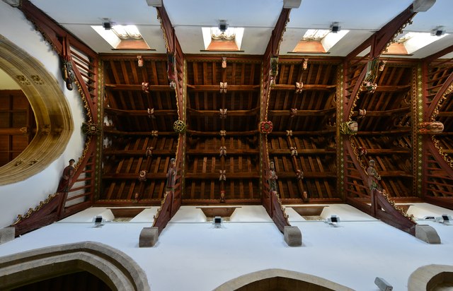
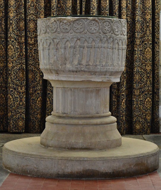
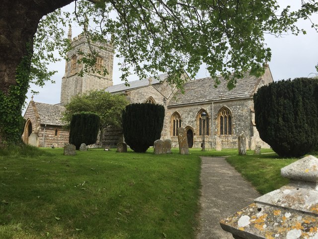
One of the prominent landmarks in Bere Regis is St. John the Baptist Church, which dates back to the 12th century. The church is known for its stunning architecture and is a popular attraction for visitors. Additionally, the village is home to several historical sites, including Bere Regis Castle, which unfortunately now only exists as ruins.

Bere Regis offers a range of amenities to its residents and visitors. It has a primary school, a village hall, a post office, a grocery store, and a few local pubs that serve delicious food and traditional ales. The village also hosts various community events throughout the year, such as the annual Bere Regis Summer Fayre, which attracts people from neighboring areas.

Overall, Bere Regis is a charming and idyllic village that showcases the beauty of rural Dorset. With its rich history, stunning landscapes, and warm community spirit, it is a hidden gem waiting to be explored.

If you have any feedback on the listing, please let us know in the comments section below.
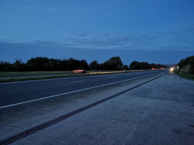
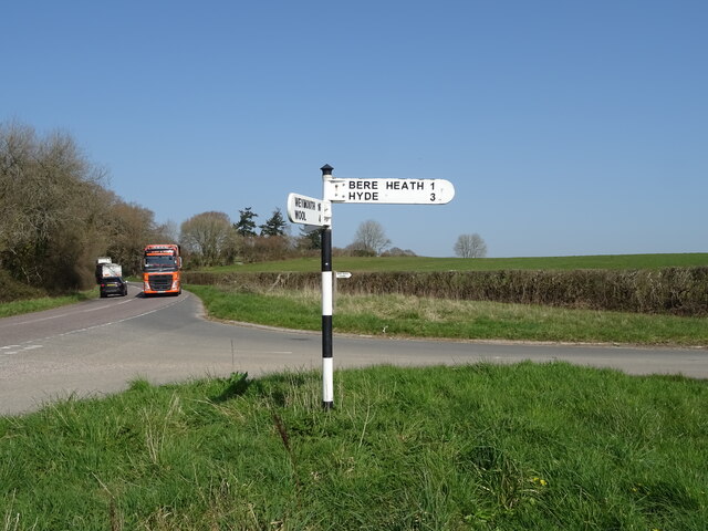
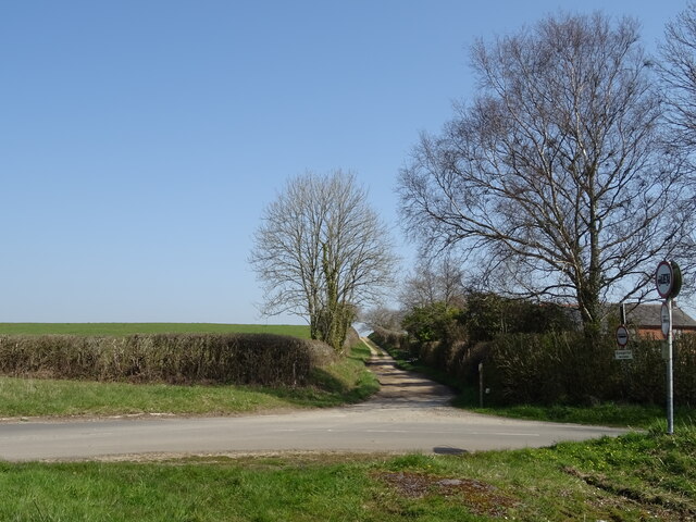
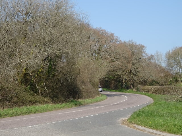
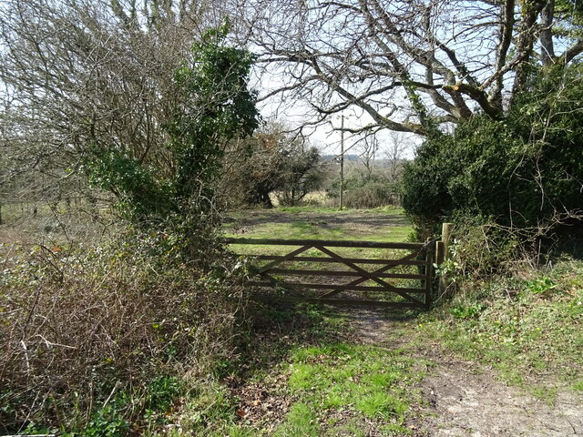
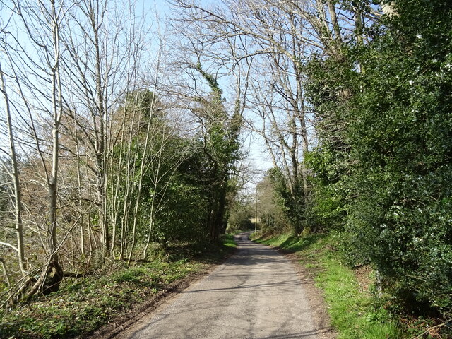
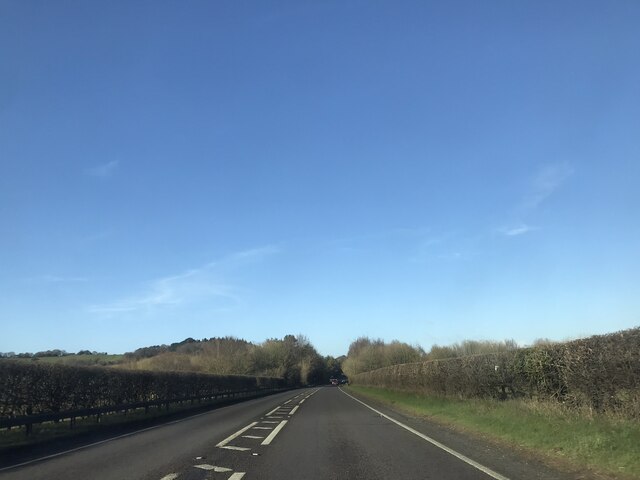
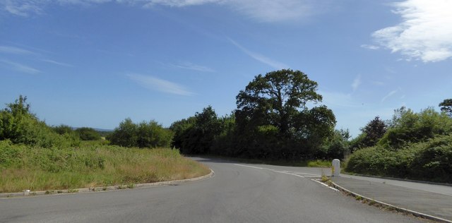
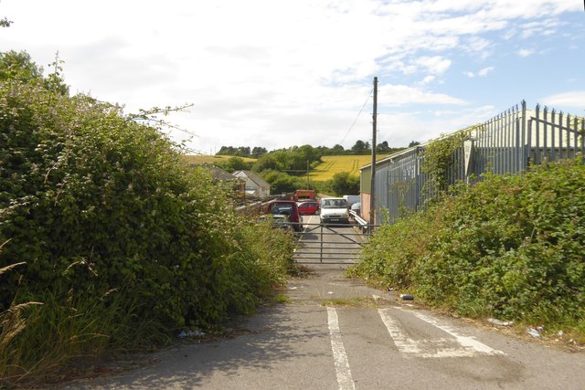
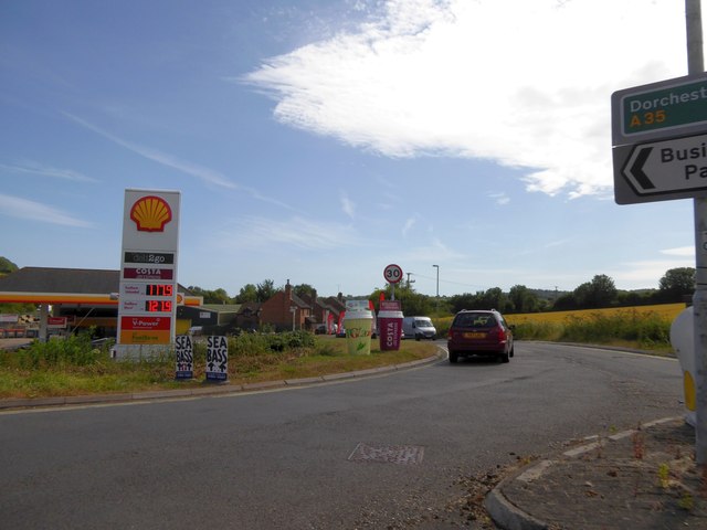
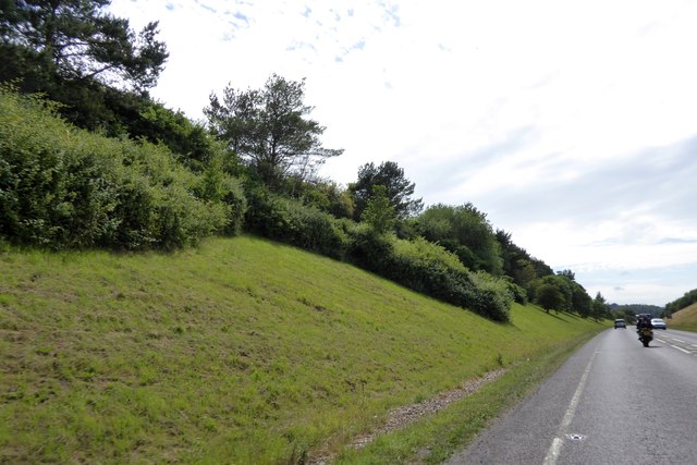
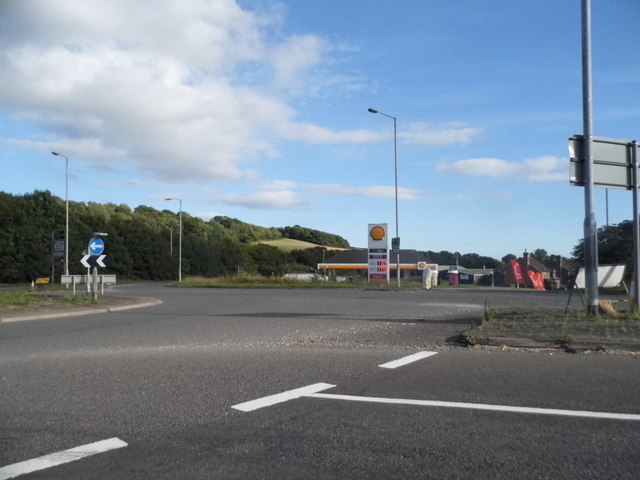
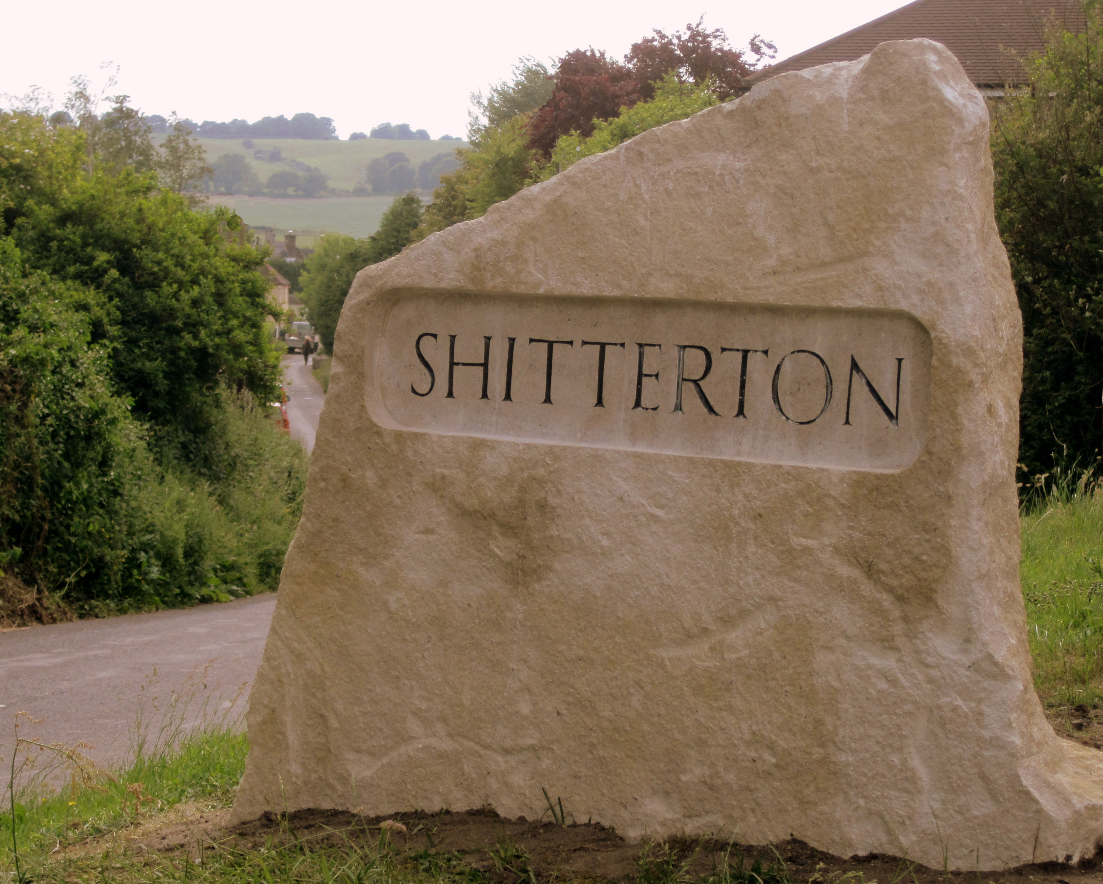
Bere Regis Images

Images are sourced within 2km of 50.753421/-2.2184675 or Grid Reference SY8494. Thanks to Geograph Open Source API. All images are credited.

Bere Regis : The A31 From the layby looking along the A31.
Bere Regis : The A31
From the layby looking along the A31.
Fingerpost, Yearlings' Bottom
Track (bridleway) towards Hollow Oak
Minor road towards Bere Regis
Field entrance, Mintern's Ferry
Lane towards Turners Puddle
A31 near Bolton's Barrow
A35 near Shitterton
A35 near Shitterton
Toll Gate Cottage, Bere Regis A former Toll House at 72 West Street, on the corner of Butt Lane. Used by the Wimborne and Piddletown Turnpike Trust, up to the mid 19ᵗʰ C.

Milestone Society National ID: DO.BER
Toll Gate Cottage, Bere Regis
A former Toll House at 72 West Street, on the corner of Butt Lane. Used by the Wimborne and Piddletown Turnpike Trust, up to the mid 19ᵗʰ C. Milestone Society National ID: DO.BER
Road junction on A35 east of Bere Regis The minor side road and A35 both have long straight stretches on each side of this junction.  They meet at a sharp acute angle, so for safety the junction has been altered to be staggered with the roads square to each other.  The former route is on the right, above the traffic bollard
Road junction on A35 east of Bere Regis
The minor side road and A35 both have long straight stretches on each side of this junction. They meet at a sharp acute angle, so for safety the junction has been altered to be staggered with the roads square to each other. The former route is on the right, above the traffic bollard
The remains of a road junction, Bere Regis This junction has been closed and the space beside the former road given to commercial use.  It is part of the rearrangement of roads (A35 and A31) to avoid the centre of Bere Regis
The remains of a road junction, Bere Regis
This junction has been closed and the space beside the former road given to commercial use. It is part of the rearrangement of roads (A35 and A31) to avoid the centre of Bere Regis
Filling station at Bere Regis At the roundabout junction of the A31 and A35 north-east of Bere Regis
Filling station at Bere Regis
At the roundabout junction of the A31 and A35 north-east of Bere Regis
A35 cutting through Burrow Hill
Bere Regis: The Church of St. John the Baptist
Bere Regis: The Church of St. John the Baptist: The arch-braced roof
Bere Regis: The Church of St. John the Baptist: The blind arcaded Norman font
St.John the Baptist, Bere Regis The church of St.John the Baptist, Bere Regis.
St.John the Baptist, Bere Regis
The church of St.John the Baptist, Bere Regis.
The A35/A31 junction, Bere Regis
Show me another place!

Bere Regis is located at Grid Ref: SY8494 (Lat: 50.753421, Lng: -2.2184675)

Unitary Authority: Dorset

Police Authority: Dorset

What 3 Words

///flat.pythons.rollover. Near Bere Regis, Dorset

Nearby Locations

Sitterton Bere Regis

Related Wikis

Nearby Amenities

Located within 500m of 50.753421,-2.2184675
Traffic Calming: table
Lat/Long: 50.7529438/-2.2170772
Bere Regis
Is In: Dorset
Place: village
Lat/Long: 50.7528199/-2.2164561
Turning Circle
Lat/Long: 50.752815/-2.2182253
Post Office
Bere Regis Post Office
Addr City: Wareham
Addr Country: GB
Addr Postcode: BH20 7HQ
Addr Street: West Street
Addr Village: Bere Regis
Brand: Post Office
Brand Wikidata: Q1783168
Opening Hours: Mo-Fr 09:00-17:30; Sa 09:00-12:30
Ref Pol Id: 177998
Source: OS OpenData StreetView
Website: https://www.postoffice.co.uk/branch-finder/0185086/bere-regis
Lat/Long: 50.7535528/-2.2185614
Turning Circle
Lat/Long: 50.7528272/-2.221136
Turning Circle
Lat/Long: 50.7544564/-2.2239373
Traffic Calming: hump
Lat/Long: 50.7544985/-2.2217616
Traffic Calming: hump
Lat/Long: 50.7539524/-2.2199203
Material: wood
Power: pole
Source: survey
Lat/Long: 50.7561372/-2.2201898
Material: wood
Power: pole
Source: bing
Lat/Long: 50.7569927/-2.2202514
Pub
Drax Arms
Addr Country: GB
Brand: Hall & Woodhouse
Brand Wikidata: Q5642555
Brand Wikipedia: en:Hall & Woodhouse
Wikidata: Q26413831
Lat/Long: 50.7534486/-2.2182836
Bench
Lat/Long: 50.7548906/-2.2236343
Pub
The Royal Oak
Lat/Long: 50.7525841/-2.2166292
Material: wood
Power: pole
Source: bing
Lat/Long: 50.751089/-2.2223641
Power: pole
Source: bing
Lat/Long: 50.7515708/-2.2219555
Material: wood
Power: pole
Source: bing
Transformer: distribution
Lat/Long: 50.751052/-2.2197803
Material: wood
Power: pole
Source: bing
Lat/Long: 50.7513182/-2.2208966
Note: Forest fire whackers
Lat/Long: 50.7516902/-2.2245678
Barrow Hill
Ele: 75
Natural: peak
Lat/Long: 50.7555827/-2.2183846
Turning Circle
Lat/Long: 50.7538728/-2.2207649
Turning Circle
Lat/Long: 50.7496514/-2.2169689
Turning Circle
Lat/Long: 50.7491084/-2.2190468
Material: wood
Power: pole
Source: bing
Lat/Long: 50.7520374/-2.2232518
Material: wood
Power: pole
Source: bing
Lat/Long: 50.7530043/-2.2254471
Camera Angle: 90
Camera Direction: 147
Camera Mount: pole
Camera Type: fixed
Man Made: surveillance
Surveillance: public
Surveillance Type: camera
Lat/Long: 50.7523062/-2.2142753
Location Transition: yes
Material: wood
Power: pole
Ref: 57301127;4
Source: survey
Lat/Long: 50.7554592/-2.2159479
Material: wood
Power: pole
Source: bing
Transformer: distribution
Lat/Long: 50.754751/-2.2141716
Material: wood
Power: pole
Source: bing
Lat/Long: 50.7549767/-2.2147912
Material: wood
Power: pole
Source: bing
Lat/Long: 50.7551973/-2.2153437
Material: wood
Power: pole
Source: survey
Lat/Long: 50.7562273/-2.2185892
Material: wood
Power: pole
Source: bing
Lat/Long: 50.7562782/-2.2176504
Material: wood
Power: pole
Source: bing
Lat/Long: 50.7558845/-2.2170201
Material: wood
Power: pole
Source: survey
Lat/Long: 50.7561611/-2.2198525
Telephone
Booth: K6
Covered: booth
Ref GB Uprn: 10025024556
Lat/Long: 50.7532325/-2.2180504
Post Box
Collection Times: Mo-Fr 16:45; Sa 10:15
Operator: Royal Mail
Post Box Type: wall
Ref: BH20 194
Royal Cypher: EIIR
Royal Cypher Wikidata: Q33102113
Source: survey
Lat/Long: 50.7535414/-2.2186071
Shop: convenience
Lat/Long: 50.7535286/-2.21848
Cycle mechanic 2 U
Opening Hours: Tu-Sa 10:00-19:00
Operator: Dream Adventures Ltd
Payment Card: yes
Payment Cash: yes
Service Bicycle Bicycle Sales And Service: yes
Service Bicycle Ebike: yes
Service Bicycle Pump: yes
Service Bicycle Rental: yes
Service Bicycle Repair: yes
Service Bicycle Retail: yes
Service Bicycle Second Hand: yes
Service Bicycle Tools: yes
Shop: bicycle
Lat/Long: 50.7510765/-2.2212783
Material: wood
Power: pole
Source: survey
Lat/Long: 50.7556313/-2.2135292
Milestone
Source: survey
Lat/Long: 50.7554361/-2.2129491
Post Box
Collection Times: Mo-Fr 09:00; Sa 07:00
Operator: Royal Mail
Post Box Type: lamp
Ref: BH20 195D
Ref GB Uprn: 10015345363
Royal Cypher: EIIR
Royal Cypher Wikidata: Q33102113
Source: survey
Lat/Long: 50.7556263/-2.2127259
Direction: 215
Generator Method: photovoltaic
Generator Output Electricity: yes
Generator Solar Modules: 12
Generator Source: solar
Generator Type: solar_photovoltaic_panel
Location: roof
Power: generator
Lat/Long: 50.7543567/-2.2163174
Direction: ESE
Generator Method: photovoltaic
Generator Output Electricity: yes
Generator Solar Modules: 13
Generator Source: solar
Generator Type: solar_photovoltaic_panel
Location: roof
Power: generator
Lat/Long: 50.7542948/-2.216087
Direction: 185
Generator Method: photovoltaic
Generator Output Electricity: yes
Generator Solar Modules: 16
Generator Source: solar
Generator Type: solar_photovoltaic_panel
Location: roof
Power: generator
Lat/Long: 50.7541313/-2.2193052
Direction: SSW
Generator Method: photovoltaic
Generator Output Electricity: yes
Generator Solar Modules: 16
Generator Source: solar
Generator Type: solar_photovoltaic_panel
Location: roof
Power: generator
Lat/Long: 50.7546592/-2.2217735
Direction: SSW
Generator Method: photovoltaic
Generator Output Electricity: yes
Generator Solar Modules: 9
Generator Source: solar
Generator Type: solar_photovoltaic_panel
Location: roof
Power: generator
Lat/Long: 50.7517455/-2.2173128
Direction: SSW
Generator Method: photovoltaic
Generator Output Electricity: yes
Generator Solar Modules: 7
Generator Source: solar
Generator Type: solar_photovoltaic_panel
Location: roof
Power: generator
Lat/Long: 50.7518213/-2.2178011
Direction: 215
Generator Method: photovoltaic
Generator Output Electricity: yes
Generator Solar Modules: 30
Generator Source: solar
Generator Type: solar_photovoltaic_panel
Location: roof
Power: generator
Lat/Long: 50.7511919/-2.2223201
Direction: SSW
Generator Method: photovoltaic
Generator Output Electricity: yes
Generator Solar Modules: 6
Generator Source: solar
Generator Type: solar_photovoltaic_panel
Location: roof
Power: generator
Lat/Long: 50.7503979/-2.220459
Direction: 165
Generator Method: photovoltaic
Generator Output Electricity: yes
Generator Solar Modules: 4
Generator Source: solar
Generator Type: solar_photovoltaic_panel
Location: roof
Power: generator
Lat/Long: 50.7497423/-2.2171323
Direction: 185
Generator Method: photovoltaic
Generator Output Electricity: yes
Generator Solar Modules: 16
Generator Source: solar
Generator Type: solar_photovoltaic_panel
Location: roof
Power: generator
Lat/Long: 50.74934/-2.2189449
Traffic Calming: hump
Lat/Long: 50.7526718/-2.2162782
Traffic Calming: hump
Lat/Long: 50.753608/-2.2190188
Traffic Calming: hump
Lat/Long: 50.7531696/-2.2177249
Man Made: tower
Ref GB Uprn: 10015295466
Lat/Long: 50.7536023/-2.215717
Barrier: bollard
Lat/Long: 50.7532277/-2.2177182
Barrier: bollard
Lat/Long: 50.7532171/-2.2176847
Barrier: bollard
Lat/Long: 50.7532057/-2.21765
Barrier: bollard
Lat/Long: 50.753193/-2.2176131
Bus Stop
Drax Arms
Bus: yes
Naptan AtcoCode: 1200POA10246
Naptan Bearing: NW
Naptan CommonName: Drax Arms
Naptan Indicator: NW-bound
Naptan NaptanCode: doratgaw
Naptan Street: West Street
Naptan Verified: no
Public Transport: platform
Lat/Long: 50.7538245/-2.2197136
Bus Stop
Drax Arms
Bus: yes
Naptan AtcoCode: 1200POA10245
Naptan Bearing: SE
Naptan CommonName: Drax Arms
Naptan Indicator: SE-bound
Naptan NaptanCode: doratgdg
Naptan Street: West Street
Naptan Verified: no
Public Transport: platform
Lat/Long: 50.7537399/-2.2192654
Traffic Calming: hump
Lat/Long: 50.7541773/-2.2205746
Bus Stop
West Street
Bench: no
Bin: no
Bus: yes
Lit: no
Naptan AtcoCode: 1200POA10248
Naptan Bearing: E
Naptan CommonName: West Street
Naptan Indicator: E-bound
Naptan NaptanCode: doratgam
Naptan Street: West Street
Naptan Verified: no
Public Transport: platform
Shelter: no
Tactile Paving: no
Lat/Long: 50.7546229/-2.2221175
Bus Stop
West Street
Bench: no
Bin: no
Bus: yes
Lit: no
Naptan AtcoCode: 1200POA10247
Naptan Bearing: W
Naptan CommonName: West Street
Naptan Indicator: W-bound
Naptan NaptanCode: doratgaj
Naptan Street: West Street
Naptan Verified: no
Public Transport: platform
Shelter: no
Tactile Paving: no
Lat/Long: 50.7545969/-2.2222874
Traffic Calming: hump
Lat/Long: 50.7547258/-2.222657
Traffic Calming: hump
Lat/Long: 50.755009/-2.2236586
Traffic Calming: hump
Lat/Long: 50.7551723/-2.2242834
Man Made: water_well
Lat/Long: 50.7548354/-2.2184713
Man Made: water_well
Lat/Long: 50.7545633/-2.2143008
Man Made: water_well
Lat/Long: 50.755062/-2.2169309
Man Made: water_well
Lat/Long: 50.7545684/-2.2212665
Man Made: water_well
Lat/Long: 50.754517/-2.2211882
Fire Hydrant
Emergency: fire_hydrant
Fire Hydrant Diameter: 100
Fire Hydrant Type: underground
Ref: 7774
Source: survey
Lat/Long: 50.754193/-2.218647
Material: wood
Power: pole
Ref: 826680
Source: survey
Lat/Long: 50.7541869/-2.2185895
Fire Hydrant
Emergency: fire_hydrant
Fire Hydrant Diameter: 4 inch
Fire Hydrant Type: underground
Ref: 1916
Lat/Long: 50.754944/-2.216632
Colour: gray
Man Made: street_cabinet
Manufacturer: Schnider Electric UK Ltd
Note: LV distribution assembly
Operator: SSE Power Distribution
Street Cabinet: power
Voltage: 400;230
Lat/Long: 50.7546632/-2.2167626
Manufacturer: Lucy Switchgear
Power: switch
Signed Connections: SPARE SWITCH;INCOMER FROM POLE 4
Lat/Long: 50.7546543/-2.2167693
Manufacturer: Efacec Transformadores
Power: transformer
Lat/Long: 50.7546573/-2.2167532
Waste Basket
Waste: dog_excrement
Lat/Long: 50.755476/-2.2128928
Fire Hydrant
Emergency: fire_hydrant
Fire Hydrant Diameter: 150
Fire Hydrant Type: underground
Ref: 16307
Lat/Long: 50.755516/-2.212989
Entrance: main
Lat/Long: 50.7521084/-2.2177797
The data included in this document is from www.openstreetmap.org. The data is made available under ODbL.

Have you been to Bere Regis?

Leave your review of Bere Regis below (or comments, questions and feedback).