New Brighton
Settlement in Yorkshire
England
New Brighton

New Brighton is a small coastal town located in the county of Yorkshire, England. It is situated on the eastern coast, overlooking the North Sea. The town is known for its picturesque beauty, with stunning views of the sea and rolling hills in the distance.
Historically, New Brighton was a popular destination for tourists during the Victorian era, when it became a bustling seaside resort. Today, it still retains its charming character and attracts visitors throughout the year. The town offers a great variety of recreational activities, including beach walks, water sports, and fishing.
One of the town's main attractions is its sandy beach, which stretches for miles and is perfect for sunbathing, picnicking, or building sandcastles. The beach is also home to a lively promenade lined with amusement arcades, cafes, and shops, providing visitors with plenty of entertainment options.
New Brighton is also known for its iconic lighthouse, which stands proudly at the end of the promenade. This historic structure serves as a symbol of the town's maritime heritage and offers panoramic views of the surrounding area.
In addition to its natural beauty, New Brighton boasts a vibrant cultural scene. The town hosts a variety of events and festivals throughout the year, including music concerts and art exhibitions. There are also several pubs, restaurants, and hotels, providing ample accommodation and dining options for visitors.
Overall, New Brighton is a charming coastal town in Yorkshire, offering a perfect blend of natural beauty, recreational activities, and cultural attractions.
If you have any feedback on the listing, please let us know in the comments section below.
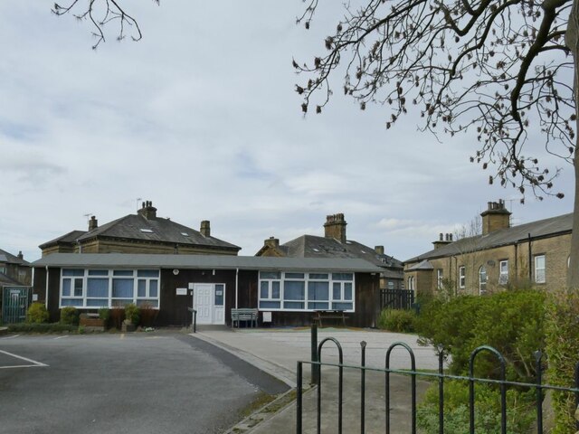
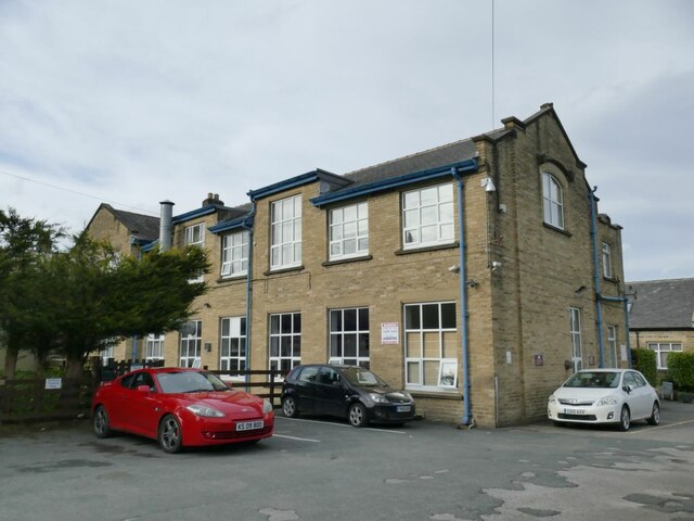
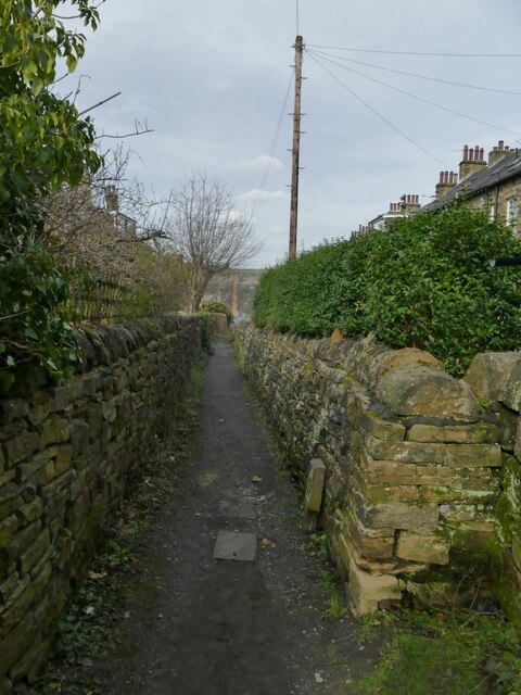
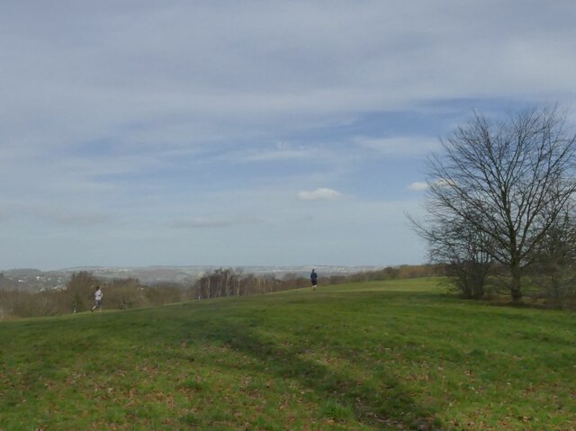
New Brighton Images
Images are sourced within 2km of 53.825435/-1.81508 or Grid Reference SE1236. Thanks to Geograph Open Source API. All images are credited.


New Brighton is located at Grid Ref: SE1236 (Lat: 53.825435, Lng: -1.81508)
Division: West Riding
Unitary Authority: Bradford
Police Authority: West Yorkshire
What 3 Words
///indoor.will.period. Near Bingley, West Yorkshire
Nearby Locations
Related Wikis
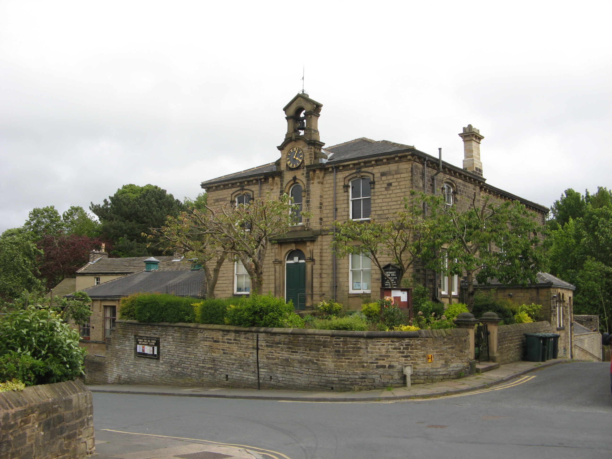
Cottingley Town Hall
Cottingley Town Hall is a municipal building in Main Street in Cottingley, West Yorkshire, England. The building, which was used as a church and a community...

Dixons Cottingley Academy
Dixons Cottingley Academy (formerly Samuel Lister Academy, Aire Valley School, Nab Wood School and originally Nab Wood Grammar School) is a mixed secondary...
Belle Vue Girls' Academy
Belle Vue Girls' Academy (formerly Belle Vue Girls' School) is a girls' secondary school and sixth form located in Bradford, West Yorkshire, England....

Beckfoot Upper Heaton
Beckfoot Upper Heaton (formerly Belle Vue Boys' School) is a co-educational secondary school in Bradford, West Yorkshire, England. It is situated near...
Nearby Amenities
Located within 500m of 53.825435,-1.81508Have you been to New Brighton?
Leave your review of New Brighton below (or comments, questions and feedback).