Bridge, New

Settlement in Pembrokeshire

Wales

Bridge, New

Milk churn stand Milk churn stand by the entrance to Canon Hills Farm, alongside the B4329.
Milk churn stand Credit: Martyn Harries

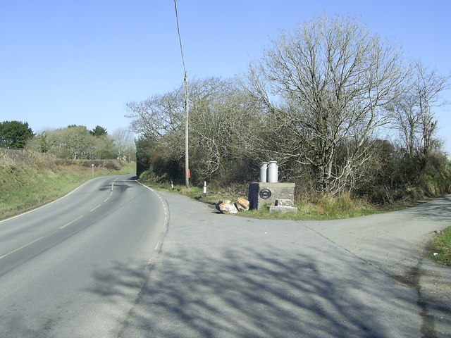
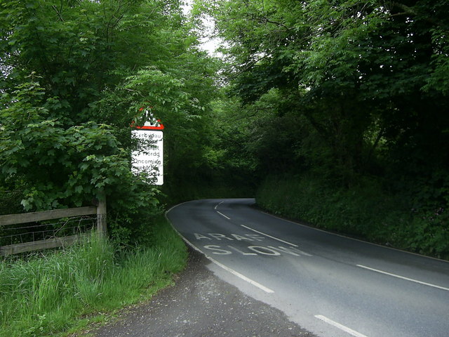
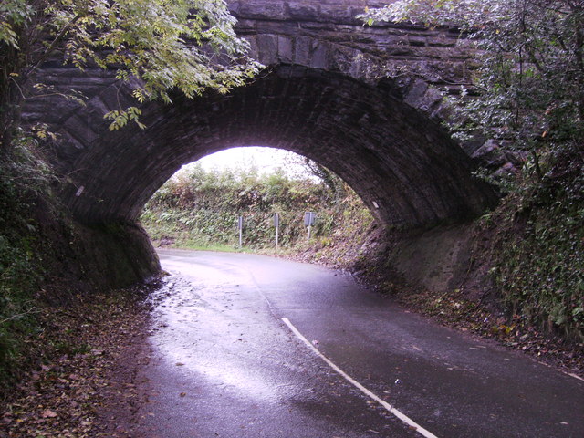
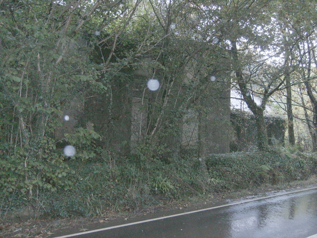
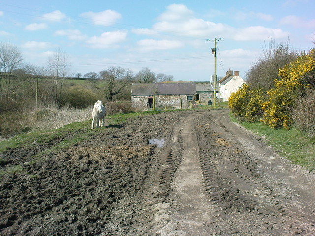
Bridge is a small village located in Pembrokeshire, Wales. Situated near the town of Haverfordwest, Bridge is known for its picturesque countryside and tranquil atmosphere. The village is surrounded by lush green fields, rolling hills, and meandering streams, making it a popular destination for nature lovers and outdoor enthusiasts.

Bridge is home to a close-knit community of residents who take pride in their village and its natural beauty. The village has a few local amenities, including a small grocery store, a post office, and a pub, providing basic necessities for its residents.

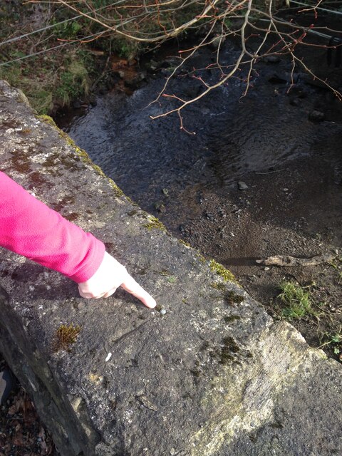
One of the main attractions in Bridge is its historic bridge, which spans a small river that runs through the village. The bridge is a popular spot for locals and visitors alike to take a leisurely stroll and admire the scenic views of the surrounding countryside.

Overall, Bridge offers a peaceful and idyllic setting for those looking to escape the hustle and bustle of city life and immerse themselves in the beauty of the Welsh countryside.

If you have any feedback on the listing, please let us know in the comments section below.

Bridge, New Images

Images are sourced within 2km of 51.83756/-4.921484 or Grid Reference SM9819. Thanks to Geograph Open Source API. All images are credited.

Milk churn stand Milk churn stand by the entrance to Canon Hills Farm, alongside the B4329.
Milk churn stand
Milk churn stand by the entrance to Canon Hills Farm, alongside the B4329.
Stember Farm
Stember Farm
Sharp bend near Ram's Wood A view of the sharp bend in the tree lined road heading for Clarbeston Road which narrows as you approach the railway bridge between Ram's Wood and Railway Tavern.
Sharp bend near Ram's Wood
A view of the sharp bend in the tree lined road heading for Clarbeston Road which narrows as you approach the railway bridge between Ram's Wood and Railway Tavern.
Rail bridge near New Bridge This rail bridge has been built on the natural rock both sides, tight bends into and out of the bridge, with high vehicles having to pass under the bridge in the centre of the road, this bridge is about 100 metres from <a href="https://www.geograph.org.uk/photo/3191810">SM9919 : Rail bridge at New Bridge</a>.
Rail bridge near New Bridge
This rail bridge has been built on the natural rock both sides, tight bends into and out of the bridge, with high vehicles having to pass under the bridge in the centre of the road, this bridge is about 100 metres from SM9919 : Rail bridge at New Bridge.
Abandoned farm house The house is still boarded up and the trees have grown about the house, but trees have been felled by the out buildings further to the right, see<a href="https://www.geograph.org.uk/photo/691345">SN0020 : Sleeches</a> by Ceridwen
Abandoned farm house
The house is still boarded up and the trees have grown about the house, but trees have been felled by the out buildings further to the right, seeSN0020 : Sleeches by Ceridwen
Track to Dollaston Farm, Wiston
Lower Hill Farm On bridleway from Lower Hill Farm to Upper Hill Farm. The shallow valley on the left deepens slightly to Upper Farm.
Lower Hill Farm
On bridleway from Lower Hill Farm to Upper Hill Farm. The shallow valley on the left deepens slightly to Upper Farm.
Lower Hill Farmland The house is on a steep track just up from Lower Hill Farm.
A great track for hurtling down at speed on my mountain bike!
A very peaceful part of Pembrokeshire being in a secluded valley away from the roads.
Lower Hill Farmland
The house is on a steep track just up from Lower Hill Farm. A great track for hurtling down at speed on my mountain bike! A very peaceful part of Pembrokeshire being in a secluded valley away from the roads.
Bridleway to Upper Hill Farm Looking up to Upper Hill Farm, the bridle way slightly deviates from the map and takes you along the maintained farm track.
Bridleway to Upper Hill Farm
Looking up to Upper Hill Farm, the bridle way slightly deviates from the map and takes you along the maintained farm track.
Down to Lower Hill Farm From the edge of the track to Upper Hill Farm, I climbed up into a tree and had a great view down to Lower Hill Farm.
Down to Lower Hill Farm
From the edge of the track to Upper Hill Farm, I climbed up into a tree and had a great view down to Lower Hill Farm.
The B4329 at entrance to Cannon Hill Farm
Bethlehem, Pembrokeshire A hamlet on the B road from Haverfordwest to Cardigan.
Bethlehem, Pembrokeshire
A hamlet on the B road from Haverfordwest to Cardigan.
Bethlehem Manse The house appears to have lost its chimney since Gordon Hatton took his photo in 2007.
Bethlehem Manse
The house appears to have lost its chimney since Gordon Hatton took his photo in 2007.
Ordnance Survey Rivet and cut mark Rivet found on South Eastern side of bridge parapet.
Ordnance Survey Rivet and cut mark
Rivet found on South Eastern side of bridge parapet.
Sleeches Roadside farm near Clarbeston Road in the parish of Wiston. The place is boarded-up and has evidently been out of use for a while.
Sleeches
Roadside farm near Clarbeston Road in the parish of Wiston. The place is boarded-up and has evidently been out of use for a while.
Abandoned farmyard The farmyard and buildings here have been neglected for a number of years judging by the growth of the young trees.
Abandoned farmyard
The farmyard and buildings here have been neglected for a number of years judging by the growth of the young trees.
Road Junction and Phone Box near Crundale Phone box and New Bridge Farm by the road junction between Crundale and Clarbeston Road.
Road Junction and Phone Box near Crundale
Phone box and New Bridge Farm by the road junction between Crundale and Clarbeston Road.
Show me another place!

Bridge, New is located at Grid Ref: SM9819 (Lat: 51.83756, Lng: -4.921484)

Unitary Authority: Pembrokeshire

Police Authority: Dyfed Powys

What 3 Words

///rocket.merely.heckler. Near Spittal, Pembrokeshire

Nearby Locations

New Bridge Bridge, New

Related Wikis

Rudbaxton Rath

Rudbaxton Rath is a ring-shaped enclosure together with a ringed keep in the parish of Rudbaxton, Pembrokeshire, Wales. It is situated roughly 1.54 km...

Crundale, Pembrokeshire

Crundale is a village near Haverfordwest in south Pembrokeshire, southwest Wales. It is the principal residential area of Rudbaxton community. The population...

Scolton Manor

Scolton Manor is a Victorian country house and country park located in Pembrokeshire, West Wales northeast of Haverfordwest and on the borders of the Pembrokeshire...

Haverfordwest Airport

Haverfordwest Airport (Welsh: Maes Awyr Hwlffordd) (IATA: HAW, ICAO: EGFE), also known as Withybush Airport, is a minor airport located 2 NM (3.7 km; 2...

Nearby Amenities

Located within 500m of 51.83756,-4.921484
Give Way
Direction: backward
Lat/Long: 51.8388684/-4.916801
The data included in this document is from www.openstreetmap.org. The data is made available under ODbL.

Have you been to Bridge, New?

Leave your review of Bridge, New below (or comments, questions and feedback).