Bewick, New
Settlement in Northumberland
England
Bewick, New

Bewick is a small village located in the county of Northumberland, in the northeastern region of England. Situated in the heart of the picturesque Northumberland National Park, it is surrounded by stunning natural beauty and offers a peaceful and idyllic setting for its residents.
The village is known for its charming stone houses and quaint cottages, which give it a traditional and timeless feel. The local community is close-knit and friendly, with a population of approximately 300 residents. Despite its small size, Bewick boasts a range of amenities, including a village hall, a primary school, and a local pub, where residents can gather and socialize.
The surrounding countryside is a haven for nature lovers and outdoor enthusiasts. The Northumberland National Park offers endless opportunities for hiking, cycling, and wildlife spotting, with its vast moorland, rolling hills, and ancient woodlands. The nearby River Coquet also provides a picturesque spot for fishing and boating.
For those interested in history and culture, Bewick is home to the famous Bewick Church, a Grade II listed building known for its beautiful stained glass windows and medieval architecture. The village is also within easy reach of several historic sites, including the magnificent Alnwick Castle and the UNESCO World Heritage Site of Hadrian's Wall.
Overall, Bewick is a charming and peaceful village, perfect for those seeking a slower pace of life and a deep connection with nature.
If you have any feedback on the listing, please let us know in the comments section below.
Bewick, New Images
Images are sourced within 2km of 55.476685/-1.890486 or Grid Reference NU0720. Thanks to Geograph Open Source API. All images are credited.


Bewick, New is located at Grid Ref: NU0720 (Lat: 55.476685, Lng: -1.890486)
Unitary Authority: Northumberland
Police Authority: Northumbria
What 3 Words
///loaf.appointed.trousers. Near Whittingham, Northumberland
Nearby Locations
Related Wikis

Bewick, Northumberland
Bewick () is a civil parish in the county of Northumberland, England. In 2001 it had a population of 69, increasing to 138 (after the inclusion of Chillingham...

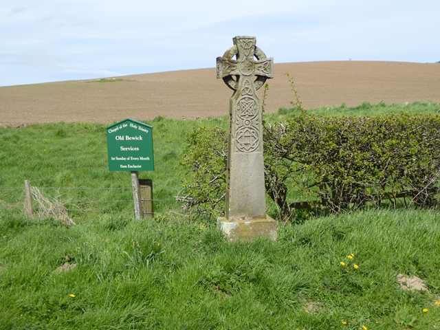
Old Bewick
Old Bewick is a rural village and former civil parish, now in the parish of Bewick, in the county of Northumberland, England, notable for its Bronze Age...

Battle of Hedgeley Moor
The Battle of Hedgeley Moor, 25 April 1464, was a battle of the Wars of the Roses. It was fought at Hedgeley Moor, north of the villages of Glanton and...
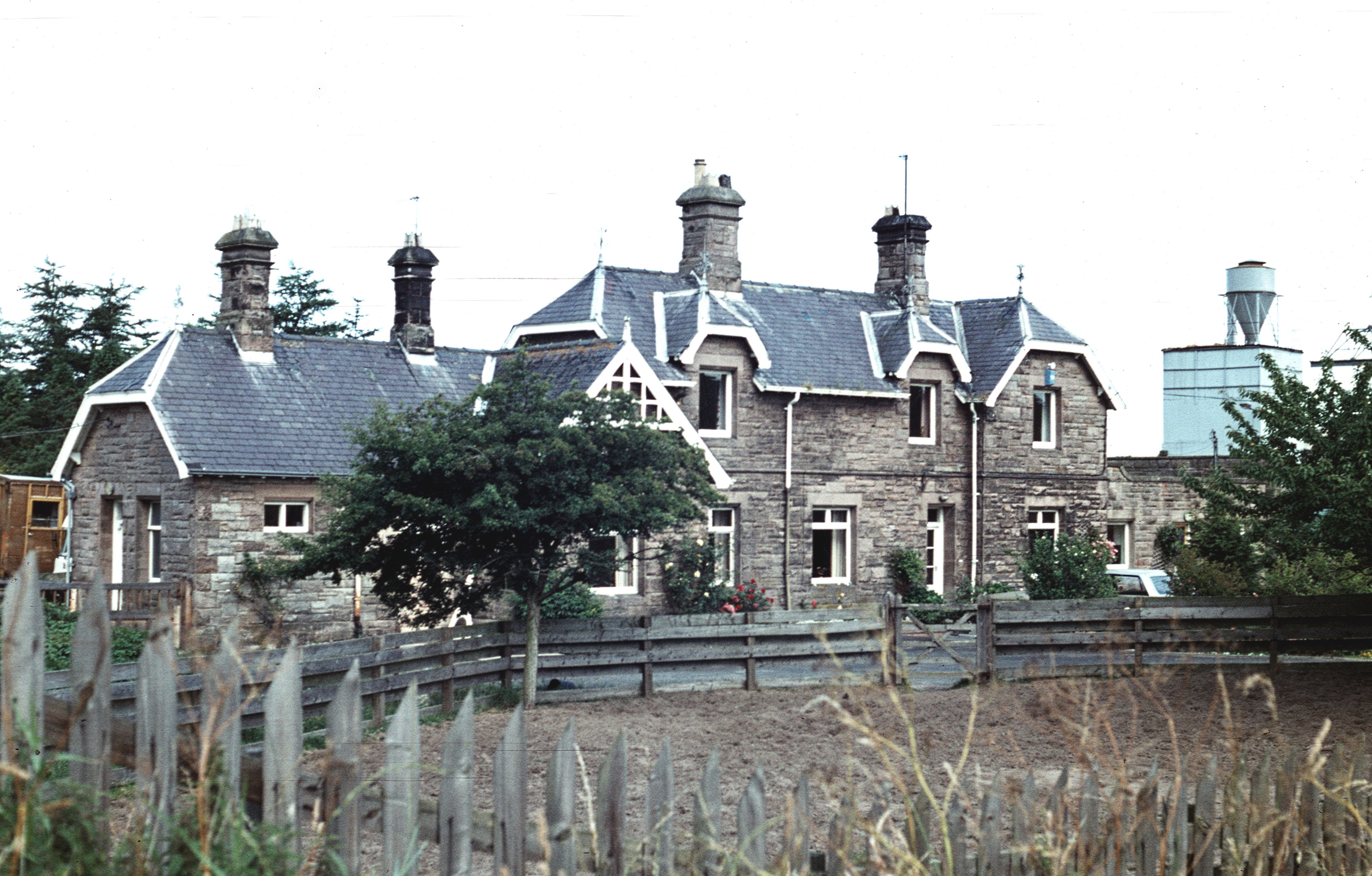
Wooperton railway station
Wooperton railway station served the hamlet of Wooperton, Roddam, Northumberland, England from 1887 to 1954 on the Cornhill Branch. == History == The station...
Nearby Amenities
Located within 500m of 55.476685,-1.890486Have you been to Bewick, New?
Leave your review of Bewick, New below (or comments, questions and feedback).