Alresford, New
Settlement in Hampshire Winchester
England
Alresford, New
Alresford, New Hampshire, is a picturesque town located in the northeastern part of the United States. With a population of around 6,000 residents, it offers a peaceful and close-knit community atmosphere. The town is situated in the county of Merrimack and covers an area of approximately 18 square miles.
Alresford is known for its beautiful natural surroundings, with rolling hills, lush forests, and the serene Soucook River flowing through its center. The town experiences all four seasons, with warm summers, crisp autumns, snowy winters, and mild springs.
The town's history dates back to the early 18th century when it was first settled by European colonists. Alresford played a significant role in the Industrial Revolution, with mills and factories being established along the riverbanks. Today, remnants of this industrial heritage can still be seen, adding to the town's charm.
Alresford offers its residents a range of amenities and services, including a variety of shops, restaurants, and recreational facilities. The town is proud of its excellent public school system, providing quality education to the local youth. Outdoor enthusiasts can enjoy numerous hiking and biking trails, as well as fishing and boating opportunities on the Soucook River.
The community of Alresford is known for its strong sense of civic pride, with active local organizations and events that bring residents together. The town hosts an annual summer festival, attracting visitors from neighboring towns.
Overall, Alresford, New Hampshire, offers a peaceful and scenic environment, making it an ideal place to live for those seeking a small-town lifestyle with access to natural beauty and a tight-knit community.
If you have any feedback on the listing, please let us know in the comments section below.
Alresford, New Images
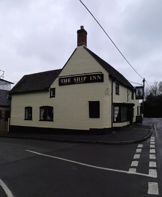
Images are sourced within 2km of 51.090535/-1.16135 or Grid Reference SU5832. Thanks to Geograph Open Source API. All images are credited.
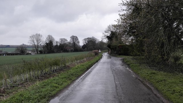


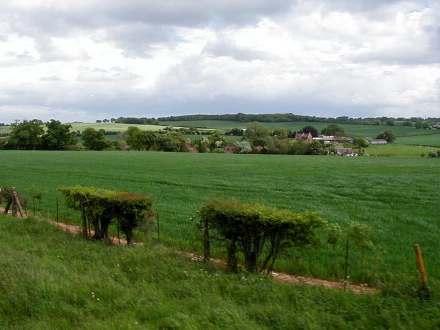
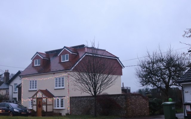


Alresford, New is located at Grid Ref: SU5832 (Lat: 51.090535, Lng: -1.16135)
Administrative County: Hampshire
District: Winchester
Police Authority: Hampshire
What 3 Words
///converter.laptop.moped. Near New Alresford, Hampshire
Nearby Locations
Related Wikis
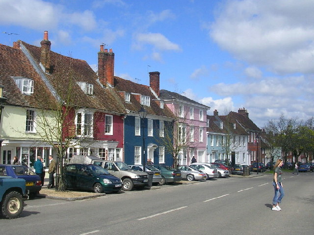
New Alresford
New Alresford or simply Alresford ( OLZ-fərd or AWLZ-fərd) is a market town and civil parish in the City of Winchester district of Hampshire, England...

Alresford Community Centre
Alresford Community Centre, formerly Alresford Town Hall, is a municipal building in West Street, New Alresford, Hampshire, England. The structure, which...

Deanery of Alresford
The Deanery of Alresford lies within the Diocese of Winchester in England. It includes the parishes of Cliddesden, Dummer, Itchen Abbas, Martyr Worthy...
Itchin Stoke Down
Itchin Stoke Down is a rural location near the town of Alresford in Hampshire. It was used as a venue for 13 first-class cricket matches between 1778 and...
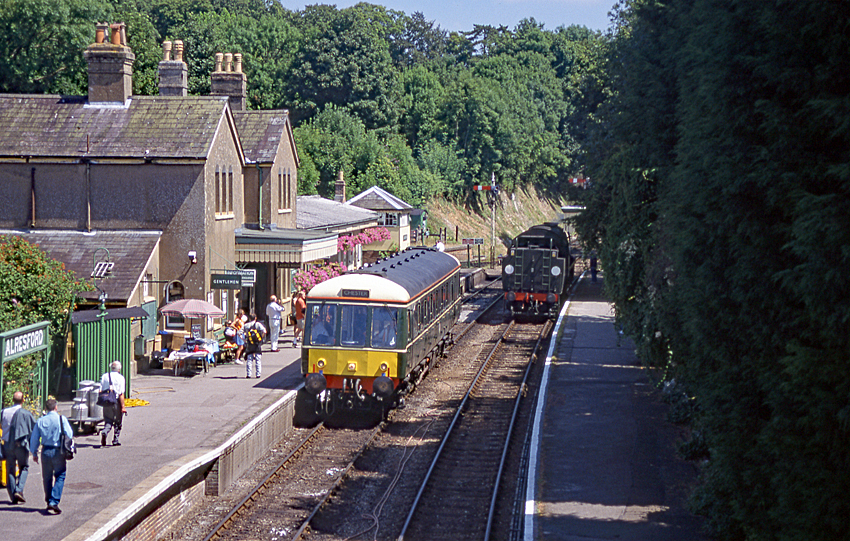
Alresford railway station (Hampshire)
Alresford railway station ( or ) in Hampshire, England, is the terminus of the Watercress Line from Alton. It is in the small town of New Alresford, 7½...
Perins School
Perins School (formerly named Perins Community School) is an academy, Sports College and secondary school in New Alresford, Hampshire, England. == Performance... ==
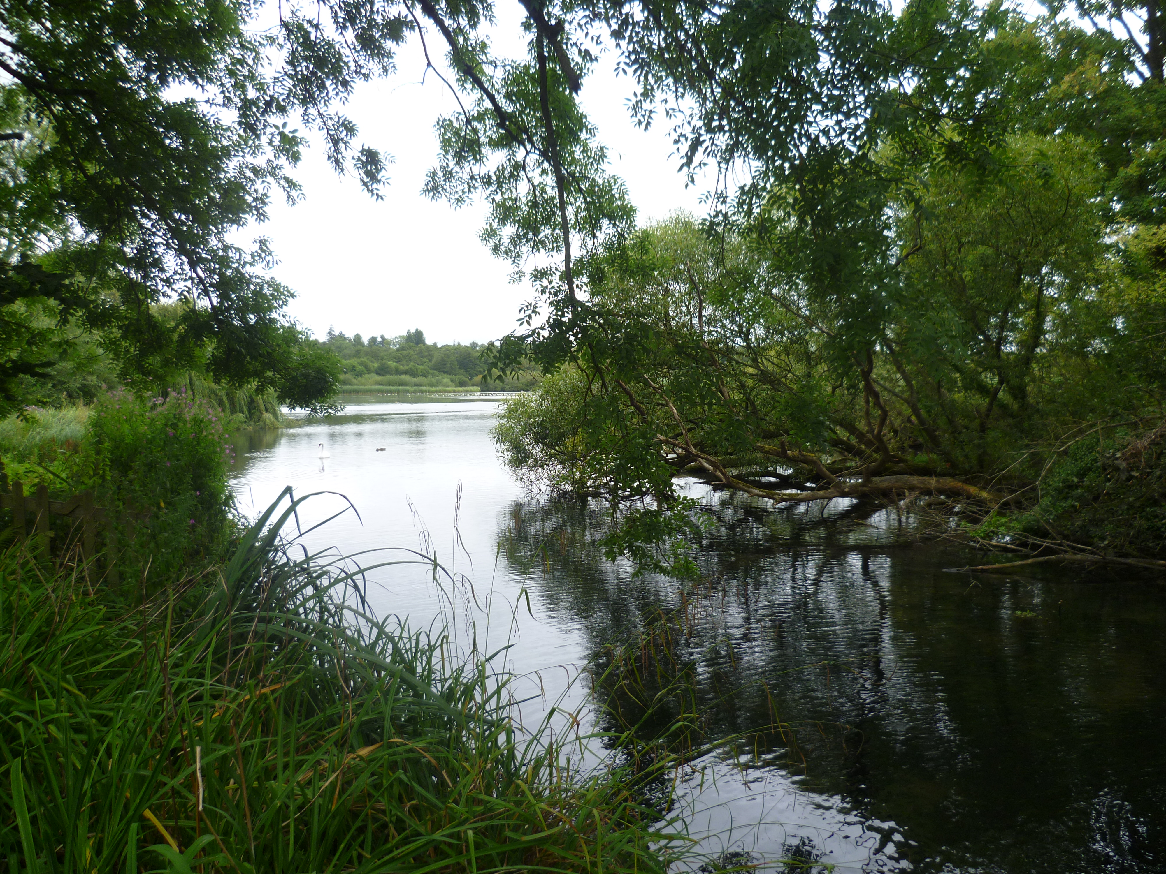
Alresford Pond
Alresford Pond is a 30.2-hectare (75-acre) biological Site of Special Scientific Interest on the north side of New Alresford in Hampshire. This large lake...
Alresford Town F.C.
Alresford Town Football Club is a football club based in New Alresford, Hampshire, England. Affiliated to the Hampshire FA, they are currently members...
Nearby Amenities
Located within 500m of 51.090535,-1.16135Have you been to Alresford, New?
Leave your review of Alresford, New below (or comments, questions and feedback).