Aberdour, New

Settlement in Aberdeenshire

Scotland

Aberdour, New

Caves at Aberdour beach From the top of the cliff looking down towards the beach and caves
Caves at Aberdour beach Credit: Ralph Greig

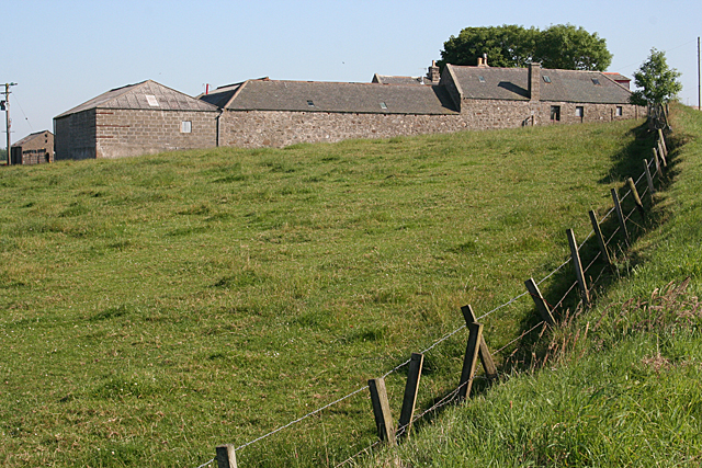
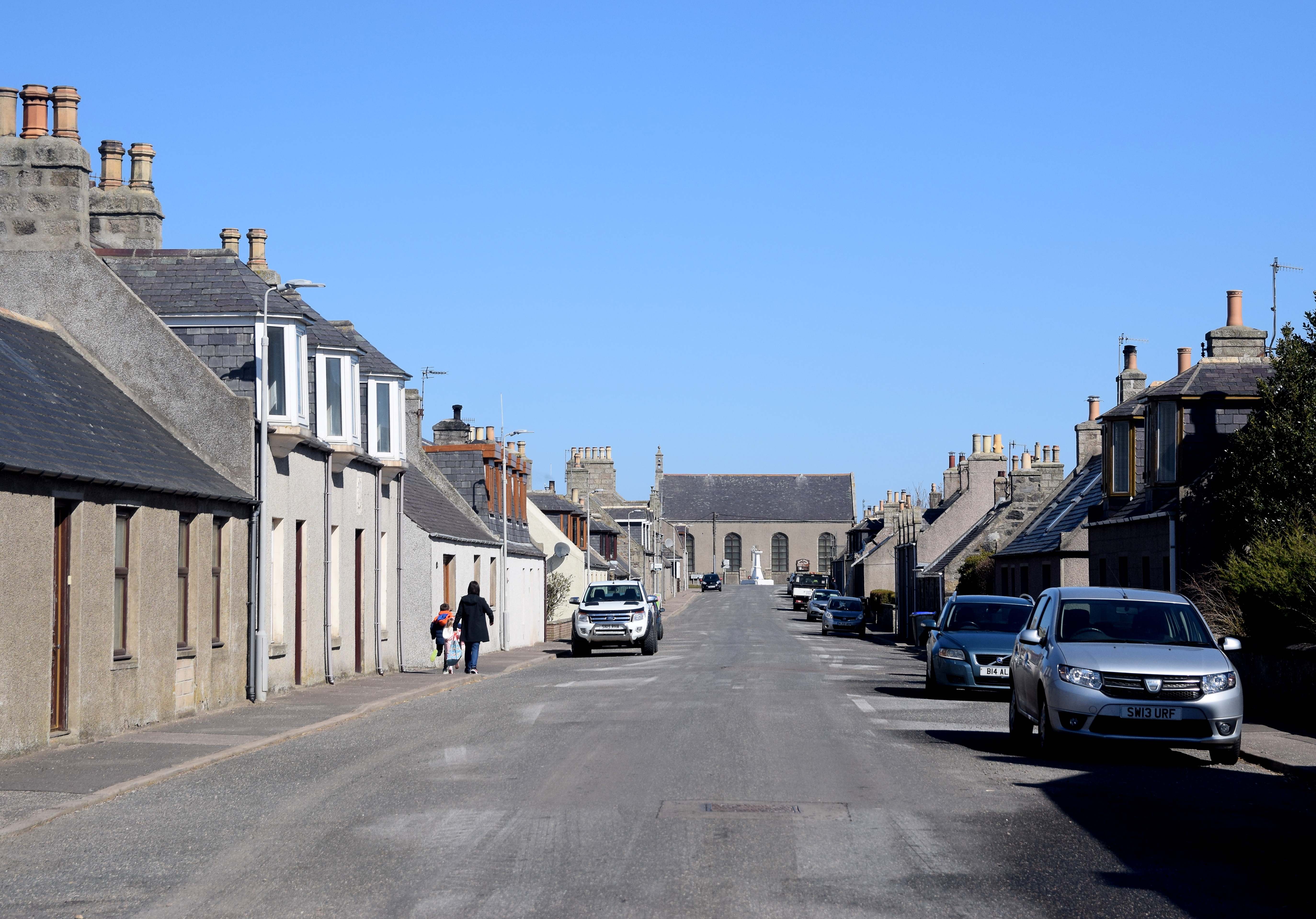
Aberdour is a small village located in the Aberdeenshire region of Scotland. Situated on the northeastern coast, it is nestled between the larger towns of Fraserburgh and Peterhead. With a population of around 500 residents, Aberdour maintains a close-knit community atmosphere.

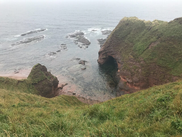
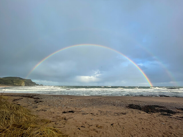
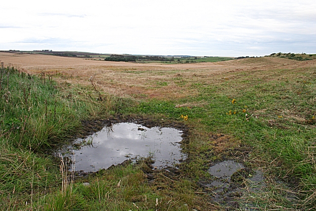
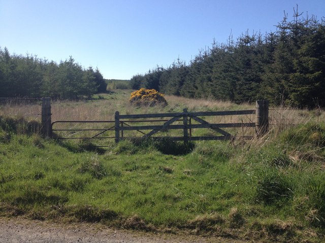
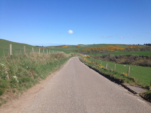
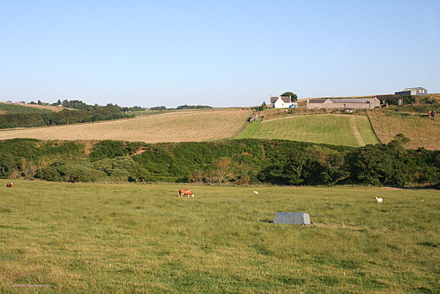
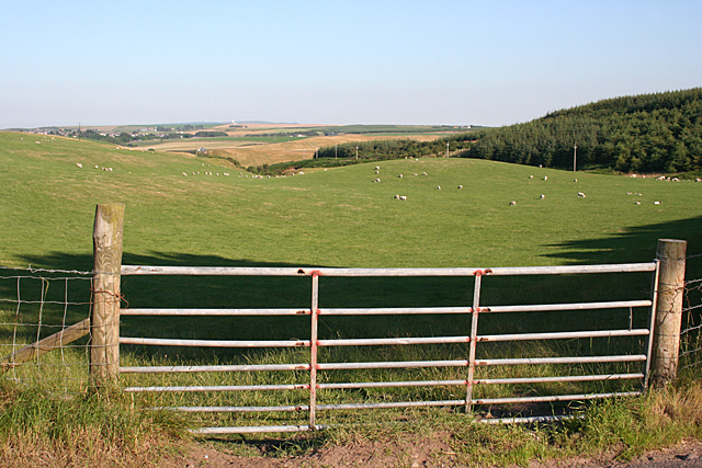
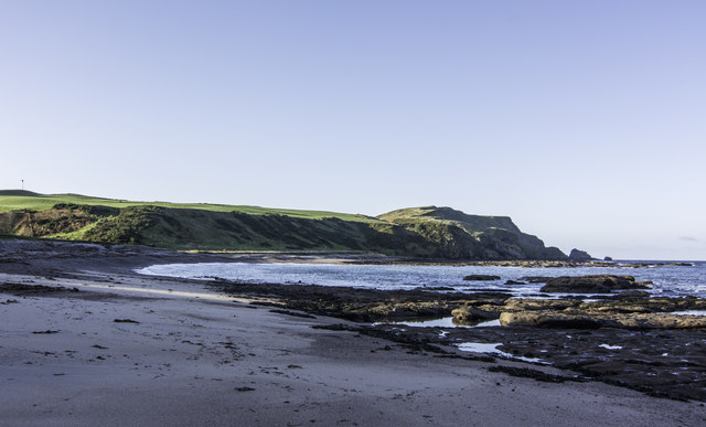
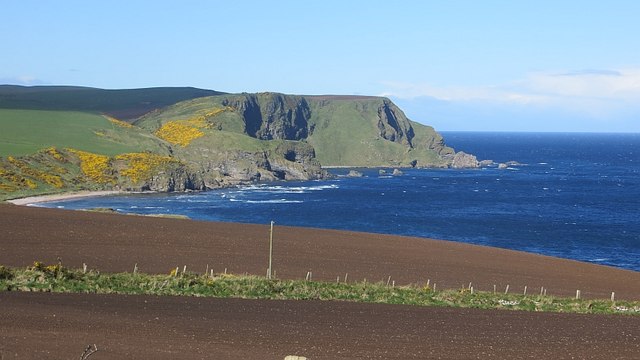
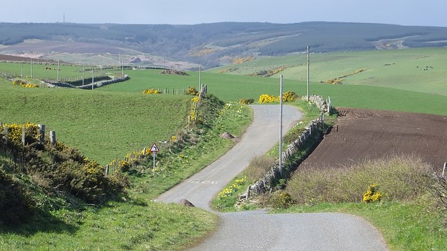
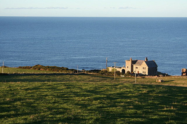
The village is known for its picturesque surroundings, boasting stunning views of the North Sea and the rugged Scottish coastline. The area is rich in natural beauty, with rolling hills and fertile farmland surrounding the village. Aberdour also benefits from its proximity to several sandy beaches, making it a popular destination for locals and tourists alike during the summer months.

Historically, Aberdour has strong ties to the fishing industry, which has played a significant role in shaping the village's identity. Although the industry has declined in recent years, remnants of its past can still be seen in the local harbor, which is now primarily used for recreational purposes.

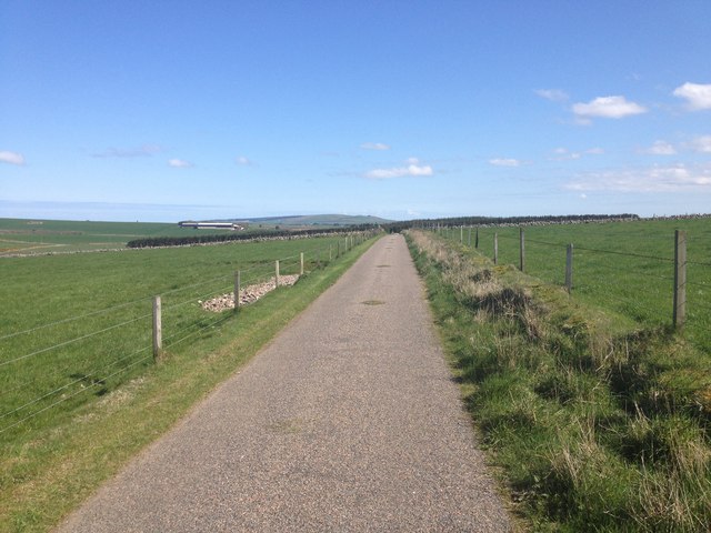
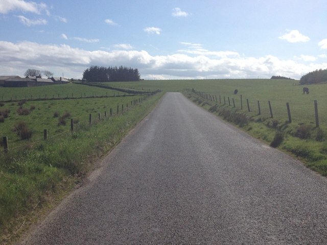
In terms of amenities, Aberdour offers a range of essential services, including a primary school, a community hall, and a small grocery store. The village is well-connected to nearby towns and cities via a network of roads, making it easily accessible by car.

Overall, Aberdour is a charming coastal village that offers a tranquil and scenic retreat for both residents and visitors who appreciate the beauty of the Scottish countryside.

If you have any feedback on the listing, please let us know in the comments section below.

Aberdour, New Images

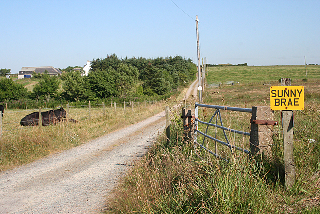
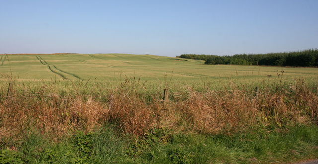
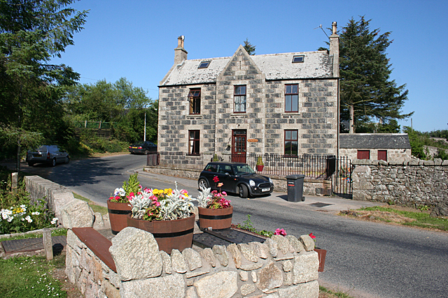
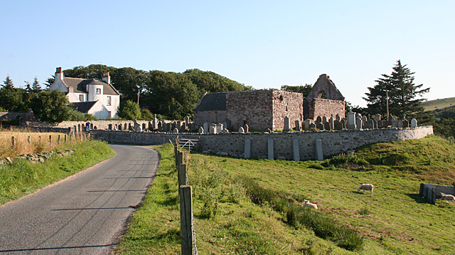
Images are sourced within 2km of 57.655062/-2.1954678 or Grid Reference NJ8862. Thanks to Geograph Open Source API. All images are credited.

Caves at Aberdour beach From the top of the cliff looking down towards the beach and caves
Caves at Aberdour beach
From the top of the cliff looking down towards the beach and caves
Beach Rainbow
Beach Rainbow
Lochlip A partly cut barley field under a dull sky at Lochlip.
Lochlip
A partly cut barley field under a dull sky at Lochlip.
Minor road near Hindstones
Minor road near North Cowfords
Minor road near New Aberdour
Forestry near New Aberdour
B9031 near Towie
B9031 near Towie
North Cowfords Stone farm buildings, and a breezeblock one, by the road at North Cowfords.
North Cowfords
Stone farm buildings, and a breezeblock one, by the road at North Cowfords.
South Killyquharn Sunny Brae and South Killyquharn share an access road for a couple of hundred metres.
South Killyquharn
Sunny Brae and South Killyquharn share an access road for a couple of hundred metres.
Field of Barley One of many such in this part of the world. Interestingly, the crop doesn't seem to be nearly as ripe here as they are further inland.
Field of Barley
One of many such in this part of the world. Interestingly, the crop doesn't seem to be nearly as ripe here as they are further inland.
Old Manse The type of stonework, with the small pieces between the larger stones, has a special name, which escapes me at the moment. However it's not all that common in this area.

<a href="https://www.geograph.org.uk/photo/6814017">NJ8862 : Rear view of the former Free Church manse, New Aberdour</a> is the rear view of the house.
Old Manse
The type of stonework, with the small pieces between the larger stones, has a special name, which escapes me at the moment. However it's not all that common in this area. NJ8862 : Rear view of the former Free Church manse, New Aberdour is the rear view of the house.
St Drostan's Kirk and Beach House The ruins are those of St Drostan's Kirk, dating from the early 16th century. Beach House is the former manse. It was built by Alexander Laing with William Robertson in Regency style, with a semicircular stair at the rear.
St Drostan's Kirk and Beach House
The ruins are those of St Drostan's Kirk, dating from the early 16th century. Beach House is the former manse. It was built by Alexander Laing with William Robertson in Regency style, with a semicircular stair at the rear.
Pitnacalder Pitnacalder stands above the Dour Water where it emerges from Drostan Den.
Pitnacalder
Pitnacalder stands above the Dour Water where it emerges from Drostan Den.
Looking towards Drostan Den The actual den, through which the headwaters of the Dour flow, is hidden by the lie of the land. It is to the right, between the field and the wood.
Looking towards Drostan Den
The actual den, through which the headwaters of the Dour flow, is hidden by the lie of the land. It is to the right, between the field and the wood.
New Aberdour Beach
New Aberdour Beach
View towards Strahangles Point Arable foreground and a wild coast between Rosehearty and Pennan.
View towards Strahangles Point
Arable foreground and a wild coast between Rosehearty and Pennan.
Winding road The coast road passes Dundarg Castle.
Winding road
The coast road passes Dundarg Castle.
Show me another place!

Aberdour, New is located at Grid Ref: NJ8862 (Lat: 57.655062, Lng: -2.1954678)

Unitary Authority: Aberdeenshire

Police Authority: North East

What 3 Words

///codes.outsmart.pools. Near Rosehearty, Aberdeenshire

Nearby Locations

New Aberdour Aberdour, New

Related Wikis

Nearby Amenities

Located within 500m of 57.655062,-2.1954678
New Aberdour
Name Gd: Obar Dobhair
Name Sco: New Aiberdour
Place: village
Population: 329
Wikidata: Q7005177
Wikipedia: en:New Aberdour
Lat/Long: 57.6587926/-2.195062
Generator Method: photovoltaic
Generator Output Electricity: yes
Generator Source: solar
Generator Type: solar_photovoltaic_panel
Location: roof
Power: generator
Lat/Long: 57.6549886/-2.1963188
Power: pole
Lat/Long: 57.6568003/-2.1992639
Power: pole
Lat/Long: 57.6564502/-2.2000766
Power: pole
Lat/Long: 57.6559307/-2.1997949
Power: pole
Lat/Long: 57.6553373/-2.1995039
Power: pole
Lat/Long: 57.6547253/-2.1992236
Power: pole
Lat/Long: 57.6552075/-2.2030941
Power: pole
Lat/Long: 57.6550539/-2.2019354
Power: pole
Lat/Long: 57.654909/-2.2007257
Power: pole
Lat/Long: 57.6543687/-2.2016591
Power: pole
Lat/Long: 57.6542115/-2.2007981
Power: pole
Lat/Long: 57.6593709/-2.1938557
Power: pole
Lat/Long: 57.6592744/-2.1926751
Removed Amenity: telephone
Lat/Long: 57.6594905/-2.1949873
Power: pole
Lat/Long: 57.6544654/-2.1955898
Power: pole
Lat/Long: 57.6545724/-2.1970905
Power: pole
Lat/Long: 57.6546713/-2.1985041
Power: pole
Lat/Long: 57.6539219/-2.2018274
Bus Stop
Low Street
Bus: yes
Naptan AtcoCode: 630022331
Naptan Bearing: S
Naptan CommonName: Low Street
Naptan Indicator: before
Naptan NaptanCode: 23626285
Naptan Street: High Street
Naptan Verified: no
Public Transport: platform
Source: naptan;bing;naptan_compare_tool
Lat/Long: 57.6560001/-2.1959969
Bus Stop
Low Street
Bus: yes
Naptan AtcoCode: 630022332
Naptan Bearing: N
Naptan CommonName: Low Street
Naptan Indicator: after
Naptan NaptanCode: 23626284
Naptan Street: High Street
Naptan Verified: no
Public Transport: platform
Source: naptan;bing;naptan_compare_tool
Lat/Long: 57.6558931/-2.1962069
Bus Stop
Dower Hotel
Bus: yes
Naptan AtcoCode: 630022342
Naptan Bearing: N
Naptan CommonName: Dower Hotel
Naptan Indicator: opp
Naptan NaptanCode: 23626289
Naptan Street: High Street
Naptan Verified: no
Public Transport: platform
Source: naptan;bing;naptan_compare_tool
Lat/Long: 57.6576405/-2.1955882
Bus Stop
Dower Hotel
Bus: yes
Naptan AtcoCode: 630022341
Naptan Bearing: S
Naptan CommonName: Dower Hotel
Naptan Indicator: at
Naptan NaptanCode: 23626292
Naptan Street: High Street
Naptan Verified: no
Public Transport: platform
Source: naptan;bing;naptan_compare_tool
Lat/Long: 57.6577411/-2.1953978
The data included in this document is from www.openstreetmap.org. The data is made available under ODbL.

Have you been to Aberdour, New?

Leave your review of Aberdour, New below (or comments, questions and feedback).