Benvie

Settlement in Angus

Scotland

Benvie

Barley field next to the A90 Ripening field of barley near Mylnefield on the south side of the A90.
Barley field next to the A90 Credit: Scott Cormie

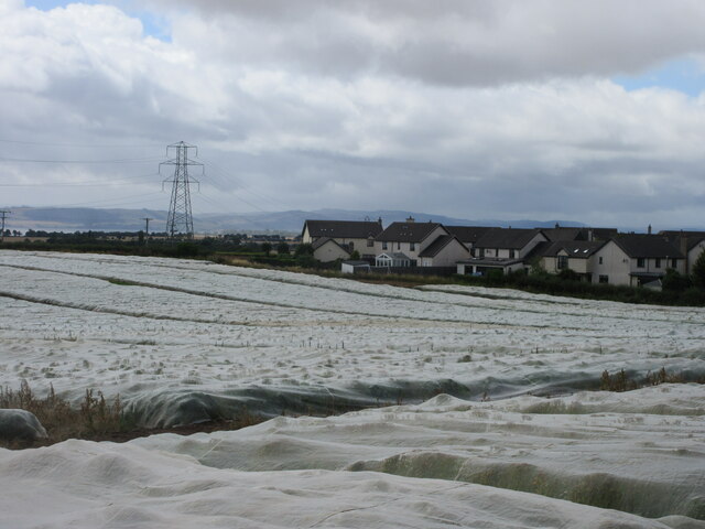
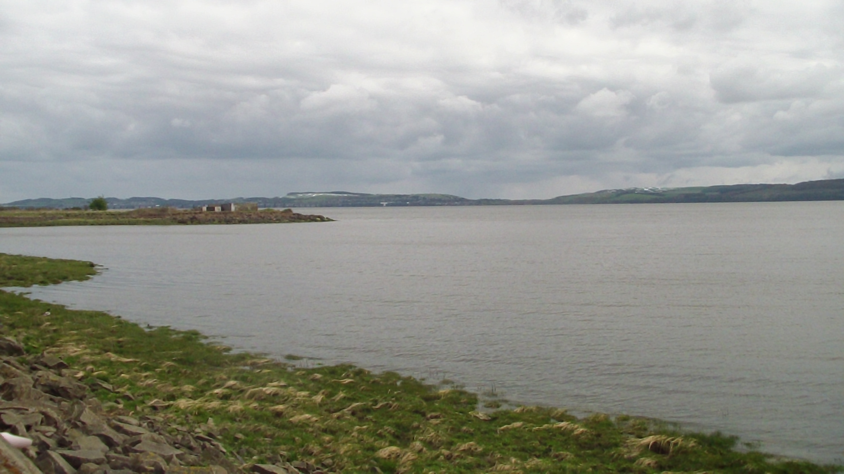
Benvie is a small village located in the county of Angus, Scotland. It is situated about 4 miles northwest of Dundee, the fourth-largest city in Scotland. The village is surrounded by picturesque countryside, with rolling hills and farmland, offering stunning views and a peaceful atmosphere.

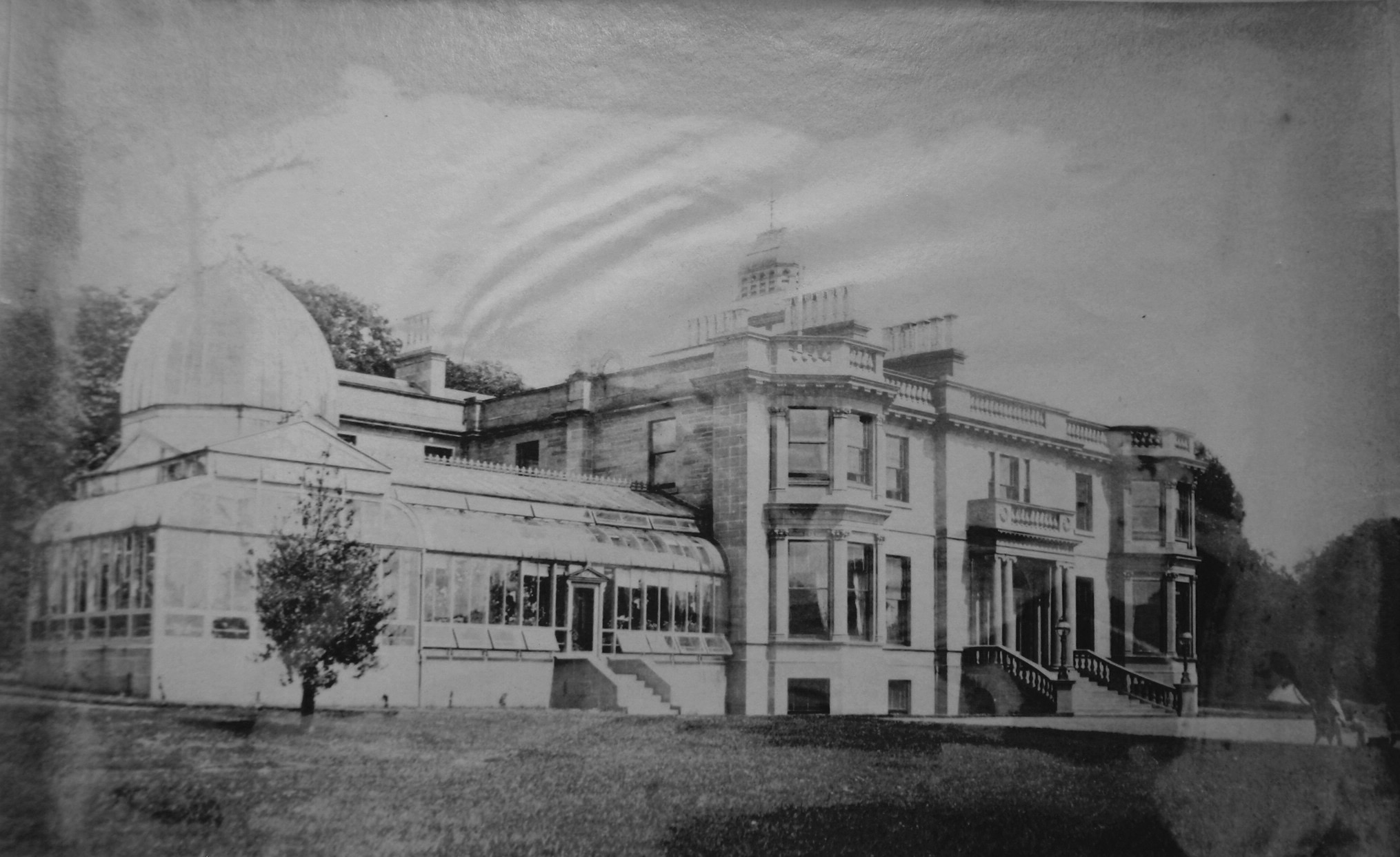
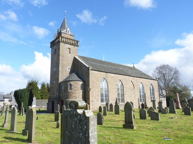
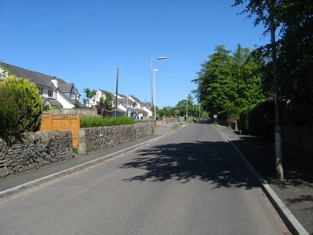
With a population of around 200 residents, Benvie is a close-knit community known for its friendly and welcoming atmosphere. The village retains its rural charm, with a few traditional stone-built houses and cottages scattered throughout the area. There is also a small church, which adds to the village's quaint and tranquil ambiance.

One of the main attractions in Benvie is its proximity to nature. The village is situated near the Sidlaw Hills, a range of hills that provides opportunities for outdoor activities such as hiking, cycling, and wildlife spotting. The area is home to various species of birds, making it a popular destination for birdwatchers.

Despite its small size, Benvie benefits from its close proximity to Dundee. Residents can easily access the city's amenities, including shopping centers, restaurants, and cultural attractions. Dundee is also known for its vibrant arts and cultural scene, with several museums, galleries, and theaters.

In conclusion, Benvie is a charming village nestled in the Angus countryside, offering a peaceful and rural lifestyle while being conveniently close to the amenities of Dundee. Its beautiful surroundings and friendly community make it an attractive place to live or visit.

If you have any feedback on the listing, please let us know in the comments section below.

Benvie Images

Images are sourced within 2km of 56.466208/-3.1052236 or Grid Reference NO3231. Thanks to Geograph Open Source API. All images are credited.

Barley field next to the A90 Ripening field of barley near Mylnefield on the south side of the A90.
Barley field next to the A90
Ripening field of barley near Mylnefield on the south side of the A90.
Stubble field east of Longforgan A harvested field south of the A90 to the east of Longforgan, with the Firth of Tay just visible in the distance.
Stubble field east of Longforgan
A harvested field south of the A90 to the east of Longforgan, with the Firth of Tay just visible in the distance.
Covered field east of Longforgan Polythene covered field on the east side of Longforgan.
Covered field east of Longforgan
Polythene covered field on the east side of Longforgan.
Longforgan Village Shop The Village Shop & Post Office on the Main Street in Longforgan.
Longforgan Village Shop
The Village Shop & Post Office on the Main Street in Longforgan.
Longforgan Parish Church Longforgan Parish Church from the churchyard to the south-east.
Longforgan Parish Church
Longforgan Parish Church from the churchyard to the south-east.
Lych Gate in Longforgan Churchyard The lych gate between the churchyard of Longforgan Parish Church and the newer cemetery to the south.
Lych Gate in Longforgan Churchyard
The lych gate between the churchyard of Longforgan Parish Church and the newer cemetery to the south.
Longforgan War Memorial The war memorial inside Longforgan Remembrance Garden on the south side of the Main Street.
Longforgan War Memorial
The war memorial inside Longforgan Remembrance Garden on the south side of the Main Street.
Grave Inside Longforgan Church The grave is of Andrew Smith of Huntly and reads round the four sides:

Heir rests ane trev Covenanter namd Andro Smyth in Huntlie Aged 63 1643

Within the rectangle is another inscription: My saul to praise the Lord.
Grave Inside Longforgan Church
The grave is of Andrew Smith of Huntly and reads round the four sides: Heir rests ane trev Covenanter namd Andro Smyth in Huntlie Aged 63 1643 Within the rectangle is another inscription: My saul to praise the Lord.
Longforgan Parish Church
Castle Road, Longforgan
Barley stubble, Longforgan
Farmland between East Bank and West Bank near Longforgan
Grassland near East Bank
Minor road towards Longforgan
Silage bales near East Bank
Reed beds, Kingoodie bay Extensive areas of reed beds line the north shore of the Tay in Kingoodie Bay.  In the past reeds from the Tay have been used for thatching (see NO3030).  This view is taken from the minor road in the south east corner of the grid box and looks south east towards the Tay rail bridge.
Reed beds, Kingoodie bay
Extensive areas of reed beds line the north shore of the Tay in Kingoodie Bay. In the past reeds from the Tay have been used for thatching (see NO3030). This view is taken from the minor road in the south east corner of the grid box and looks south east towards the Tay rail bridge.
Barn conversion near East Bank. Old barns being converted beside East Bank Farm. New housing in Longforgan is visible on the skyline.
Barn conversion near East Bank.
Old barns being converted beside East Bank Farm. New housing in Longforgan is visible on the skyline.
Show me another place!

Benvie is located at Grid Ref: NO3231 (Lat: 56.466208, Lng: -3.1052236)

Unitary Authority: Angus

Police Authority: Tayside

What 3 Words

///cargo.enough.collects. Near Longforgan, Perth & Kinross

Nearby Locations

Benvie

Related Wikis

Balruddery

Balruddery House by Longforgan in Perthshire, Scotland, was designed by David Neave for James Webster circa 1820. In about 1879 it was bought by James...

Longforgan

Longforgan is a village and parish in the Carse of Gowrie, in Perth and Kinross, Scotland. It lies 5 miles (8 kilometres) west of Dundee on the main A90...

Fowlis Castle

Fowlis Castle is situated five miles north-west of Dundee, Scotland, in the hamlet of Fowlis. It is a tower house dating from the seventeenth century....

Longforgan railway station

Longforgan railway station served the village of Longforgan, Perth and Kinross, Scotland from 1847 to 1956 on the Dundee and Perth Railway. == History... ==

Liff, Angus

Liff is a village in Angus, Scotland, situated 4+1⁄2 miles (7 kilometres) west-northwest of Dundee on a south-facing slope two miles (three kilometres...

Scottish Crop Research Institute

The Scottish Crop Research Institute more commonly known as SCRI was a scientific institute located in Invergowrie near Dundee, Scotland. As of April 2011...

Kingoodie

Kingoodie (Scottish Gaelic: Ceann Gaothach or Scottish Gaelic: Ceann na Gaoithe "windy head(land)") is a hamlet about 4 miles (6.4 km) south west of Dundee...

HM Prison Castle Huntly

Castle Huntly is a castle in Scotland, now used as a prison under the name HMP Castle Huntly. It is located approximately 7 miles (11 km) west of Dundee...

Nearby Amenities

Located within 500m of 56.466208,-3.1052236
Material: wood
Power: pole
Lat/Long: 56.4701184/-3.107661
Material: wood
Power: pole
Lat/Long: 56.4697599/-3.1070092
Material: wood
Power: pole
Lat/Long: 56.4694058/-3.1063601
Material: wood
Power: pole
Lat/Long: 56.4690457/-3.1057084
Material: wood
Power: pole
Lat/Long: 56.4686931/-3.1050566
Material: wood
Power: pole
Lat/Long: 56.4683123/-3.104268
Material: wood
Power: pole
Lat/Long: 56.4679538/-3.103517
Material: wood
Power: pole
Lat/Long: 56.4676026/-3.1027767
Material: wood
Power: pole
Lat/Long: 56.4672685/-3.1020753
Material: wood
Power: pole
Lat/Long: 56.4666321/-3.1012076
Material: wood
Power: pole
Lat/Long: 56.462918/-3.1055501
Material: wood
Power: pole
Lat/Long: 56.4638686/-3.1035465
Material: wood
Power: pole
Lat/Long: 56.46359/-3.1040883
Material: wood
Power: pole
Lat/Long: 56.4632551/-3.1048286
Material: wood
Power: pole
Lat/Long: 56.4625409/-3.1064004
Material: wood
Power: pole
Lat/Long: 56.4621497/-3.1072319
Material: wood
Power: pole
Lat/Long: 56.4642272/-3.1027284
Material: wood
Power: pole
Lat/Long: 56.4645325/-3.1019908
Material: wood
Power: pole
Lat/Long: 56.4648629/-3.1012344
Material: wood
Power: pole
Lat/Long: 56.4651904/-3.100462
Material: wood
Power: pole
Lat/Long: 56.4655223/-3.0997378
Material: wood
Power: pole
Lat/Long: 56.4658445/-3.0989814
Material: wood
Power: pole
Lat/Long: 56.466164/-3.0982548
Material: wood
Power: pole
Lat/Long: 56.4664884/-3.0974793
Power: pole
Lat/Long: 56.4660364/-3.1003945
Power: pole
Lat/Long: 56.4651738/-3.1004401
Power: pole
Lat/Long: 56.4646787/-3.1003744
Power: pole
Lat/Long: 56.4641638/-3.1003553
Power: pole
Lat/Long: 56.4636324/-3.1003553
Power: pole
Lat/Long: 56.4630062/-3.1003638
The data included in this document is from www.openstreetmap.org. The data is made available under ODbL.

Have you been to Benvie?

Leave your review of Benvie below (or comments, questions and feedback).