Netherthorpe
Settlement in Derbyshire Chesterfield
England
Netherthorpe
Netherthorpe is a small village located in the county of Derbyshire, England. Situated approximately 3 miles south of the town of Worksop, Netherthorpe is a rural settlement that offers a peaceful and picturesque environment for its residents.
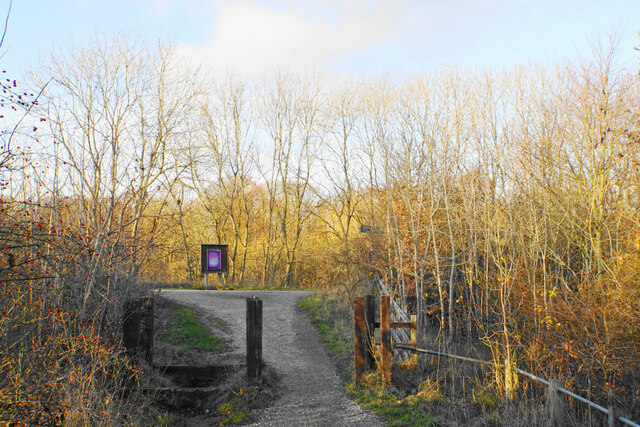
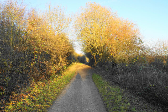
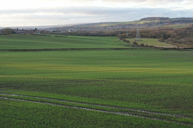
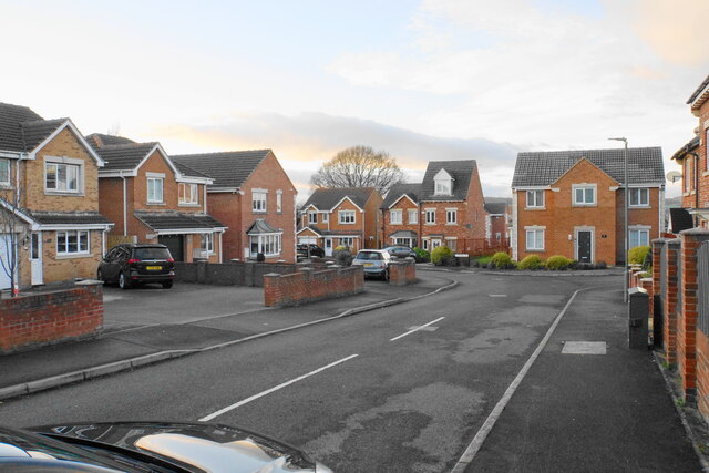
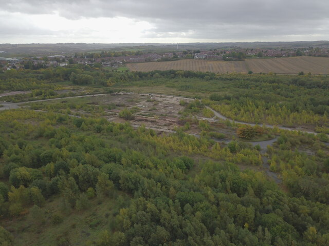
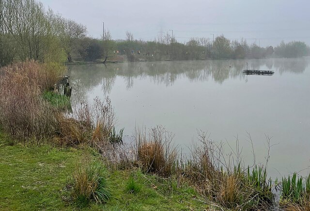
With a population of around 400 people, Netherthorpe is known for its close-knit community and friendly atmosphere. The village is composed mainly of traditional stone-built houses, giving it a charming and timeless appeal. The surrounding countryside is characterized by rolling hills, green fields, and scenic woodlands, providing ample opportunities for outdoor activities such as hiking and cycling.
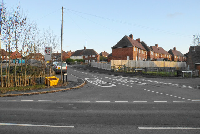
Netherthorpe is well-connected to neighboring towns and cities, making it an ideal location for those seeking a tranquil lifestyle within reach of urban amenities. The nearby town of Worksop offers a range of shops, supermarkets, and leisure facilities, as well as excellent transport links, including a railway station and access to major road networks.
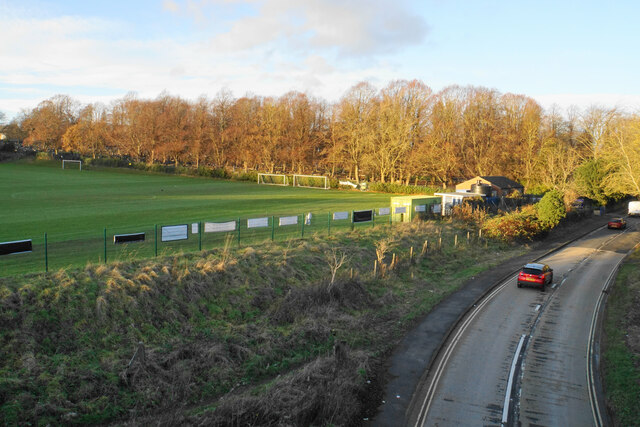
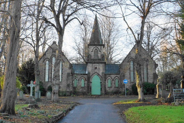
The village itself boasts a few local amenities, including a primary school, a church, and a village hall that serves as a hub for community events and gatherings. Residents also have access to various recreational facilities, such as a children's playground and sports fields.
Overall, Netherthorpe is a charming and idyllic village that offers a peaceful rural lifestyle while remaining conveniently connected to nearby towns and cities. Its picturesque surroundings and strong sense of community make it an attractive place to live for those seeking a tranquil and close-knit community.
If you have any feedback on the listing, please let us know in the comments section below.
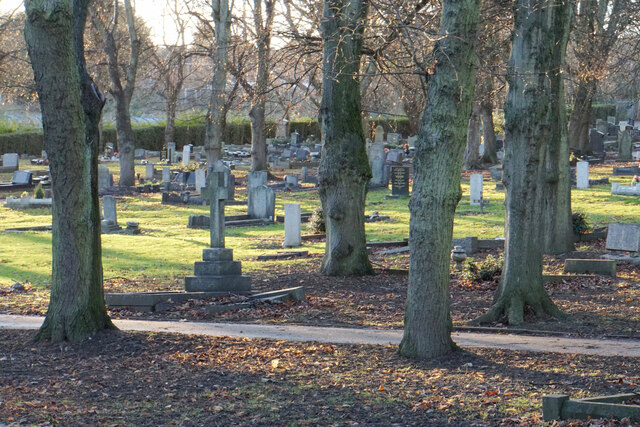
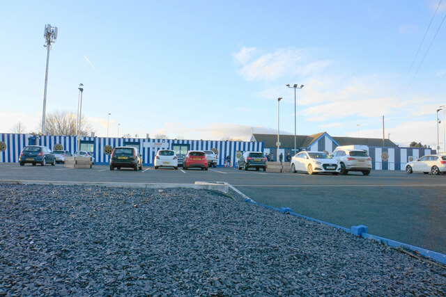
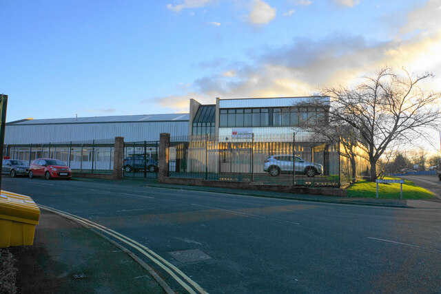
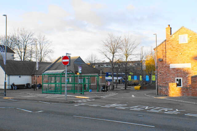
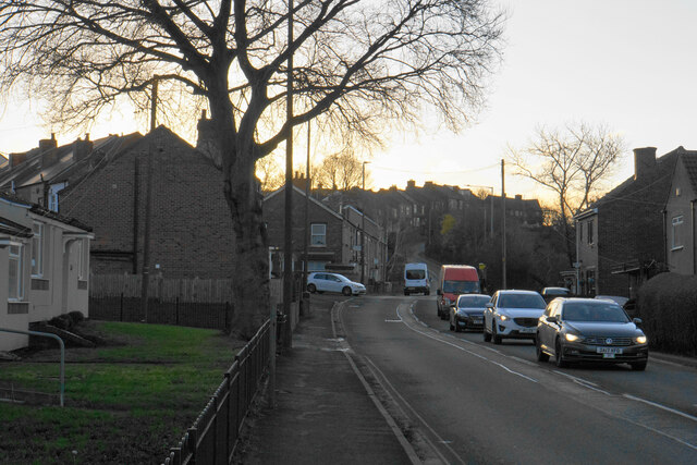
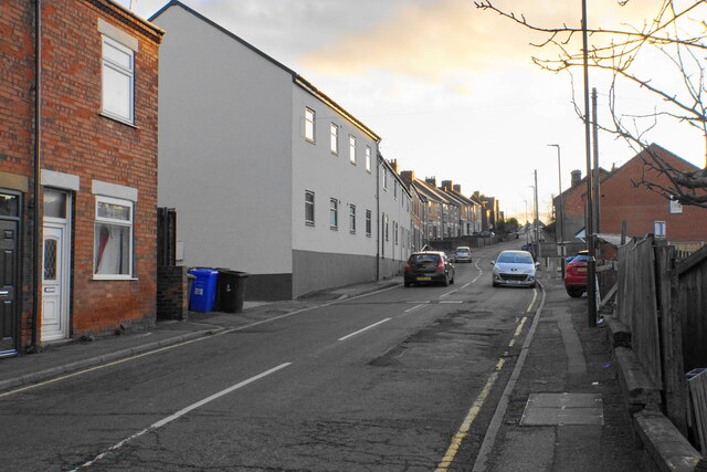
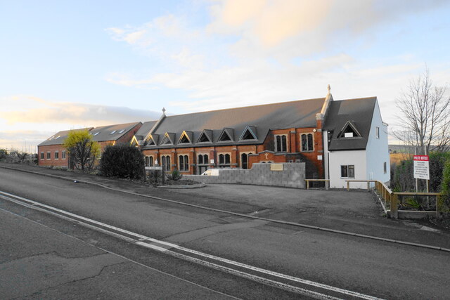
Netherthorpe Images
Images are sourced within 2km of 53.267551/-1.341746 or Grid Reference SK4474. Thanks to Geograph Open Source API. All images are credited.

Netherthorpe is located at Grid Ref: SK4474 (Lat: 53.267551, Lng: -1.341746)
Administrative County: Derbyshire
District: Chesterfield
Police Authority: Derbyshire
What 3 Words
///motel.verge.monday. Near Staveley, Derbyshire
Nearby Locations
Related Wikis
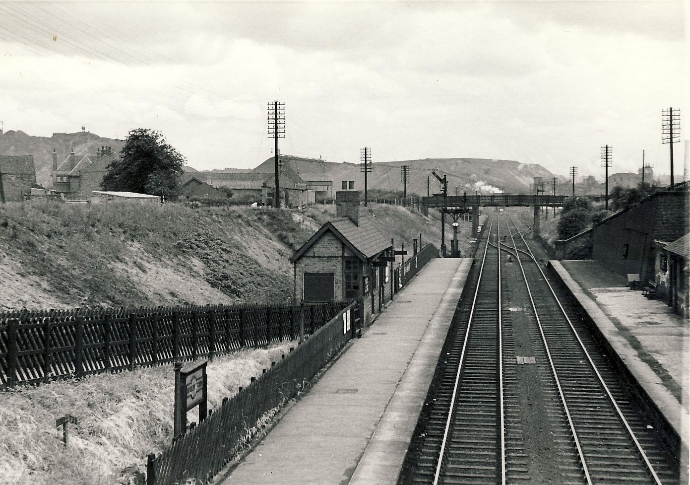
Staveley Town railway station
Staveley Town is a disused railway station in Staveley, Derbyshire in England. == Similarly-named stations == This station should not be confused with...

Netherthorpe School
Netherthorpe School is a non-selective secondary school with academy status based in Staveley in the Chesterfield district of Derbyshire, England. ��2...

Staveley Central railway station
Staveley Central was a railway station serving the town of Staveley, Derbyshire, England. == History == The station was on the Great Central Main Line...
Netherthorpe, Derbyshire
Netherthorpe is a suburban area adjoining the town of Staveley, Derbyshire, to the east, lying just west of the River Doe Lea. The village is best known...
Nearby Amenities
Located within 500m of 53.267551,-1.341746Have you been to Netherthorpe?
Leave your review of Netherthorpe below (or comments, questions and feedback).