Netherfield
Settlement in Nottinghamshire Gedling
England
Netherfield
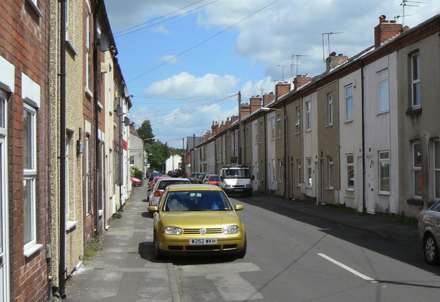
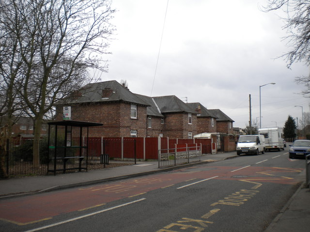
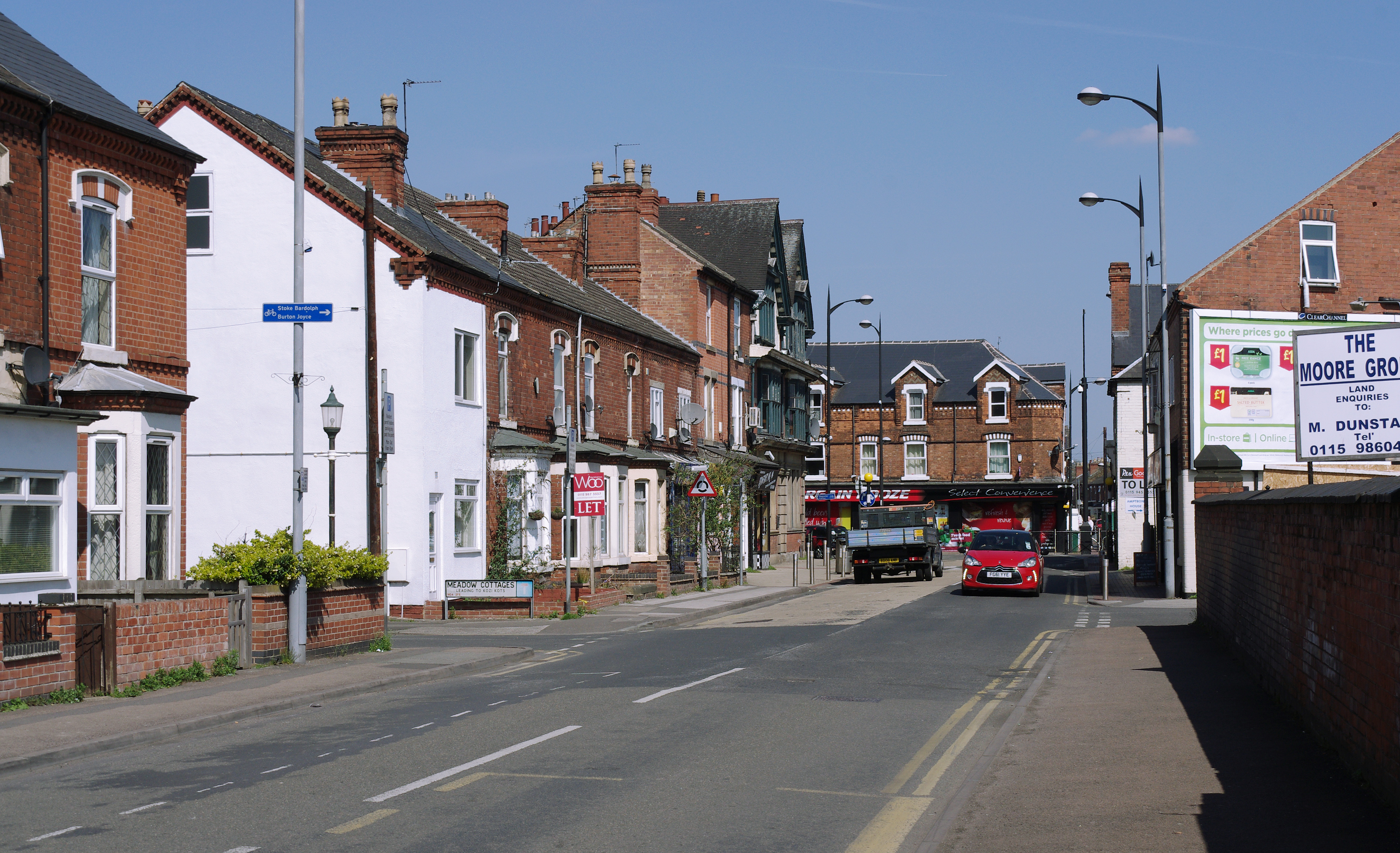
Netherfield is a small town located in the county of Nottinghamshire, England. Situated approximately 4 miles east of Nottingham city center, it falls within the borough of Gedling. With a population of around 7,000 residents, Netherfield is a close-knit community with a rich history and a range of amenities.
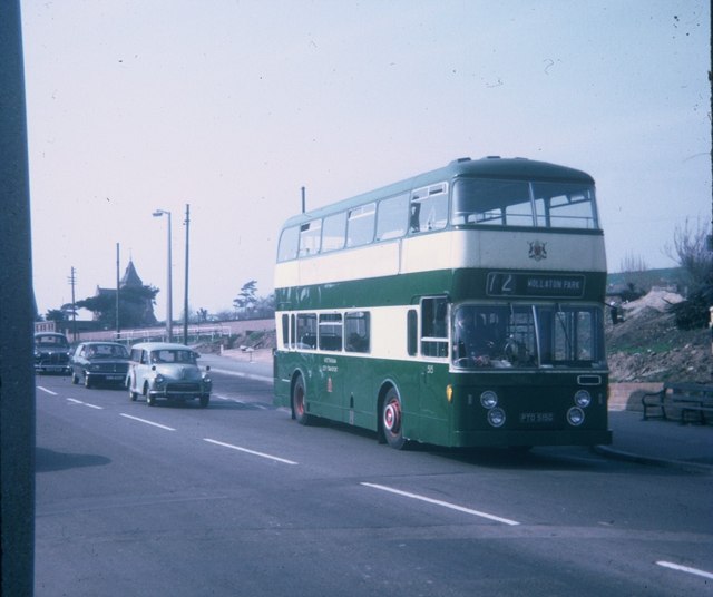
The town is well-connected to neighboring areas, with good road links to Nottingham and other nearby towns. There are also regular bus services providing convenient transportation options for commuters and visitors. Netherfield benefits from its proximity to the A612, which serves as a major route connecting the town to the wider region.
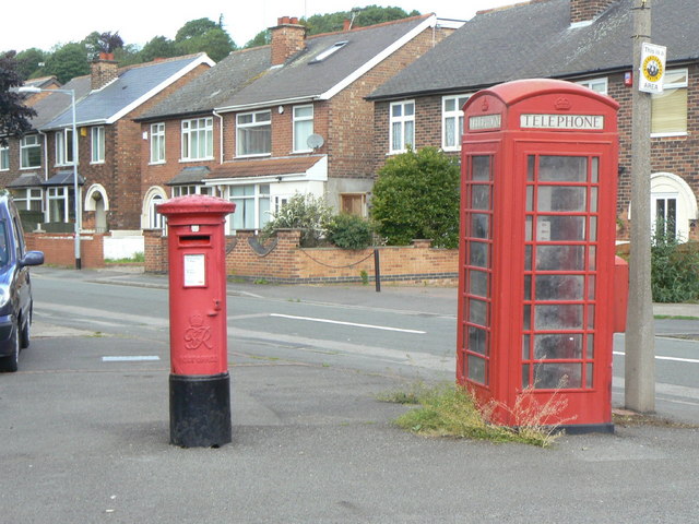
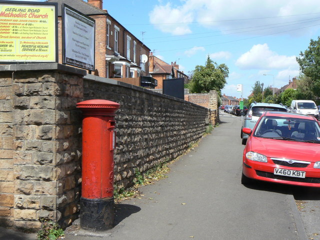
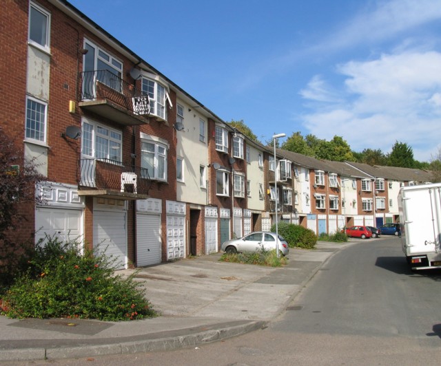
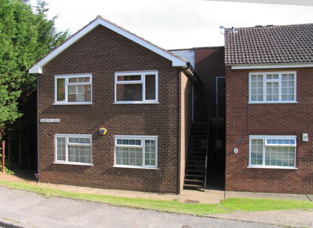
Netherfield has a diverse range of housing, including both modern developments and older, more traditional properties. The town offers a variety of amenities, including several local shops, supermarkets, and a post office, catering to the everyday needs of its residents. In terms of education, Netherfield is home to a primary school that provides education for children aged 4-11.
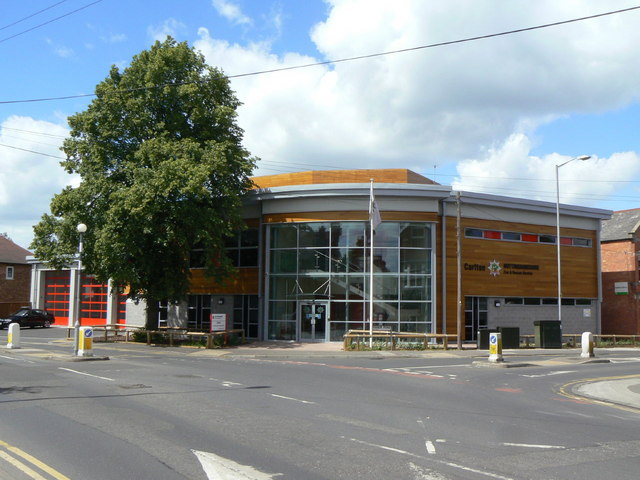
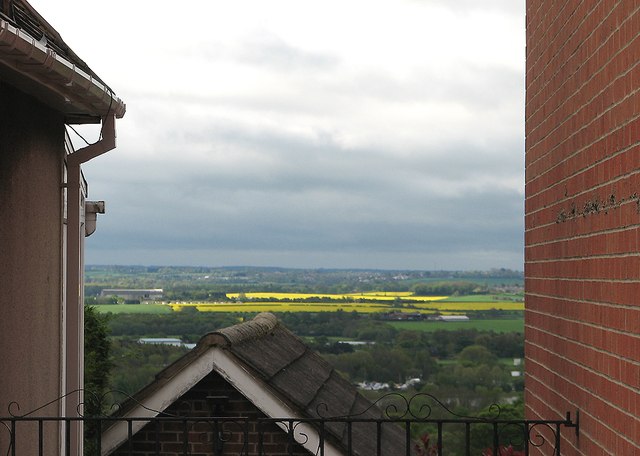
For leisure and recreation, Netherfield boasts a number of green spaces, including a local park with play areas and sports facilities. The town also has a community center that hosts various events and activities throughout the year, fostering a strong sense of community spirit.
In summary, Netherfield is a small but vibrant town in Nottinghamshire, offering a close-knit community, convenient transport links, and a range of amenities for its residents.
If you have any feedback on the listing, please let us know in the comments section below.
Netherfield Images
Images are sourced within 2km of 52.962689/-1.067976 or Grid Reference SK6241. Thanks to Geograph Open Source API. All images are credited.


Netherfield is located at Grid Ref: SK6241 (Lat: 52.962689, Lng: -1.067976)
Administrative County: Nottinghamshire
District: Gedling
Police Authority: Nottinghamshire
What 3 Words
///moth.drank.cowboy. Near Radcliffe on Trent, Nottinghamshire
Nearby Locations
Related Wikis
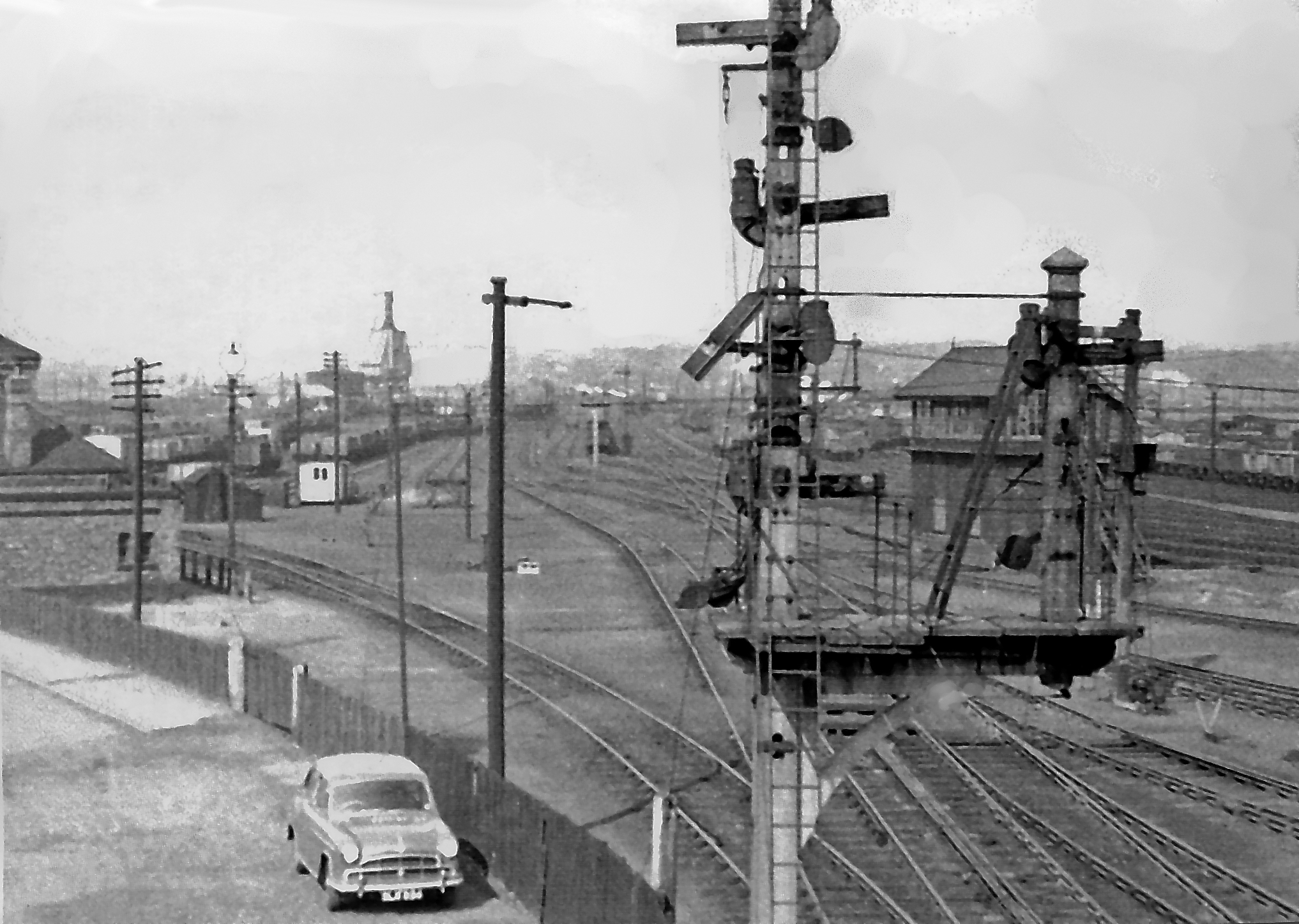
Colwick marshalling yard
Colwick marshalling yard, also known as Colwick sidings, was a large railway marshalling yard in Netherfield, Nottingham designed for the concentration...
Netherfield, Nottinghamshire
Netherfield is a town in the Borough of Gedling in Nottinghamshire, England. It is situated to the east of Nottingham's city boundary and is approximately...

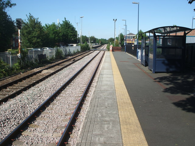
Netherfield railway station
Netherfield railway station (originally opened as Colwick and later known as Netherfield and Colwick) serves the town of Netherfield in the Borough of...

Carlton railway station
Carlton railway station serves the town of Carlton, Nottinghamshire, England. The station is 3 miles (5 km) east of Nottingham on the Nottingham to Lincoln...
Nearby Amenities
Located within 500m of 52.962689,-1.067976Have you been to Netherfield?
Leave your review of Netherfield below (or comments, questions and feedback).