Bents

Settlement in West Lothian

Scotland

Bents

Woodmuir Burn Shallow and slow flowing, about to enter a wooded area
Woodmuir Burn Credit: Jim Smillie

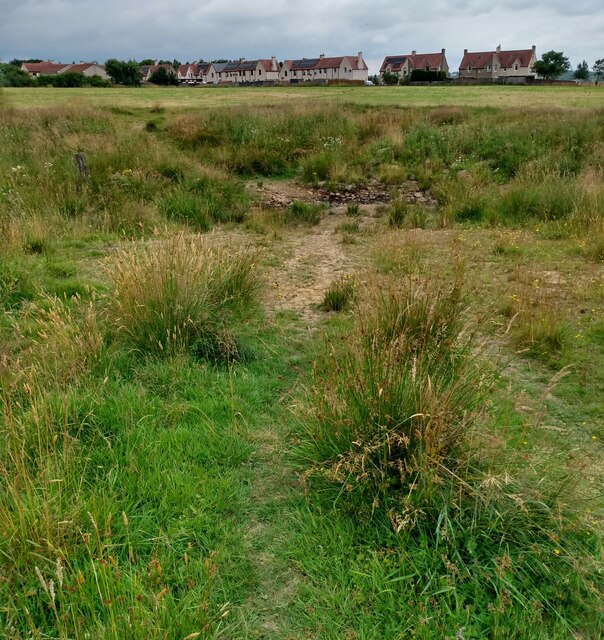
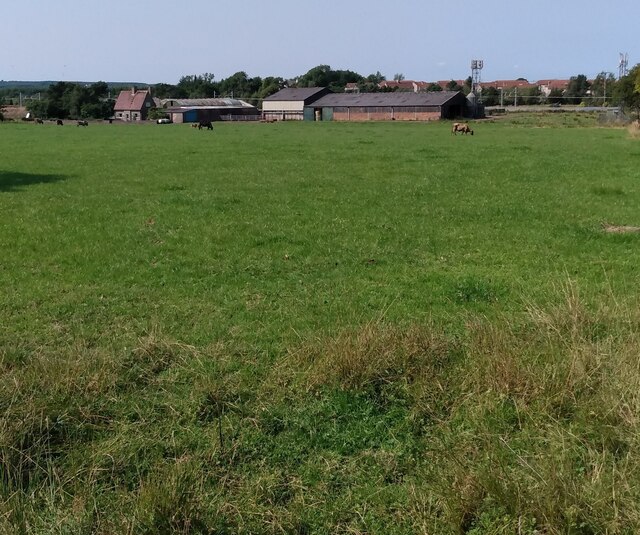
Bents is a small village located in West Lothian, Scotland. Situated approximately 6 miles west of the town of Livingston, Bents is surrounded by picturesque countryside and offers a tranquil setting for its residents.

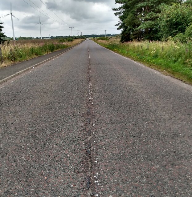
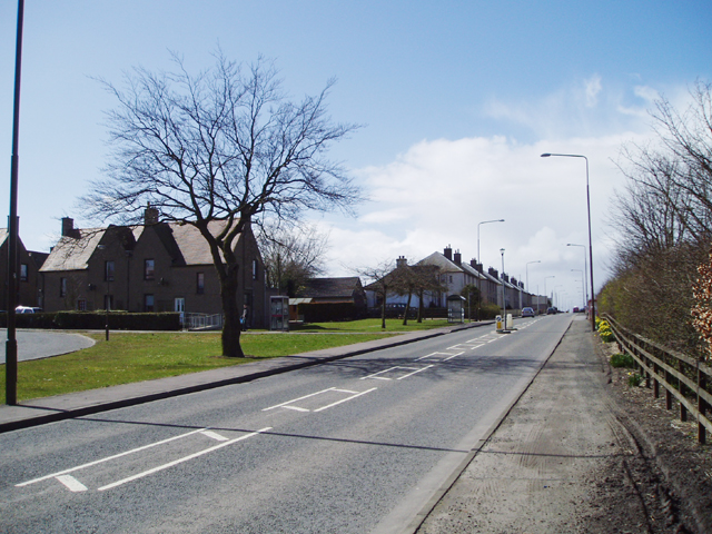
The village is known for its rural charm and close-knit community. It features a mix of traditional stone-built cottages and newer residential developments, providing a range of housing options for individuals and families. Bents is well-connected to nearby towns and cities, with easy access to major road networks such as the M8 and A71, making commuting convenient.

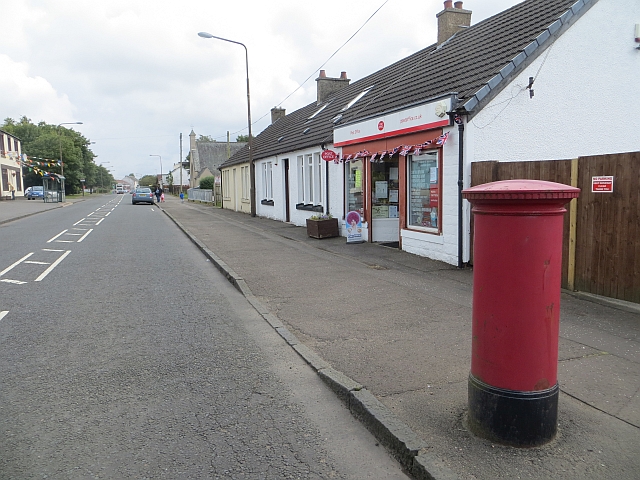
Despite its small size, Bents boasts a range of amenities that cater to the needs of its residents. The village has a local primary school, ensuring that young children have access to education within their community. Additionally, a convenience store and a village pub provide essential services and a social hub for locals.

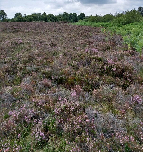
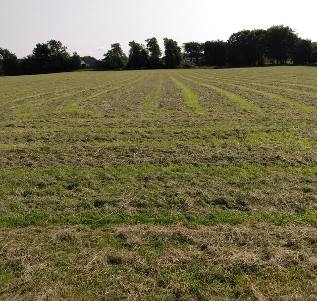
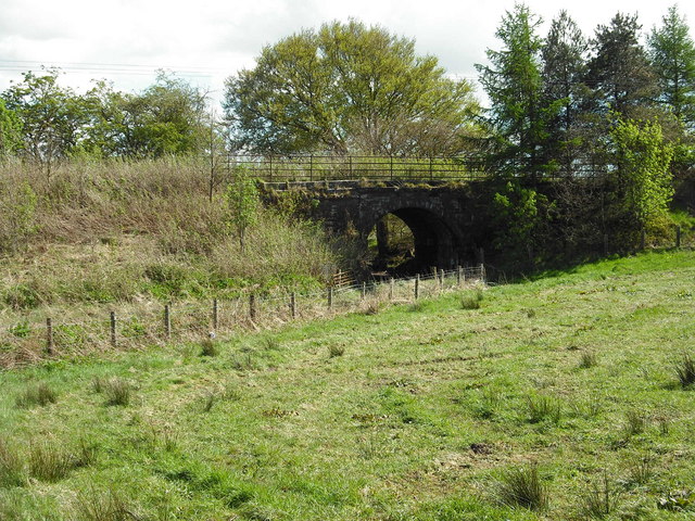
The surrounding countryside offers numerous opportunities for outdoor activities and exploration. Residents can enjoy leisurely walks along scenic trails, or engage in more adventurous pursuits such as hiking and cycling. Bents is also within close proximity to the Pentland Hills Regional Park, a popular destination for nature enthusiasts.

Overall, Bents offers a peaceful and picturesque lifestyle, making it a desirable place to call home for those seeking a close-knit community and a connection to nature.

If you have any feedback on the listing, please let us know in the comments section below.

Bents Images

Images are sourced within 2km of 55.843991/-3.6446266 or Grid Reference NS9762. Thanks to Geograph Open Source API. All images are credited.

Woodmuir Burn Shallow and slow flowing, about to enter a wooded area
Woodmuir Burn
Shallow and slow flowing, about to enter a wooded area
View over Woodmuir Burn The houses are on Rashiehill Crescent, Breich which faces on to the A71.
View over Woodmuir Burn
The houses are on Rashiehill Crescent, Breich which faces on to the A71.
Corner of a hayfield The Woodmuir Burn flows through the wooded area
Corner of a hayfield
The Woodmuir Burn flows through the wooded area
Former Woodmuir Colliery Shown on 1905 map as Pits Nos 5 & 6.
In operation from 1896 till 1963 with an average of 255 employees.
Former Woodmuir Colliery
Shown on 1905 map as Pits Nos 5 & 6. In operation from 1896 till 1963 with an average of 255 employees.
Road to Woodmuir Colliery Now simply a track between hayfields
Road to Woodmuir Colliery
Now simply a track between hayfields
Vegetation on former mining waste tip Improved grazing beyond
Vegetation on former mining waste tip
Improved grazing beyond
Heather moorland Between the A71 and railway line
Heather moorland
Between the A71 and railway line
View to railway embankment Edinburgh-Glasgow via Shotts line
View to railway embankment
Edinburgh-Glasgow via Shotts line
A71 heading east Long straight stretch crossing Nether Longford Moss
A71 heading east
Long straight stretch crossing Nether Longford Moss
Woodmuir Burn A few hundred metres from meeting Breich water
Woodmuir Burn
A few hundred metres from meeting Breich water
Bridge over Woodmuir Burn Bridge appears to have been recently repaired
Bridge over Woodmuir Burn
Bridge appears to have been recently repaired
Finding shade Sheep sheltering under former field boundary
Finding shade
Sheep sheltering under former field boundary
Entrance to Meadowhead Originally a farmhouse dating from the 18th century.
The present building was extended and remodelled by a local architect in the 1890's. 
It was a popular hotel 1960's-1980's
Entrance to Meadowhead
Originally a farmhouse dating from the 18th century. The present building was extended and remodelled by a local architect in the 1890's. It was a popular hotel 1960's-1980's
Nether Longford Farm buildings backed by railway line
Nether Longford
Farm buildings backed by railway line
Swathes of cut grass Possibly a second or third cut
Swathes of cut grass
Possibly a second or third cut
Muirhall Whisky Bond Operated by North British Distillers
Muirhall Whisky Bond
Operated by North British Distillers
Bridge over Skolie Burn Replaced former bridge in 2019 <a href="https://www.geograph.org.uk/photo/6182162">NS9862 : Skolie Burn Bridge (1)</a>
Bridge over Skolie Burn
Replaced former bridge in 2019 NS9862 : Skolie Burn Bridge (1)
The Pit Stop Former Miners Welfare, now a Community Hub including "The Village larder"
The Pit Stop
Former Miners Welfare, now a Community Hub including "The Village larder"
Show me another place!

Bents is located at Grid Ref: NS9762 (Lat: 55.843991, Lng: -3.6446266)

Unitary Authority: West Lothian

Police Authority: The Lothians and Scottish Borders

What 3 Words

///shrug.enough.yappy. Near Stoneyburn, West Lothian

Nearby Locations

Bents

Related Wikis

Bents railway station

Bents railway station served the village of Bents, West Lothian, Scotland, from 1865 to 1955 on the Longridge and Bathgate Extension Railway. == History... ==

Stoneyburn

Stoneyburn is a village in West Lothian, Scotland. Nearby towns include Bathgate, Whitburn, Addiewell and Blackburn. == Geography == Stoneyburn is situated...

Foulshiels railway station

Foulshiels railway station served the town of Bathgate, West Lothian, Scotland, from 1850 to 1852 on the Longridge and Bathgate Extension Railway. ��2...

Breich

Breich is a small village lying in the western part of West Lothian, Scotland. It lies on the A71, the Edinburgh to Ayrshire road, which also goes to...

Addiewell

Addiewell (Scots: Aidieswall, Scottish Gaelic: Tobar Adaidh) is a former mining village in the Scottish council area of West Lothian. Historically it lies...

Longridge railway station (Scotland)

Longridge railway station was the original terminus of the Wilsontown, Morningside and Coltness Railway (WM&CR) that served the nearby village of Longridge...

Longridge, West Lothian

Longridge is a village in West Lothian, Scotland. In 2001 the population was 650, with 92.77% of those born in Scotland and 4.31% born in England. Since...

Breich railway station

Breich railway station is a rural railway station serving the village of Breich in West Lothian, Scotland. It is located on the Shotts Line, 21 miles...

Nearby Amenities

Located within 500m of 55.843991,-3.6446266
Bents
Place: village
Source: OS_OpenData_StreetView
Lat/Long: 55.8440756/-3.6409359
Post Box
Collection Times: Mo-Fr 09:00; Sa 07:00
Operator: Royal Mail
Post Box Type: lamp
Ref: EH47 60D
Royal Cypher: scottish_crown
Lat/Long: 55.8416772/-3.6499734
Bus Stop
Bench: no
Bus: yes
Covered: yes
Shelter: yes
Lat/Long: 55.8416743/-3.6500729
Bus Stop
Bench: yes
Naptan AtcoCode: 6290BT04
Naptan NaptanCode: 95623768
Shelter: yes
Lat/Long: 55.8440386/-3.6442501
Crossing
Button Operated: yes
Crossing: traffic_signals
Crossing Ref: pelican
Traffic Calming: table
Lat/Long: 55.8445514/-3.6418423
Bicycle Parking
Bicycle Parking: stands
Capacity: 4
Lat/Long: 55.8445522/-3.6423007
Post Box
Brand: Royal Mail
Brand Wikidata: Q638098
Brand Wikipedia: en:Royal Mail
Collection Times: Mo-Fr 09:00; Sa 07:00
Operator: Royal Mail
Operator Wikidata: Q638098
Post Box Type: lamp
Ref: EH47 59D
Royal Cypher: scottish_crown
Lat/Long: 55.8445917/-3.6413032
Atm
Opening Hours: 24/7
Lat/Long: 55.8445581/-3.6413349
Power: pole
Lat/Long: 55.8418771/-3.6444998
Power: pole
Lat/Long: 55.841831/-3.6446575
Power: pole
Lat/Long: 55.8412621/-3.6461901
Power: pole
Lat/Long: 55.8411169/-3.6467788
Power: pole
Lat/Long: 55.8457582/-3.6383966
Bents
Historic Railway: station
Railway: site
Wikidata: Q105730205
Wikipedia: en:Bents railway station
Lat/Long: 55.8418664/-3.651126
Communication Mobile Phone: yes
Man Made: mast
Tower Construction: tube
Tower Type: communication
Lat/Long: 55.8468045/-3.6412565
The data included in this document is from www.openstreetmap.org. The data is made available under ODbL.

Have you been to Bents?

Leave your review of Bents below (or comments, questions and feedback).