Broughton, Nether

Settlement in Leicestershire Melton

England

Broughton, Nether

Ghost sign in Upper Broughton
Ghost sign in Upper Broughton Credit: David Howard

Broughton Astley is a village located in the district of Harborough, in the county of Leicestershire, England. It is situated approximately 12 miles southeast of Leicester and 6 miles west of Lutterworth. Broughton Astley is part of a larger civil parish which also includes the nearby village of Primethorpe.

The village has a rich history, with evidence of human habitation dating back to the Iron Age. It was mentioned in the Domesday Book in 1086 and has since grown into a thriving community. Broughton Astley is known for its picturesque countryside, with rolling hills and charming rural landscapes.

The village offers a range of amenities to its residents, including local shops, pubs, and restaurants. There are several schools in the area, providing education for children of all ages. Broughton Astley is well-connected to surrounding towns and cities, with good transport links by road and bus services.

The community in Broughton Astley is vibrant and active, with various social and leisure activities available. The village has a number of sports clubs, including football, cricket, and tennis, providing opportunities for residents to stay active and engage in recreational activities.

Overall, Broughton Astley is a peaceful and picturesque village, offering a high quality of life for its residents. With its rich history, natural beauty, and strong community spirit, it is a desirable place to live in Leicestershire.

If you have any feedback on the listing, please let us know in the comments section below.

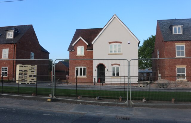
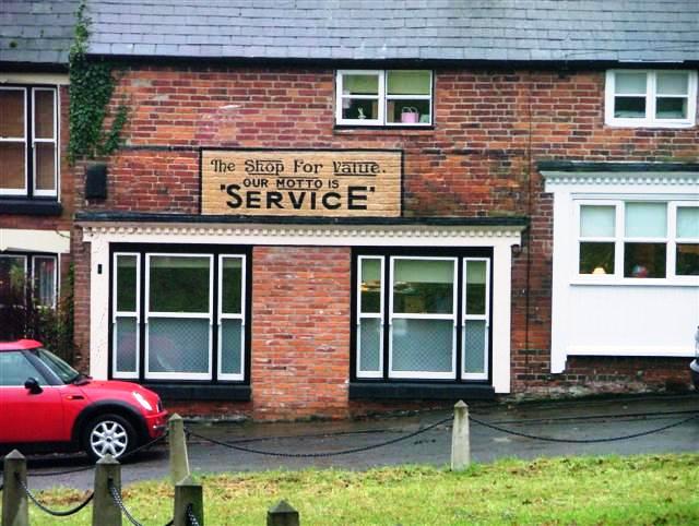
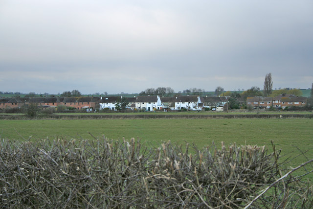
Broughton, Nether Images

Images are sourced within 2km of 52.823283/-0.973161 or Grid Reference SK6925. Thanks to Geograph Open Source API. All images are credited.

Ghost sign in Upper Broughton
Melton Road, Upper Broughton
Bottom Green, Upper Broughton At the junction of Melton Road
Bottom Green, Upper Broughton
At the junction of Melton Road
Main Road, Nether Broughton
Melton Road, Upper Broughton At the junction of Top Green. Bottom Green is the adjacent road ahead.
Melton Road, Upper Broughton
At the junction of Top Green. Bottom Green is the adjacent road ahead.
Nottingham Road, Nether Broughton
New houses on Main Road, Nether Broughton It took over nine months to reach this level of completion.
New houses on Main Road, Nether Broughton
It took over nine months to reach this level of completion.
New houses on Main Road, Nether Broughton This row were built from late 2021 onwards.
New houses on Main Road, Nether Broughton
This row were built from late 2021 onwards.
The Tap and Run, Upper Broughton
Muxlow Hill from Hickling Lane A pretty little hill formed by a small outlier of Jurassic sandstone (the Brandon Sandstone Bed <span class="nowrap"><a title="https://geologyviewer.bgs.ac.uk/" rel="nofollow ugc noopener" href="https://geologyviewer.bgs.ac.uk/">Link</a><img style="margin-left:2px;" alt="External link" title="External link - shift click to open in new window" src="https://s1.geograph.org.uk/img/external.png" width="10" height="10"/></span> )
Muxlow Hill from Hickling Lane
A pretty little hill formed by a small outlier of Jurassic sandstone (the Brandon Sandstone Bed LinkExternal link )
Public Footpath, South From Melton Road An uninviting path across the muddy field.
Public Footpath, South From Melton Road
An uninviting path across the muddy field.
Village Green and Cross, Upper Broughton My "Arthur Mee" (Published 1946) refers to the village as Broughton Sulney and says of the cross: "the pillar of an cross said to have been placed there as a thankoffering because the Black Death passed the people by."
Village Green and Cross, Upper Broughton
My "Arthur Mee" (Published 1946) refers to the village as Broughton Sulney and says of the cross: "the pillar of an cross said to have been placed there as a thankoffering because the Black Death passed the people by."
Former Village Shop. Upper Broughton The sign on the wall gives the game away of the former use of this private house.
Former Village Shop. Upper Broughton
The sign on the wall gives the game away of the former use of this private house.
Willow blowing in the Wind This solitary willow is in the open countryside opposite the entrance to the Old Dalby Industrial Estate.
Willow blowing in the Wind
This solitary willow is in the open countryside opposite the entrance to the Old Dalby Industrial Estate.
Old Dalby Industrial Estate The extent of this industrial estate can be seen in <a href="https://www.geograph.org.uk/photo/148214">SK6623 : View from Longcliffe Hill, Old Dalby</a>. It was created on the old MoD ASBO site which was finally closed in 1996.
Old Dalby Industrial Estate
The extent of this industrial estate can be seen in SK6623 : View from Longcliffe Hill, Old Dalby. It was created on the old MoD ASBO site which was finally closed in 1996.
Hatton Lodge near Old Dalby, Leicestershire On the junction of Green Hill with Old Dalby Lane
Hatton Lodge near Old Dalby, Leicestershire
On the junction of Green Hill with Old Dalby Lane
Queensway, Old Dalby This was the MoD housing estate connected to the ASBO site in <a href="https://www.geograph.org.uk/gridref/SK6824">SK6824</a>. When the site closed in 1996 the houses were sold. The white ones are the original MoD houses and the brick ones to the left are new.
Queensway, Old Dalby
This was the MoD housing estate connected to the ASBO site in SK6824. When the site closed in 1996 the houses were sold. The white ones are the original MoD houses and the brick ones to the left are new.
Green Hill near Old Dalby, Leicestershire A patchwork of field covers the slopes of this hill which gives its name to the lane that runs down from the Six Hills Road. See <a href="https://www.geograph.org.uk/gridref/SK6923">SK6923</a>
Green Hill near Old Dalby, Leicestershire
A patchwork of field covers the slopes of this hill which gives its name to the lane that runs down from the Six Hills Road. See SK6923
Show me another place!

Broughton, Nether is located at Grid Ref: SK6925 (Lat: 52.823283, Lng: -0.973161)

Administrative County: Leicestershire

District: Melton

Police Authority: Leicestershire

What 3 Words

///guess.audible.binds. Near Long Clawson, Leicestershire

Related Wikis

Hickling, Nottinghamshire

Hickling is a village in the Rushcliffe borough of Nottinghamshire, England. It is located close to the border with Leicestershire, approximately 8 miles...

Broughton and Old Dalby

Broughton and Old Dalby is a civil parish in the Melton district of Leicestershire, England. According to the 2001 census it had a population of 1,400...

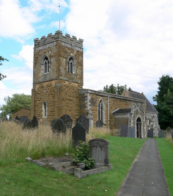
St Luke's Church, Upper Broughton

St Luke's Church is a Grade I listed parish church in the Church of England in Upper Broughton. == History == It was built in the 12th century. It was...

Upper Broughton

Upper Broughton or Broughton-Sulney or Over-Broughton is a village and civil parish about seven miles north west of Melton Mowbray, in the Rushcliffe district...

Nearby Amenities

Located within 500m of 52.823283,-0.973161
Bus Stop
Anchor Inn
Alt Name: Nether Broughton - Buttercup Foods
Bus: yes
Naptan AltCommonName: Nether Broughton - Buttercup Foods
Naptan AtcoCode: 260000300
Naptan Bearing: N
Naptan CommonName: Anchor Inn
Naptan Indicator: opposite
Naptan Landmark: Buttercup Foods
Naptan NaptanCode: leidmtmw
Naptan Notes: Hourly - County
Naptan Street: Nottingham Road
Naptan Verified: no
Public Transport: platform
Shelter: yes
Source: naptan_import
Lat/Long: 52.8239529/-0.971864
Bus Stop
Anchor Inn
Alt Name: Nether Broughton - Buttercup Foods
Bus: yes
Naptan AltCommonName: Nether Broughton - Buttercup Foods
Naptan AtcoCode: 260000301
Naptan Bearing: S
Naptan CommonName: Anchor Inn
Naptan Indicator: outside
Naptan Landmark: Anchor Inn
Naptan NaptanCode: leidmtpa
Naptan Notes: Hourly - County
Naptan Street: Nottingham Road
Naptan Verified: no
Public Transport: platform
Shelter: yes
Source: naptan_import
Lat/Long: 52.8246498/-0.9718351
Hecadek Lane
Naptan AtcoCode: 260000306
Naptan Bearing: S
Naptan BusStopType: CUS
Naptan CommonName: Hecadek Lane
Naptan Indicator: opposite
Naptan Landmark: Hecadek Lane
Naptan NaptanCode: leidmtpt
Naptan Notes: Non-Hourly - County
Naptan Street: Church End
Naptan Verified: no
Source: naptan_import
Lat/Long: 52.8270954/-0.9697947
Hecadek Lane
Naptan AtcoCode: 260000307
Naptan Bearing: N
Naptan BusStopType: CUS
Naptan CommonName: Hecadek Lane
Naptan Indicator: adjacent
Naptan Landmark: Hecadek Lane
Naptan NaptanCode: leidmtpw
Naptan Notes: Non-Hourly - County
Naptan Street: Church End
Naptan Verified: no
Source: naptan_import
Lat/Long: 52.8271185/-0.9699192
Floor Area: 5000 sq ft
Note: for sale, group in administration, not traiding
Old Amenity: restaurant
Old Amenity1: pub
Old Name: Red House
Old Name1: Red Lion
Old Operator: Fat Cat Group plc
Old Website: http://www.the-redhouse.co.uk/
Rooms: 8
Source: survey
Source Details: Estate Agents particulars
Lat/Long: 52.8223309/-0.969077
Pub
Anchor Inn
Addr City: Melton Mowbray
Addr Country: GB
Addr Housenumber: 52
Addr Postcode: LE14 3HB
Addr Street: Main Road
Addr Village: Nether Broughton
Fhrs Authority: Melton
Fhrs Id: 734176
Fhrs Local Authority Id: 14/00065/COMM
Source: survey
Source Addr: FHRS Open Data
Lat/Long: 52.824934/-0.9718269
Post Box
Brand: Royal Mail
Brand Wikidata: Q638098
Brand Wikipedia: en:Royal Mail
Collection Times: Mo-Fr 16:45; Sa 09:30
Operator: Royal Mail
Operator Wikidata: Q638098
Post Box Mounting: telegraph_pole
Post Box Type: lamp
Ref: LE14 112
Royal Cypher: EIIR
Royal Cypher Wikidata: Q33102113
Source: survey
Lat/Long: 52.8246141/-0.9718056
Barrier: stile
Source: survey
Lat/Long: 52.8241164/-0.9667021
Addr Housenumber: 6C
Source: survey
Lat/Long: 52.824473/-0.9664517
Barrier: stile
Source: survey
Lat/Long: 52.8233304/-0.9661093
Barrier: stile
Source: survey
Lat/Long: 52.824881/-0.9721585
Fixme: continue
Lat/Long: 52.8235864/-0.9695549
Addr Housenumber: 8
Source: survey
Lat/Long: 52.8246919/-0.9668487
Barrier: stile
Source: survey
Lat/Long: 52.8248682/-0.9723591
Recycling
Source: survey
Lat/Long: 52.8246318/-0.9717813
Power: pole
Source: Bing
Lat/Long: 52.8233154/-0.97299
Power: pole
Source: Bing
Lat/Long: 52.8210874/-0.9735774
Power: pole
Source: Bing
Lat/Long: 52.8189447/-0.9745966
Power: pole
Source: Bing
Lat/Long: 52.8199594/-0.9740656
Power: pole
Source: Bing
Lat/Long: 52.8242157/-0.9771555
Power: pole
Source: Bing
Lat/Long: 52.8239175/-0.9757822
Power: pole
Source: Bing
Lat/Long: 52.8221402/-0.9731107
Power: pole
Source: Bing
Lat/Long: 52.8232209/-0.9725887
Power: pole
Source: Bing
Lat/Long: 52.8242677/-0.9720834
Post Box
Brand: Royal Mail
Brand Wikidata: Q638098
Brand Wikipedia: en:Royal Mail
Collection Times: Mo-Fr 09:00; Sa 07:00
Operator: Royal Mail
Operator Wikidata: Q638098
Post Box Type: wall
Ref: LE14 62D
Royal Cypher: EIIR
Royal Cypher Wikidata: Q33102113
Source: survey
Lat/Long: 52.8243028/-0.9685519
Power: pole
Source: Bing
Lat/Long: 52.824851/-0.9799825
Power: pole
Source: Bing
Lat/Long: 52.8236164/-0.9743894
Nether Broughton Heritage Trail - 5
Information: board
Tourism: information
Lat/Long: 52.8249907/-0.9720695
Defibrillator
Access: yes
Defibrillator Location: outside Nether Broughton Village Hall
Emergency: defibrillator
Indoor: no
Lat/Long: 52.8245258/-0.9714249
Nether Broughton Heritage Trail - 7
Information: board
Tourism: information
Lat/Long: 52.8253479/-0.9693197
Bench
Lat/Long: 52.8253678/-0.969367
Nether Broughton Heritage Trail - 8
Information: board
Tourism: information
Lat/Long: 52.8245382/-0.9683833
Nether Broughton Heritage Trail - 4
Information: board
Tourism: information
Lat/Long: 52.8260119/-0.9728787
Bench
Lat/Long: 52.8245362/-0.9683159
Nether Broughton Heritage Trail - 6
Information: board
Tourism: information
Lat/Long: 52.8245729/-0.9717143
Nether Broughton Heritage Trail - 9
Information: board
Tourism: information
Lat/Long: 52.8224033/-0.968502
Nether Broughton Heritage Trail - 3
Information: board
Tourism: information
Lat/Long: 52.8263368/-0.9700946
Clock
Inscription: The Village Clock was Donated by the Parish Council to Celebrate the Millennium. It was set in Motion by Mr Douglas Lovett
Lat/Long: 52.824521/-0.9714709
Generator Method: photovoltaic
Generator Output Electricity: yes
Generator Source: solar
Generator Type: solar_photovoltaic_panel
Location: roof
Power: generator
Lat/Long: 52.8255439/-0.9699637
Generator Method: photovoltaic
Generator Output Electricity: yes
Generator Source: solar
Generator Type: solar_photovoltaic_panel
Location: roof
Power: generator
Lat/Long: 52.8247465/-0.9713317
Generator Method: photovoltaic
Generator Output Electricity: yes
Generator Source: solar
Generator Type: solar_photovoltaic_panel
Location: roof
Power: generator
Lat/Long: 52.8248113/-0.9711466
Man Made: utility_pole
Lat/Long: 52.82146/-0.9785893
Entrance: yes
Lat/Long: 52.8245328/-0.9713683
The data included in this document is from www.openstreetmap.org. The data is made available under ODbL.

Have you been to Broughton, Nether?

Leave your review of Broughton, Nether below (or comments, questions and feedback).