Blainslie, Nether
Settlement in Roxburghshire
Scotland
Blainslie, Nether
Blainslie is a small village located in the parish of Nether, in the county of Roxburghshire, Scotland. Situated approximately 5 miles southeast of the town of Lauder, Blainslie is surrounded by stunning natural landscapes and is known for its picturesque setting.
The village itself is home to a tight-knit community, with a population of around 300 people. Blainslie offers a quiet and peaceful atmosphere, making it an ideal place for those seeking a tranquil countryside lifestyle.
The architecture in Blainslie mainly consists of traditional stone houses, giving the village a charming and rustic character. The village also features a small local church, St. Cuthbert's, which dates back to the 19th century and serves as a focal point for the community.
Despite its small size, Blainslie has a strong sense of community spirit and offers a range of amenities for its residents. These include a village hall, where various events and gatherings take place, as well as a playground for children and a well-maintained sports field.
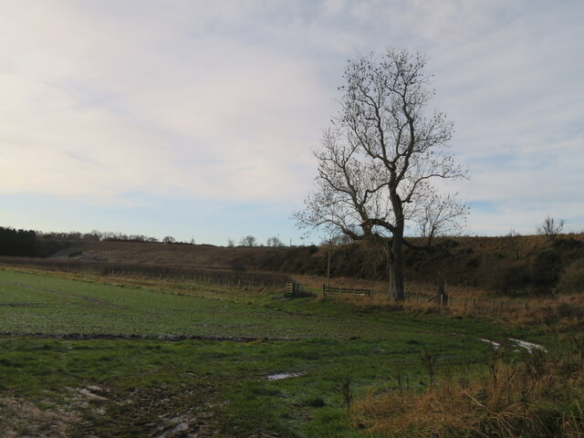
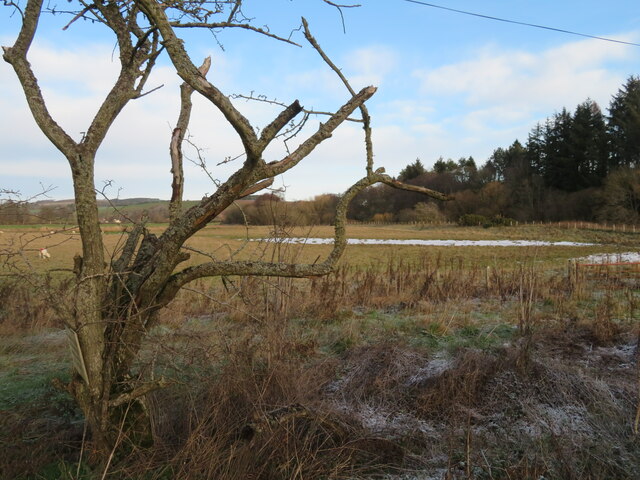
Blainslie is surrounded by beautiful rolling hills and farmland, providing ample opportunities for outdoor activities such as hiking, cycling, and birdwatching. The village is also conveniently located close to the larger towns of Lauder and Galashiels, offering residents easy access to a wider range of amenities and services.
Overall, Blainslie offers a charming rural lifestyle, with a close-knit community and stunning natural surroundings, making it an attractive place to live for those seeking a peaceful countryside retreat.
If you have any feedback on the listing, please let us know in the comments section below.
Blainslie, Nether Images
Images are sourced within 2km of 55.688493/-2.7290362 or Grid Reference NT5444. Thanks to Geograph Open Source API. All images are credited.


Blainslie, Nether is located at Grid Ref: NT5444 (Lat: 55.688493, Lng: -2.7290362)
Unitary Authority: The Scottish Borders
Police Authority: The Lothians and Scottish Borders
What 3 Words
///contacts.madder.scavenger. Near Lauder, Scottish Borders
Nearby Locations
Related Wikis

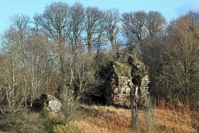
Whitslaid Tower
Whitslaid Tower was an ancient Berwickshire seat of the Lauder family for over 300 years. It is today a ruin high above the eastern bank of the Leader...

Birkenside, Scottish Borders
Birkenside is a village in the Scottish Borders, Scotland.

Boon Farm
Boon is a farm and former barony located near Lauder, Scotland. == History == === Name origins === Boon (aka "Boune" or "Bounn"), derives from the Breton...

Lauder Town Hall
Lauder Town Hall is a municipal structure in the Market Place in Lauder, Scottish Borders, Scotland. The structure, which is used as the local registrar...

Lauder
The former Royal Burgh of Lauder (, Scottish Gaelic: Labhdar) is a town in the Scottish Borders in the historic county of Berwickshire. On the Southern...

Thirlestane Castle
Thirlestane Castle is a castle set in extensive parklands near Lauder in the Borders of Scotland. The site is aptly named Castle Hill, as it stands upon...

Legerwood
Legerwood is a village by the Eden Water, in the Scottish Borders area of Scotland, near Lauder, near the Southern Upland Way. Legerwood Kirk is outside...

Lauder railway station
Lauder railway station served the town of Lauder, Berwickshire, Scotland, from 1901 to 1958. It was situated on the Lauder Light Railway. == History... ==
Nearby Amenities
Located within 500m of 55.688493,-2.7290362Have you been to Blainslie, Nether?
Leave your review of Blainslie, Nether below (or comments, questions and feedback).