Nemphlar
Settlement in Lanarkshire
Scotland
Nemphlar

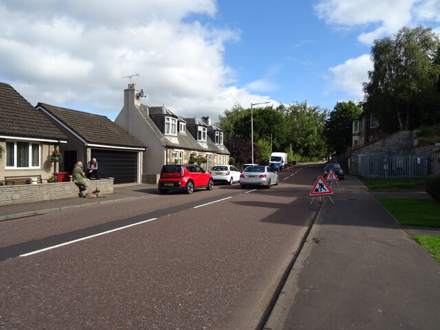
Nemphlar is a small village located in the South Lanarkshire council area of Scotland. Situated in the heart of Lanarkshire, it lies approximately 5 miles northeast of the town of Lanark and 30 miles southeast of Glasgow. The village is nestled amidst picturesque countryside, surrounded by rolling hills and farmland.
With a population of around 300 people, Nemphlar has a close-knit community that prides itself on its friendly and welcoming atmosphere. The village offers a tranquil and peaceful setting, making it an ideal place to escape the hustle and bustle of city life.
Despite its small size, Nemphlar has a rich history, dating back to ancient times. The area is known for its archaeological significance, with several prehistoric sites and ruins, including a Roman fort, being discovered nearby.
The village itself features a handful of amenities, including a local pub and a primary school, ensuring that residents have access to essential services. For additional needs, the nearby town of Lanark provides a wider range of shops, supermarkets, and leisure facilities.
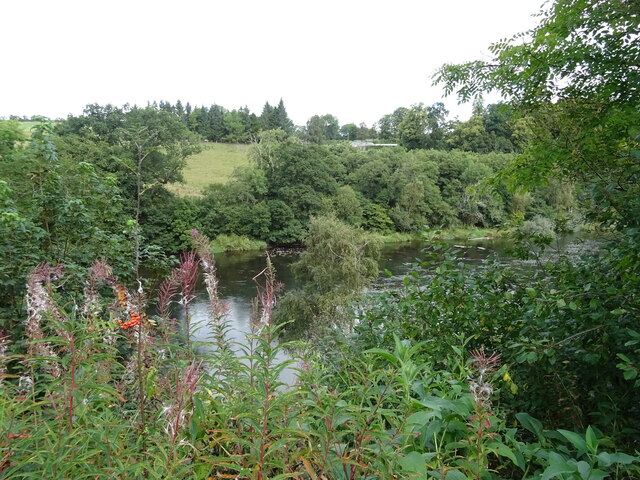
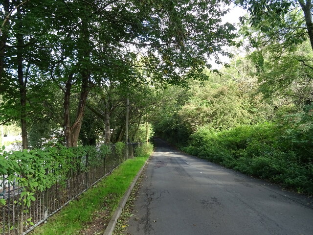
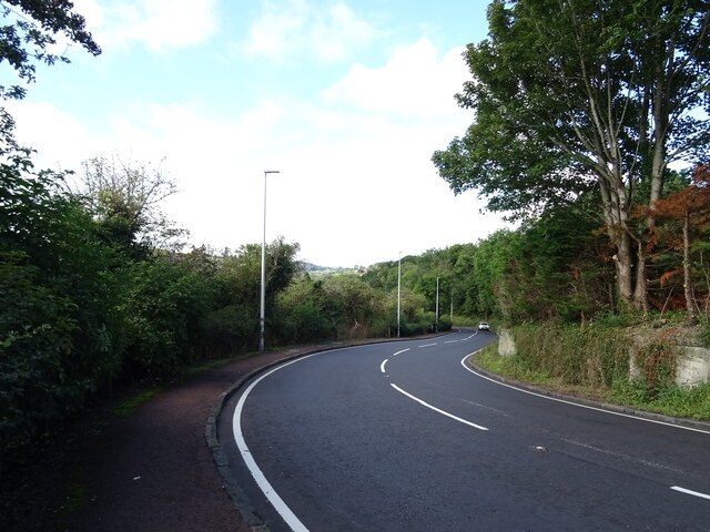
Nemphlar's countryside location makes it a haven for outdoor enthusiasts. The surrounding area offers numerous walking and cycling routes, allowing visitors to explore the beautiful Scottish landscape. Additionally, the nearby River Clyde provides opportunities for fishing and boating.
Overall, Nemphlar is a charming and historic village that provides a peaceful and idyllic setting for residents and visitors alike.
If you have any feedback on the listing, please let us know in the comments section below.
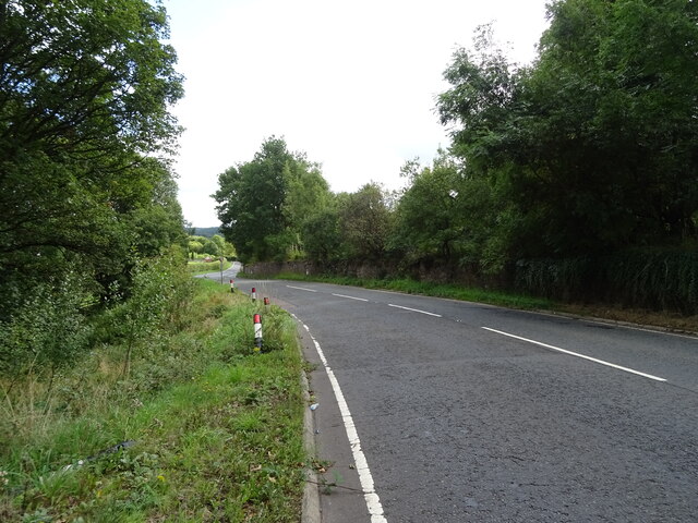
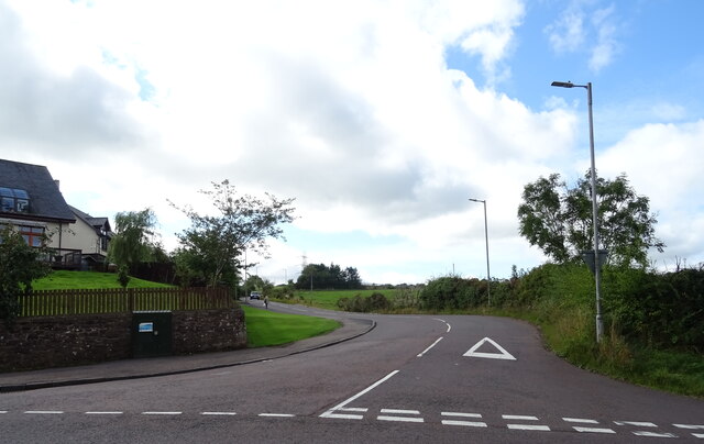
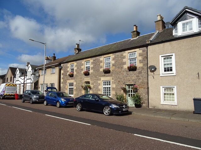
Nemphlar Images
Images are sourced within 2km of 55.683797/-3.820928 or Grid Reference NS8544. Thanks to Geograph Open Source API. All images are credited.


Nemphlar is located at Grid Ref: NS8544 (Lat: 55.683797, Lng: -3.820928)
Unitary Authority: South Lanarkshire
Police Authority: Lanarkshire
What 3 Words
///cake.concerned.conga. Near Lanark, South Lanarkshire
Nearby Locations
Related Wikis

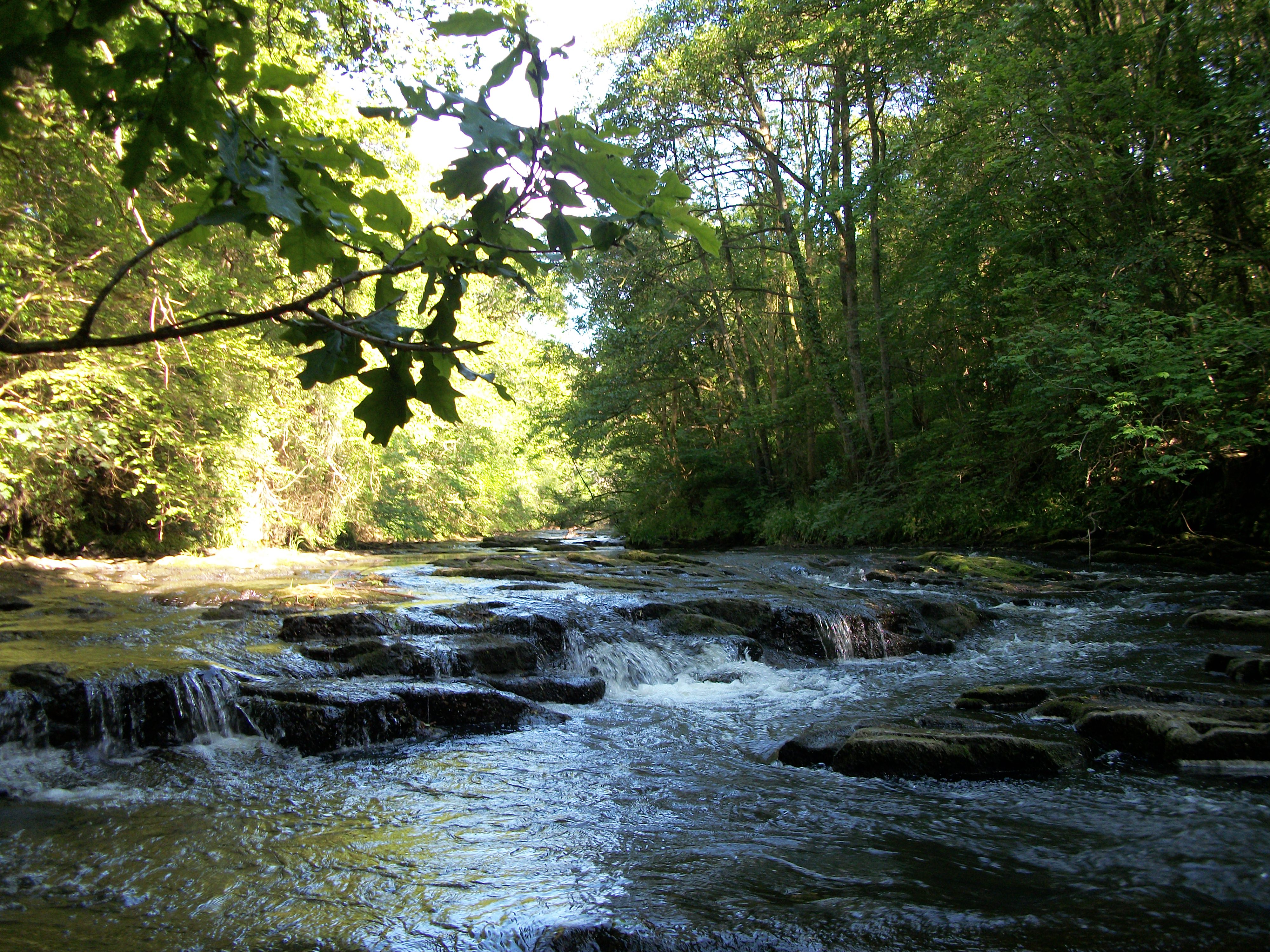
Stonebyres Falls
Stonebyres Falls is a waterfall of the River Clyde in Scotland. It is located on the former Stonebyres estate at the site of Stonebyres Castle. ��2�...
Mouse Water
Mouse Water is a river in South Lanarkshire which is a tributary of the River Clyde. It is popular with canoeists. In the past, the fast flowing river...

Cartland Bridge
Cartland Bridge is a road bridge on the A73 north-west of Lanark, South Lanarkshire which spans the Mouse Water, a tributary of the River Clyde. The three...

Mousemill Bridge
Mousemill Bridge is a crossing of the Mouse Water on Mousemill Road, just north of Kirkfieldbank. There are two bridges at the site, the present day road...
Nearby Amenities
Located within 500m of 55.683797,-3.820928Have you been to Nemphlar?
Leave your review of Nemphlar below (or comments, questions and feedback).