Nelson
Settlement in Lancashire Pendle
England
Nelson
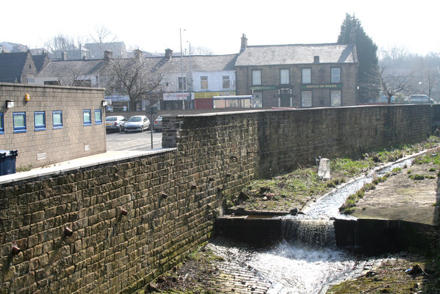
Nelson is a town located in the county of Lancashire, in the northwest of England. Situated approximately 4 miles north of Burnley, Nelson is part of the larger borough of Pendle. With a population of around 30,000 residents, it is a vibrant and diverse community.
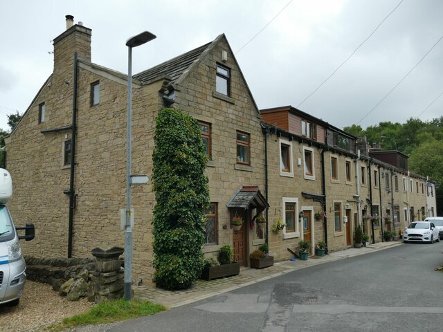
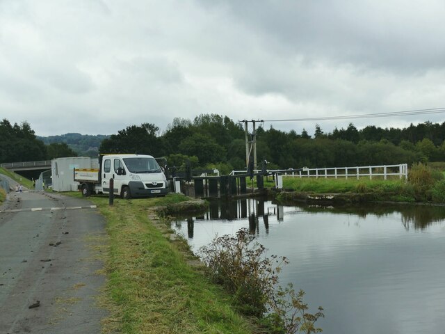
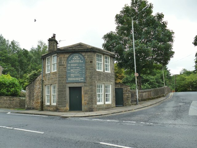
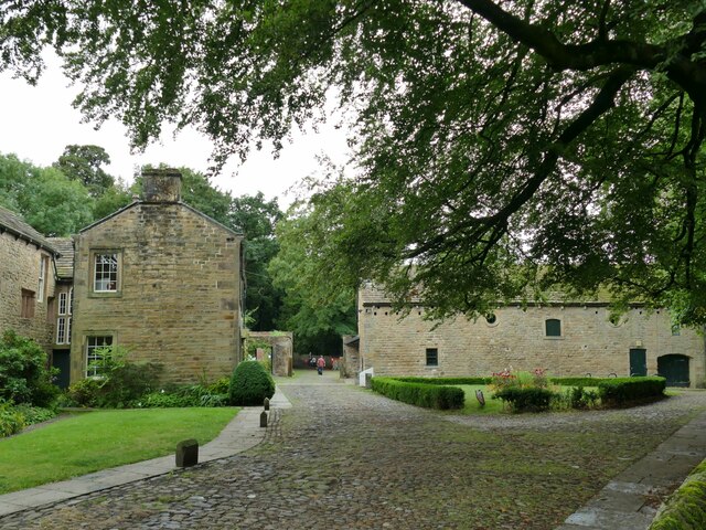
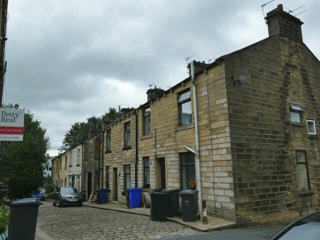
Nelson has a rich industrial heritage, with its development closely tied to the cotton and textile industry during the 19th century. Many of the former mill buildings still stand today, serving as a reminder of the town's industrial past. In recent years, the local economy has diversified, with various sectors such as manufacturing, retail, and healthcare contributing to the town's growth.
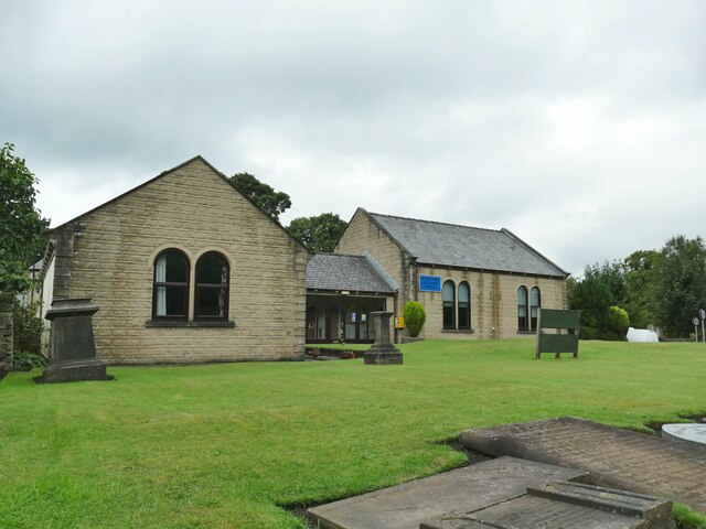
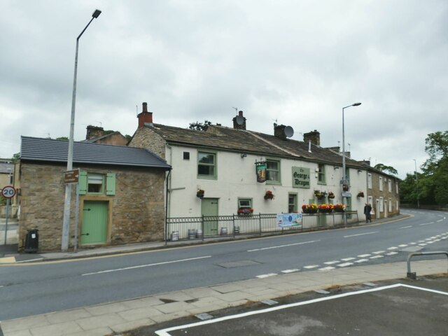
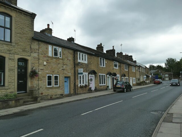
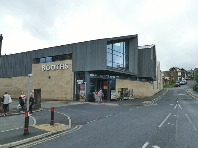
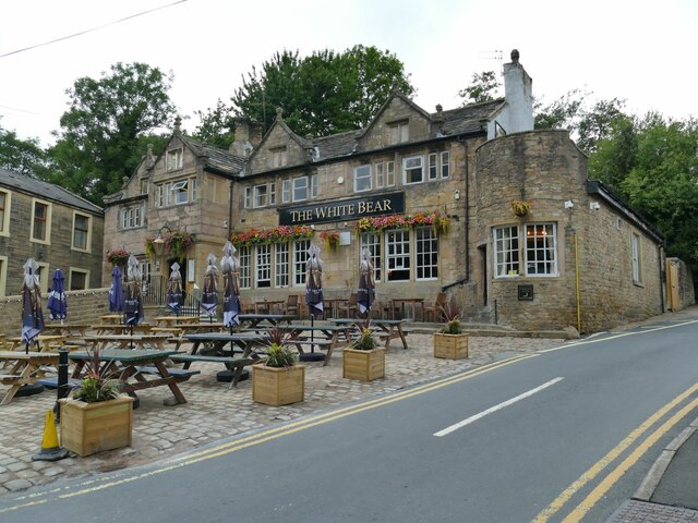
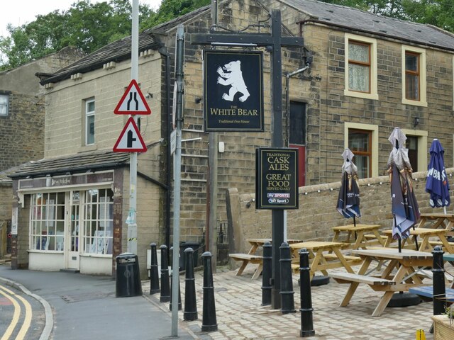
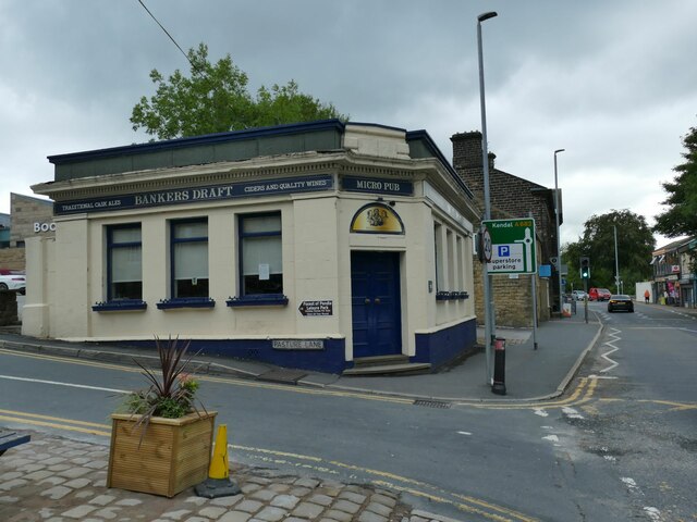
The town boasts a range of amenities and facilities, including several shopping centers, supermarkets, and a bustling high street. Nelson also has a number of parks and green spaces, providing opportunities for outdoor activities and leisure.
Education is well catered for in Nelson, with a variety of primary and secondary schools, as well as a further education college. The town also has good transport links, with regular bus services connecting it to neighboring towns and cities, and a railway station providing access to major cities such as Manchester and Leeds.
Nelson is an ethnically diverse town, with a significant South Asian population contributing to its multicultural atmosphere. This is reflected in the various cultural events, religious celebrations, and cuisine options available throughout the town.
Overall, Nelson is a dynamic and evolving town that combines its industrial heritage with a modern and diverse community, making it an attractive place to live and visit.
If you have any feedback on the listing, please let us know in the comments section below.
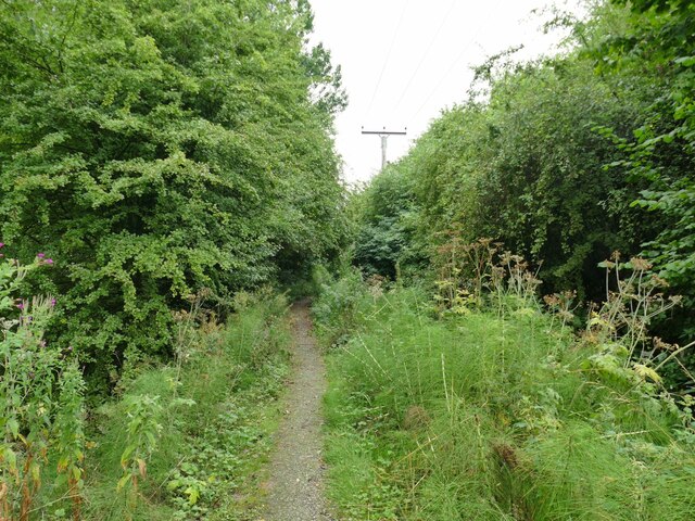
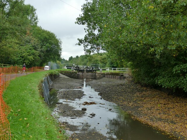
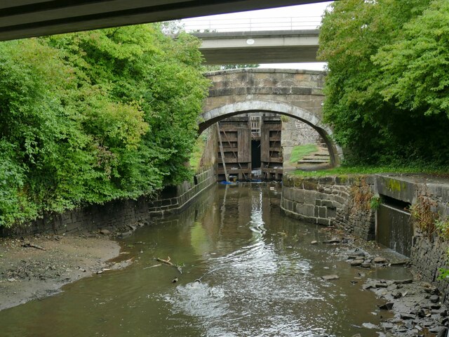
Nelson Images
Images are sourced within 2km of 53.8379/-2.2104 or Grid Reference SD8637. Thanks to Geograph Open Source API. All images are credited.

Nelson is located at Grid Ref: SD8637 (Lat: 53.8379, Lng: -2.2104)
Administrative County: Lancashire
District: Pendle
Police Authority: Lancashire
What 3 Words
///differ.snacks.purse. Near Nelson, Lancashire
Nearby Locations
Related Wikis
Pendle Community Hospital
Pendle Community Hospital is a community hospital in Nelson, Lancashire. It is managed by East Lancashire Hospitals NHS Trust. == History == The Pendle...
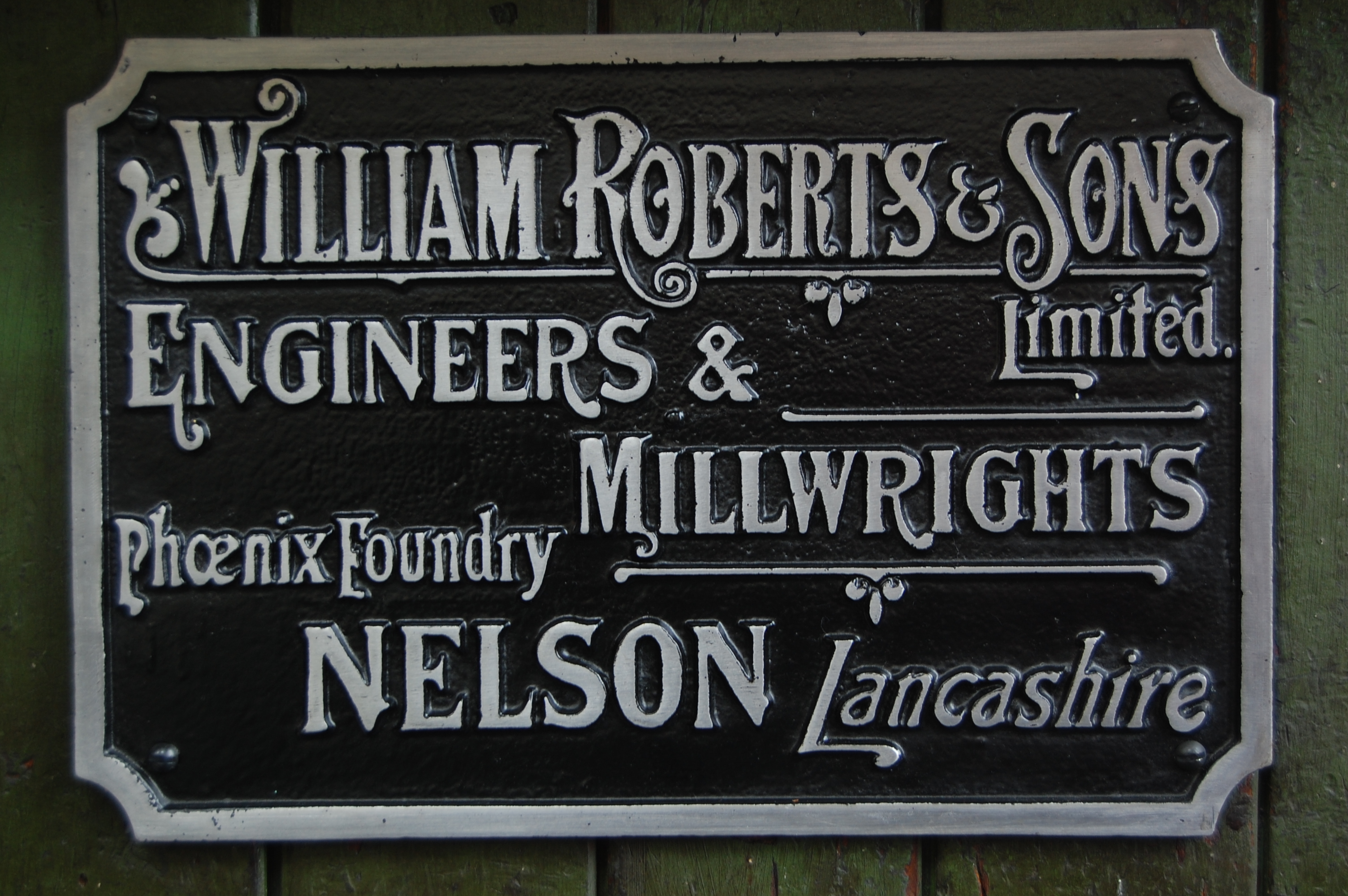
William Roberts & Co of Nelson
William Roberts and Company (later William Roberts and Sons) of Phoenix Foundry in Nelson, Lancashire, England, produced many of the steam engines that...

Nelson Town Hall
Nelson Town Hall is a municipal building in Market Square, Nelson, Lancashire, England. The building is the headquarters for both Pendle Borough Council...
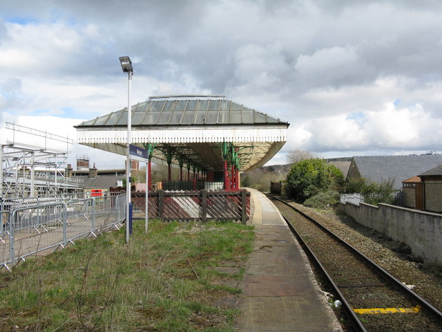
Nelson railway station
Nelson railway station serves the town of Nelson in Lancashire, and is situated on the East Lancashire Line 2 miles (3 km) away from the terminus at Colne...
Nearby Amenities
Located within 500m of 53.8379,-2.2104Have you been to Nelson?
Leave your review of Nelson below (or comments, questions and feedback).