Nantyglo
Settlement in Monmouthshire
Wales
Nantyglo

The requested URL returned error: 429 Too Many Requests
If you have any feedback on the listing, please let us know in the comments section below.
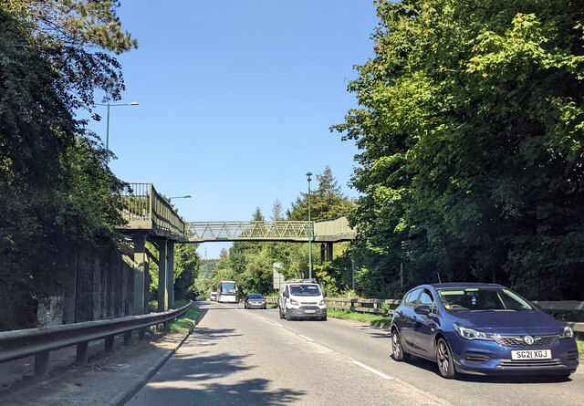
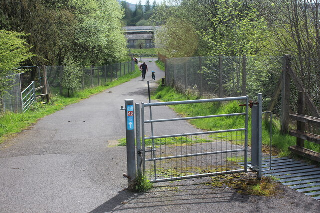
Nantyglo Images
Images are sourced within 2km of 51.787484/-3.177358 or Grid Reference SO1810. Thanks to Geograph Open Source API. All images are credited.


Nantyglo is located at Grid Ref: SO1810 (Lat: 51.787484, Lng: -3.177358)
Unitary Authority: Blaenau Gwent
Police Authority: Gwent
Also known as: Nant-y-glo
What 3 Words
///jump.melon.menu. Near Brynmawr, Blaenau Gwent
Nearby Locations
Related Wikis

Nantyglo Round Towers
Nantyglo Round Towers are located at Roundhouse Farm, Nantyglo, near Brynmawr in the borough of Blaenau Gwent in the South Wales Valleys. The two fortified...

Nantyglo
Nantyglo (from Welsh Nant-y-glo 'brook of coal') is a village in the ancient parish of Aberystruth and county of Monmouth situated deep within the South...
Nantyglo railway station
Nantyglo railway station was a station which served Nantyglo, in the Welsh county of Monmouthshire. == History == Among the lines built by the Monmouthshire...
BRfm
BRYNMAWR BRFM IS NO LONGER BROADCASTING was a community radio station serving Brynmawr, Ebbw Vale, Nantyglo and surrounding areas of Blaenau Gwent in...
Nearby Amenities
Located within 500m of 51.787484,-3.177358Have you been to Nantyglo?
Leave your review of Nantyglo below (or comments, questions and feedback).