Nantycaws

Settlement in Carmarthenshire

Wales

Nantycaws

Junction Brilliant hill to cycle down!
Junction Credit: Dara Jasumani

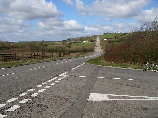
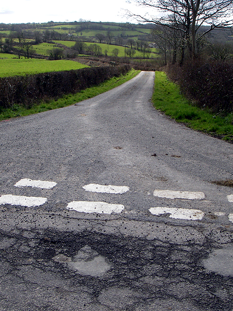
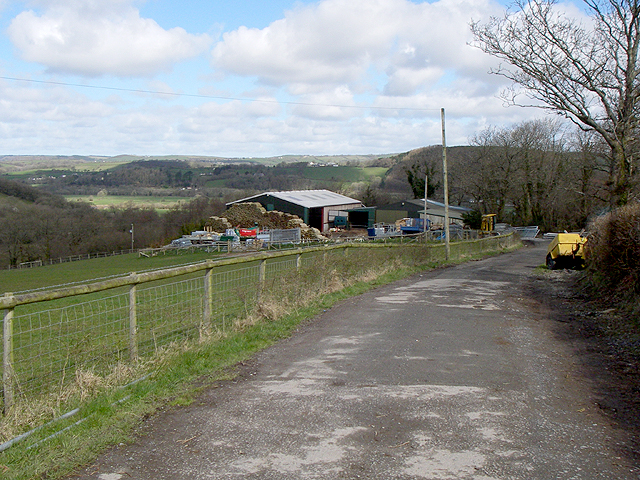
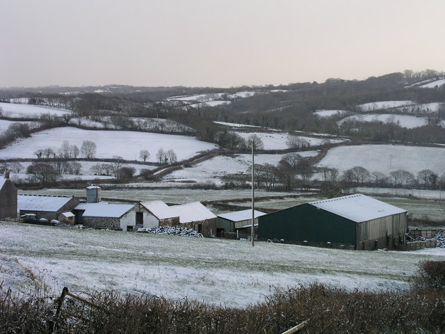
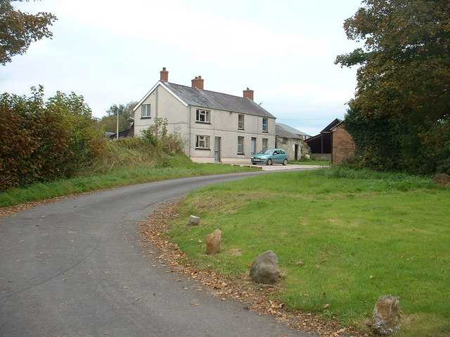
Nantycaws is a small village located in the county of Carmarthenshire, Wales. Situated approximately 5 miles northwest of Carmarthen, it lies near the A48 road, making it easily accessible to both locals and visitors. The village is surrounded by picturesque countryside and offers a peaceful and rural atmosphere.

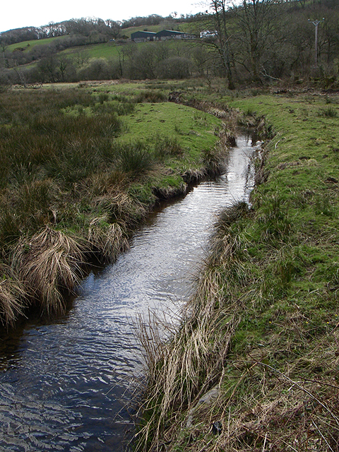
Nantycaws is known for its rich history, with evidence of human habitation in the area dating back to the Bronze Age. The village is named after the nearby River Caws, which flows through the area, adding to its natural charm.

Despite its small size, Nantycaws has a few amenities to offer its residents. It houses a popular pub that serves traditional Welsh food and drinks, providing a gathering place for locals and a warm welcome to visitors. The village also has a primary school, ensuring convenient education for the young residents.

The proximity to Carmarthen, the county town of Carmarthenshire, provides residents of Nantycaws with access to a wider range of amenities and services. Carmarthen offers a variety of shops, restaurants, and leisure facilities, as well as excellent transport links, including a railway station.

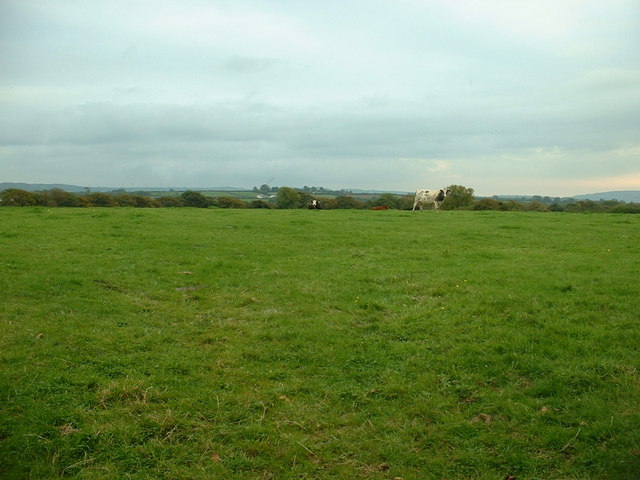
For those who appreciate outdoor activities, Nantycaws is a great base for exploring the surrounding countryside. The area offers opportunities for walking, cycling, and horse riding, with scenic trails and bridleways to enjoy.

In summary, Nantycaws is a charming village in Carmarthenshire, Wales, with a rich history, beautiful natural surroundings, and convenient access to nearby amenities. It is an ideal location for those seeking a peaceful rural lifestyle while remaining within reach of larger towns and cities.

If you have any feedback on the listing, please let us know in the comments section below.
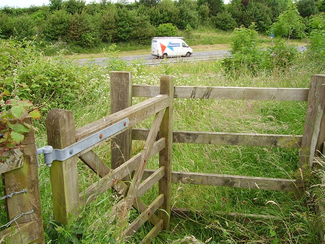
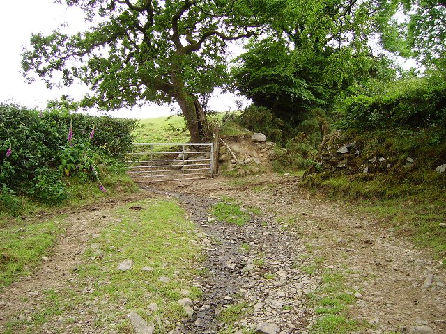
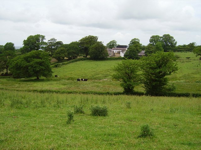
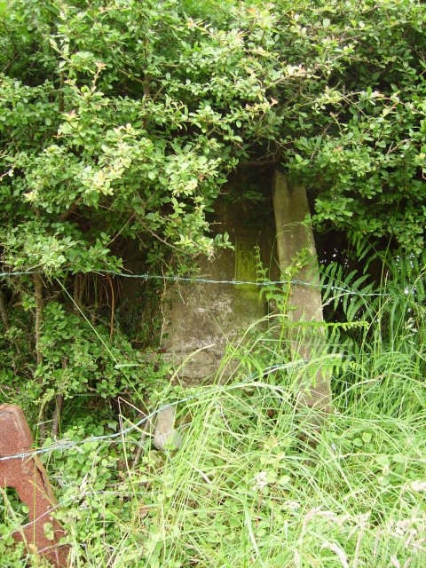
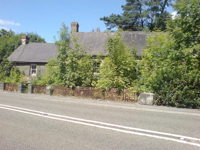
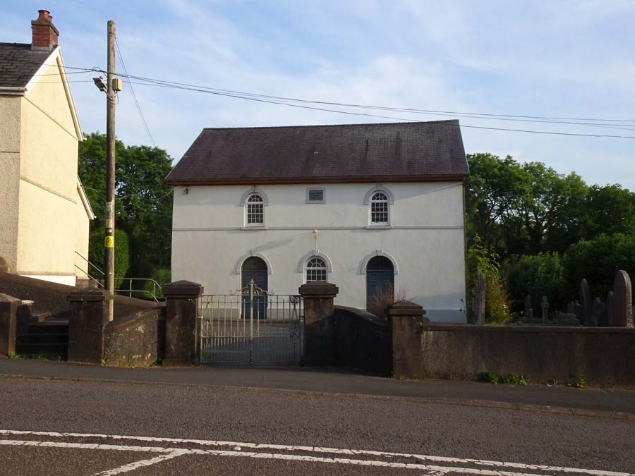
Nantycaws Images

Images are sourced within 2km of 51.84164/-4.239528 or Grid Reference SN4518. Thanks to Geograph Open Source API. All images are credited.

Junction Brilliant hill to cycle down!
Junction
Brilliant hill to cycle down!
Nant Pibwr Looking SW along the Nant Pibwr.
Nant Pibwr
Looking SW along the Nant Pibwr.
Country lane Looking SSE down the road.
Country lane
Looking SSE down the road.
Small Industry Looks like they make wooden stakes here.
Small Industry
Looks like they make wooden stakes here.
Farm Farm. Looking due north from the road.
Farm
Farm. Looking due north from the road.
Bridleway Bridleway. Looking due north.
Bridleway
Bridleway. Looking due north.
A48 Dual carriageway extension of the M4 seen through a kissing gate at Brigwell-y-Coed.
A48
Dual carriageway extension of the M4 seen through a kissing gate at Brigwell-y-Coed.
Old lane, Brigwellt-y-coed Stone banked farm track.
Old lane, Brigwellt-y-coed
Stone banked farm track.
Brigwellt-y-coed View to the farm across a damp green valley.
Brigwellt-y-coed
View to the farm across a damp green valley.
Llwyn-melyn trig Triangulation pillar well hidden in a hedge.
Llwyn-melyn trig
Triangulation pillar well hidden in a hedge.
Erw Wen St Davids Day 2006
Farmland near Nantycaws
Houses at Bwlchymynydd
Recycling Centre At this centre, provided by Carmarthenshire County Council, skips and other facilities are provided for the recycling of wood, plastic, metals, glass, cardboard, household goods, electrical equipment and practically anything else you can think of.
Recycling Centre
At this centre, provided by Carmarthenshire County Council, skips and other facilities are provided for the recycling of wood, plastic, metals, glass, cardboard, household goods, electrical equipment and practically anything else you can think of.
Waste Disposal
Waste Disposal
Go Green! Reduce, re-use and re-cycle!
Go Green!
Reduce, re-use and re-cycle!
Detritus of a Consumer Society Where it all ends up.
Detritus of a Consumer Society
Where it all ends up.
Growing Trees This cottage next to Nant y Caws Hill is disappearing under the vegetation.
Growing Trees
This cottage next to Nant y Caws Hill is disappearing under the vegetation.
Show me another place!

Nantycaws is located at Grid Ref: SN4518 (Lat: 51.84164, Lng: -4.239528)

Unitary Authority: Carmarthenshire

Police Authority: Dyfed Powys

Also known as: Nant-y-caws

What 3 Words

///corrode.historic.spearing. Near Carmarthen, Carmarthenshire

Related Wikis

Nantycaws

Nantycaws or Nant-y-caws is a rural settlement in the community of Llangunnor, Carmarthenshire, Wales. 'Nant y caws' is Welsh for 'River of the cheese...

Allt Penycoed Stream Section

Allt Penycoed Stream Section is a Site of Special Scientific Interest (or SSSI) in Carmarthenshire, Wales. It is protected by law and has been designated...

Capel Dewi, Carmarthenshire

Capel Dewi is a small village in Carmarthenshire, Wales. The village is built on raised ground to the south of the River Towy, and to the east of the area...

Banc y Betws

Banc y Betws or Betws Castle, is a motte and scheduled ancient monument in Wales. It is located in Llangyndeyrn, in the Gwendraith Valley in Carmarthenshire...

Nearby Amenities

Located within 500m of 51.84164,-4.239528
Post Box
Collection Times: Mo-Fr 15:45; Sa 10:15
Post Box Type: lamp
Ref: SA32 155
Royal Cypher: EIIR
Royal Cypher Wikidata: Q33102113
Lat/Long: 51.8413781/-4.2389343
Nantycaws
Name Cy: Nant-y-caws
Name En: Nantycaws
Place: hamlet
Source: local_knowledge
Source Location: OS OpenData StreetView
Wikidata: Q13130341
Wikipedia: cy:Nant-y-caws
Lat/Long: 51.8422358/-4.2408103
Direction: SSW
Generator Method: photovoltaic
Generator Output Electricity: yes
Generator Solar Modules: 16
Generator Source: solar
Generator Type: solar_photovoltaic_panel
Location: roof
Power: generator
Lat/Long: 51.8416551/-4.2411431
Direction: S
Generator Method: photovoltaic
Generator Output Electricity: yes
Generator Solar Modules: 16
Generator Source: solar
Generator Type: solar_photovoltaic_panel
Location: roof
Power: generator
Lat/Long: 51.8411328/-4.2435169
Direction: 185
Generator Method: photovoltaic
Generator Output Electricity: yes
Generator Solar Modules: 21
Generator Source: solar
Generator Type: solar_photovoltaic_panel
Location: roof
Power: generator
Lat/Long: 51.8409756/-4.2418958
Direction: S
Generator Method: photovoltaic
Generator Output Electricity: yes
Generator Solar Modules: 16
Generator Source: solar
Generator Type: solar_photovoltaic_panel
Location: roof
Power: generator
Lat/Long: 51.8409352/-4.2375281
Crossing
Crossing: unmarked
Crossing Markings: no
Tactile Paving: yes
Lat/Long: 51.8414478/-4.239712
Crossing
Crossing: unmarked
Crossing Island: yes
Crossing Markings: no
Tactile Paving: yes
Lat/Long: 51.8413259/-4.2401211
Bus Stop
Nantycaws
Bus: yes
Naptan AtcoCode: 5220CMX16756
Naptan NaptanCode: crmgwgd
Public Transport: platform
Lat/Long: 51.8414065/-4.2395065
Bus: yes
Public Transport: stop_position
Lat/Long: 51.8412929/-4.2394142
Bus Stop
Nantycaws
Bus: yes
Naptan AtcoCode: 5220CMX16755
Naptan NaptanCode: crmgwgj
Public Transport: platform
Lat/Long: 51.8412324/-4.239761
Bus: yes
Public Transport: stop_position
Lat/Long: 51.8413131/-4.2397963
The data included in this document is from www.openstreetmap.org. The data is made available under ODbL.

Have you been to Nantycaws?

Leave your review of Nantycaws below (or comments, questions and feedback).