Myerscough Smithy
Settlement in Lancashire Ribble Valley
England
Myerscough Smithy
The requested URL returned error: 429 Too Many Requests
If you have any feedback on the listing, please let us know in the comments section below.
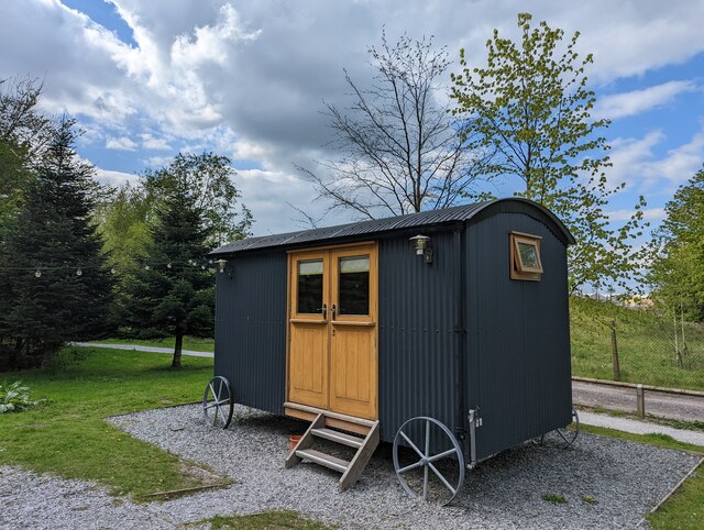
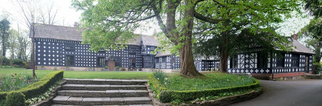
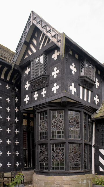
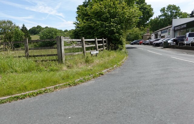
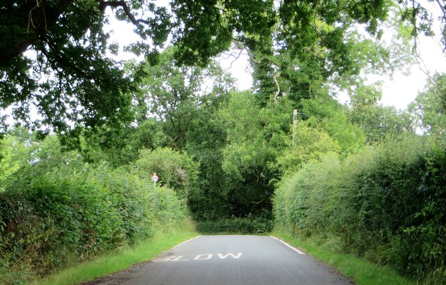
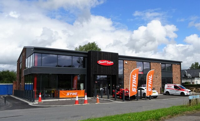
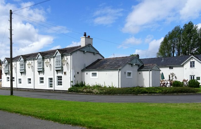
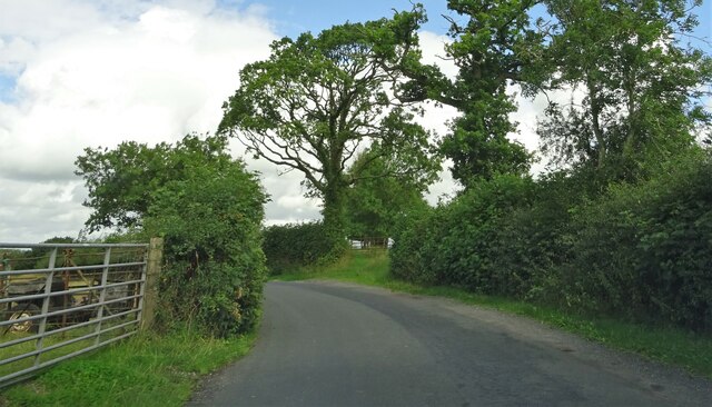
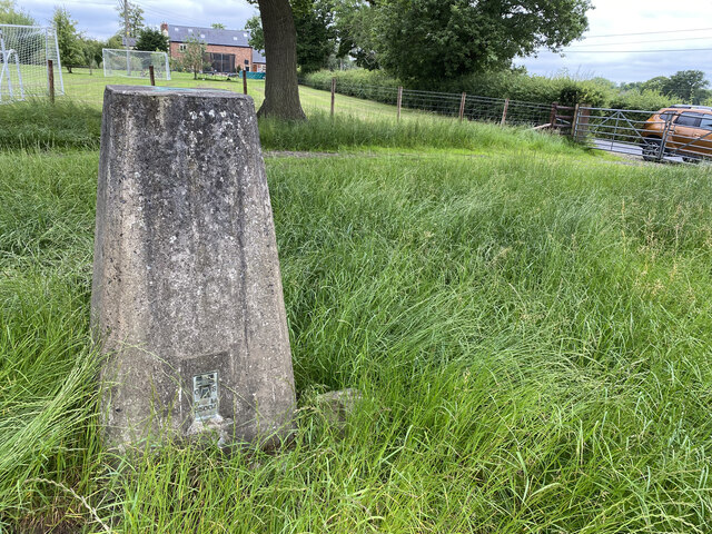
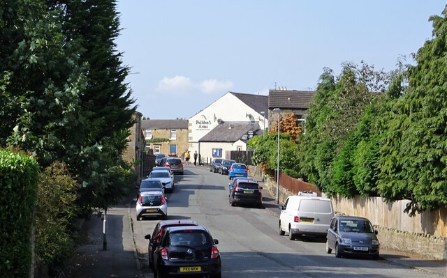
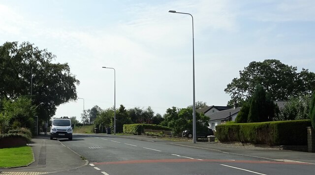
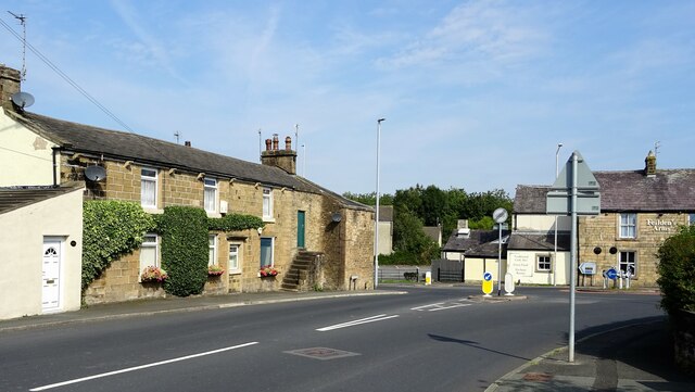
Myerscough Smithy Images
Images are sourced within 2km of 53.777597/-2.565228 or Grid Reference SD6231. Thanks to Geograph Open Source API. All images are credited.

Myerscough Smithy is located at Grid Ref: SD6231 (Lat: 53.777597, Lng: -2.565228)
Administrative County: Lancashire
District: Ribble Valley
Police Authority: Lancashire
What 3 Words
///emphasis.passage.socialite. Near Blackburn, Lancashire
Nearby Locations
Related Wikis

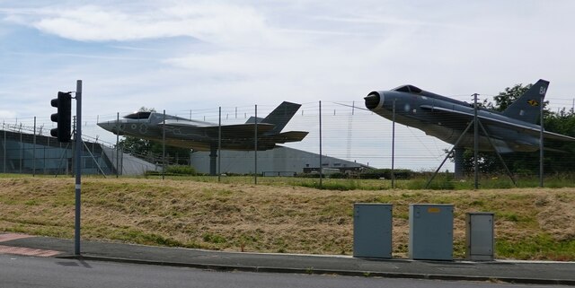
Samlesbury Aerodrome
Samlesbury Aerodrome is a disused airfield at Balderstone near Samlesbury and Blackburn in the Ribble Valley district of Lancashire. The aerodrome is owned...

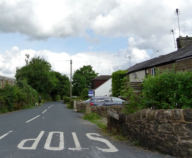
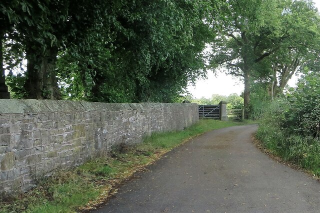
Balderstone, Lancashire
Balderstone is a village and civil parish in the Ribble Valley district of Lancashire, England. The population of the Civil Parish taken at the 2021 census...

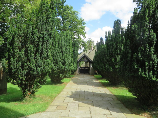
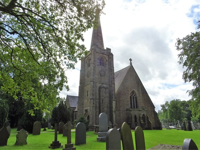
St Leonard's Church, Balderstone
St Leonard's Church is in the village of Balderstone, Lancashire, England. It is an active Anglican parish church in the deanery of Whalley, the archdeaconry...
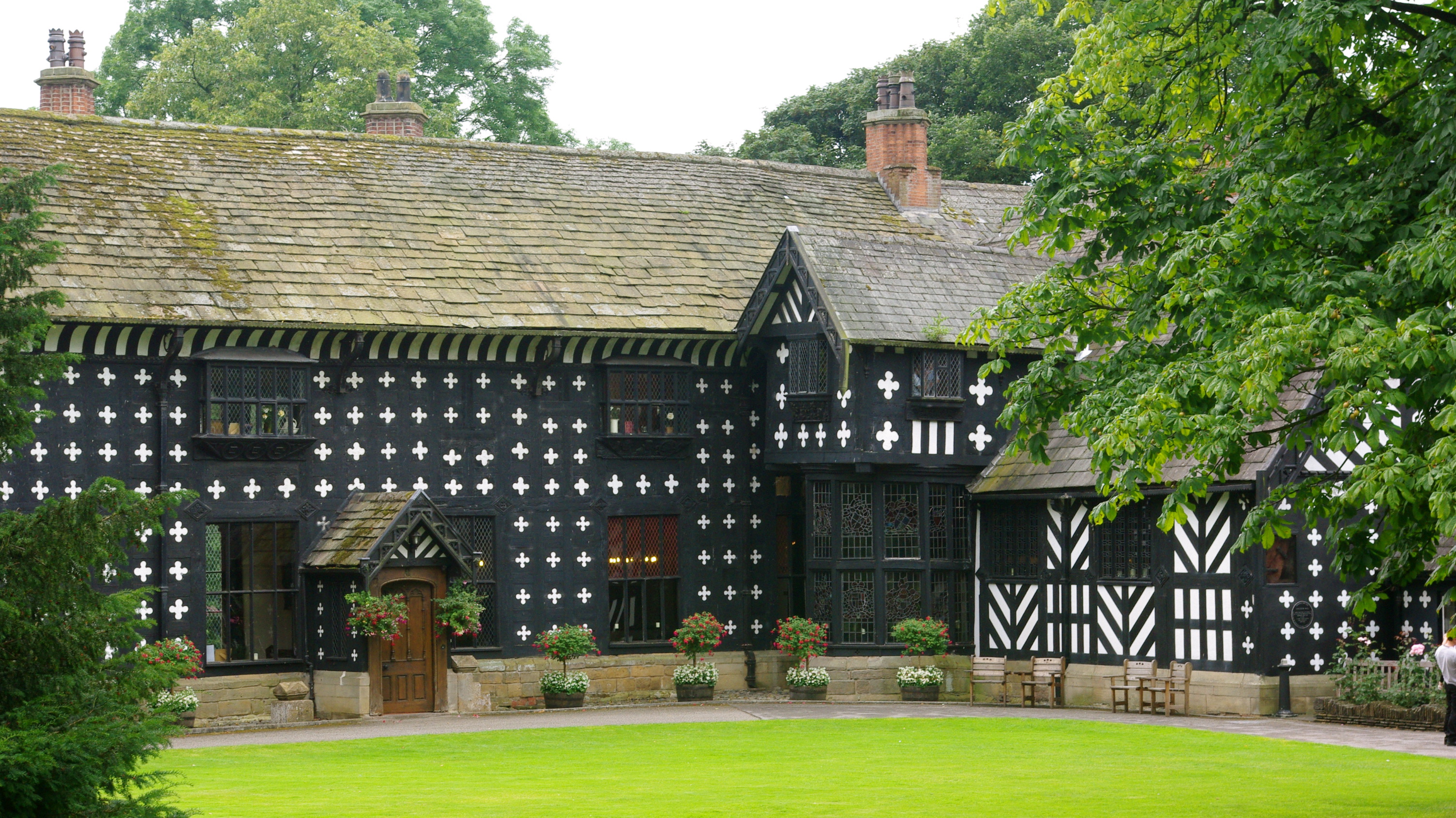
Samlesbury Hall
Samlesbury Hall is a historic house in Samlesbury, Lancashire, England, six miles (10 km) east of Preston. It was built in 1325 by Gilbert de Southworth...
Nearby Amenities
Located within 500m of 53.777597,-2.565228Have you been to Myerscough Smithy?
Leave your review of Myerscough Smithy below (or comments, questions and feedback).