Murton

Settlement in Northumberland

England

Murton

Algernon Drive crossing the Metro line by Northumberland Park station The Tyne & Wear Metro opened in 1980.  Light rail vehicles replaced trains on suburban lines into Newcastle from north and south of the Tyne.  The system was integrated with the local bus network, with bus routes redesigned to carry people to Metro interchanges rather than direct into the centre of Newcastle.  A single ticket allowed passengers to interchange between bus and Metro.

The Metro was designed to be fully wheelchair-accessible right from the start, well before any other UK transport systems.
Algernon Drive crossing the Metro line by Northumberland Park station Credit: habiloid

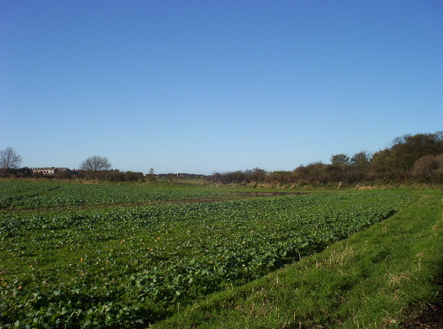
Murton is a small village located in the county of Northumberland in northeast England. Situated approximately 2 miles south of the town of Berwick-upon-Tweed, it is a rural community surrounded by picturesque countryside and farmland. The village is nestled between the River Tweed to the east and the A1 road to the west.

Murton boasts a rich history, with evidence of human habitation dating back to prehistoric times. The area is known for its archaeological sites, including a Bronze Age burial mound and ancient settlements. The village itself features a mix of traditional stone cottages and more modern houses, creating a charming and diverse architectural landscape.

Despite its small size, Murton offers a range of amenities to its residents. These include a primary school, a village hall, a church, and a local pub. The village is also known for its strong sense of community, with regular events and activities organized throughout the year. The surrounding natural environment provides ample opportunities for outdoor pursuits, such as walking, cycling, and fishing.

Located close to the border with Scotland, Murton benefits from its proximity to both Berwick-upon-Tweed and the Scottish Borders region. This allows residents to access a wider range of services and amenities, including shopping centers, healthcare facilities, and leisure activities.

Overall, Murton is a peaceful and idyllic village that offers a close-knit community, beautiful surroundings, and a rich history, making it an attractive place to live for those seeking a rural lifestyle.

If you have any feedback on the listing, please let us know in the comments section below.
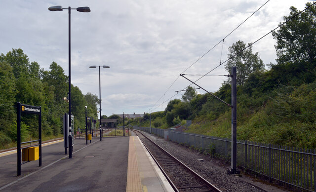
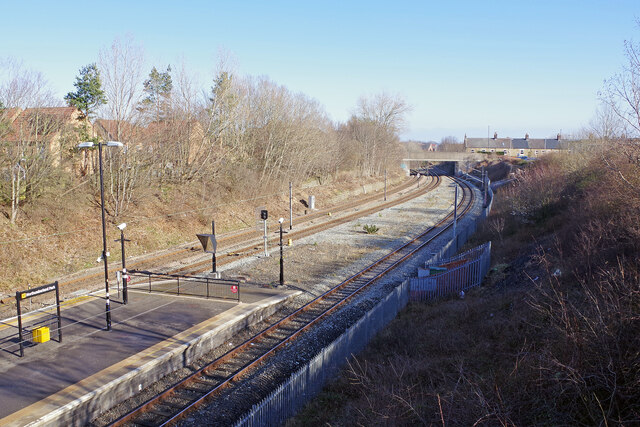
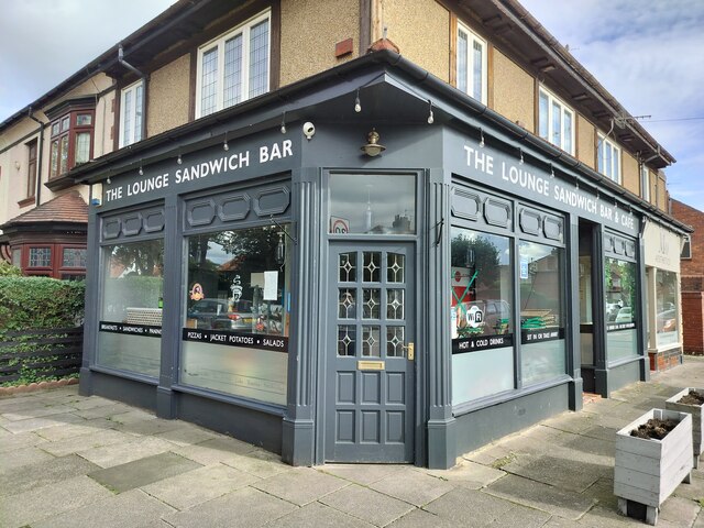
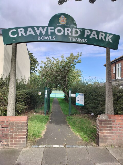
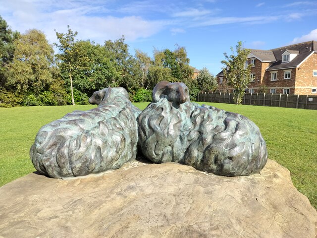
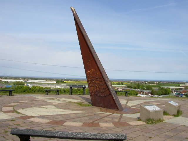
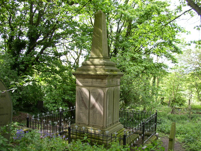
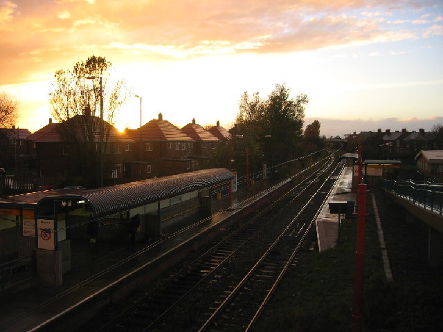
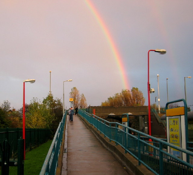
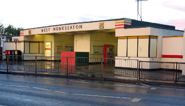
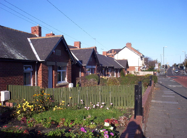
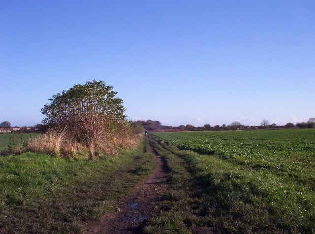
Murton Images

Images are sourced within 2km of 55.030227/-1.489177 or Grid Reference NZ3270. Thanks to Geograph Open Source API. All images are credited.

Algernon Drive crossing the Metro line by Northumberland Park station The Tyne & Wear Metro opened in 1980.  Light rail vehicles replaced trains on suburban lines into Newcastle from north and south of the Tyne.  The system was integrated with the local bus network, with bus routes redesigned to carry people to Metro interchanges rather than direct into the centre of Newcastle.  A single ticket allowed passengers to interchange between bus and Metro.

The Metro was designed to be fully wheelchair-accessible right from the start, well before any other UK transport systems.
Algernon Drive crossing the Metro line by Northumberland Park station
The Tyne & Wear Metro opened in 1980. Light rail vehicles replaced trains on suburban lines into Newcastle from north and south of the Tyne. The system was integrated with the local bus network, with bus routes redesigned to carry people to Metro interchanges rather than direct into the centre of Newcastle. A single ticket allowed passengers to interchange between bus and Metro. The Metro was designed to be fully wheelchair-accessible right from the start, well before any other UK transport systems.
Northumberland Park Metro Station
Northumberland Park Metro Station Northumberland Park is one of the stops on the northern loop of the Tyne and Wear Metro; this is looking towards Whitley Bay from the Algernon Drive bridge. Somewhat confusingly, the bridge ahead carries Station Road; this is because, until its closure in 1977, Backworth station was located here. This view from 1970 shows the old station: <a href="https://www.geograph.org.uk/photo/1739814">NZ3071 : Backworth Station</a>. The line on the left is not part of the Metro system but is used by freight trains running to Blyth and Lynemouth Power Station. There are plans to run a passenger service (to be part of the National Rail network) over it to Ashington.
Northumberland Park Metro Station
Northumberland Park is one of the stops on the northern loop of the Tyne and Wear Metro; this is looking towards Whitley Bay from the Algernon Drive bridge. Somewhat confusingly, the bridge ahead carries Station Road; this is because, until its closure in 1977, Backworth station was located here. This view from 1970 shows the old station: NZ3071 : Backworth Station. The line on the left is not part of the Metro system but is used by freight trains running to Blyth and Lynemouth Power Station. There are plans to run a passenger service (to be part of the National Rail network) over it to Ashington.
The Lounge Sandwich Bar & Cafe, Monkseaton Situated on Cauldwell Lane, this bar/cafe sells a selection of sandwiches, paninis, jacket potatoes, soup, salad boxes, hot and cold drinks.
The Lounge Sandwich Bar & Cafe, Monkseaton
Situated on Cauldwell Lane, this bar/cafe sells a selection of sandwiches, paninis, jacket potatoes, soup, salad boxes, hot and cold drinks.
Crawford Park entrance, Monkseaton This is the Seatonville Road entrance to Crawford Park which boasts two all-weather tennis courts and two bowling greens.
Crawford Park entrance, Monkseaton
This is the Seatonville Road entrance to Crawford Park which boasts two all-weather tennis courts and two bowling greens.
Sheep Artwork, Newsteads Farm Estate, Monkseaton Standing in a pleasant green open space, this artwork was erected when the nearby houses were in the course of construction and, sadly, the name of the artist who created them has been lost in the annals of time.
Sheep Artwork, Newsteads Farm Estate, Monkseaton
Standing in a pleasant green open space, this artwork was erected when the nearby houses were in the course of construction and, sadly, the name of the artist who created them has been lost in the annals of time.
Silverlink Park Sundial View from the Silverlink Park Sundial looking in a North easterly direction towards Whitley Bay and Blyth.
Silverlink Park Sundial
View from the Silverlink Park Sundial looking in a North easterly direction towards Whitley Bay and Blyth.
St. Alban’s The church of St. Alban, erected in 1836 at a cost of £2,200, partly on the eastern portion of the site of the former church, and consecrated on the 12th of October, 1837, is a building of stone, in the Early English style, consisting of chancel, nave of six bays and an embattled western tower, with pinnacles, containing a clock and 3 bells: there are 600 sittings, all free. In the churchyard are buried the bodies of 159 of the 204 miners who perished in the terrible catastrophe at Hartley colliery, Thursday, Jan. 16, 1862. The register dates from the year 1837.
St. Alban’s
The church of St. Alban, erected in 1836 at a cost of £2,200, partly on the eastern portion of the site of the former church, and consecrated on the 12th of October, 1837, is a building of stone, in the Early English style, consisting of chancel, nave of six bays and an embattled western tower, with pinnacles, containing a clock and 3 bells: there are 600 sittings, all free. In the churchyard are buried the bodies of 159 of the 204 miners who perished in the terrible catastrophe at Hartley colliery, Thursday, Jan. 16, 1862. The register dates from the year 1837.
Hartley Memorial Monument On 16 January 1862 occurred the dreadful Hartley Mine Disaster, the memorial stone can be found at the north east side of St. Alban’s Church, Earsdon. 204 men and boys lost their lives in the Hester Pit of Hartley Colliery following the breaking of the engine beam above the single shaft of the mine. The fractured cast metal beam fell into the shaft bringing massive amounts of debris in its wake and blocking the shaft. A large number of miners were underground at the time, it being a changeover time for shifts at the colliery. The workforce were trapped for many days, whilst frantic attempts were made to unblock the shaft, sadly to no avail for when access to the workings were made some six days later all 204 miners had suffocated in the foul underground conditions. The memorial to this tragedy was erected in Earsdon Churchyard where some of the dead were laid to rest, the churchyard was too small to hold all the bodies and the adjacent field was also used for the burials. The funeral cortege is reported to have been so long that as the first group of mourners arrived at the church the last had not left Hartley village over two miles away. The monument is a tall corniced pedestal supporting an obelisk. The names and ages of the dead, a number as young as eleven, are inscribed on the faces of the pedestal and show the harrowing effect to the community and on individual families of the disaster. The monument bears biblical inscriptions and words recording the cause and date of the "fatal catastrophe".
The event was instrumental in the bringing forth of legislation in August 1862 requiring all mines to have alternative means of access, in effect two shafts, to prevent a further tragic occurrences of this nature.
Hartley Memorial Monument
On 16 January 1862 occurred the dreadful Hartley Mine Disaster, the memorial stone can be found at the north east side of St. Alban’s Church, Earsdon. 204 men and boys lost their lives in the Hester Pit of Hartley Colliery following the breaking of the engine beam above the single shaft of the mine. The fractured cast metal beam fell into the shaft bringing massive amounts of debris in its wake and blocking the shaft. A large number of miners were underground at the time, it being a changeover time for shifts at the colliery. The workforce were trapped for many days, whilst frantic attempts were made to unblock the shaft, sadly to no avail for when access to the workings were made some six days later all 204 miners had suffocated in the foul underground conditions. The memorial to this tragedy was erected in Earsdon Churchyard where some of the dead were laid to rest, the churchyard was too small to hold all the bodies and the adjacent field was also used for the burials. The funeral cortege is reported to have been so long that as the first group of mourners arrived at the church the last had not left Hartley village over two miles away. The monument is a tall corniced pedestal supporting an obelisk. The names and ages of the dead, a number as young as eleven, are inscribed on the faces of the pedestal and show the harrowing effect to the community and on individual families of the disaster. The monument bears biblical inscriptions and words recording the cause and date of the "fatal catastrophe". The event was instrumental in the bringing forth of legislation in August 1862 requiring all mines to have alternative means of access, in effect two shafts, to prevent a further tragic occurrences of this nature.
The Cannon Local pub in the village of Earsdon.
The Cannon
Local pub in the village of Earsdon.
Shiremoor Metro Station, sunset
West Monkseaton Metro, evening sky
Shiremoor Metro Rainbow
West Monkseaton Metro Station
Cottages in Shiremoor Groups of cottages like these - originally designed for retired colliery workers - can be found dotted around the area.
Cottages in Shiremoor
Groups of cottages like these - originally designed for retired colliery workers - can be found dotted around the area.
Public Footpath View east along a public footpath that crosses open fields towards South Wellfield.
Public Footpath
View east along a public footpath that crosses open fields towards South Wellfield.
South Wellfield Looking north-west over open land at South Wellfield
South Wellfield
Looking north-west over open land at South Wellfield
Shops on Estate A 1960's block of shops/flats in the middle of the housing estate at South Wellfield.
Shops on Estate
A 1960's block of shops/flats in the middle of the housing estate at South Wellfield.
Show me another place!

Murton is located at Grid Ref: NZ3270 (Lat: 55.030227, Lng: -1.489177)

Unitary Authority: North Tyneside

Police Authority: Northumbria

What 3 Words

///lime.clay.caller. Near Shiremoor, Tyne & Wear

Nearby Locations

Murton New York York, New

Related Wikis

Murton, Tyne and Wear

Murton is a small village in the metropolitan borough of North Tyneside, in the ceremonial county of Tyne and Wear, England. The village is separated by...

New York, Tyne and Wear

New York is a suburban village in the metropolitan county of Tyne and Wear, North East England. Approximately 4 miles from Whitley Bay, and 5 miles from...

Shiremoor

Shiremoor is a village in Tyne and Wear, Northern England. It is in the Metropolitan Borough of North Tyneside and formerly governed under Northumberland...

Wellfield Middle School

Wellfield Middle School is located in Whitley Bay, North Tyneside, serving the areas of Wellfield, Earsdon and Monkseaton. In 2015 it had about 360 pupils...

Nearby Amenities

Located within 500m of 55.030227,-1.489177
Bus Stop
MURTON VILLAGE
Local Ref: NE
Naptan AtcoCode: 410000004147
Naptan Bearing: NE
Naptan CommonName: MURTON VILLAGE
Naptan Indicator: NE
Naptan Landmark: OUTSIDE CHAPEL HOUSE
Naptan NaptanCode: twragajt
Naptan Street: MURTON LANE
Naptan Verified: no
Source: naptan_import
Lat/Long: 55.0306157/-1.4882008
Entrance: main
Lat/Long: 55.0310613/-1.4879505
Power: pole
Source: Bing
Lat/Long: 55.0341143/-1.492837
Power: pole
Source: Bing
Lat/Long: 55.0343438/-1.4909545
Power: pole
Source: Bing
Lat/Long: 55.0345579/-1.4893965
Post Box
Collection Times: Mo-Fr 09:00; Sa 07:00
Operator: Royal Mail
Operator Wikidata: Q638098
Post Box Mounting: brick_pillar
Post Box Type: wall
Ref: NE27 480D
Royal Cypher: VR
Royal Cypher Wikidata: Q33102356
Source: survey
Lat/Long: 55.0310161/-1.4876768
Waste Basket
Lat/Long: 55.031641/-1.4858988
Generator Method: photovoltaic
Generator Source: solar
Power: generator
Lat/Long: 55.0260564/-1.4892861
Generator Method: photovoltaic
Generator Source: solar
Location: roof
Power: generator
Lat/Long: 55.0262474/-1.4904576
Generator Method: photovoltaic
Generator Source: solar
Location: roof
Power: generator
Lat/Long: 55.0263266/-1.4898198
Generator Method: photovoltaic
Generator Source: solar
Location: roof
Power: generator
Lat/Long: 55.025877/-1.4906167
Generator Method: photovoltaic
Generator Source: solar
Location: roof
Power: generator
Lat/Long: 55.0261733/-1.4895466
Generator Method: photovoltaic
Generator Source: solar
Location: roof
Power: generator
Lat/Long: 55.0261682/-1.4905885
Generator Method: photovoltaic
Generator Output Electricity: yes
Generator Source: solar
Generator Type: solar_photovoltaic_panel
Location: roof
Power: generator
Lat/Long: 55.0303287/-1.4881497
Generator Method: photovoltaic
Generator Source: solar
Location: roof
Power: generator
Lat/Long: 55.0263775/-1.490126
Noexit: yes
Lat/Long: 55.0263202/-1.4899953
Noexit: yes
Lat/Long: 55.0262441/-1.4901334
The data included in this document is from www.openstreetmap.org. The data is made available under ODbL.

Have you been to Murton?

Leave your review of Murton below (or comments, questions and feedback).