Murcot

Settlement in Gloucestershire Wychavon

England

Murcot

Childswickham - The Cross
Childswickham - The Cross Credit: Colin Park

Murcot is a small village located in the county of Gloucestershire, England. Situated about 6 miles southeast of the town of Evesham, it is surrounded by picturesque countryside and offers a peaceful and rural setting. The village falls under the administrative district of Wychavon.

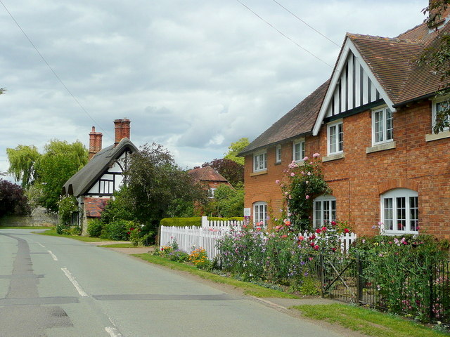
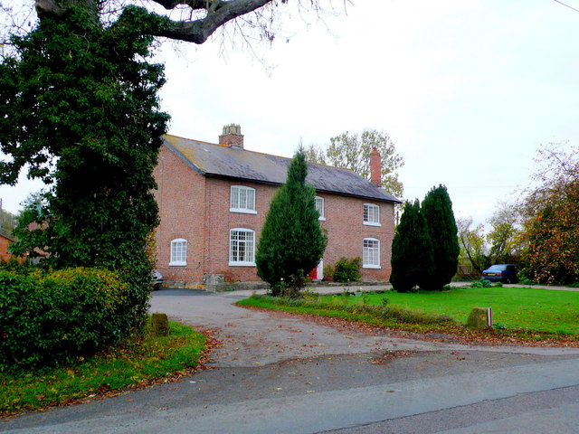
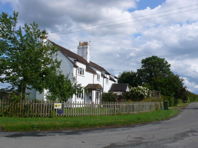
With a population of around 200 residents, Murcot maintains its charm as a close-knit community. It boasts a mix of architectural styles, showcasing a blend of traditional Cotswold stone cottages and more modern houses. The village is known for its beautiful gardens, with many residents taking pride in their well-maintained floral displays.

Despite its size, Murcot benefits from a few amenities. There is a local pub, The Fleece Inn, which dates back to the 15th century and offers a warm and welcoming atmosphere for visitors and locals alike. The inn serves traditional pub food and hosts regular events such as live music and beer festivals. Additionally, a village hall provides a space for community gatherings and events.

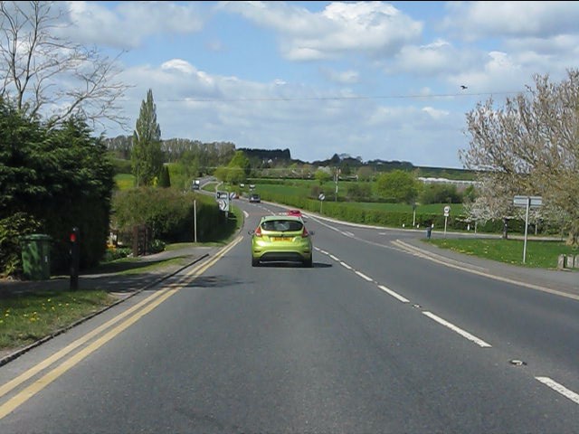
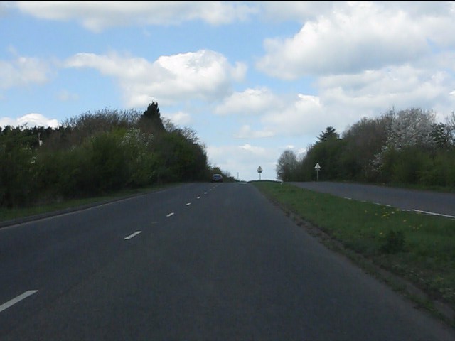
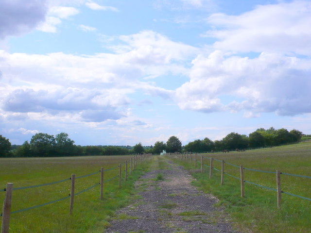
The surrounding countryside offers opportunities for outdoor activities, including walking and cycling. The nearby Cotswold Way, a long-distance footpath, passes close to Murcot, providing access to stunning views and scenic routes. The village also benefits from its proximity to the Cotswolds Area of Outstanding Natural Beauty, which attracts tourists throughout the year.

Overall, Murcot is a charming and idyllic village, offering a tranquil escape from the hustle and bustle of larger towns and cities.

If you have any feedback on the listing, please let us know in the comments section below.

Murcot Images

Images are sourced within 2km of 52.060106/-1.908806 or Grid Reference SP0640. Thanks to Geograph Open Source API. All images are credited.

Childswickham - The Cross
A44 at the turning for Murcot
A44 at the Farm Shop, Wickhamford
A44 - view across the Badsey Brook's valley
A44 at Leystones Garage
A brief interlude of dual carriageway Blessed relief on the A44 over Longdon Hill!
A brief interlude of dual carriageway
Blessed relief on the A44 over Longdon Hill!
Footpath to Wickhamford church Heading north from the Evesham Road.
Footpath to Wickhamford church
Heading north from the Evesham Road.
Cottages in Wickhamford Victorian, and older, farm cottages at the church end of the village.
Cottages in Wickhamford
Victorian, and older, farm cottages at the church end of the village.
House at Wickham Farm This is the main house for what appears to be a large working farm on the west side of Manor Road, the main road down through Wickhamford.
House at Wickham Farm
This is the main house for what appears to be a large working farm on the west side of Manor Road, the main road down through Wickhamford.
Sandys Arms Public House This pub is on Manor Road at its junction with Longdon Hill and Pitchers Hill. The main road , the A44 now misses out the pub by a few yards due to road straightening.
Sandys Arms Public House
This pub is on Manor Road at its junction with Longdon Hill and Pitchers Hill. The main road , the A44 now misses out the pub by a few yards due to road straightening.
Wickhamford This is the green triangle on the A44 at Wickhamford. The old road passes behind the tree and goes off to the village on the right. The road was straightened many years ago and the new straight road is on the left.
Wickhamford
This is the green triangle on the A44 at Wickhamford. The old road passes behind the tree and goes off to the village on the right. The road was straightened many years ago and the new straight road is on the left.
Mown path The footpath now follows the mown line diagonally across the field towards Gallipot Farm.
Mown path
The footpath now follows the mown line diagonally across the field towards Gallipot Farm.
Replacement pole in place A well insulated replacement pole for the electrical reticulation system has been raised between the two wires.  Seen from the footpath.
Replacement pole in place
A well insulated replacement pole for the electrical reticulation system has been raised between the two wires. Seen from the footpath.
Never to drive again [2] In the previous image from May 2010 <a href="https://www.geograph.org.uk/photo/1913627">SP0740 : Never to drive again [1]</a> these two vehicles, then 40 and 37 years old, were in a parlous state.  The two intervening years have not improved their condition.
Never to drive again [2]
In the previous image from May 2010 SP0740 : Never to drive again [1] these two vehicles, then 40 and 37 years old, were in a parlous state. The two intervening years have not improved their condition.
A44 at Murcot turn
A44 at Murcot turn
A44 looking north west
Tally Ho Cottages These cottages are located at a sharp bend in the minor road, Murcot Rd that runs from Childswickham to Wickhamford. This bend was once a "t" junction  with the other road going to Murcot Farm.
Tally Ho Cottages
These cottages are located at a sharp bend in the minor road, Murcot Rd that runs from Childswickham to Wickhamford. This bend was once a "t" junction with the other road going to Murcot Farm.
Horse Paddocks near Wickhamford This land was used as arable land until quite recently and it is adjacent to some large orchards.
Horse Paddocks near Wickhamford
This land was used as arable land until quite recently and it is adjacent to some large orchards.
Show me another place!

Murcot is located at Grid Ref: SP0640 (Lat: 52.060106, Lng: -1.908806)

Administrative County: Worcestershire

District: Wychavon

Police Authority: West Mercia

What 3 Words

///grumbling.wisely.boomers. Near Badsey, Worcestershire

Nearby Locations

Murcot

Related Wikis

Murcot

Murcot is a hamlet in the English county of Worcestershire. Murcot is located in the west of the Vale of Evesham and is to the west and south of the village...

Wickhamford

Wickhamford is a village and a civil parish in Worcestershire, England. It is situated on the A44 road approximately halfway between the towns of Evesham...

Wickhamford Manor

Wickhamford Manor, Wickhamford, Worcestershire is a manor house dating from the 16th century. It was the childhood home of James Lees-Milne, the writer...

Childswickham

Childswickham is a village in Worcestershire, England, situated within the flat open landscape of the Vale of Evesham, between the Bredon and Cotswold...

Badsey

Badsey is a village and civil parish in the Wychavon district of Worcestershire, England. It has two parks and a small first school located in the centre...

Aston Somerville

Aston Somerville is a small village approximately 3 miles (4.8 km) south of Evesham, Worcestershire, England. == History == Historically, the Aston Somerville...

Bengeworth

Bengeworth is a locality adjoining Evesham in Worcestershire, England. In 1887 it had a population of 1,311. Today it has a school and an Anglican church...

Broadway railway station

Broadway railway station is a railway station on the heritage Gloucestershire Warwickshire Railway in the village of Broadway in Worcestershire, England...

Nearby Amenities

Located within 500m of 52.060106,-1.908806
Murcot
Place: village
Wikidata: Q12062198
Wikipedia: en:Murcot
Lat/Long: 52.0589368/-1.9101047
Murcot Road
Naptan AtcoCode: 2000G088101
Naptan Bearing: NE
Naptan BusStopType: CUS
Naptan CommonName: Murcot Road
Naptan Crossing: Murcot Road
Naptan Indicator: Opp
Naptan NaptanCode: wocdagpm
Naptan Street: Murcot Turn
Naptan Verified: no
Source: naptan_import
Lat/Long: 52.0604091/-1.9046941
Murcot Turn
Addr Locality: Broadway
Naptan AtcoCode: 2000G788101
Naptan Bearing: S
Naptan BusStopType: CUS
Naptan CommonName: Murcot Turn
Naptan Crossing: Murcot Turn
Naptan Indicator: Adj
Naptan NaptanCode: wocdtwmp
Naptan Street: Murcot Road
Naptan Verified: no
Source: naptan_import
Lat/Long: 52.0603042/-1.9045969
Post Box
Collection Times: Mo-Fr 16:15; Sa 07:30; Su off
Post Box Type: lamp
Ref: WR12 91
Royal Cypher: EIIR
Royal Cypher Wikidata: Q33102113
Lat/Long: 52.0593136/-1.9093338
Barrier: stile
Lat/Long: 52.0584672/-1.9063882
Barrier: stile
Lat/Long: 52.0597258/-1.9068341
Tally Ho Corner
Junction: yes
Lat/Long: 52.0602814/-1.9048124
Murcot
Power: pole
Transformer: distribution
Voltage Primary: 11000
Lat/Long: 52.0595229/-1.9090448
Murcot East
Power: pole
Transformer: distribution
Voltage Primary: 11000
Lat/Long: 52.0600094/-1.9047318
Power: pole
Lat/Long: 52.0599896/-1.9056492
Murcot Barn
Power: pole
Transformer: distribution
Voltage Primary: 11000
Lat/Long: 52.0599624/-1.9062755
Power: pole
Lat/Long: 52.0599525/-1.9069742
Power: pole
Lat/Long: 52.0599022/-1.9081141
Power: pole
Lat/Long: 52.0598396/-1.9094123
Murcot West
Power: pole
Transformer: distribution
Voltage Primary: 11000
Lat/Long: 52.0585957/-1.9126383
Power: pole
Lat/Long: 52.0587961/-1.9119269
Power: pole
Lat/Long: 52.0590224/-1.9111323
Power: pole
Lat/Long: 52.059553/-1.9107454
Power: pole
Lat/Long: 52.0598676/-1.9101989
Power: pole
Lat/Long: 52.0602024/-1.9096188
Power: pole
Lat/Long: 52.060848/-1.9099166
Power: pole
Lat/Long: 52.0614846/-1.9101794
Power: pole
Lat/Long: 52.0621466/-1.9101767
Lower Farm Murcot
Power: pole
Transformer: distribution
Voltage Primary: 11000
Lat/Long: 52.0626395/-1.9101687
Power: pole
Lat/Long: 52.0631099/-1.9089352
Power: pole
Lat/Long: 52.064466/-1.908837
Power: pole
Lat/Long: 52.0638022/-1.9088893
The data included in this document is from www.openstreetmap.org. The data is made available under ODbL.

Have you been to Murcot?

Leave your review of Murcot below (or comments, questions and feedback).