Mulberry

Settlement in Cornwall

England

Mulberry

Ex GWR 2-8-0T locomotive No. 4247 waiting at Boscarne Junction Ex GWR 2-8-0T locomotive No. 4247  waiting to depart from Boscarne Junction on the Bodmin and Wenford Railway.  The train will head back to Bodmin General Station and then onward to Bodmin Parkway on the GWR main line.
Ex GWR 2-8-0T locomotive No. 4247 waiting at Boscarne Junction Credit: Bob Walters

Mulberry is a small, picturesque village located in the county of Cornwall, England. Situated on the southern coast, Mulberry is known for its stunning natural beauty, charming cottages, and rich history. With a population of around 500 residents, it offers a peaceful and tranquil environment for both locals and visitors alike.

The village is surrounded by rolling hills and lush green fields, providing breathtaking views of the countryside. Mulberry is also nestled near the coast, offering easy access to pristine sandy beaches and rugged cliffs. Its proximity to the famous Cornwall Coastal Path makes it a popular destination for hikers, nature enthusiasts, and those seeking a peaceful retreat.

Mulberry boasts a rich history dating back centuries. The village is home to several historical landmarks, including a medieval church that dates back to the 13th century. Its narrow, winding streets are lined with traditional Cornish houses made of local stone, adding to its quintessential charm.

Despite its small size, Mulberry has a strong sense of community. The village hosts various events throughout the year, including a summer fair and a Christmas market, where locals and visitors come together to celebrate and enjoy local traditions.

In terms of amenities, Mulberry offers a village shop, a cozy pub, and a small café, ensuring residents have access to everyday essentials and a place to socialize. For additional amenities, the larger towns of Truro and Falmouth are just a short drive away.

Mulberry, Cornwall, with its natural beauty, rich history, and strong sense of community, offers a delightful and idyllic destination for those seeking a peaceful retreat in the heart of Cornwall.

If you have any feedback on the listing, please let us know in the comments section below.
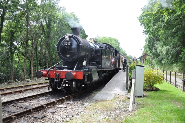
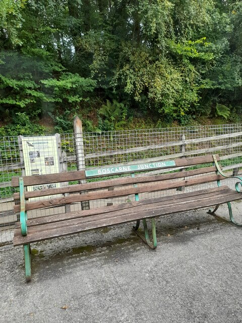
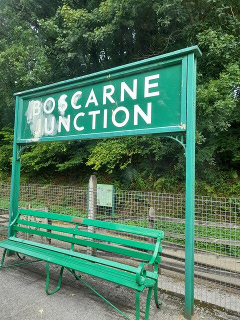
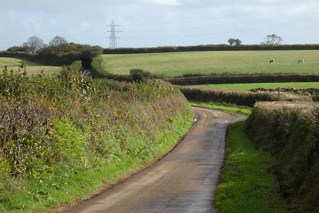
Mulberry Images

Images are sourced within 2km of 50.462483/-4.780902 or Grid Reference SX0266. Thanks to Geograph Open Source API. All images are credited.

Ex GWR 2-8-0T locomotive No. 4247 waiting at Boscarne Junction Ex GWR 2-8-0T locomotive No. 4247  waiting to depart from Boscarne Junction on the Bodmin and Wenford Railway.  The train will head back to Bodmin General Station and then onward to Bodmin Parkway on the GWR main line.
Ex GWR 2-8-0T locomotive No. 4247 waiting at Boscarne Junction
Ex GWR 2-8-0T locomotive No. 4247 waiting to depart from Boscarne Junction on the Bodmin and Wenford Railway. The train will head back to Bodmin General Station and then onward to Bodmin Parkway on the GWR main line.
Camel Trail in Cottonwoods The National Cycle Network is a network of cycle routes. It was created by the charity Sustrans <span class="nowrap"><a title="http://www.sustrans.org.uk/what-we-do/national-cycle-network" rel="nofollow ugc noopener" href="http://www.sustrans.org.uk/what-we-do/national-cycle-network">Link</a><img style="margin-left:2px;" alt="External link" title="External link - shift click to open in new window" src="https://s1.geograph.org.uk/img/external.png" width="10" height="10"/></span>  (Sustainable Transport), aided by a National Lottery grant.

Many routes aim to minimise contact with motor traffic, though 70% of them are on roads. In some cases the NCN uses pedestrian routes, disused railways, minor roads, canal towpaths, or traffic-calmed routes in towns and cities.
Camel Trail in Cottonwoods
The National Cycle Network is a network of cycle routes. It was created by the charity Sustrans LinkExternal link (Sustainable Transport), aided by a National Lottery grant. Many routes aim to minimise contact with motor traffic, though 70% of them are on roads. In some cases the NCN uses pedestrian routes, disused railways, minor roads, canal towpaths, or traffic-calmed routes in towns and cities.
Camel Trail south-west of Denby The National Cycle Network is a network of cycle routes. It was created by the charity Sustrans <span class="nowrap"><a title="http://www.sustrans.org.uk/what-we-do/national-cycle-network" rel="nofollow ugc noopener" href="http://www.sustrans.org.uk/what-we-do/national-cycle-network">Link</a><img style="margin-left:2px;" alt="External link" title="External link - shift click to open in new window" src="https://s1.geograph.org.uk/img/external.png" width="10" height="10"/></span>  (Sustainable Transport), aided by a National Lottery grant.

Many routes aim to minimise contact with motor traffic, though 70% of them are on roads. In some cases the NCN uses pedestrian routes, disused railways, minor roads, canal towpaths, or traffic-calmed routes in towns and cities.
Camel Trail south-west of Denby
The National Cycle Network is a network of cycle routes. It was created by the charity Sustrans LinkExternal link (Sustainable Transport), aided by a National Lottery grant. Many routes aim to minimise contact with motor traffic, though 70% of them are on roads. In some cases the NCN uses pedestrian routes, disused railways, minor roads, canal towpaths, or traffic-calmed routes in towns and cities.
Boscarne Junction
Boscarne Junction
Boscarne Junction
Boscarne Junction
People on the Camel Trail
Farmland, Withiel Maize stubble and pasture either side of the lane descending from Withielgoose.
Farmland, Withiel
Maize stubble and pasture either side of the lane descending from Withielgoose.
Pasture, Lanivet Sheep to the north of Tremore.  A disused quarry is seen within woodland on Mulberry Downs in the background.
Pasture, Lanivet
Sheep to the north of Tremore. A disused quarry is seen within woodland on Mulberry Downs in the background.
Road, Lanivet Heading east from Tremore with a signpost marking the start of a footpath going off to the right towards Higher Woodley.
Road, Lanivet
Heading east from Tremore with a signpost marking the start of a footpath going off to the right towards Higher Woodley.
Pasture, Lanivet Fields and woodland around Ruthernbridge are viewed from the bridleway above Cork Farm.
Pasture, Lanivet
Fields and woodland around Ruthernbridge are viewed from the bridleway above Cork Farm.
The Camel Valley vineyard on a wet day The Camel Valley is hidden along with the rail in the valley below. On a wet day like this it's time for a nice glass of sparkling vino .
The Camel Valley vineyard on a wet day
The Camel Valley is hidden along with the rail in the valley below. On a wet day like this it's time for a nice glass of sparkling vino .
Tollgate House on A389  A house at the crossroads, with the road to the left leading to Nanstallon
Tollgate House on A389
A house at the crossroads, with the road to the left leading to Nanstallon
Camel Trail at Boscarne Junction
Nanstallon Halt on the Camel Trail  The former railway halt was on the opposite bank of the river to the village of Nanstallon
Nanstallon Halt on the Camel Trail
The former railway halt was on the opposite bank of the river to the village of Nanstallon
Camel Valley Vineyard from the Camel Trail  The vineyard is on the south-facing slope above the Camel Trail
Camel Valley Vineyard from the Camel Trail
The vineyard is on the south-facing slope above the Camel Trail
Camel Trail near Denby stables
Camel Trail opposite Cottonwood
Crossroads near Newton
Show me another place!

Mulberry is located at Grid Ref: SX0266 (Lat: 50.462483, Lng: -4.780902)

Unitary Authority: Cornwall

Police Authority: Devon and Cornwall

What 3 Words

///control.menswear.miracle. Near Bodmin, Cornwall

Nearby Locations

Mulberry

Related Wikis

Mulberry, Cornwall

Mulberry is a hamlet in the parish of Lanivet, Cornwall, England. == References ==

New Downs

New Downs is a farm near Camborne and St Agnes in Cornwall, England. == History == The location has been known as New Down or New Downs since at least...

Mulberry Downs Quarry

Mulberry Downs Quarry is a disused opencast tin mine in Cornwall, England, UK. Today the site is described as a 'chasm' being a steep or sheer-sided pit...

Bodwannick

Bodwannick Manor is a house north of Lanivet in mid Cornwall, England, UK. The gardens are a visitor attraction. == References == == External links... ==

Nearby Amenities

Located within 500m of 50.462483,-4.780902
Power: tower
Lat/Long: 50.4600356/-4.776904
Power: tower
Lat/Long: 50.4612642/-4.774193
Little Mulberry
Place: isolated_dwelling
Lat/Long: 50.4626364/-4.7819166
The data included in this document is from www.openstreetmap.org. The data is made available under ODbL.

Have you been to Mulberry?

Leave your review of Mulberry below (or comments, questions and feedback).