Bengate
Settlement in Norfolk North Norfolk
England
Bengate

Bengate is a small village located in the county of Norfolk, England. Situated approximately 10 miles east of the city of Norwich, Bengate is a rural community known for its picturesque countryside and tranquil atmosphere.
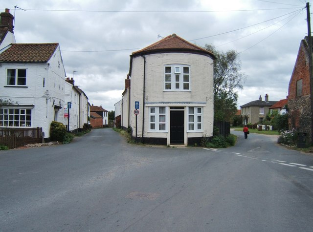
The village is characterized by its charming, traditional English architecture, with many houses dating back several centuries. It is surrounded by rolling green fields, farmland, and meandering country lanes, making it an ideal location for those seeking a peaceful and idyllic setting.
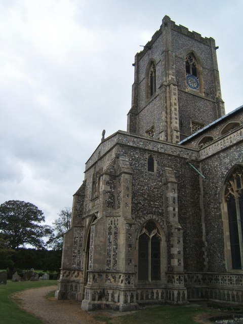
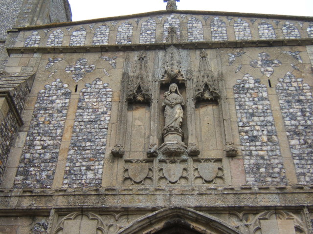
Bengate is a tight-knit community, with a population of around 200 residents. The village is served by a local church, St. Mary's, which dates back to the 14th century and is a prominent historical landmark. The church holds regular services and plays an important role in the community's social and cultural activities.
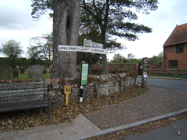
While Bengate itself does not have many amenities, it benefits from its proximity to nearby towns and villages. The larger town of Aylsham is just a short drive away and offers a range of shops, supermarkets, and services for residents' everyday needs.
The surrounding area of Bengate offers plenty of opportunities for outdoor activities, including walking, cycling, and birdwatching. There are also several nature reserves and parks in the vicinity, providing a chance to explore the diverse wildlife of Norfolk.
In summary, Bengate is a charming and peaceful village in Norfolk, offering a quintessential English countryside experience. With its rural setting, historical landmarks, and access to nearby amenities, it provides a desirable place to live for those seeking a slower pace of life.
If you have any feedback on the listing, please let us know in the comments section below.
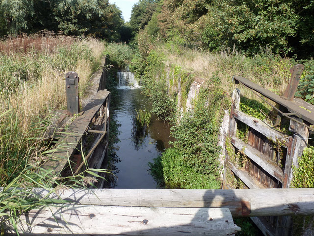
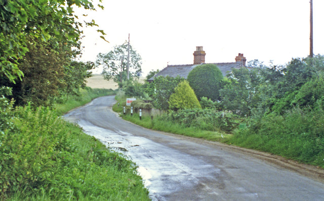
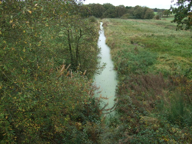
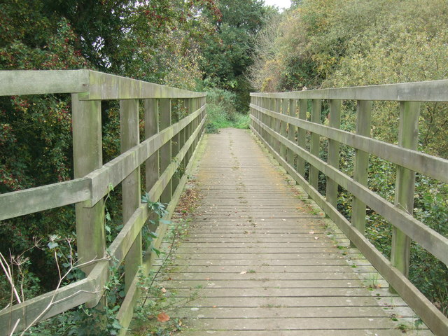
Bengate Images
Images are sourced within 2km of 52.79437/1.418969 or Grid Reference TG3027. Thanks to Geograph Open Source API. All images are credited.


Bengate is located at Grid Ref: TG3027 (Lat: 52.79437, Lng: 1.418969)
Administrative County: Norfolk
District: North Norfolk
Police Authority: Norfolk
What 3 Words
///copes.succumbs.proved. Near North Walsham, Norfolk
Related Wikis

Bengate
Bengate is a hamlet in Norfolk, England, and falls within the civil parish of Worstead. There is little in Bengate, but it is known for the Weavers' Way...
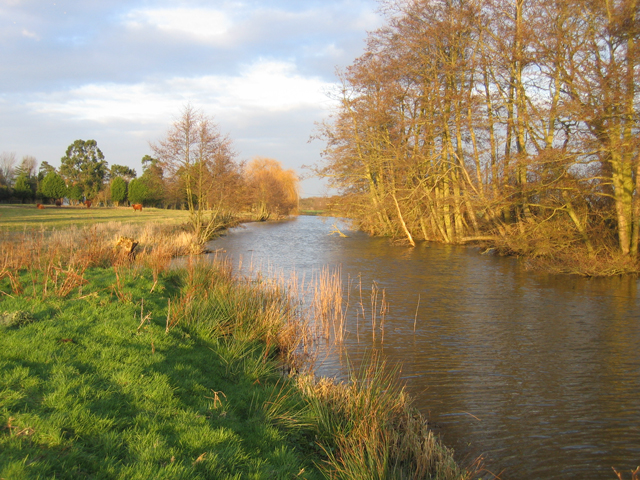
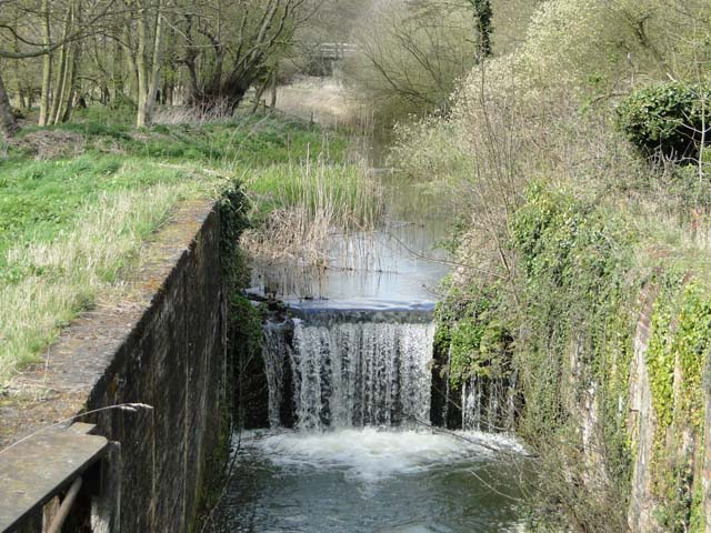
North Walsham & Dilham Canal
The North Walsham and Dilham Canal is a waterway in the English county of Norfolk. It was authorised by Parliament in 1812, but work on the construction...
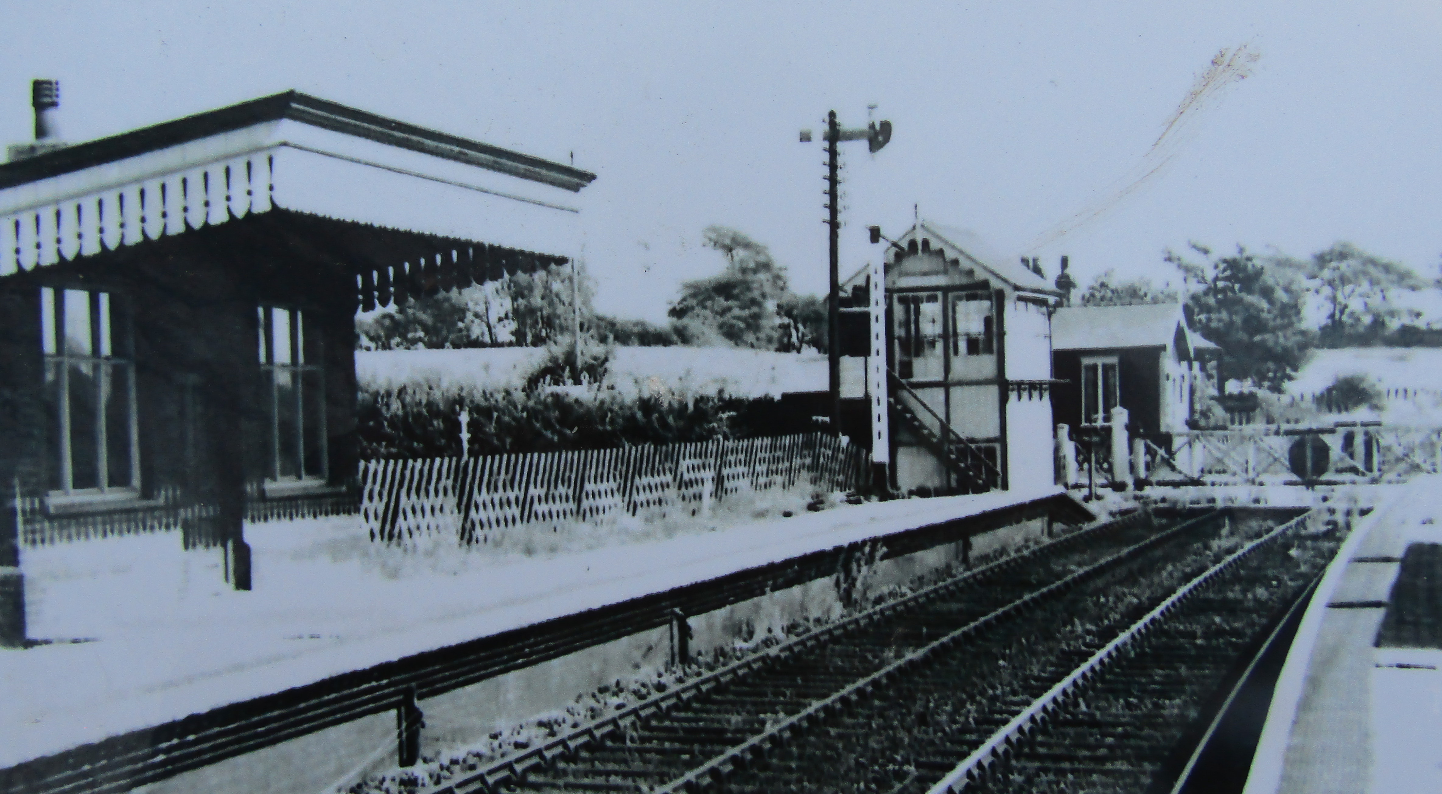
Honing railway station
Honing railway station was a station in Norfolk, England, serving the small village of Honing. It was on the Midland and Great Northern Joint Railway between...

Worstead
Worstead is a village and civil parish in the English county of Norfolk. It lies 3 miles (5 km) south of North Walsham, 5 miles (8 km) north of Wroxham...
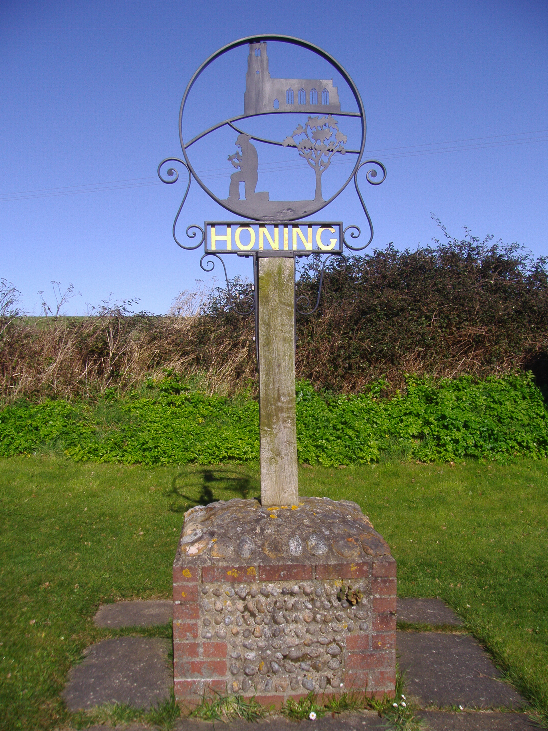
Honing, Norfolk
Honing is a village and a civil parish in the English county of Norfolk. The village is 15 miles (24 km) north-northeast of Norwich, 13 miles (21 km) south...
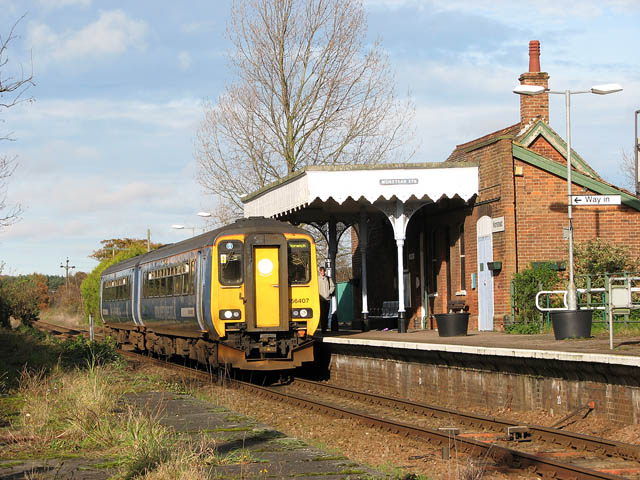
Worstead railway station
Worstead railway station is on the Bittern Line in Norfolk, England, serving the villages of Worstead and Sloley. It is 13 miles 12 chains (21.2 km) down...

Westwick, Norfolk
Westwick is a village and civil parish in the English county of Norfolk, situated to the south of North Walsham. It covers an area of 4.88 km2 (1.88 sq...

Dilham Castle
Dilham Castle, also called Dilham Hall, is situated in the village of Dilham, near Stalham in Norfolk, England. == Details == Dilham Castle was built in...
Nearby Amenities
Located within 500m of 52.79437,1.418969Have you been to Bengate?
Leave your review of Bengate below (or comments, questions and feedback).