Benfieldside
Settlement in Durham
England
Benfieldside

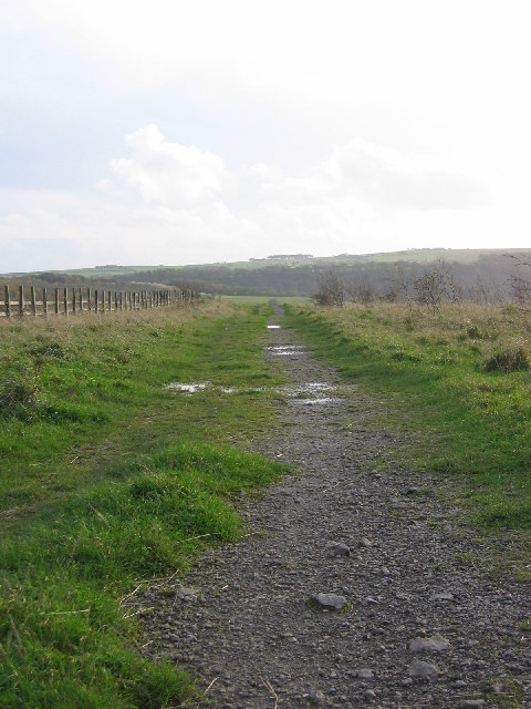
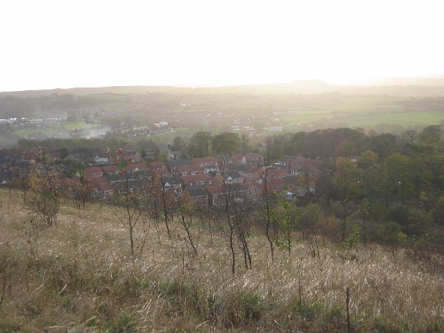
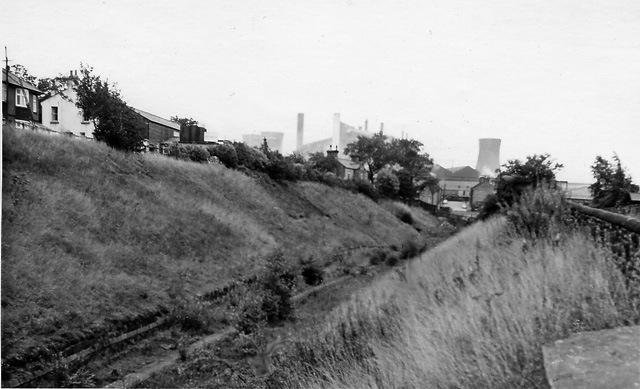
Benfieldside is a small village located in the county of Durham, England. Situated just 2 miles south of Consett, it is nestled in the picturesque landscape of the Derwent Valley. The village is known for its natural beauty, with rolling hills, lush green fields, and the River Derwent flowing through its heart.
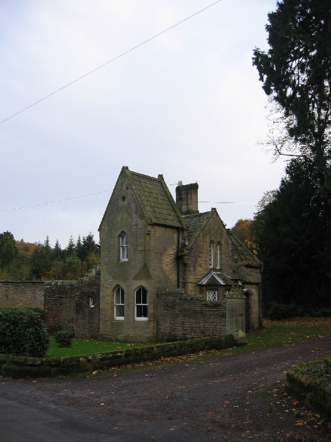
With a population of around 2,500 residents, Benfieldside offers a peaceful and close-knit community atmosphere. The village is primarily residential, with a mix of traditional stone-built houses and more modern developments. The architecture reflects the area's rich history, with some buildings dating back to the 18th and 19th centuries.
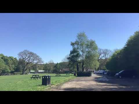
Benfieldside is well-served by amenities, including a primary school, a library, and a community center. The village also boasts a range of local shops, cafes, and pubs, providing essential services and a place for residents to socialize. For those seeking outdoor activities, there are several parks and green spaces nearby, offering opportunities for walking, cycling, and picnicking.
The village benefits from good transport links, with regular bus services connecting it to Consett and other nearby towns. The A691 road also runs through Benfieldside, providing easy access to Durham City and Newcastle upon Tyne.
Overall, Benfieldside is a charming and peaceful village with a strong sense of community. Its idyllic location and range of amenities make it an attractive place to live for those seeking a quieter lifestyle amidst the beauty of the Durham countryside.
If you have any feedback on the listing, please let us know in the comments section below.
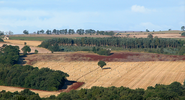
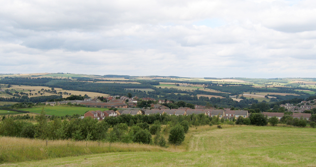
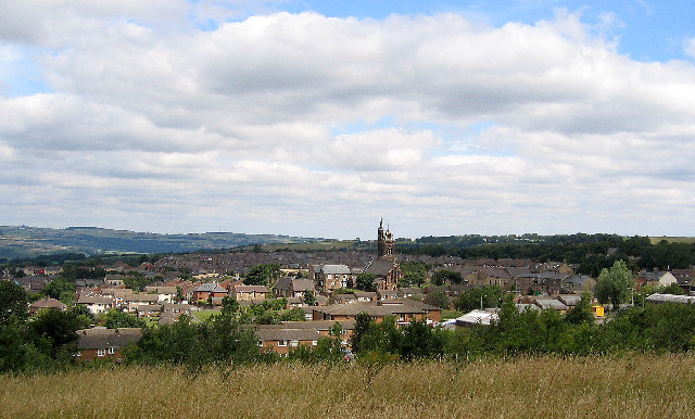
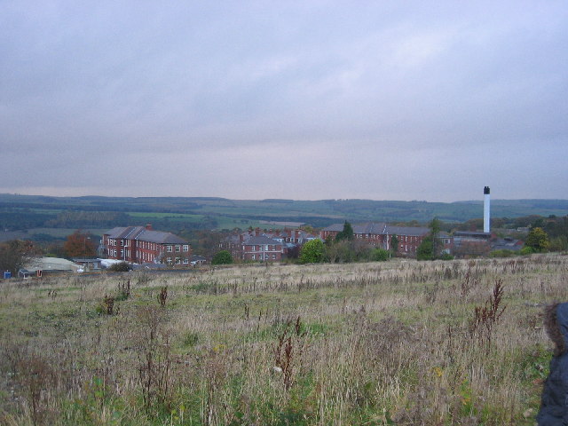
Benfieldside Images
Images are sourced within 2km of 54.866046/-1.85787 or Grid Reference NZ0952. Thanks to Geograph Open Source API. All images are credited.


Benfieldside is located at Grid Ref: NZ0952 (Lat: 54.866046, Lng: -1.85787)
Unitary Authority: County Durham
Police Authority: Durham
What 3 Words
///blues.cheese.asset. Near Consett, Co. Durham
Nearby Locations
Related Wikis

Benfieldside
Benfieldside is a parish in County Durham, in England. Although not a village in its own right (ecclesiastically it incorporates Shotley Bridge, Bridgehill...
Shotley Bridge
Shotley Bridge is a village, adjoining the town of Consett to the south in County Durham, England, 15 miles North West of Durham City. It is located on...

Shotley Hall
Shotley Hall is a Grade II* listed historic mansion in Shotley Low Quarter, Northumberland, England. It was designed in the Gothic Revival architectural...

Bridgehill
Bridgehill is an area of Consett in County Durham, England. It is situated near Benfieldside, Blackhill, Shotley Grove, and the River Derwent. == References... ==
Shotley Grove
Shotley Grove is a small settlement on the river Derwent, about 1 mile upstream of Shotley Bridge in County Durham, England. Today Shotley Grove is a pleasant...

Shotley Park
Shotley Park is a former stately home and estate near the town of Shotley Bridge in County Durham, England. It is a listed building with grade II.The house...

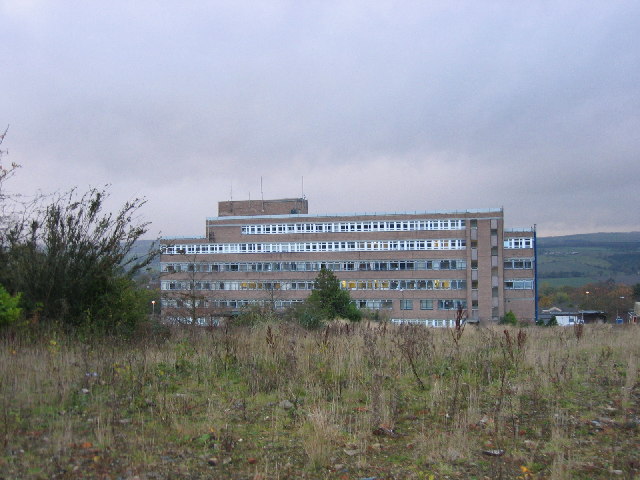
Shotley Bridge Hospital
Shotley Bridge Hospital is a healthcare facility in Shotley Bridge, County Durham, England. It is managed by the County Durham and Darlington NHS Foundation...
Blackhill railway station
Blackhill railway station served the village of Blackhill, County Durham, England from 1867 to 1955 on the Derwent Valley Line. == History == The station...
Related Videos

Multi-sport Camp | Summer Holiday Activities
Keep the kids active during the holidays at a multi-sport camp at Consett Leisure Centre. Suitable for 6 - 12 year olds, children can ...
Allensford near Consett
Great place to visit good food from the cafe, nice walks by the river and through the woods. We loved out two days there over the ...

The Adventures Of Sinclair - Wharnley Burn Waterfall , Consett
Walking Bruno Our Cockapoo.
Nearby Amenities
Located within 500m of 54.866046,-1.85787Have you been to Benfieldside?
Leave your review of Benfieldside below (or comments, questions and feedback).