Mose

Settlement in Shropshire

England

Mose

Anthony Twentyman 1978 He was a local artist who has several works in the house and grounds at Dudmaston.
Anthony Twentyman 1978 Credit: Kokai

Mose is a small village located in the county of Shropshire, England. Situated approximately 5 miles north of the town of Bridgnorth, Mose is nestled amidst the picturesque countryside of the West Midlands region. The village is part of the civil parish of Highley and falls within the jurisdiction of Shropshire Council.

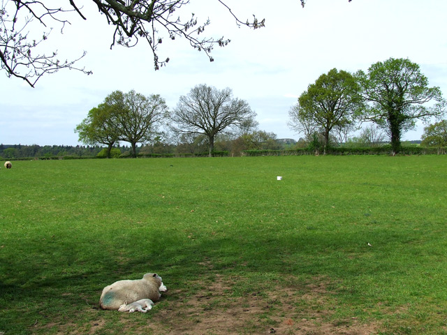
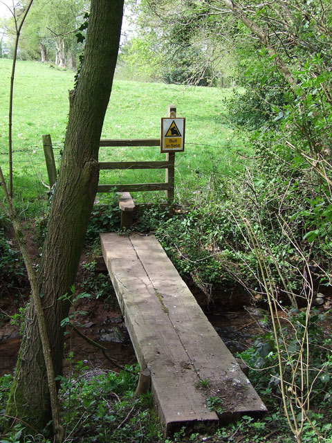
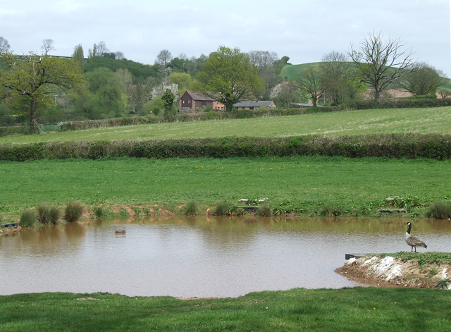
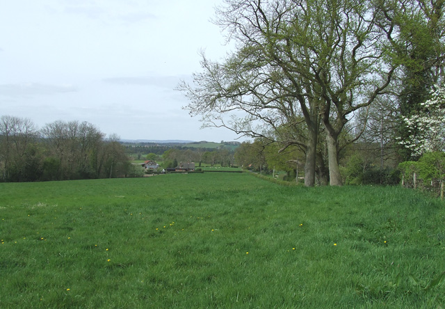
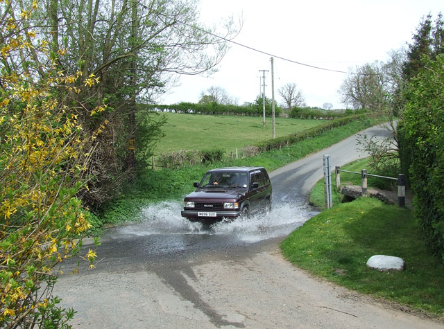
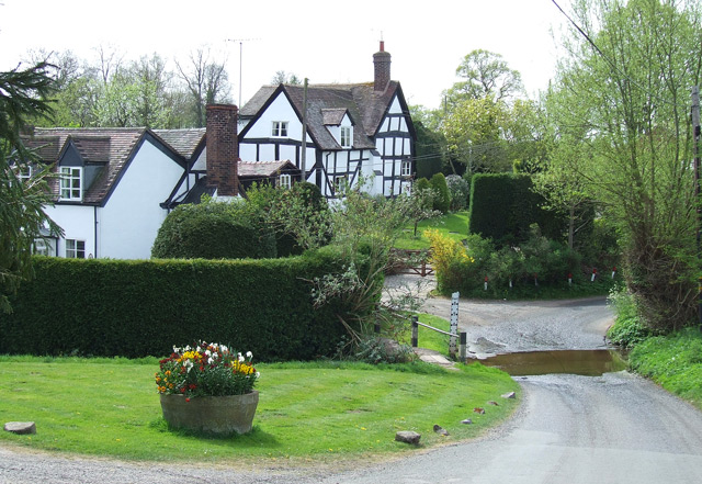
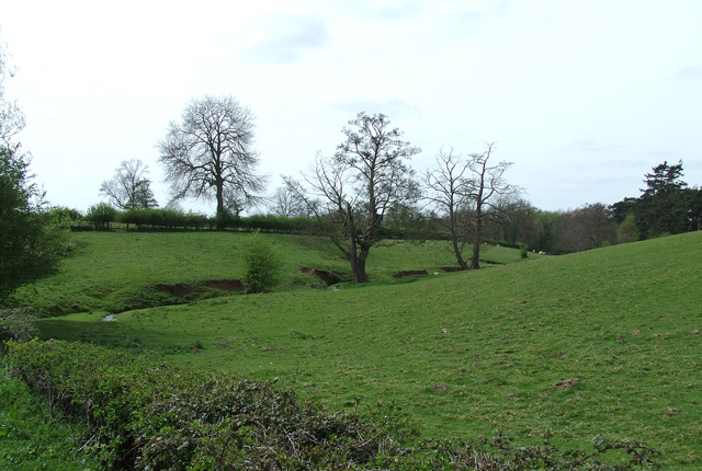
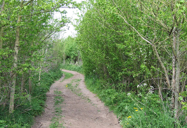
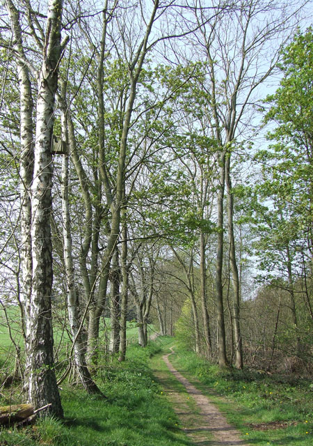
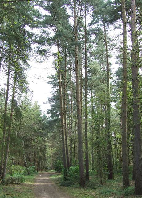
With a population of around 500 residents, Mose offers a tranquil and close-knit community atmosphere. The village is characterized by its charming rural setting, with rolling green fields, meandering streams, and scenic woodlands that surround the area. The landscape provides an ideal backdrop for outdoor activities such as walking, cycling, and exploring nature.

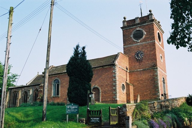
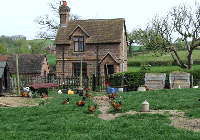
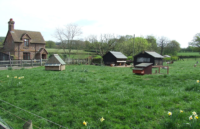
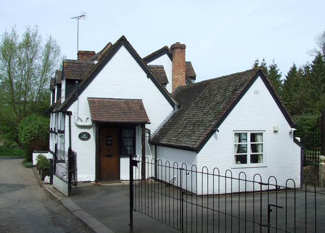
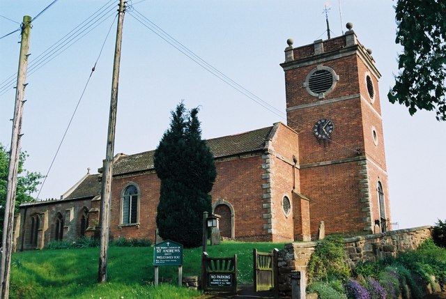
Mose boasts a number of historic buildings, including St. Mary's Church, which dates back to the 12th century and still holds regular services. The village also features several traditional cottages and farmhouses, reflecting its rich agricultural heritage.

In terms of amenities, Mose is relatively limited. However, the nearby town of Bridgnorth offers a wider range of facilities, including shops, supermarkets, schools, and healthcare services. Mose itself benefits from a village hall, which serves as a venue for community events, meetings, and social gatherings.

Overall, Mose offers a peaceful and idyllic lifestyle for its residents, appealing to those seeking a rural retreat away from the hustle and bustle of larger towns and cities. Its close proximity to Bridgnorth provides easy access to additional amenities, making it an attractive place to live for those who value both tranquility and convenience.

If you have any feedback on the listing, please let us know in the comments section below.
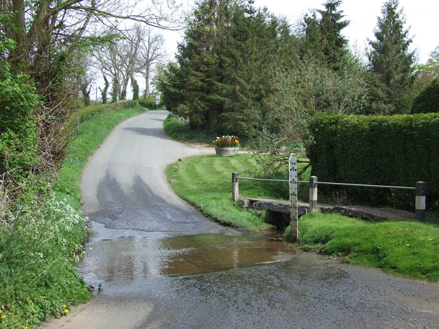
Mose Images

Images are sourced within 2km of 52.508306/-2.360211 or Grid Reference SO7590. Thanks to Geograph Open Source API. All images are credited.

Anthony Twentyman 1978 He was a local artist who has several works in the house and grounds at Dudmaston.
Anthony Twentyman 1978
He was a local artist who has several works in the house and grounds at Dudmaston.
A building in Dudmaston grounds There are extensive walks - notably around a rather old system of dams for landscaping purposes.
A building in Dudmaston grounds
There are extensive walks - notably around a rather old system of dams for landscaping purposes.
Quatt - St Andrew's Church Dating back to Saxon times the church was restored in 1763. The west gallery and organ date from 1950s.
Quatt - St Andrew's Church
Dating back to Saxon times the church was restored in 1763. The west gallery and organ date from 1950s.
Old barn in Wooton, Shropshire Not converted yet, but are its days numbered?

December 2023 update: Yes they were! It has been converted into two residences (circa 2016-2017) called Gable End Barn and Meadow Barn. Purchase cost in 2017? £1,050,000 for the two!
A third newbuild "barn" is now off to the right, which was £630,000.
Old barn in Wooton, Shropshire
Not converted yet, but are its days numbered? December 2023 update: Yes they were! It has been converted into two residences (circa 2016-2017) called Gable End Barn and Meadow Barn. Purchase cost in 2017? £1,050,000 for the two! A third newbuild "barn" is now off to the right, which was £630,000.
Grazing, Wooton, Shropshire
Story book cottage in Wooton, Shropshire Stone House is by Duken Lane. I promise I haven't lifted this from a child's story book. It's as real as the chickens in the yard!
Story book cottage in Wooton, Shropshire
Stone House is by Duken Lane. I promise I haven't lifted this from a child's story book. It's as real as the chickens in the yard!
Nasty surprise on the public footpath near Wooton, Shropshire The footpath has just led from the pub, through the meadow, down into Wooton Dingle, and over this bridge and stile....but..."BULL IN FIELD". Today he was at the top of the field with his harem!
Nasty surprise on the public footpath near Wooton, Shropshire
The footpath has just led from the pub, through the meadow, down into Wooton Dingle, and over this bridge and stile....but..."BULL IN FIELD". Today he was at the top of the field with his harem!
Stone House, Wooton, Shropshire If this hasn't been used for TV kids' programmes I'm amazed!!
Stone House, Wooton, Shropshire
If this hasn't been used for TV kids' programmes I'm amazed!!
Pond and Grazing Land, Wooton, Shropshire The pond is close to the little "Stone House" and seems to be a recent construction (not on the 1999 or 2006 1:25000 OS maps).
Pond and Grazing Land, Wooton, Shropshire
The pond is close to the little "Stone House" and seems to be a recent construction (not on the 1999 or 2006 1:25000 OS maps).
Meadow, Wooton, Shropshire Two public footpaths allow access across this lush grass, down to a crossing of Wooton Dingle.
Meadow, Wooton, Shropshire
Two public footpaths allow access across this lush grass, down to a crossing of Wooton Dingle.
The Ford at Wooton, Shropshire
Brook Cottage, Wooton, Shropshire The ford is on the other side of the cottage.
Brook Cottage, Wooton, Shropshire
The ford is on the other side of the cottage.
The Ford at Wooton, Shropshire
Ford and Cottages, Wooton, Shropshire The cottages and ford area are very well looked after.
Ford and Cottages, Wooton, Shropshire
The cottages and ford area are very well looked after.
The Brook at Wooton, Shropshire This shows the line of the brook which flows from left to right. The ford is off picture to the left.
The Brook at Wooton, Shropshire
This shows the line of the brook which flows from left to right. The ford is off picture to the left.
Byway approaching Wooton in Shropshire Classified as a byway "open to all traffic", this is one of the good bits!! There is farmland off to the left and right.
Byway approaching Wooton in Shropshire
Classified as a byway "open to all traffic", this is one of the good bits!! There is farmland off to the left and right.
Footpath to the pools by Comer Wood in Shropshire The fields to the left contain cereal crops. Looking at this image sixteen years later, it appears I went the wrong way and this is not the public footpath shown on the maps. That is parallel to this one, through the wood about fifty metres to the north.
Footpath to the pools by Comer Wood in Shropshire
The fields to the left contain cereal crops. Looking at this image sixteen years later, it appears I went the wrong way and this is not the public footpath shown on the maps. That is parallel to this one, through the wood about fifty metres to the north.
Coniferous woodland near Quatford, Shropshire Looking south-east towards the pools by Comer Wood.
Although this part of the wood is coniferous, there are some areas which are more mixed in character.
Coniferous woodland near Quatford, Shropshire
Looking south-east towards the pools by Comer Wood. Although this part of the wood is coniferous, there are some areas which are more mixed in character.
Show me another place!

Mose is located at Grid Ref: SO7590 (Lat: 52.508306, Lng: -2.360211)

Unitary Authority: Shropshire

Police Authority: West Mercia

What 3 Words

///storage.tarnished.monorail. Near Bridgnorth, Shropshire

Nearby Locations

Mose Gags Hill

Related Wikis

Dudmaston Hall

Dudmaston Hall is a 17th-century country house in the care of the National Trust in the Severn Valley, Shropshire, England. Dudmaston Hall is located near...

Quatford

Quatford is a village in the civil parish of Bridgnorth, in the Severn Valley, Shropshire, England. It is located on the A442, just south of the town of...

Morfe Forest

Morfe Forest was a medieval royal forest in east Shropshire. The forest was perambulated in 1300 and the bounds were recorded. The forest was bounded...

Quatt

Quatt is a small village in Shropshire, England in the Severn Valley. The civil parish, formally known as Quatt Malvern, has a population of 219 according...

Nearby Amenities

Located within 500m of 52.508306,-2.360211
Mose
Place: hamlet
Source: OS_OpenData_StreetView
Lat/Long: 52.5083612/-2.3602614
Gags Rock
Lat/Long: 52.5126428/-2.3608193
The data included in this document is from www.openstreetmap.org. The data is made available under ODbL.

Have you been to Mose?

Leave your review of Mose below (or comments, questions and feedback).