Moorhole
Settlement in Derbyshire
England
Moorhole
Moorhole is a small village located in the county of Derbyshire, England. Situated in the heart of the Peak District National Park, it is nestled amidst picturesque landscapes and offers a tranquil and idyllic setting for residents and visitors alike.
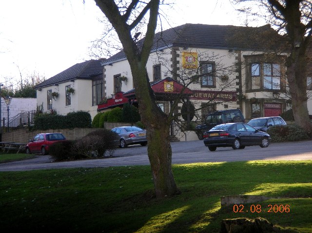
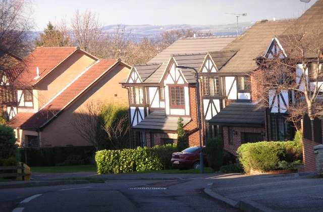
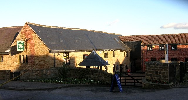
The village is characterized by its traditional stone-built cottages and charming rural atmosphere. With a population of around 300 residents, Moorhole maintains a close-knit and friendly community spirit. The village is served by a local pub, The Moorhole Arms, which is a popular gathering spot for locals and tourists, offering a variety of traditional ales and hearty pub food.
Surrounded by stunning natural beauty, Moorhole is a haven for outdoor enthusiasts. The nearby moorland and rolling hills provide ample opportunities for hiking, walking, and exploring the countryside. The village is also home to several well-maintained footpaths and trails, making it an ideal destination for those seeking a peaceful and scenic retreat.
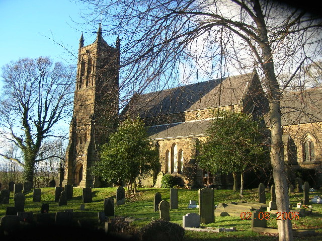
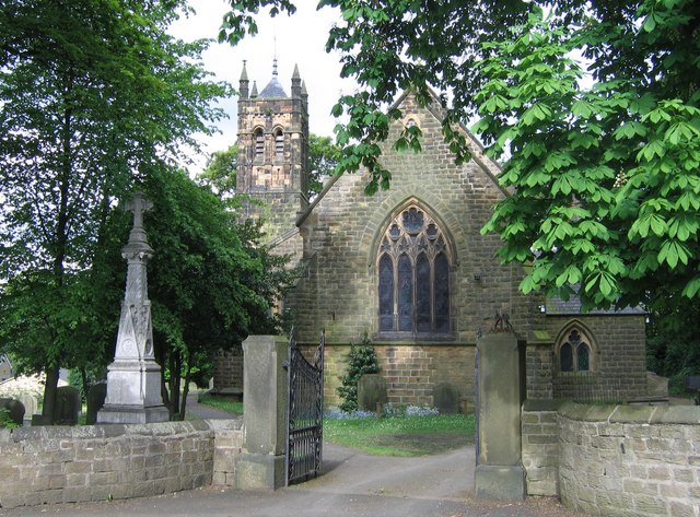
In addition to its natural attractions, Moorhole boasts a rich history. The village is believed to have been settled during the medieval period, and remnants of the past can still be seen in the form of historic buildings and landmarks. The local church, St. Mary's, is a notable example, with its beautiful architecture and fascinating heritage.
Overall, Moorhole offers a charming and serene escape from the hustle and bustle of modern life. With its scenic landscapes, friendly community, and rich history, it is a destination that truly embodies the beauty and charm of the English countryside.
If you have any feedback on the listing, please let us know in the comments section below.
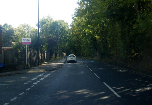
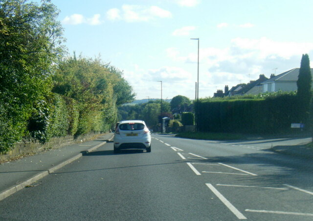
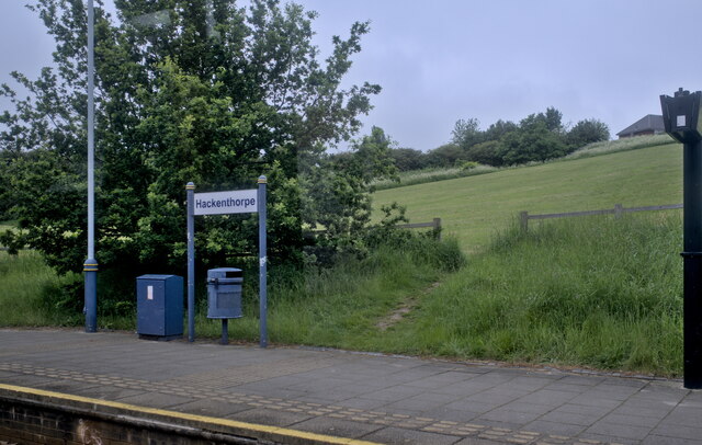
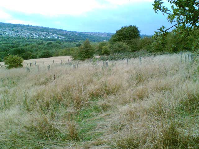
Moorhole Images
Images are sourced within 2km of 53.336974/-1.380476 or Grid Reference SK4182. Thanks to Geograph Open Source API. All images are credited.


Moorhole is located at Grid Ref: SK4182 (Lat: 53.336974, Lng: -1.380476)
Unitary Authority: Sheffield
Police Authority: South Yorkshire
What 3 Words
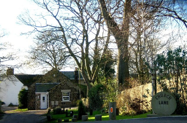
///trip.types.month. Near Beighton, South Yorkshire
Related Wikis

Christ Church, Hackenthorpe
Christ Church is a church situated in Hackenthorpe, a suburb of the City of Sheffield. It is located on Sheffield road, and was built in 1899. The church...

Hackenthorpe
Hackenthorpe is a village 5 miles south east of Sheffield’s city centre, now classed as a historic township of the city. Due to much expansion, the village...
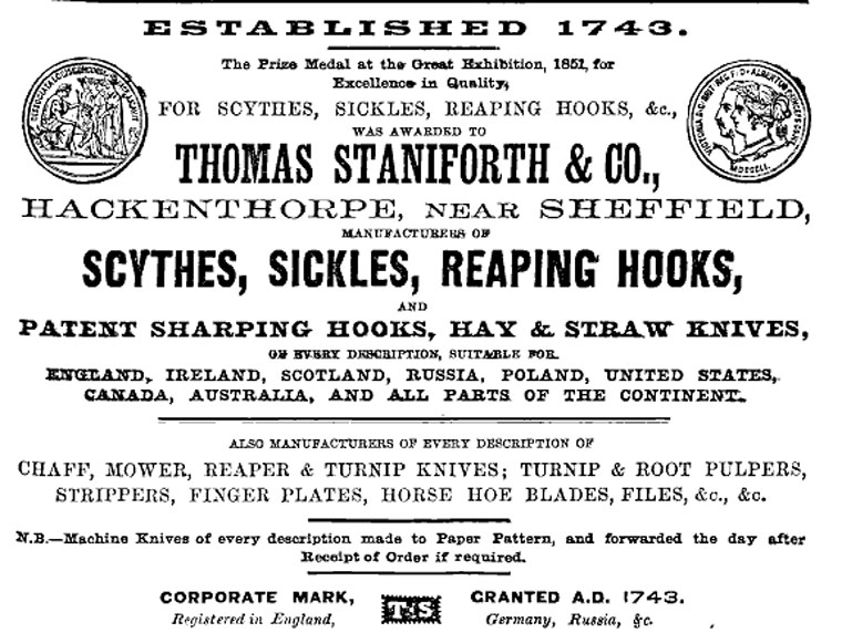
Thomas Staniforth & Co
Thomas Staniforth & Co. was a sickle, scythe and tool smiths based in Hackenthorpe, Sheffield, England. The company was founded by Thomas Staniforth in...
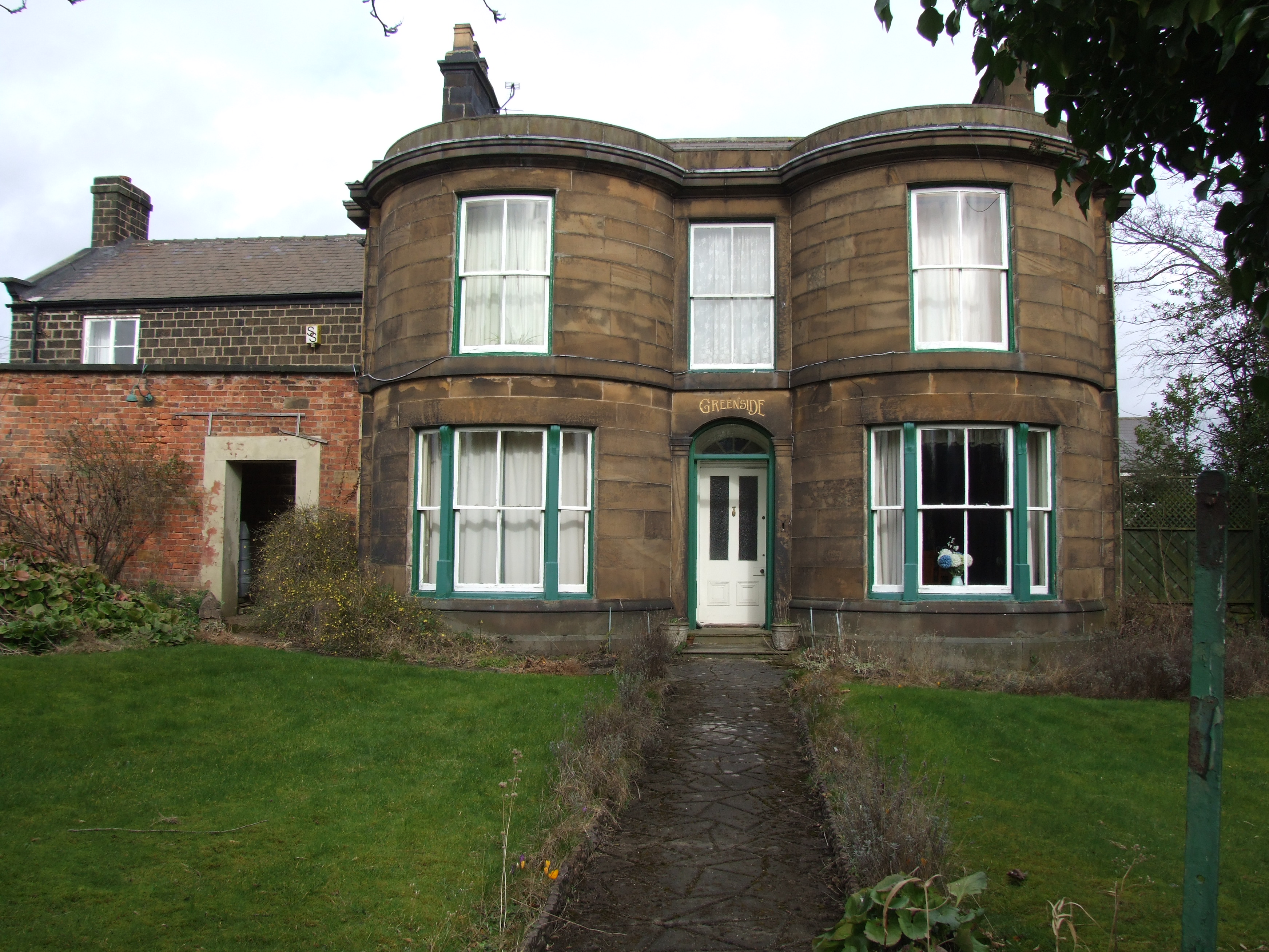
Greenside House
Greenside House is an 18th-century residence located in Hackenthorpe, Sheffield, England. The building is estimated to have been built around 1825 and...
Nearby Amenities
Located within 500m of 53.336974,-1.380476Have you been to Moorhole?
Leave your review of Moorhole below (or comments, questions and feedback).