Moorhead
Settlement in Yorkshire
England
Moorhead

Moorhead is a small village located in the North Yorkshire county of England. Situated approximately 4 miles southwest of the town of Skipton, Moorhead falls within the Craven district. With a population of around 500 residents, the village is known for its peaceful surroundings and picturesque landscapes.
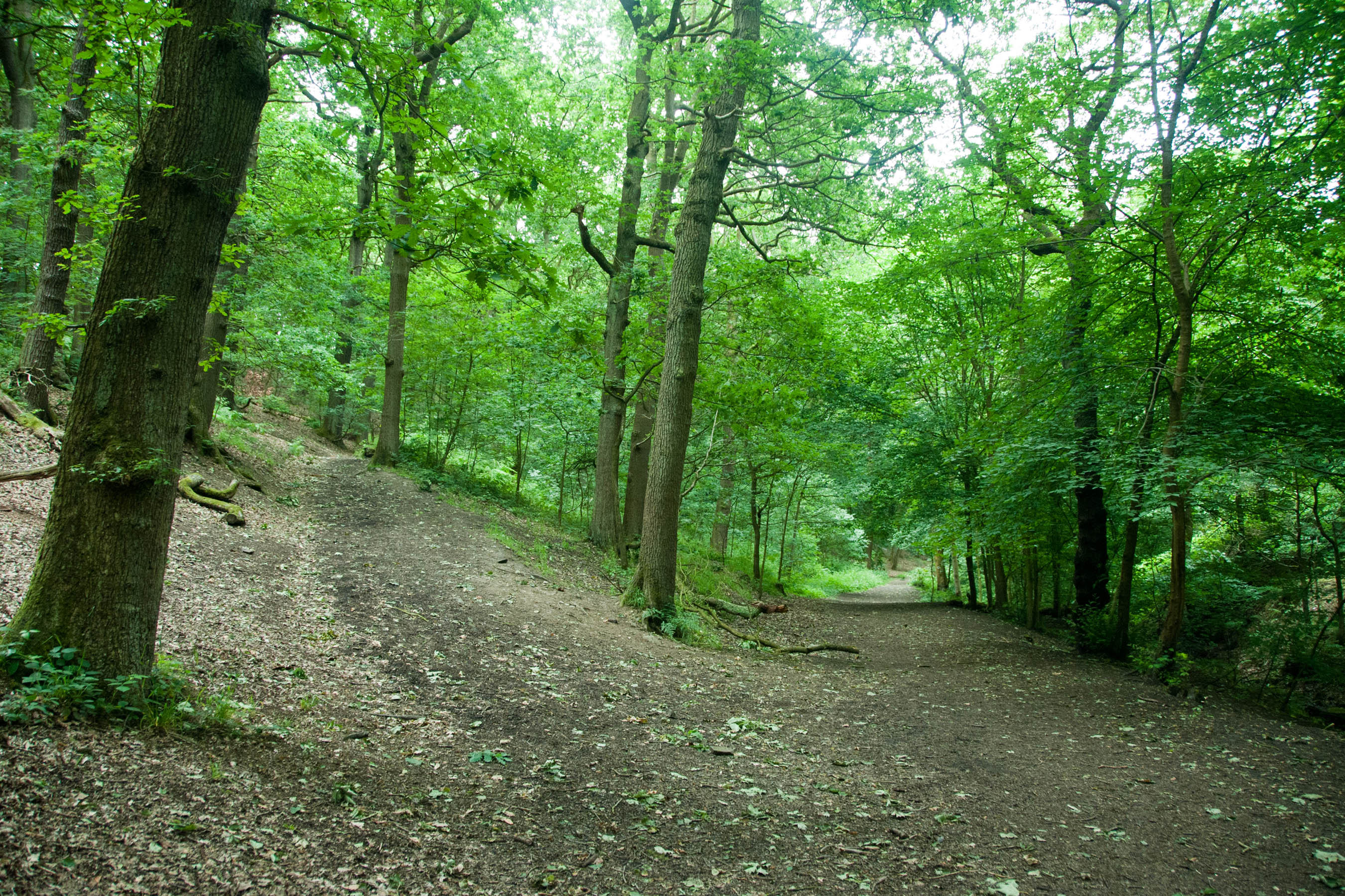
The village of Moorhead is nestled amidst the beautiful Yorkshire Dales National Park, offering residents and visitors an abundance of natural beauty and outdoor recreational opportunities. The area is characterized by rolling hills, lush green meadows, and charming stone-built cottages, creating a postcard-worthy setting.
Moorhead is primarily an agricultural village, with farming being a significant part of the local economy. Traditional farming practices, such as sheep rearing, are still prevalent in the area. The village is surrounded by vast farmlands where sheep graze freely, providing a scenic backdrop to the village.
Despite its small size, Moorhead boasts a strong sense of community. The village has a small primary school, a local pub, and a community center that hosts various events and activities throughout the year. The residents are known for their friendliness and hospitality, making Moorhead a welcoming place for both locals and tourists.
For those seeking outdoor adventures, Moorhead offers numerous walking and hiking trails, allowing visitors to explore the stunning countryside. The nearby Yorkshire Dales provide opportunities for activities such as cycling, horse riding, and bird watching.
In summary, Moorhead is a charming village in the heart of the Yorkshire Dales, offering a peaceful and idyllic setting for residents and visitors alike.
If you have any feedback on the listing, please let us know in the comments section below.
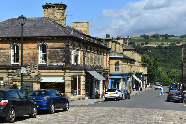
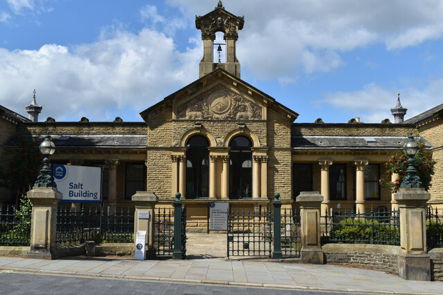
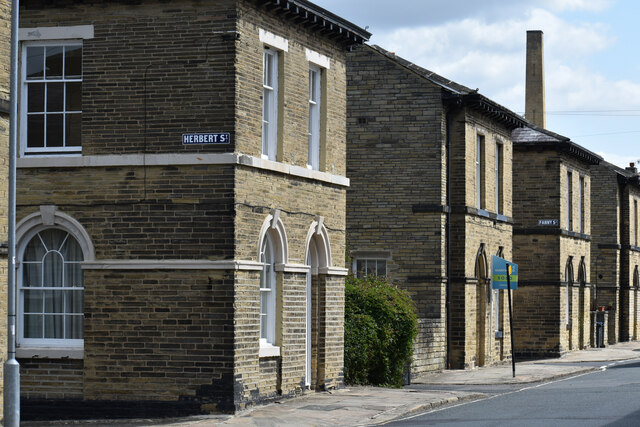
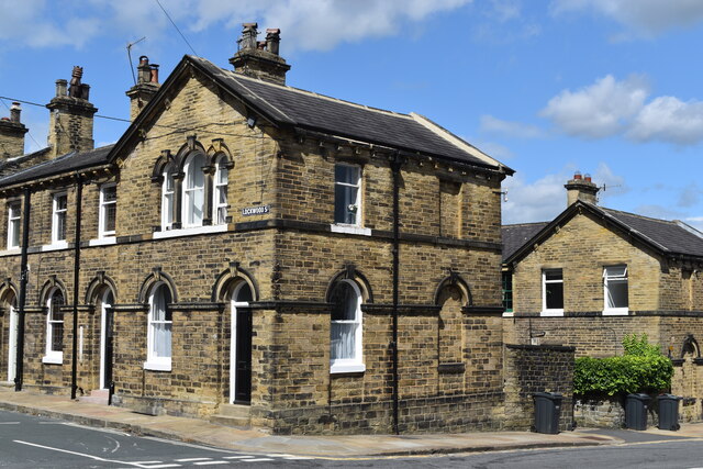
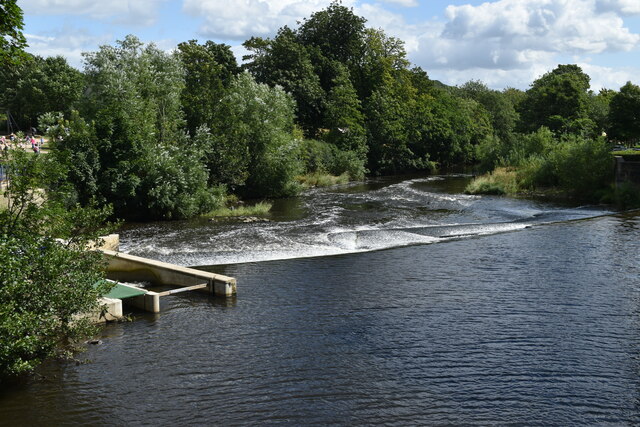
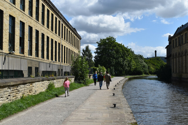
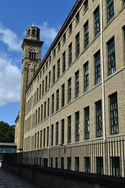
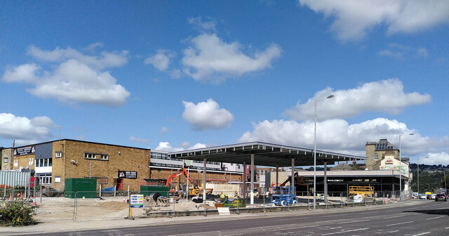
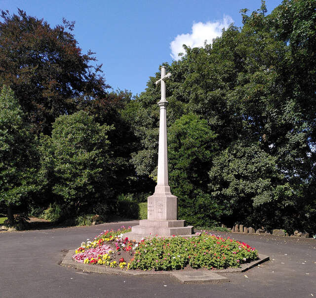
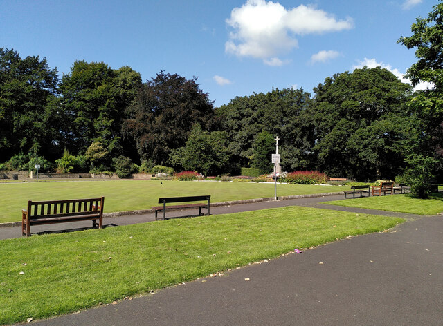
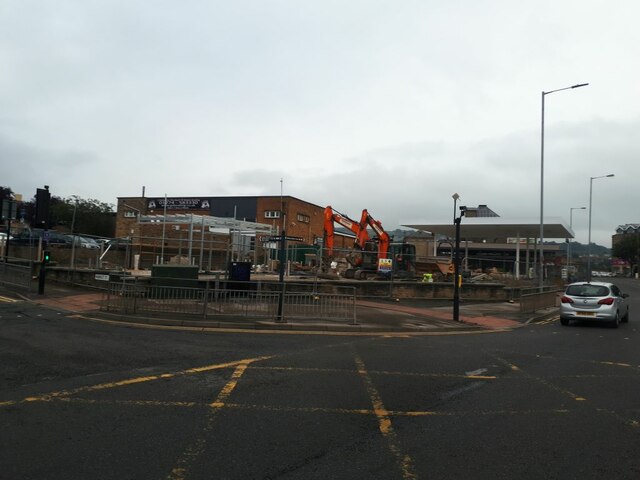
Moorhead Images
Images are sourced within 2km of 53.830705/-1.794697 or Grid Reference SE1337. Thanks to Geograph Open Source API. All images are credited.


Moorhead is located at Grid Ref: SE1337 (Lat: 53.830705, Lng: -1.794697)
Division: West Riding
Unitary Authority: Bradford
Police Authority: West Yorkshire
What 3 Words
///grand.nerve.patrol. Near Shipley, West Yorkshire
Nearby Locations
Related Wikis
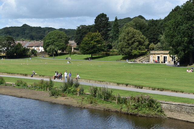
Northcliffe Park
Northcliffe Park is a 35-hectare (86-acre) area in Shipley, West Yorkshire, England, set aside for allotments, parkland and woodland. The park and playing...
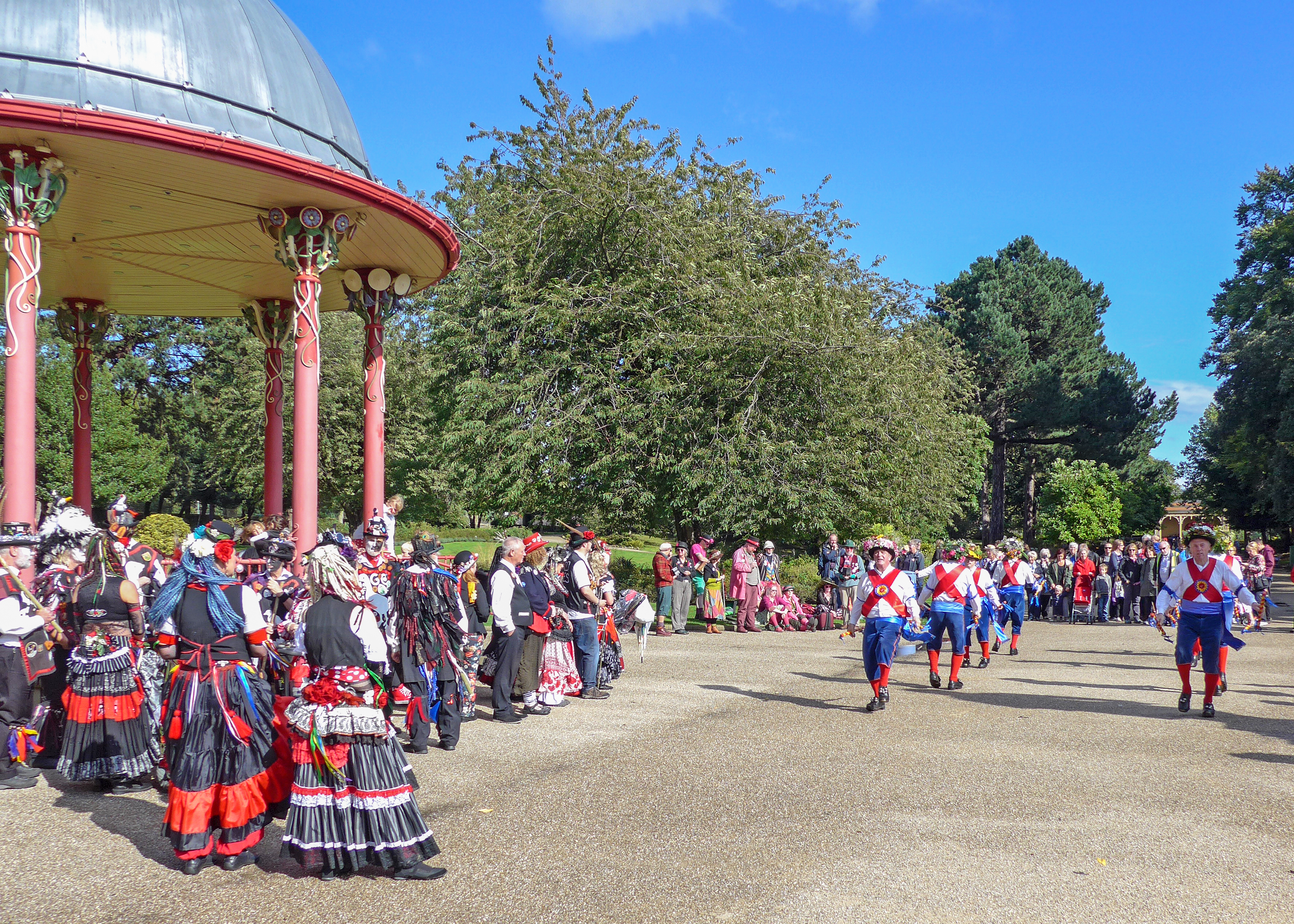
Saltaire Festival
Saltaire Festival occurs each September in the village of Saltaire, a World Heritage Site in the Metropolitan District of Bradford, West Yorkshire. The...

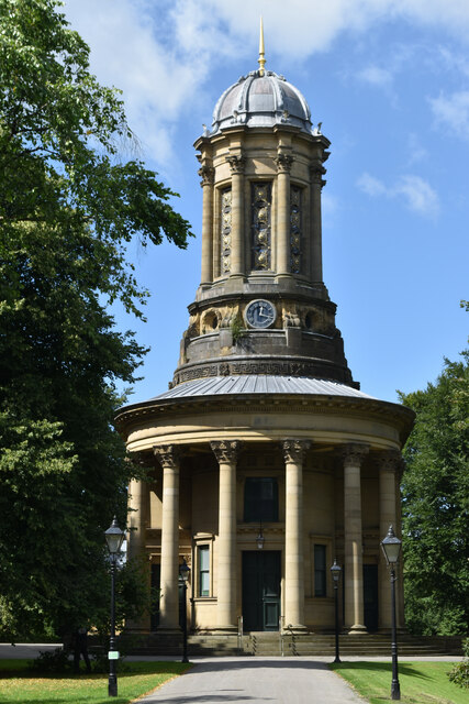
Victoria Hall, Saltaire
Victoria Hall, Saltaire (originally the Saltaire Institute) is a Grade II* listed building in the village of Saltaire, near Bradford, West Yorkshire, England...
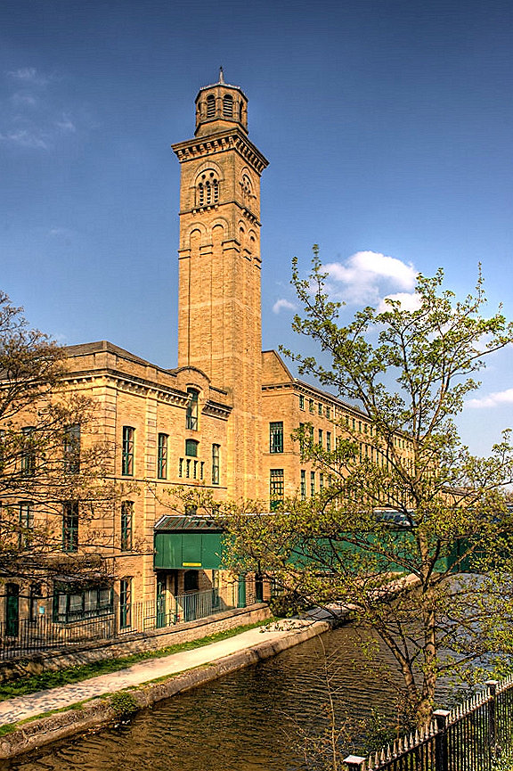
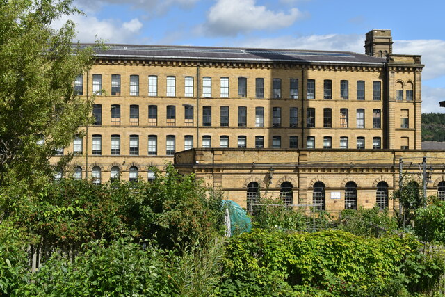
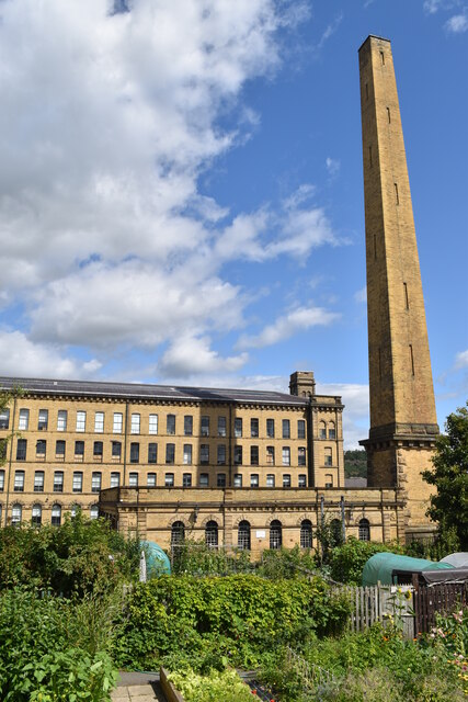
Saltaire
Saltaire is a Victorian model village in Shipley, West Yorkshire, England, situated between the River Aire, the railway, and the Leeds and Liverpool Canal...
Nearby Amenities
Located within 500m of 53.830705,-1.794697Have you been to Moorhead?
Leave your review of Moorhead below (or comments, questions and feedback).