Moor End

Settlement in Worcestershire Wychavon

England

Moor End

Field entrance and footpath off Netherwood Lane Field entrance and footpath off Netherwood Lane to the north of Crowle.
Field entrance and footpath off Netherwood Lane Credit: Philip Halling

Moor End is a charming village located in the county of Worcestershire, England. Situated in the heart of the beautiful countryside, it offers a peaceful and idyllic setting for residents and visitors alike. With a population of around 500, Moor End maintains a close-knit community feel.

The village is renowned for its picturesque surroundings, characterized by rolling hills, lush green fields, and meandering streams. This rural landscape attracts nature enthusiasts, walkers, and cyclists who can explore the numerous trails and paths in the area. Moor End is particularly famous for its stunning views from the nearby Moor End Hill, providing panoramic vistas of the Worcestershire countryside.

Although small, Moor End boasts essential amenities for its residents. The village has a primary school, which serves the local community and ensures a nurturing learning environment for children. Additionally, there is a village hall that hosts various community events and gatherings throughout the year, fostering a strong sense of belonging and community spirit.

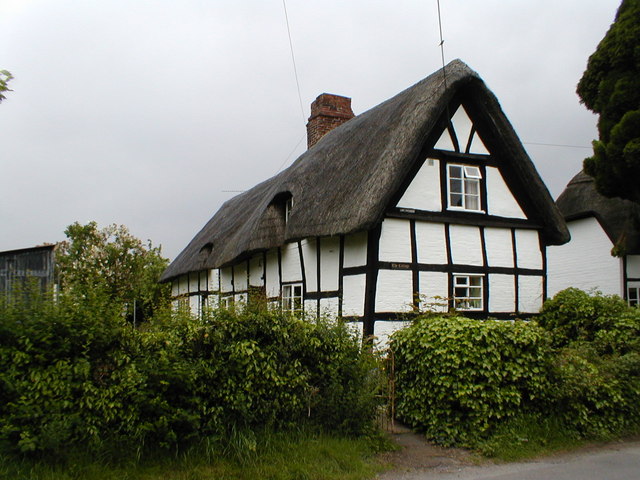
For those seeking a taste of history, Moor End offers a glimpse into the past with its historic buildings and landmarks. The St. Mary's Church, a Grade II listed building, stands as a testament to the village's rich heritage. Visitors can also explore nearby historical attractions such as the ruins of Witley Court and Gardens or the Worcester Cathedral, both within a short distance.

Overall, Moor End presents an enchanting countryside retreat, where residents can enjoy a serene lifestyle amidst natural beauty and a welcoming community.

If you have any feedback on the listing, please let us know in the comments section below.
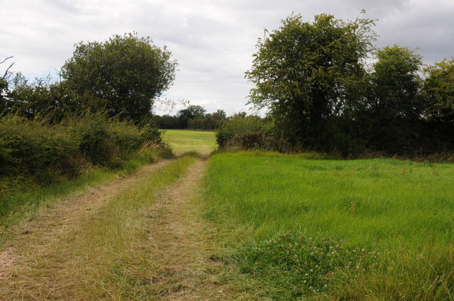
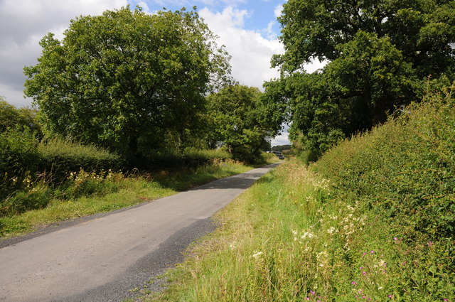
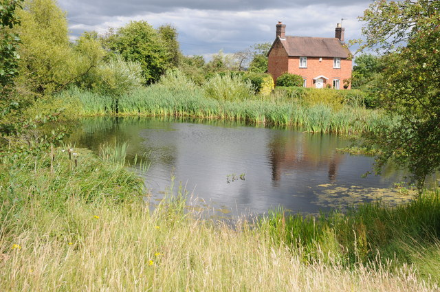
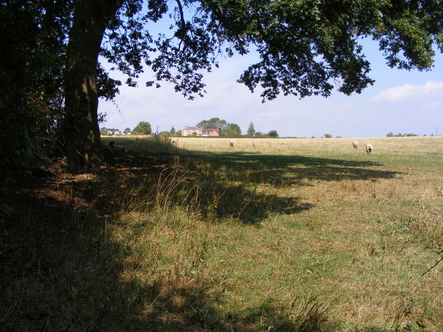
Moor End Images

Images are sourced within 2km of 52.204819/-2.130204 or Grid Reference SO9156. Thanks to Geograph Open Source API. All images are credited.

Field entrance and footpath off Netherwood Lane Field entrance and footpath off Netherwood Lane to the north of Crowle.
Field entrance and footpath off Netherwood Lane
Field entrance and footpath off Netherwood Lane to the north of Crowle.
Netherwood Lane Netherwood Lane links the villages of Crowle and Oddingley.
Netherwood Lane
Netherwood Lane links the villages of Crowle and Oddingley.
Village pond and cottage, Crowle A very traditional scene of a village pond and cottage in the village of Crowle.
Village pond and cottage, Crowle
A very traditional scene of a village pond and cottage in the village of Crowle.
Hay bales near Broughton Hackett Hay bales in a field between Broughton Hackett and Bredicot, Thrift Wood can be seen on the hill in the background.
Hay bales near Broughton Hackett
Hay bales in a field between Broughton Hackett and Bredicot, Thrift Wood can be seen on the hill in the background.
The Old Chequers The Pub off Crowle Green road at Crowle, Worcestershire.
The Old Chequers
The Pub off Crowle Green road at Crowle, Worcestershire.
Crowle Green The road junction in Crowle with Netherwood Lane viewed from the pub car park.
Crowle Green
The road junction in Crowle with Netherwood Lane viewed from the pub car park.
Church View The view towards Crowle Church.
Church View
The view towards Crowle Church.
Tree View The view west from Thrift Wood Hill near Crowle.
Tree View
The view west from Thrift Wood Hill near Crowle.
Path to Thrift Wood The Footpath view up hill near Crowle.
Path to Thrift Wood
The Footpath view up hill near Crowle.
Thrift Wood View
Thrift Wood View
Under the Rails The footpath passes under the Birmingham to Cheltenham railway line near Bredicot.
Under the Rails
The footpath passes under the Birmingham to Cheltenham railway line near Bredicot.
High Speed Crossing The footpath passes over the track on the Birmingham to Cheltenham line, frequently used by the Virgin trains near Bredicot.
High Speed Crossing
The footpath passes over the track on the Birmingham to Cheltenham line, frequently used by the Virgin trains near Bredicot.
St James Scene The 13th Century church of St James the Less at Bredicot.
St James Scene
The 13th Century church of St James the Less at Bredicot.
The Old Rectory The view next to St James the Less Church at Bredicot.
The Old Rectory
The view next to St James the Less Church at Bredicot.
Field view The view towards Crowle from the footpath near Broughton Hackett.
Field view
The view towards Crowle from the footpath near Broughton Hackett.
Pub Footpath The footpath in Crowle near The Old Chequers Pub.
Pub Footpath
The footpath in Crowle near The Old Chequers Pub.
Thrift Wood Hill The view down the hill side near Crowle.
Thrift Wood Hill
The view down the hill side near Crowle.
Clover Path The footpath view near Thrift Wood, Crowle.
Clover Path
The footpath view near Thrift Wood, Crowle.
Show me another place!

Moor End is located at Grid Ref: SO9156 (Lat: 52.204819, Lng: -2.130204)

Administrative County: Worcestershire

District: Wychavon

Police Authority: West Mercia

What 3 Words

///deck.talent.swung. Near Fernhill Heath, Worcestershire

Nearby Locations

Moor End

Related Wikis

Crowle, Worcestershire

Crowle (rhymes with coal) is a village in Worcestershire, England situated 4 miles (6.4 km) east of the City of Worcester. Crowle is known for its Church...

Tibberton, Worcestershire

Tibberton is a village in Worcestershire, England. It is located around 4 miles north-east of Worcester and less than a mile from junction 6 of the M5...

Bredicot railway station

Bredicot railway station served the village of Bredicot, Worcestershire, England, from 1845 to 1855 on the Birmingham and Gloucester Railway. == History... ==

Bredicot

Bredicot is a small village and civil parish in Worcestershire, England, about 4 miles (6.4 km) east of Worcester. It was formerly (as described in 1868...

Nearby Amenities

Located within 500m of 52.204819,-2.130204
Power: pole
Lat/Long: 52.2034201/-2.1245134
Power: pole
Lat/Long: 52.2059531/-2.1255219
Crowle Bank
Power: pole
Transformer: distribution
Voltage Primary: 11000
Lat/Long: 52.2078327/-2.125479
Power: pole
Lat/Long: 52.2070955/-2.1255058
Power: pole
Lat/Long: 52.2065169/-2.1255038
Power: pole
Lat/Long: 52.2049282/-2.1232755
Power: pole
Lat/Long: 52.2050926/-2.1246877
Power: pole
Lat/Long: 52.2052011/-2.1255487
Power: pole
Lat/Long: 52.2047228/-2.1255581
Power: pole
Lat/Long: 52.2041894/-2.1255541
Power: pole
Lat/Long: 52.2046776/-2.1262287
Power: pole
Lat/Long: 52.2052126/-2.1269515
Power: pole
Lat/Long: 52.2059096/-2.127838
Power: pole
Lat/Long: 52.2056359/-2.1368086
Power: pole
Lat/Long: 52.2057024/-2.1354494
Power: pole
Lat/Long: 52.2057666/-2.1340708
Moor End
Power: pole
Transformer: distribution
Voltage Primary: 11000
Lat/Long: 52.2060037/-2.1326633
Power: pole
Lat/Long: 52.2060045/-2.1315636
Power: pole
Lat/Long: 52.2061586/-2.1301219
Power: pole
Lat/Long: 52.2065009/-2.1286936
Thatchmoor
Power: pole
Transformer: distribution
Voltage Primary: 11000
Lat/Long: 52.2069936/-2.1293668
Power: pole
Lat/Long: 52.2074555/-2.1299978
Power: pole
Lat/Long: 52.2082333/-2.1310392
Power: pole
Lat/Long: 52.2087488/-2.1317694
The data included in this document is from www.openstreetmap.org. The data is made available under ODbL.

Have you been to Moor End?

Leave your review of Moor End below (or comments, questions and feedback).