Belmont
Settlement in Berkshire Vale of White Horse
England
Belmont

Belmont is a small village located in Berkshire, England. Situated approximately 7 miles west of Reading, it is nestled in the picturesque countryside of South East England. Belmont is part of the civil parish of Speen and falls within the district of West Berkshire.
The village is known for its charming and tranquil environment, offering residents and visitors a peaceful retreat from the hustle and bustle of nearby towns. Surrounded by lush green fields and countryside, Belmont boasts breathtaking views and is perfect for those seeking a rural lifestyle.
Despite its small size, Belmont has a strong sense of community. The village is home to a close-knit population who take pride in their local heritage. Belmont is known for its traditional village events, including summer fairs, community sports tournaments, and festive celebrations.
The village is well-connected, with good transport links to nearby towns and cities. The M4 motorway is easily accessible, providing convenient access to London and Wales. Additionally, the nearby railway station of Newbury offers regular train services to London Paddington and other major cities.
Although Belmont does not have many amenities of its own, residents can find a range of shops, restaurants, and leisure facilities in the nearby towns of Newbury and Reading. The village is also surrounded by beautiful natural attractions, such as the North Wessex Downs Area of Outstanding Natural Beauty, which offers opportunities for scenic walks and outdoor activities.
Overall, Belmont offers a charming and peaceful countryside retreat while still providing easy access to nearby urban areas and amenities.
If you have any feedback on the listing, please let us know in the comments section below.
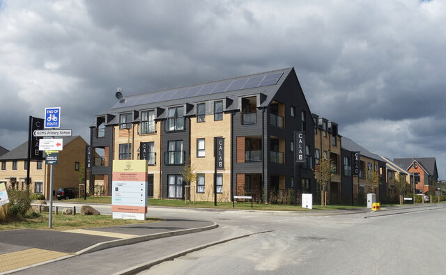
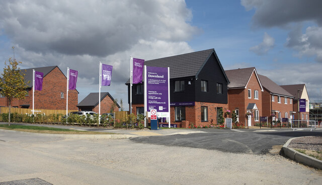
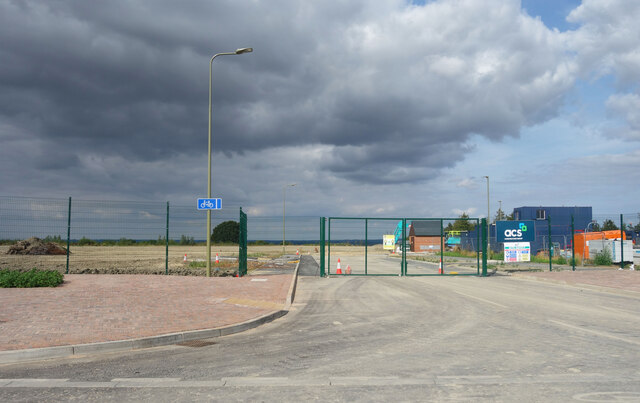
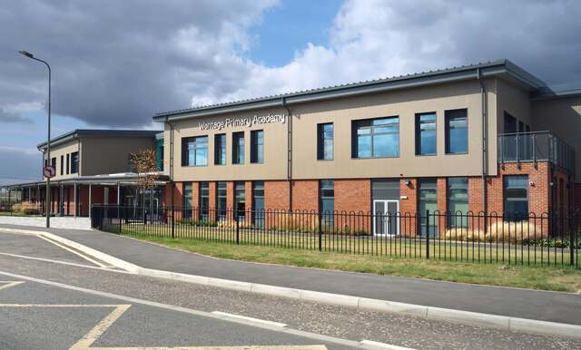
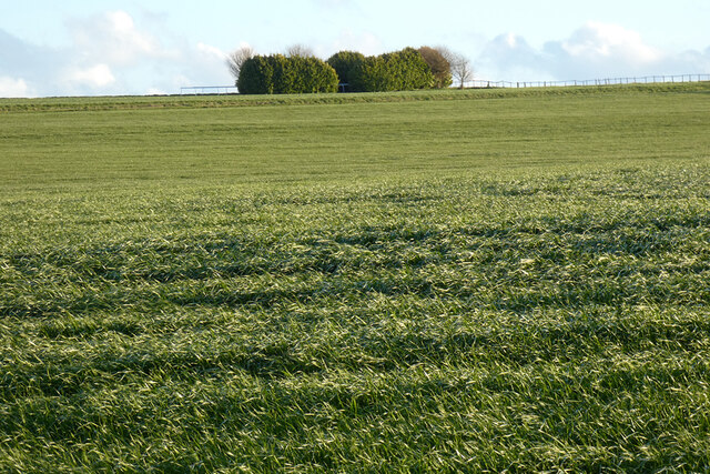
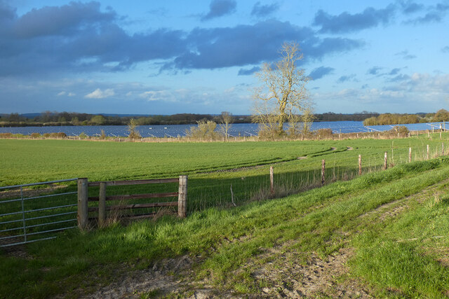
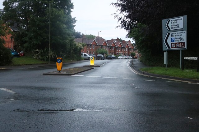
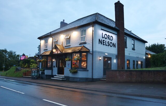
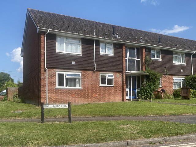
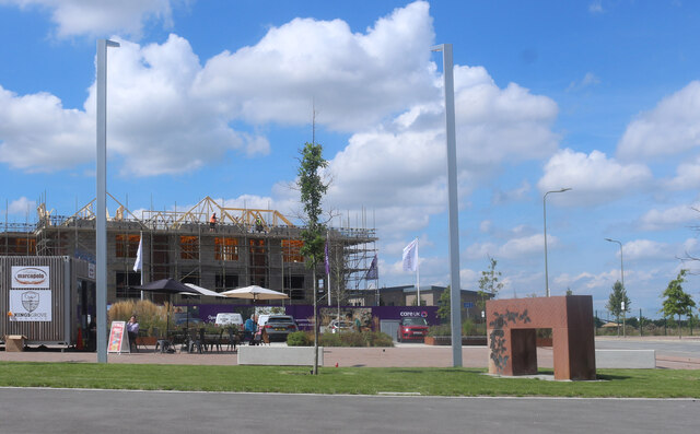
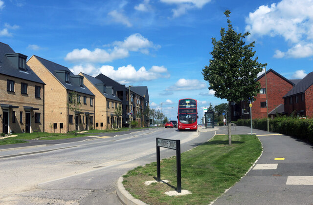
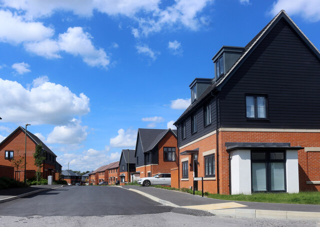
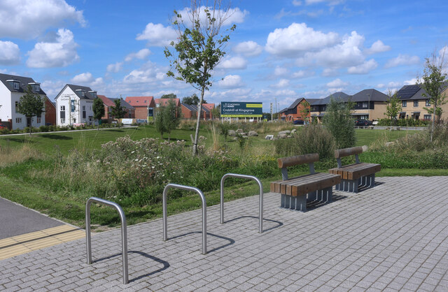
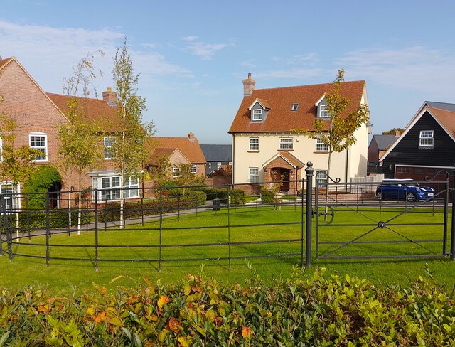
Belmont Images
Images are sourced within 2km of 51.592012/-1.42702 or Grid Reference SU3988. Thanks to Geograph Open Source API. All images are credited.

Belmont is located at Grid Ref: SU3988 (Lat: 51.592012, Lng: -1.42702)
Administrative County: Oxfordshire
District: Vale of White Horse
Police Authority: Thames Valley
What 3 Words
///emulating.scooped.transit. Near Wantage, Oxfordshire
Nearby Locations
Related Wikis

Wantage railway station
Wantage railway station is a closed stone and brick built station located on Mill Street, Wantage in Oxfordshire on the Wantage Tramway line. The station...
Wantage
Wantage () is a historic market town and civil parish in Oxfordshire, England. Although within the boundaries of the historic county of Berkshire, it has...
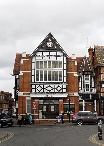
Old Town Hall, Wantage
The Old Town Hall is a municipal building in the Market Place in Wantage, Oxfordshire, England. The building, which was the headquarters of Wantage Urban...

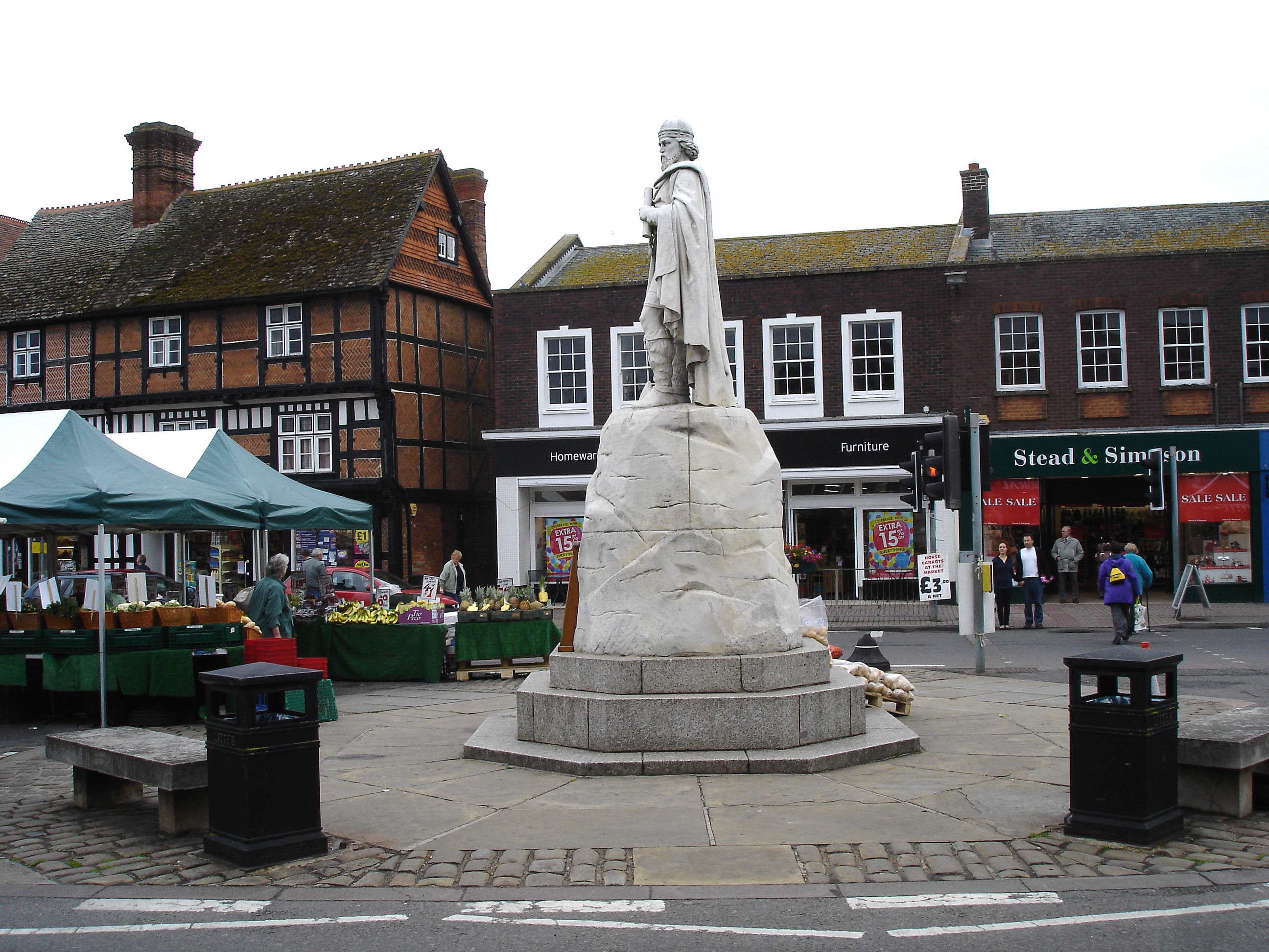
Statue of Alfred the Great, Wantage
The statue of Alfred the Great, in the Wantage market place, was sculpted by Count Gleichen, a relative of Queen Victoria's, and unveiled on 14 July 1877...

Vale and Downland Museum
The Vale and Downland Museum is a local history museum in the market town of Wantage, Oxfordshire, England. Often described as a hidden gem the museum...
St Mary's School, Wantage
St Mary's School was a private day and boarding girls' school located in Wantage, Oxfordshire, England. In 2007 it merged with Heathfield School to become...

King Alfred's Academy
King Alfred's Academy is a Secondary school in Wantage, Oxfordshire, recognised as an Academy. It is named after King Alfred the Great, who ruled Wessex...

Wantage (UK Parliament constituency)
Wantage is a constituency in Oxfordshire represented in the House of Commons of the Parliament of the United Kingdom by Conservative MP David Johnston...
Nearby Amenities
Located within 500m of 51.592012,-1.42702Have you been to Belmont?
Leave your review of Belmont below (or comments, questions and feedback).