Belmont
Settlement in Ayrshire
Scotland
Belmont

Belmont is a small suburban area located in the county of Ayrshire, Scotland. It is situated on the outskirts of the town of Ayr, approximately 35 miles southwest of Glasgow. Known for its picturesque surroundings and peaceful atmosphere, Belmont offers a tranquil and idyllic living environment.
The area is primarily residential, characterized by a mix of detached houses, semi-detached houses, and smaller apartment complexes. The architecture is diverse, with properties ranging from traditional stone-built cottages to modern housing developments. Many houses in Belmont enjoy scenic views of the rolling countryside and nearby farmland.
Belmont benefits from excellent transport links, with easy access to the A77 road connecting to Ayr and Glasgow. The town of Ayr is just a short drive away, offering a range of amenities including supermarkets, shops, restaurants, and leisure facilities. Additionally, the beautiful Ayrshire coastline is within close proximity, providing residents with stunning beaches and coastal walks.
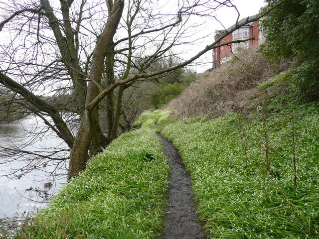
The area boasts several green spaces and recreational facilities, including the nearby Belleisle Park and Seafield Golf Course. These offer opportunities for outdoor activities such as walking, jogging, and golfing. Belmont also benefits from a number of local schools, making it an attractive area for families.
Overall, Belmont, Ayrshire, offers a peaceful and picturesque living environment with a strong sense of community. Its proximity to both Ayr and the beautiful Ayrshire coastline adds to its appeal, making it an ideal place to live for those seeking a balance between countryside charm and urban conveniences.
If you have any feedback on the listing, please let us know in the comments section below.
Belmont Images
Images are sourced within 2km of 55.447344/-4.616713 or Grid Reference NS3420. Thanks to Geograph Open Source API. All images are credited.


Belmont is located at Grid Ref: NS3420 (Lat: 55.447344, Lng: -4.616713)
Unitary Authority: South Ayrshire
Police Authority: Ayrshire
What 3 Words
///mostly.keys.paying. Near Ayr, South Ayrshire
Nearby Locations
Related Wikis
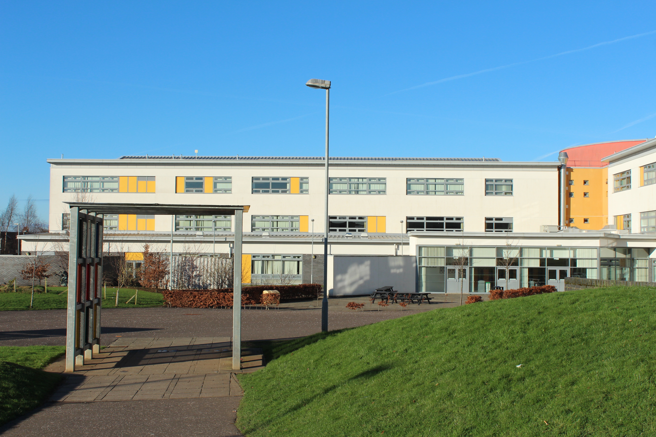
Belmont Academy
Belmont Academy (Scottish Gaelic: Àrd-sgoil Bhelmont) is the largest secondary school in Ayr. The Academy is non-denominational and state-run by South...

Belmont, Ayr
Belmont is an area within the south of the town of Ayr, South Ayrshire, Scotland, UK....
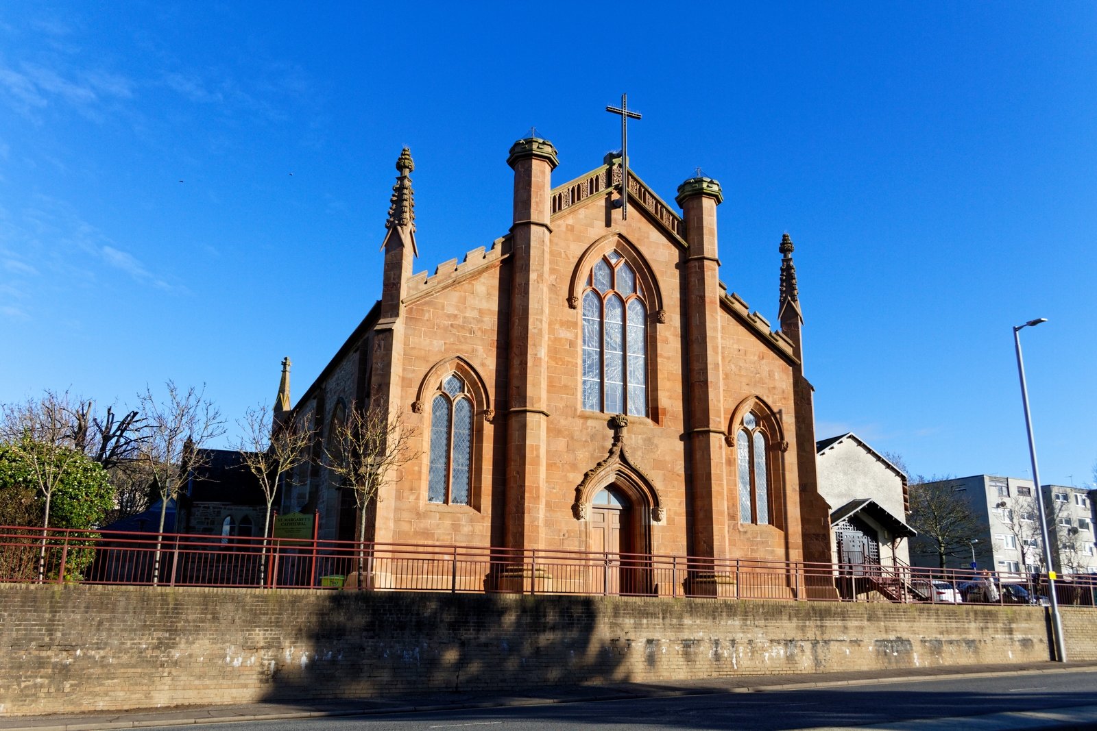
Roman Catholic Diocese of Galloway
The Diocese of Galloway (Latin: Dioecesis Candidae Casae o Gallovidianus) is a Latin Church ecclesiastical territory or diocese of the Catholic Church...

West Sound (Ayrshire)
West Sound (Ayrshire) was an independent local radio station based in Ayr, Scotland, originally independent, but the licence is now owned and operated...
Kincaidston
Kincaidston is a housing scheme in the town of Ayr in South Ayrshire, Scotland. The estate borders Belmont to the north, Alloway to the west and the A77...
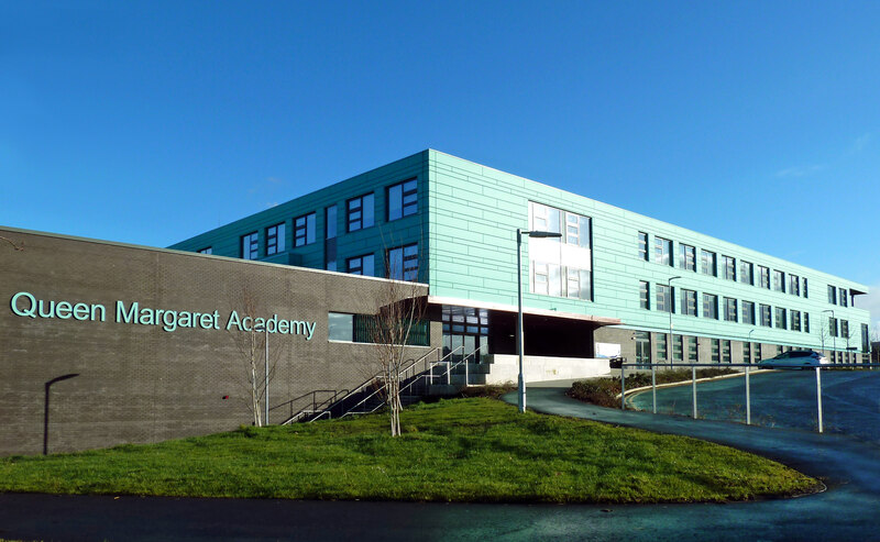
Queen Margaret Academy
Queen Margaret Academy (Scottish Gaelic: àrd-sgoil/Acadamh banrigh Maighread) is a Roman Catholic secondary school in the south of Ayr in southwest Scotland...
Ayr County Hospital
Ayr County Hospital was a health facility in Holmston Road, Ayr, South Ayrshire, Scotland. == History == The facility had its origins in an establishment...
Ayr Ice Rink
Ayr Ice Rink was an ice arena in Ayr, Scotland that opened in 1939 and was used for ice skating, ice hockey and curling. The rink was notable as being...
Nearby Amenities
Located within 500m of 55.447344,-4.616713Have you been to Belmont?
Leave your review of Belmont below (or comments, questions and feedback).