Mitton
Settlement in Staffordshire South Staffordshire
England
Mitton

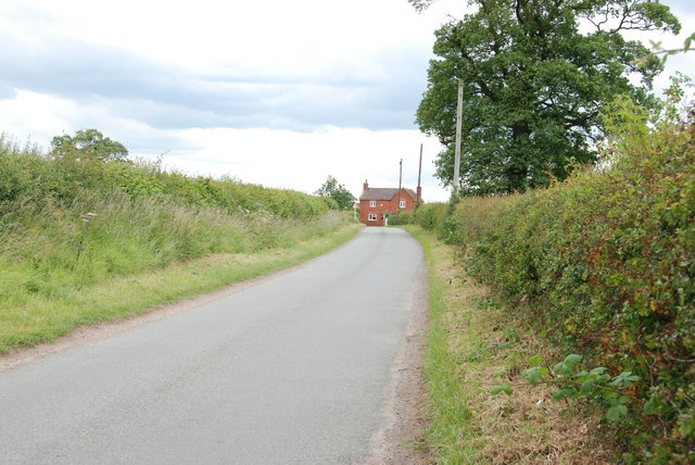
Mitton is a small village located in the county of Staffordshire, England. Situated on the outskirts of the market town of Penkridge, Mitton is surrounded by picturesque countryside and offers a tranquil setting for its residents.
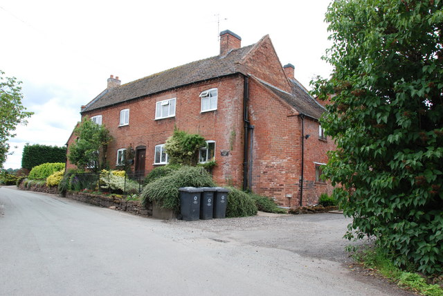
The village is known for its charming, traditional architecture, with many of the houses dating back to the 18th and 19th centuries. The local church, St. John the Baptist, is a prominent feature in Mitton, boasting a stunning medieval design and a rich history.
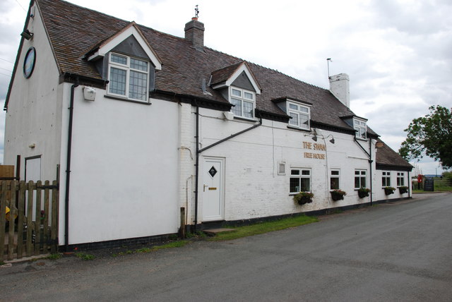
Despite its small size, Mitton benefits from a strong sense of community. The village has a primary school, providing education for local children, as well as a village hall that serves as a hub for social gatherings and events. Additionally, there is a local pub that offers a warm and welcoming atmosphere for both residents and visitors.
Mitton is conveniently located near the A449 road, providing easy access to nearby towns and cities. The village is well-connected by public transportation, with regular bus services running to and from Penkridge, where residents can find a wider range of amenities including shops, supermarkets, and healthcare facilities.
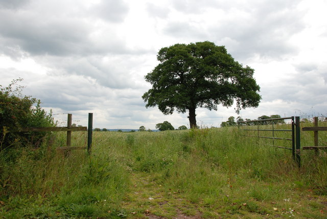
Surrounded by beautiful countryside, Mitton offers ample opportunities for outdoor activities such as hiking, cycling, and exploring the nearby Cannock Chase, an Area of Outstanding Natural Beauty. The village is also within close proximity to the historic town of Stafford, known for its castle and vibrant cultural scene.
Overall, Mitton is a charming and idyllic village that offers a peaceful and close-knit community, while still providing easy access to a range of amenities and nearby attractions.
If you have any feedback on the listing, please let us know in the comments section below.
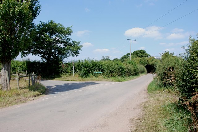
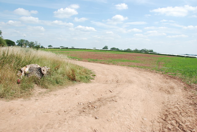
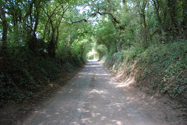
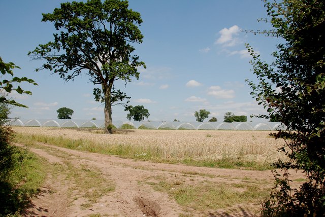
Mitton Images
Images are sourced within 2km of 52.735005/-2.172802 or Grid Reference SJ8815. Thanks to Geograph Open Source API. All images are credited.


Mitton is located at Grid Ref: SJ8815 (Lat: 52.735005, Lng: -2.172802)
Administrative County: Staffordshire
District: South Staffordshire
Police Authority: Staffordshire
What 3 Words
///safety.waged.sake. Near Penkridge, Staffordshire
Nearby Locations
Related Wikis

Whiston, South Staffordshire
Whiston is a hamlet in the South Staffordshire district of Staffordshire, England. Population details taken at the 2011 census can be found under Penkridge...
Bickford
Bickford is a village in Staffordshire, England. For population details taken at the 2011 census see Penkridge == See also == Listed buildings in Penkridge...
Levedale
Levedale is a small somewhat elongated English village situated some 4 miles southwest of Stafford, 2 miles northwest of Penkridge and a mile west of Dunston...
Woollaston
Woollaston is a small hamlet near Bradley, Staffordshire, England, four miles northwest of Penkridge and two miles southeast of Church Eaton. It lies in...

Lapley
Lapley is a village and former civil parish, now in the parish of Lapley, Stretton and Wheaton Aston, in the South Staffordshire district, in the county...

Lapley Priory
Lapley Priory was a priory in Staffordshire, England. Founded at the very end of the Anglo-Saxon period, it was an alien priory, a satellite house of the...

Bradley, Staffordshire
Bradley is a village and civil parish in Staffordshire, England. The population of the civil parish at the 2011 census was 513. It is located close to...

Lapley, Stretton and Wheaton Aston
Lapley, Stretton and Wheaton Aston is a civil parish in the South Staffordshire district, in the county of Staffordshire, England. The population of the...
Nearby Amenities
Located within 500m of 52.735005,-2.172802Have you been to Mitton?
Leave your review of Mitton below (or comments, questions and feedback).