Mirfield Moor
Settlement in Yorkshire
England
Mirfield Moor
Mirfield Moor is a picturesque area located in the county of Yorkshire, England. Situated in the borough of Kirklees, this rural landscape is characterized by its rolling hills, lush green fields, and charming countryside. It is a popular destination for nature lovers and outdoor enthusiasts, offering stunning views and a tranquil atmosphere.
The moor is located just a few miles southwest of the town of Mirfield, which is known for its rich history and architectural heritage. Mirfield Moor itself boasts a diverse ecosystem, with a variety of plant and animal species that thrive in its fertile soil. Visitors can expect to encounter a range of wildlife, including birds, small mammals, and butterflies, making it an ideal spot for birdwatching and nature photography.
The area is also home to several walking trails and footpaths, allowing visitors to explore the moor at their own pace. These trails offer panoramic views of the surrounding countryside, as well as opportunities to discover hidden gems such as ancient stone formations and charming villages.
In addition to its natural beauty, Mirfield Moor is steeped in history. The area has been inhabited for centuries, and remnants of its past can still be seen in the form of historical landmarks and archaeological sites. These include ancient burial mounds and Roman ruins, providing a glimpse into the region's rich cultural heritage.
Overall, Mirfield Moor is a captivating destination that offers a perfect blend of natural beauty and historical significance. Whether it's a leisurely walk, a picnic in the countryside, or an exploration of the area's past, visitors to Mirfield Moor are sure to be enthralled by its charm and tranquility.
If you have any feedback on the listing, please let us know in the comments section below.
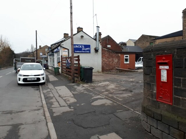
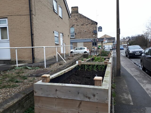
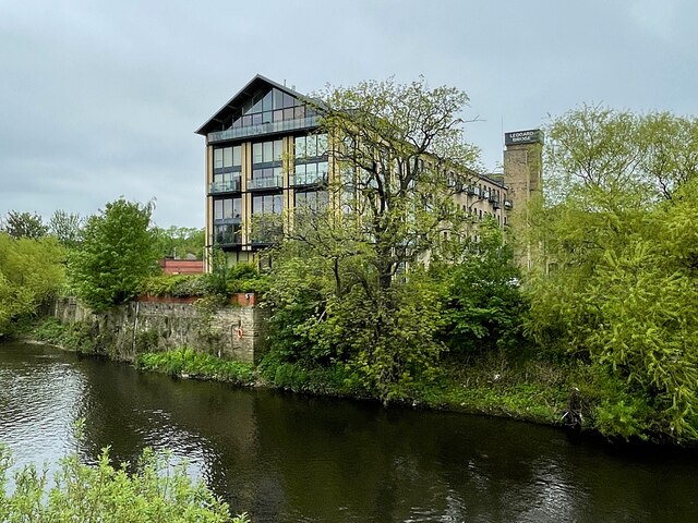
Mirfield Moor Images
Images are sourced within 2km of 53.685114/-1.7137943 or Grid Reference SE1921. Thanks to Geograph Open Source API. All images are credited.


Mirfield Moor is located at Grid Ref: SE1921 (Lat: 53.685114, Lng: -1.7137943)
Division: West Riding
Unitary Authority: Kirklees
Police Authority: West Yorkshire
What 3 Words
///limbs.tins.recall. Near Mirfield, West Yorkshire
Nearby Locations
Related Wikis
College of the Resurrection
The College of the Resurrection, popularly known as Mirfield, is an Anglo-Catholic theological college of the Church of England in Mirfield, West Yorkshire...

Battyeford
Battyeford is a village in West Yorkshire, England west of the town of Mirfield. == History == From 1900 to 1953 the village was served by Battyeford railway...

Heaton Lodge railway station
Heaton Lodge railway station co-served the suburb of Bradley, Huddersfield, in the historical county of West Riding of Yorkshire, England, from 1847 to...
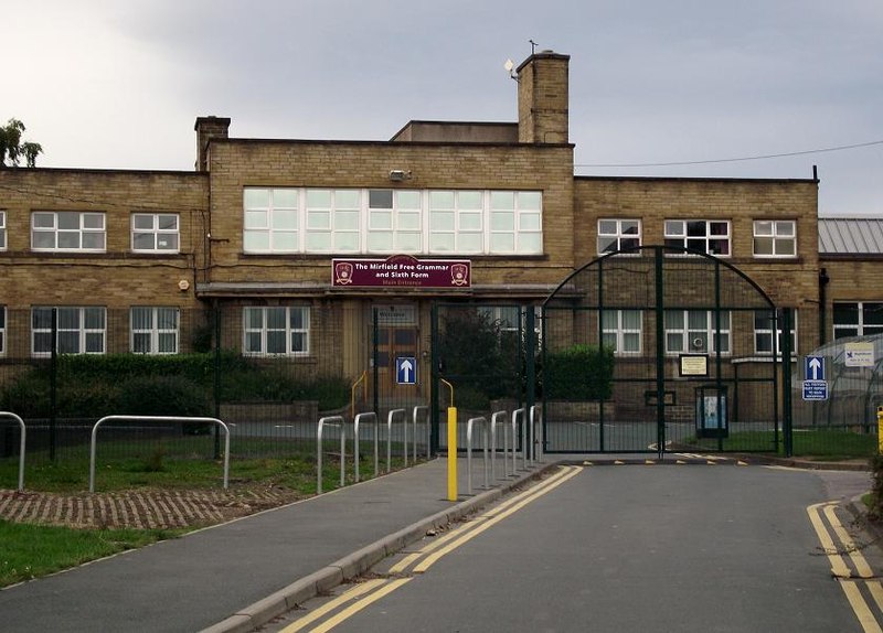
The Mirfield Free Grammar
The Mirfield Free Grammar (also known as the MFG), previously Mirfield High School (MHS), and sixth form is a secondary school in the town of Mirfield...
Battyeford railway station
Battyeford railway station served the village of Battyeford in West Yorkshire, England. == History == Built by the London and North Western Railway and...

Cooper Bridge railway station
Cooper Bridge was a railway station built by the Manchester and Leeds Railway to serve the town of Huddersfield in West Yorkshire, England. == History... ==
Holly Bank Trust
Hollybank was one of the first registered schools for disabled children to be built in the North of England. It is a registered charity and care home,...

River Colne, West Yorkshire
The River Colne in West Yorkshire is formed at the confluence of two brooks that originate in the Pennines close to Marsden. It flows in an easterly...
Nearby Amenities
Located within 500m of 53.685114,-1.7137943Have you been to Mirfield Moor?
Leave your review of Mirfield Moor below (or comments, questions and feedback).